Reports and Photos
[Best viewed on computer vs. phone]
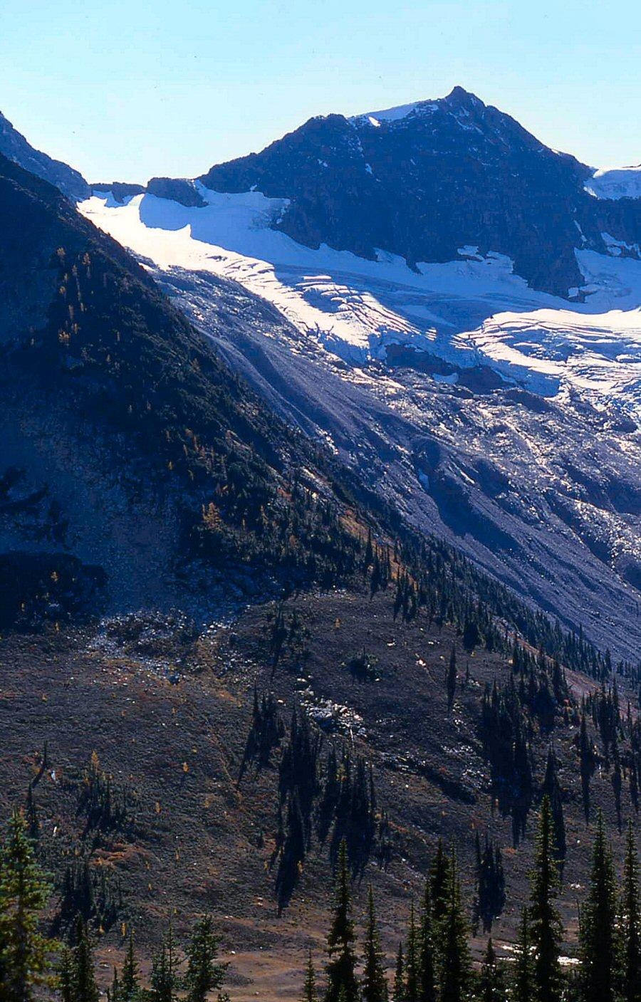
On the way up these North Cascades peaks, we wondered if anyone had ever climbed them. Atop these summits, we found no evidence of previous ascent, unless noted.
By 1966, most of the celebrated classic North Cascade peaks had been previously climbed, but there were still a few nuggets left in the bottom of the pan.
The full more complete “North Cascades National Park First Ascent Chronology” is here. Fred Beckey’s NCNP list is here. Fred had a head start on me. He turned 21 the day I was born.
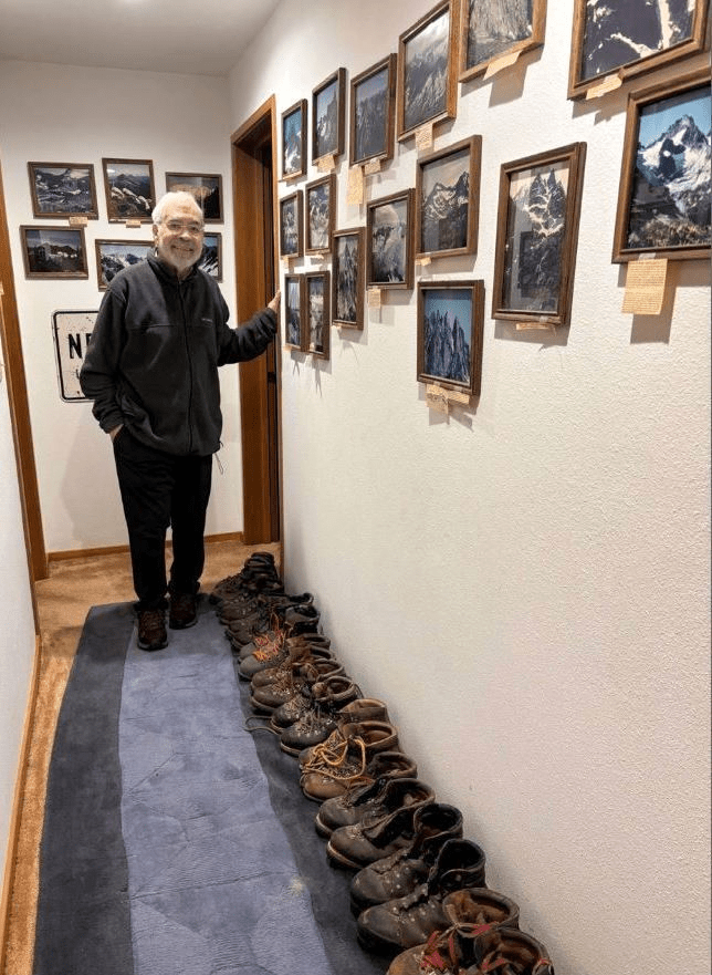
Many thanks go to my friends named below who came along, delighting and suffering. The alphabetical list leads to links of peaks presented in chronologic order of our climbs. It is a lot easier/quicker to climb them than scan slides and write about them. Photos without the photographer’s name were taken by author and scanned from color slides before 2005.
A few new routes and first winter ascents are also thrown in.
Symbols
‘ italicized name‘ with single quote indicates the peak name applied by our party
“ ” double quote marks indicate other unofficial name
*/FA: First ascent of peak
FKA: First known ascent
FRA: First recorded ascent
Nepa: No evidence of previous ascent
Epa: Evidence of previous ascent
*FWA: First winter ascent
NR: New route on peak (not first ascent of that peak)
2A: Second ascent of peak
LoJ indicates web link to https://listsofjohn.com/search?State=WA with thanks to John Kirk
PB indicates web link to www.peakbagger.com with thanks to Greg Slayden
CAG indicates Cascade Alpine Guide by Fred Beckey. CAG+ means peak is included there.
CAG- peak is not included.
P Prominence, defined here.
Pcl Clean prominence
Pmn Mean prominence (often used on low prominence peaks)
+ shown at center of maps are crosshairs on that feature
Elevations listed are occasionally those that were shown on the map we used at the time of our climbs. So elevations that may seem peculiar now are likely those labeled on the old 15-minute USGS quads rather than the newer 7.5-minute quads or current online maps.
In 2022, Eric Gilbertson began carrying survey-grade tools (theodolite and differential GPS) to Washington’s highest mountains to more accurately measure elevations and prominences, supplementing Lidar calculations. Those may be included here, as they are often recorded on LoJ and PB.
My most special thanks goes to my friend John Scurlock for the many art-gallery quality winter aerial photos of these peaks. Be sitting down when you open his site: https://www.pbase.com/nolock. And my thanks also go to many others whose photos I have enjoyed from personal contacts or online sources whose names are credited with the photo. Lacking contact information on some photo-prize winners, I hope you’re OK with and appreciate having your photo displayed. If not please let me hear. This is a personal “period piece” so no finances are involved.
Some of the summits listed below may have been previously climbed by unknown Indigenous persons, USGS surveyors (with or without helicopters), miners, US Forest Service, geologists, road surveyors, NOLS and Outward Bound groups, loggers, hunters, fishermen, trappers, shepherds, and any manner of independent explorers who left no mark. I would love to hear any of those stories. If no evidence of previous ascent is found now, the historic documents they left on those summits have been removed by unknown followers, or destroyed by weather/lightning.
First Ascents Index (elevations per USGS paper quadrangles)
Click on link to go to peak page. Use “back arrow” (<-) to return to list.
Use “back arrow” to return to site if any photo is “Enlarged” or map on ListsofJohn (LoJ) or Peakbagger (PB) is accessed.
Use “ctrl F” to Search.
| 8/8/88 Peak (7509) | 1988 | 8/8/88 |
| Addict, The (~7300) | 1984 | 6/16/84 |
| Adolescent, The/Black Beard (7241) | 1983 | 8/7/83 |
| Ajo Mtn (5080+) | 1999 | 6/10/99 |
| Alastor (7326) | 1985 | 8/13/85 |
| Alrac Peak (6720+) | 1983 | 9/26/83 |
| Anonymity Tower (8000+) | 1986 | 8/31/86 |
| Apostle, The (6910) | 1978 | 7/30/78 |
| Apparition (7998-) | 1980 | 7/29/80 |
| Arc de Triumph (6080+) | 1966 | 7/28/66 |
| Arctic Mountain (5941) | 2002 | 6/20/02 |
| Baby Cheek (7360+) | 1969 | 6/14/69 |
| Baekos Peak (7529) | 1987 | 6/27/87 |
| Basenji Spires (7840+) | 1980 | 7/31/80 |
| Bat, The (6475) | 1967 | 8/26/67 |
| Bath Peak (6900+) | 1988 | 8/6/88 |
| Bearcat Ridge Peak (8035) | 1992 | 8/6/92 |
| Beefhide Butte (8030) | 1998 | 5/4/98 |
| Beheaded Dog Burying Bone (7035) | 1982 | 9/5/82 |
| Benzarino, Mount (7720+) | 1976 | 7/25/76 |
| Benzarino, North (7720+) | 1984 | 6/16/84 |
| Big Bosom Butte North (6384) | 1984 | 9/28/84 |
| Big Bosom Butte South (6384) | 1984 | 9/29/84 |
| Big Devil Peak (7055), NW ridge route | 1963 | 9/14/63 |
| Big Snail, The (7360+) | 1992 | 8/2/92 |
| Bishop, The (7300+) | 1988 | 8/13/88 |
| Black Widow (7240+) | 2006 | 7/9/06 |
| Blink Mtn (6766) | 1982 | 5/30/82 |
| Blip, The (7400) | 1973 | 7/7/73 |
| Blister Mountain (5447) | 1992 | 6/21/92 |
| Bold Peak (5040+) | 1991 | 4/21/91 |
| Bolt Peak (6613) | 1988 | 8/14/88 |
| Brown Mtn (6800+) | 1987 | 6/28/87 |
| Buk-Buk Spire (5500) | 1992 | 6/7/92 |
| Butterfly Wing (7700+99) | 1989 | 8/12/89 |
| Cadastral Point (4811) | 2002 | 6/20/02 |
| Casper (7760+) | 1986 | 7/23/86 |
| Cassiope Peak (7800+) | 1985 | 8/13/85 |
| Cave Mountain (7456) | 1979 | 8/13/79 |
| Cedar Basin Butte (5400+) | 1999 | 6/10/99 |
| Cervical Peak (7360) | 1972 | 7/30/72 |
| Charge Nurse (5200+) | 2006 | 7/22/06 |
| Cheshire Cat, The | 1983 | 8/14/83 |
| Cheval de Frise, NW (~6300) | 1984 | 8/25/84 |
| Choker Mtn (4672) | 2000 | 4/10/00 |
| Clean Peak (6818) | 1988 | 8/6/88 |
| Coccyx, The (7280+) | 1967 | 8/27/67 |
| Cocoon (8151) | 1986 | 8/13/86 |
| Conglomerate Peak (~7700) | 1985 | 8/14/85 |
| Cool Mtn (7738) | 1991 | 9/2/91 |
| Copper Peak (8966) NR | 1984 | 9/16/84 |
| Cork, The (2002) FWA | 2007 | 12/31/07 |
| Crackrap Peak (6720+) | 1984 | 8/20/84 |
| Cub Peak (7985) | 1968 | 8/24/68 |
| Custer, Mount (8630) NR SE Face | 1971 | 8/10/71 |
| Cube Rock (5840+) | 1985 | 9/28/85 |
| Daemon Peak (7514) | 1984 | 7/28/84 |
| Damnation Peak (5635) | 1967 | 7/23/67 |
| Dark Fin Tower (7400+) | 1986 | 8/31/86 |
| Dead Duck Mtn (4642) | 2000 | 5/12/00 |
| Declaration Peak (5560+) (South Cascades) | 2008 | 7/28/08 |
| Devils Toothpick (7720+) | 1981 | 7/27/81 |
| Dirk Peak (7640+) | 1981 | 7/11/81 |
| Distal Phalanx (7615) | 1981 | 5/31/81 |
| Doe $ Mtn (7840+) | 1989 | 10/7/89 |
| Dumbo Peak (7520+) | 1984 | 7/23/84 |
| Eagles Beak (8000+) | 1985 | 7/3/85 |
| Eight (8) Peak (8000+) | 1988 | 8/14/88 |
| Elementary Peak (5960+) | 2002 | 10/16/02 |
| Epistle, The (6782) | 1978 | 7/30/78 |
| Errant Peak (4640+) | 2005 | 10/30/05 |
| ExSpire (5999-) | 1980 | 6/1/80 |
| Ezekiel (7521) | 1981 | 10/25/81 |
| Fallen Angel (6840) | 1982 | 6/19/82 |
| Far Side Peak (6840+) | 1992 | 8/4/92 |
| Flagg Mtn (7360+) | 1991 | 8/30/91 |
| Flat Peak/Edgestone (7100) | 1982 | 8/25/82 |
| Fractured Wyeth (8040+) | 1990 | 8/15/90 |
| Fury Finger (8080+) | 1980 | 7/31/80 |
| Gambol Knob (2740) | 2004 | 6/13/04 |
| Gendarmes Peak/Kimtah (8600+) | 1970 | 6/7/70 |
| Gendharma (7740+) | 1978 | 7/4/78 |
| Ghost Peak (8000+) NR | 1986 | 7/22/86 |
| Glissader Peak (7680+) | 1986 | 8/9/86 |
| Goat Hoof (7100) | 1982 | 8/25/82 |
| Golden Peak (7880+) | 1990 | 8/15/90 |
| Goode Ridge, North (7680+) | 1990 | 8/15/90 |
| Goose Step Pinnacle (7400+) | 1982 | 8/24/82 |
| Gramps Peak (6680+) | 1982 | 8/22/82 |
| Grand Old Flagg (7422) | 1991 | 8/30/91 |
| Hammerhead Peak (7900+) | 1988 | 8/13/88 |
| Haystack, The (7139) | 1976 | 5/8/76 |
| Heather Ridge Peak (7928) | 1985 | 8/13/85 |
| Helen Butte, West (5499-) | 1980 | 9/24/80 |
| Hellion 3 (6240+) | 1978 | 6/17/78 |
| Hellion 4 of Six Hellions | 1982 | 6/19/82 |
| Hellion 5 | 1982 | 6/19/82 |
| Highest Hellion (6324) of Six Hellions | 1978 | 6/17/78 |
| Hive, The (7600+) | 1988 | 8/18/88 |
| Honeymoon Hump (7690) | 1968 | 6/12/68 |
| Hoot Owl, North (7920+) | 1981 | 8/23/81 |
| Hoot Owl, South (7960+) | 1981 | 8/23/81 |
| Horseman, The (~8100) | 1982 | 7/17/82 |
| Horseshoe Peak, W (~8000) | 1982 | 8/7/82 |
| Hunich Pipe (~6700) | 1982 | 6/20/82 |
| Hyeth Wyeth (8120+) | 1990 | 8/15/90 |
| Id Peak (7520+) | 1985 | 8/14/85 |
| In Spirit Peak (7480) | 1972 | 7/31/72 |
| Interloper/Berdeen Peak (6400+) | 1977 | 8/5/77 |
| Iota (7680+/7800+) | 1980 | 7/29/80 |
| Jagged I (7882) | 1979 | 8/2/79 |
| Jordan Peak (6397) FWA | 1985 | 3/17/85 |
| Kaiwhat Peak (7100) | 1985 | 5/19/85 |
| Kitling Peak (8003) | 1968 | 8/24/68 |
| Leave-It Spire (7800-) | 1988 | 8/13/88 |
| Like-It Spire (7800+)* | 1988 | 8/13/88 |
| Little Chief Peak (5416) FWA | 1991 | 2/24/91 |
| Little J-Berg/Arches (7945) | 1968 | 8/23/68 |
| Little Shull (7440+) | 1987 | 7/15/87 |
| Little Sister Marina (6785) | 1982 | 8/26/82 |
| Little Skalabats Peak (6400+) | 1987 | 6/28/87 |
| Little Sky (5951) | 1998 | 6/14/98 |
| Log, The (7120+) | 1987 | 8/8/87 |
| Logger Butte (6160+) | 1978 | 5/6/78 |
| Lonely Peak (6800+) | 1984 | 8/20/84 |
| Louie Louie (7782) | 1985 | 5/26/85 |
| Lumbar Peak (7040+) | 1972 | 7/30/72 |
| Lumbermill Mountain (4750) | 2000 | 4/10/00 |
| Luna Peak (8311) FWA | 1989 | 12/30/89 |
| Lyall Ridge Peak (~7777) | 1985 | 8/14/85 |
| Machinist, The (6040+) | 1981 | 4/26/81 |
| Mad Eagle Peak (8111) | 1979 | 8/11/79 |
| Majestic 3 (7440+) | 1984 | 6/2/84 |
| Majestic Mountain (7520+) | 1984 | 6/2/84 |
| Mamook Mtn (6456) | 1983 | 7/24/83 |
| McKay Ridge Peak (7000+39) | 1989 | 5/4/89 |
| Memaloose Peak, Middle (7360+) | 1990 | 8/14/90 |
| Memaloose, SE (7265) | 1990 | 8/13/90 |
| Middle Sister (6280+) | 1992 | 5/25/92 |
| Mile High Mtn (5280+) | 1995 | 10/15/95 |
| Montana Sin Nombre (6688) | 1998 | 6/13/98 |
| Monument Peak (8592) | 1978 | 9/26/78 |
| Morpheus, Mount ( 5432) | 1995 | 8/22/95 |
| Mount Holyoke/Katsuk (8680+) | 1968 | 8/22/68 |
| Moving Mountain (8080+) | 1979 | 8/12/79 |
| Mystic Mountain (6574) | 2002 | 6/20/02 |
| Nail, E (~8000) | 1982 | 8/7/82 |
| Nail, W (~8000) | 1982 | 8/7/82 |
| Nameless Mountain (6616) | 1998 | 6/13/98 |
| Nap Knoll (5423) | 1995 | 8/22/95 |
| Native Knoll (6439) | 1984 | 8/19/84 |
| New Morning Peak( 7230) | 1973 | 8/12/73 |
| Newhalem Peaks (6920+) | 1971 | 9/18/71 |
| Neyah Point (8100+) | 1986 | 8/14/86 |
| Nine 9 Peak (8100+) | 1986 | 8/14/86 |
| Nine Lives Peak (5110) FWA | 2005 | 3/6/05 |
| Nlaka-pamax Peak (6607) | 1978 | 4/9/78 |
| Obscure Mountain (6980) | 1984 | 8/12/84 |
| Obsession Spire (7360+) | 1981 | 9/14/81 |
| Old Rust (7523) | 1979 | 8/13/79 |
| One-Eyed Bull, The (8120+) | 1983 | 8/13/83 |
| Osceola Peak (8587) Oscy Couloir NR | 1984 | 7/5/84 |
| Oui! Oui! (~7150) | 1985 | 8/12/85 |
| Out Box (5600+) | 1999 | 9/16/99 |
| Ozymandias Peak (7647) | 1983 | 8/25/83 |
| Pachyderm Peak (7310) | 1982 | 9/19/82 |
| Pancake Pinnacle (7080+) | 1981 | 8/15/81 |
| Panther Peak/Mesahchie NR | 1968 | 8/22/68 |
| Panther Tail (6865) | 1999 | 7/31/99 |
| Pasture Peak (5240) | 1996 | 8/15/96 |
| Pato Peak (6800) | 1983 | 9/26/83 |
| Perdition Peak (7675) | 1967 | 8/27/67 |
| Phantom Pass Point (4754) | 1992 | 6/21/92 |
| Pika (Hyrax) Peak (8120+) | 1992 | 8/1/92 |
| Primrose Peak (7160+) | 1982 | 8/25/82 |
| Pumice Point (7400+) | 1988 | 8/14/88 |
| Quiet Ridge High Point II (7080+) | 1988 | 8/7/88 |
| Quiet III (6960+) | 1988 | 8/7/88 |
| Quiet IV (6960+) | 1988 | 8/7/88 |
| Quiet Ridge I (7080+) | 1988 | 8/7/88 |
| Quiet V (6840+) | 1988 | 8/7/88 |
| Quiet VI (6868) | 1988 | 8/7/88 |
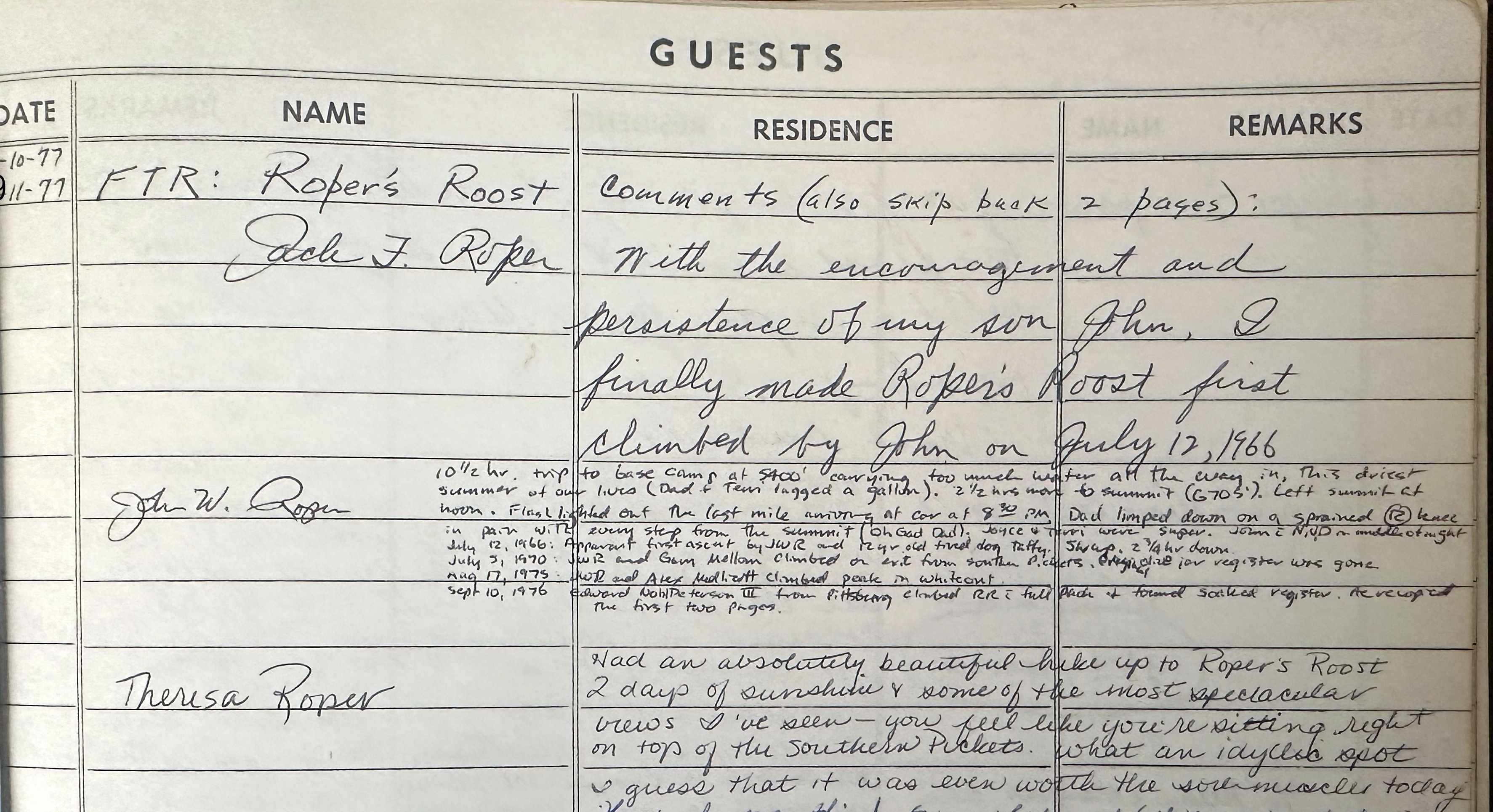
| Roost, The, (Ropers) (6705) | 1966 | 7/12/66 |
| Roost – winter (6705) FWA | 1981 | 1/4/81 |
| Ragged End/Cosho (8332) | 1970 | 6/6/70 |
| Rapid Peak (7259) | 1982 | 5/30/82 |
| Razors Edge (6000+) | 1983 | 9/29/83 |
| Redoubt Pinnacle, N (~8750) | 1985 | 7/4/85 |
| Redoubt Pinnacle, S (~8700) | 1985 | 7/4/85 |
| Repulse Peak (7923) NR | 1980 | 10/18/80 |
| Revelations Peak (6872) | 1978 | 7/30/78 |
| Rhino Butte/Borborygmi (6914) | 1978 | 10/15/78 |
| Rim Rock Mountain (7240+) | 1982 | 8/25/82 |
| Robinson Mtn (8726) Crusoe Couloir NR | 1985 | 6/16/85 |
| Rover Point (6505) | 1997 | 7/12/97 |
| Sacrum, The (7148) | 1981 | 8/15/81 |
| Saint, The (7185) | 1978 | 7/29/78 |
| Sam Hill (4846) | 1998 | 6/28/98 |
| Sasha Peak (6604) | 1995 | 7/23/95 |
| Seance Peak (7982) | 1986 | 6/21/86 |
| Senior Operator (6040+) | 1981 | 4/26/81 |
| Settler Peak (6800+/6944) | 1980 | 7/27/80 |
| Seven (7) Peak (8100+) | 1988 | 8/14/88 |
| Sho-ghud-ope (7145) | 1985 | 5/19/85 |
| Silhouette Peak (7274) | 1984 | 7/28/84 |
| Shadow Point, S (7040+) | 1984 | 7/28/84 |
| Shadow Point, N (6977) | 1984 | 7/28/84 |
| Sinner, The (7035) | 1978 | 7/30/78 |
| Sister Habiba (7160+) | 1982 | 8/26/82 |
| Sister Sarah (7000+) | 1982 | 8/26/82 |
| Sister Sue (6809) | 1982 | 8/26/82 |
| Snowball Peak (7920+) | 1987 | 8/8/87 |
| Snowflake (7760+) | 1987 | 8/8/87 |
| Solitude (8405) | 1980 | 7/5/80 |
| Spectre (7999-) | 1980 | 7/29/80 |
| Spirea Spire (~7100) | 1985 | 8/12/85 |
| Spocks Ear (6200+) | 1988 | 6/25/88 |
| Squatter Peak (6719/6680+) | 1980 | 7/27/80 |
| Starlet Peak (8040+) | 1986 | 6/21/86 |
| Steer Horn (7640+) | 1990 | 7/8/90 |
| Stinger Spire (7800+) | 1988 | 8/13/88 |
| Stone 8 E Pinnacle (7200) | 1988 | 8/7/88 |
| Stone 8 W Pinnacle (7200) | 1988 | 8/7/88 |
| Stonehenge 2 (7200+) | 1988 | 8/7/88 |
| Stonehenge 3 (7300+) | 1988 | 8/7/88 |
| Stonehenge 4 (7300+) | 1988 | 8/7/88 |
| Stonehenge 6(7382) | 1988 | 8/7/88 |
| Stonehenge 8 (7346) | 1988 | 8/7/88 |
| Straight Ridge (7780+) | 1991 | 6/19/91 |
| Styloid Peak (6972) | 1981 | 5/31/81 |
| Sumallo Peak, British Columbia (7700+) | 1988 | 8/18/88 |
| Supervisor, The | 1981 | 4/26/81 |
| Surveyors Knoll (6253) | 1983 | 7/24/83 |
| Tack, The (7400+) | 1973 | 8/12/73 |
| Taps Mountain (7087) | 1979 | 8/14/79 |
| Tara Peak (6723) | 1981 | 7/3/81 |
| Teddy Bear (5351) | 1988 | 6/21/88 |
| Thayers Nightmare (7997-) | 1980 | 7/29/80 |
| Thoracic Peak (7170) | 1972 | 7/30/72 |
| Three Wives Peak (7450) | 1980 | 10/10/80 |
| Thunder Peak (8800+) | 1972 | 7/2/79 |
| T’s on a Bull, W (8000+) | 1986 | 8/13/86 |
| Tombstone Peak (7895) | 1980 | 7/5/80 |
| Toto Peak (4960+) | 1995 | 10/15/95 |
| Tradition Peak (7747) NR | 1978 | 7/6/78 |
| Tragedy, Mount/Sable Ridge (7800+) | 1986 | 9/2/86 |
| Trap, The (6960+) | 1978 | 6/4/78 |
| Trappers Peak (5964/5966) FWA | 1977 | 1/23/77 |
| Tranquility Gendarme (7374) | 1978 | 7/4/78 |
| Turret, The/E Tine (~7600) | 1984 | 7/22/84 |
| Twin Needle, W (7936) NR | 1981 | 8/31/81 |
| Tzum Mountain (6803) | 1987 | 6/28/87 |
| Ugly Stepsister (6136) | 1992 | 5/25/92 |
| Ulalach Mountain (5040+) | 1999 | 6/10/99 |
| Unnamed Mtn (6438) | 1998 | 6/13/98 |
| Unspeakable (6482) | 1998 | 6/13/98 |
| V Peak (8000+) | 1981 | 8/17/81 |
| W of NW Mox (Small Mox) (8080+) | 1981 | 7/28/81 |
| Whale Peak (6559) | 1983 | 9/29/83 |
| Whiteout Peak (7649+) | 1992 | 8/3/92 |
| Wild Hair Crack/Himmelgeisterhorn | 1981 | 9/6/81 |
| Wireman | 1981 | 4/26/81 |
| Wish Mountain (7200+) | 1985 | 8/12/85 |
| Wyeth Not Peak (8080+) | 1990 | 8/15/90 |
| X Mountain (5965) | 1966 | 7/28/66 |
| Xor Peaks (~7300) | 1985 | 8/13/85 |
| Yellow Tower (8080+) | 1984 | 9/3/84 |
| Yes Yes Peak (7109) | 1985 | 8/12/85 |
| Zebra Spire (8000+) | 1981 | 9/17/81 |
First Ascent Chronolgy condensed
1963
NR 14Sep Big Devil Peak (7055) NW Ridge
1966
* 12Jul The/’Ropers Roost’(6705)
* 28Jul ‘X Mountain’ (5965)
* 28Jul ‘Arc de Triumph’ (6080+)
* 23Jul Damnation Peak (5635)
1967
* 26Aug ‘The Bat’ (6475)
* 27Aug ‘The Coccyx’ (7280+)
* 27Aug ‘Perdition Peak’ (7675)
1968
* 12Jun ‘Honeymoon Hump’ (7690)
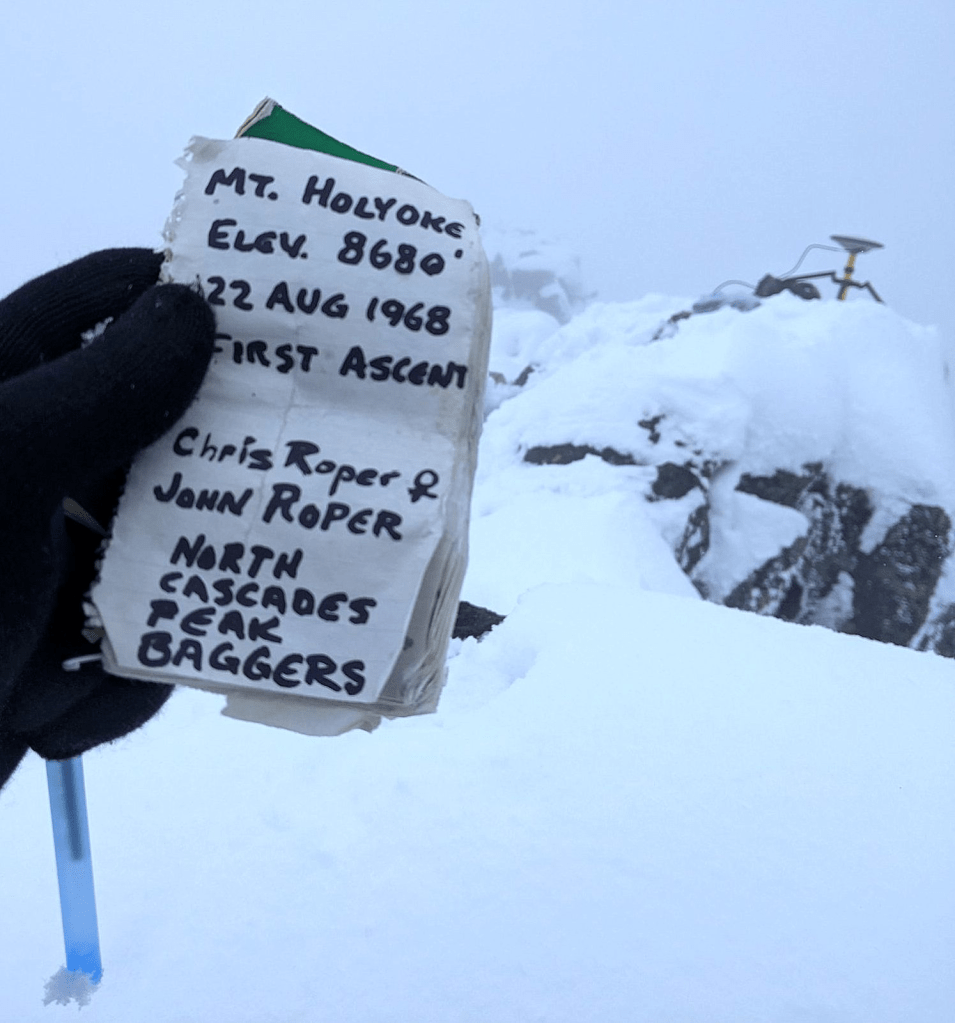
* 22Aug ‘Mt Holyoke’/Katsuk (8680+)
NR 22Aug “Panther Peak/Mesahchie (8795}
* 23Aug ‘Little J-Berg’/Arches’ (7945)
* 24Aug ‘Cub Peak’ (7985)
* 24Aug “Kitling Peak” (8003)
1969
* 14Jun ‘Baby Cheek’
1970
* 6Jun ‘Ragged End’/Cosho (8332)
* 7Jun ‘Gendarmes Pk’/Kimtah (8600+)
1971
* 18Sep ‘Newhalem Peaks’ (6920+)
1972
* 2Jul ‘Thunder Peak’ (8800+)
NR 2Jul Mount Logan via Banded Glacier
* 30Jul ‘Lumbar Peak’ (7040+)
* 30Jul ‘Thoracic Peak’ (7170)
* 30Jul ‘Cervical Peak’ (7360)
* 31Jul ‘In Spirit Peak’ (7480)
1973
* 7Jul ‘The Blip’ (7400+)
* 11Aug ‘The Tack’ (7400+)
* 12Aug ‘New Morning Peak’ (7230)
1974-75 No FAs
1976
* 8May ‘The Haystack’ (7139)
* 25Jul Mt Benzarino (7720+)
1977
FWA 23Jan Trappers Peak (5964)
*? 5Aug ‘Interloper’/”Berdeen” Peak (6400+)
1978
*? 9Apr ‘Nlaka-pamax’ (6607)
* 6May ‘Logger Butte’ (6080+)
* 4Jun ‘The Trap’ (6960+)
* 17Jun ‘Highest Hellion’ (6324)
* 17Jun ‘Hellion 3′ (6240+)
* 4Jul ‘Gendharma’ (7740+)
* 4Jul ‘Traquility Gendarme'(7374)
* 29Jul ‘The Saint’ (7185)
* 30Jul ‘The Sinner’ (7035)
* 30Jul ‘The Apostle’ (6910)
* 30Jul ‘The Epistle’ (6782)
* 30Jul ‘Revelations Peak’
* 26Sep Monument Peak (8592)
* 15Oct ‘Borborygmi’/’Rhino Butte'(6914)
1979
* 2Aug ‘Jagged I’ (7882)
* 11Aug ‘Mad Eagle Peak’ (8111)
* 12Aug ‘Moving Mtn’ (8080+)
*?13Aug ‘Cave Mountain’ (7456)
* 13Aug ‘Old Rust’ (7523)
* 14Aug ‘Taps Mountain’ (7087)
1980
* 1Jun ‘ExSpire’ (5999-)
* 5Jul ‘Tombstone’ (7895)
* 5Jul ‘Solitude’ (8405)
* 27Jul ‘Squatter’ (6719/6680+)
* 27Jul ‘Settler’ (6800+/6944)
* 29Jul ‘Iota’ (7680+/7800+)
* 29Jul ‘Thayers Nightmare’ (7997-)
* 29Jul ‘Apparition’ (7998-)
* 29Jul ‘Spectre’ (7999-)
* 31Jul ‘Fury Finger’ (8080+)
* 31Jul ‘Basenji Ear’ (7840+)
* 24Sep W Helen Butte (5499-)
* 10Oct ‘Three Wives’ (7450)
FWA 4Jan ‘R Roost’ (6705)
* 26Apr ‘The Supervisor’
* 26Apr ‘Wireman’
* 26Apr ‘Senior Operator’
* 26Apr ‘Machinist’
* 31May ‘Styloid Peak’ (6972)
* 31May ‘Distal Phalanx’ (7615)
* 3Jul ‘Tara Pk’ (6723)
* 11Jul ‘Dirk Peak’ (7640+)
* 27Jul ‘Devils Toothpick’ (7720+)
* 28Jul ‘W of NW Mox’ (8080+)
* 15Aug ‘The Sacrum’ (7148)
* 15Aug ‘Pancake Pinnacle’ (7080+)
* 23Aug ‘S Hoot Owl’ (7960+)
* 23Aug ‘N Hoot Owl’ (7920+)
NR 31Aug W Twin Needle (7936)
NR 6Sep ‘Wild Hair Crack’ on HGH
* 14Sep ‘Obsession Spire’ (7360+)
* 17Sep ‘Zebra Spire’ (8000+)
* 17Sep ‘V Peak’ (8000+)
* 25Oct ‘Ezekiel’ (7521)
* 30May ‘Blink Mtn’ (6766)
* 30May ‘“Rapid Peak” (7259)
* 19Jun ‘Fallen Angel’ (6840)
* 19Jun ‘Hellion 4′
* 19Jun ‘Hellion 5′
* 20Jun ‘Hunich Pipe’ (~6700)
* 17Jul The Horseman (~8100)
* 7Aug ‘W Nail’ (~8000)
* 7Aug ‘E Nail’ (~8000)
* 7Aug ‘W Horseshoe Pk’ (~8000)
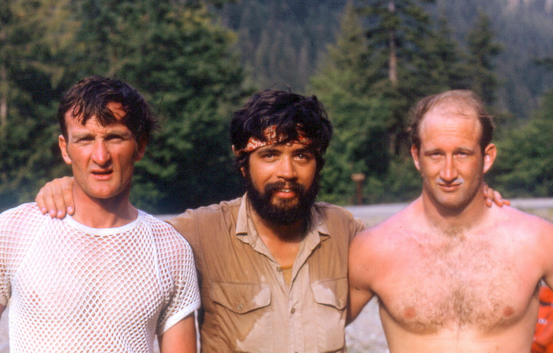
~*8Aug ‘Lick of Flame‘ by Silas Wild, Russ Kroeker
* 22Aug ‘Gramps Peak’ (6680+)
* 24Aug ‘Goose Step Pinnacle’ (7400+)
* 25Aug ‘Goat Hoof’ (7100)
* 25Aug ‘Primrose Peak’ (7160+)
* 25Aug ‘Rim Rock Peak’ (7240+)
* 25Aug ‘Flat Peak’/”Edgestone” (7100)
* 26Aug ‘Sister Sarah’ (7000+)
* 26Aug ‘Sister Habiba’ (7160+)
* 26Aug ‘Sister Sue’ (6809)
* 26Aug ‘Little Sister Marina’ (6785)
* 5Sep ‘Beheaded Dog Burying Bone’ (7035)
*19Sep ‘Pachyderm Peak’ (7310)
* 24Jul ‘Surveyors Knoll’ (6253)
* 24Jul ‘Mamook Mtn’ (6456)
* 7Aug ‘The Adolescent’/”Black Beard” (7241)
* 13Aug ‘The One-Eyed Bull’ (8120+)
*?14Aug ‘The Cheshire Cat’
* 25Aug ‘Ozymandias Peak’ (7647)
* 26Sep ‘Pato Peak’ (6800)
* 26Sep ‘Alrac Peak’ (6720+)
* 29Sep ‘Whale Peak’ (6559)
* 29Sep ‘Razors Edge’ (6000+)
1984
* 2Jun Majestic Mtn (7520+)
* 2Jun ‘Majestic 3′ (7440+)
* 16Jun ‘The Addict’ (~7300)
* 16Jun ‘North Benzarino’ (7720+)
* 22Jul ‘The Turret’/’Tine’ (~7600)
* 23Jul ‘Dumbo Peak’ (7520+)
* 28Jul ‘Daemon Peak’ (7514)
* 28Jul ‘Silhouette Peak’ (7274)
* 28Jul ‘S Shadow’ (7040+)
* 28Jul ‘N Shadow’ (6977)
* 12Aug ‘Obscure Peak’ (6980)
* 19Aug ‘Native Knoll’ (6439)
* 20Aug ‘Lonely Peak’ (6800+)
* 20Aug ‘Crackrap Pk’ (6720+)
* 25Aug ‘NW Cheval de Frise’ (~6300)
* 3Sep ‘Yellow Tower’ (8080+)
* 28Sep North “Big Bosom Butte” (6384)
* 29Sep South “Big Bosom Butte” FFA
1985
FWA 17Mar Jordan Peak (6397)
* 19May ‘Kaiwhat Peak’ (7100)
* 19May ‘Shoghudope’ (7145)
* 26May ‘Louie Louie’ (7782)
* 3Jul ‘Eagles Beak’ (8000+)
* 4Jul ‘N Redoubt Pinnacle’ (~8750)
* 4Jul ‘S Redoubt Pinnacle’ (~8700)
* 12Aug ‘Spirea Spire’ (~7100)
* 12Aug ‘Yes Pk’ (7109)
* 12Aug ‘Oui! Oui!’ (~7150)
* 12Aug ‘Wish Mtn’ (7200+)
* 13Aug ‘Alastor Mtn’ (7326)
* 13Aug ‘Xor’ (~7300)
* 13Aug ‘Cassiope Peak’ (7800+)
* 13Aug ‘Heather Ridge Peak’ (7928)
* 14Aug ‘Id Peak’ (7520+)
* 14Aug ‘Conglomerate Peak’ (~7700)
* 14Aug ‘Lyall Ridge Peak’ (~7777)
* 28Sep ‘Cube Rock’ (5840+)
1986
* 21Jun ‘Starlet Peak’ (8040+)
* 21Jun ‘Seance Peak’ (7982)
NR 22Jul “Ghost” (8000+)
* 23Jul ‘W Casper’ (7760+)
* 9Aug ‘Glissader Peak’ (7680+)
* 13Aug ‘W T’s on a Bull’ (8000+)
* 13Aug ‘Cocoon’ (8151)
* 14Aug ‘Neyah Point” (8100+)
* 14Aug ‘9 Peak’ (8100+)
* 31Aug ‘Dark Fin Tower’ (7400+)
* 31Aug ‘Anonymity Tower’ (8000+)
* 2 Sep ‘Mount Tragedy’/Sable Ridge (7800+)
1987
* 18Jun ‘Cloudcaplets’ 6062
* 27Jun ‘Baekos Peak’ (7529)
* 28Jun ‘Brown Mtn’ (6800+)
* 28Jun ‘Tzum’/’Greenback Mtn’ (6803)
* 29Jun ‘Little Skalabats Pk’ (6400+)
* 15Jul ‘Little Shull’ (7440+)
* 26Jul ‘Knuckle Knob’
* 8Aug ‘The Log’ (7120+)
* 8Aug ‘Snowflake’ (7760+)
* 8Aug ‘Snowball Peak’ (7920+)
1988
* 21Jun ‘Teddy Bear Peak’ (5351)
* 25Jun ‘Spock’s Ear’ (6200+)
* 6Aug ‘Clean Peak’ (6818)
* 6Aug ‘Bath Peak’ (6900+)
* 7Aug ‘Quiet Ridge I’ (7080+)
* 7Aug ‘Quiet HP II’ (7080+)
* 7Aug ‘Quiet III’ (6960+)
* 7Aug ‘Quiet IV’ (6960+)
* 7Aug ‘Quiet V’ (6840+)
* 7Aug ‘Quiet VI’ (6868)
* 7Aug ‘Stone 8′ W Pinn (7200)
* 7Aug ‘Stone 8′ E Pinn (7200)
~ 7Aug ‘Stonehenge 8′ (7346)
~ 7Aug ‘Stonehenge 6′ (7382)
~ 7Aug ‘Stonehenge 4′ (7300+)
~ 7Aug ‘Stonehenge 3′ (7300+)
~ 7Aug ‘Stonehenge 2′ (7200+)
* 8Aug ‘8/8/88 Peak’ (7509)
* 13Aug ‘Lykit Spire’ (7800+)*
* 13Aug ’Leavit Spire’ (7800-)
* 13Aug ‘Hammerhead Peak’ (7900+)*
* 13Aug ‘Stinger Spire’ (7800+)
* 13Aug ‘The Bishop’ (7300+)
* 13Aug ‘The Hive’ (7600+)
* 14Aug ‘8 Peak’ (8000+)
* 14Aug ‘7 Peak’ (8100+)
* 14Aug ‘Pumice Peak’ (7400+)
* 14Aug ‘Bolt Peak’ (6613)
* 18Aug ‘Sumallo Peak’ BC (7700+)
1989
* 4May McKay Ridge Peak (7000+39)
* 12Aug ‘Butterfly Wing’ (7700+99)
* 7Oct ‘Doe $ Mtn’ (7840+)
FWA 30Dec Luna Peak (8311)
1990
* 8Jul ‘Steer Horn’ (7640+)
* 13Aug ‘SE Memaloose’ (7265)
* 13Aug ‘M Memaloose Peak’ (7360+)
* 14Aug Goode Ridge (7680+)
* 15Aug ‘Fractured Wyeth’ (8040+)
* 15Aug ‘Wyeth Not Peak’ (8080+)
* 15Aug ‘Hyeth Wyeth’ (8120+)
* 15Aug ‘Golden Peak’ (7880+)
1991
FWA 4Feb Little Chief Peak (5416)
* 21Apr ‘Bold Peak’ (5040+)
* 19Jun Straight Ridge (7780+)
* 30Aug ‘Grand Old Flagg’ (7422)
* 30Aug ‘Flagg Mtn’ (7360+)
* 2Sep ‘Cool Mtn’ (7738)
1992
*25May ‘Ugly Stepsister’ (6136)
*25May ‘Middle Sister’ (6280+)
* 7Jun ‘Buk-Buk Spires’ (5500)
* 21Jun ‘Phantom Pass Peak’ (4754)
* 21Jun ‘Blister Mountain’ (5447)
* 1Aug ‘Pika (Hyrax) Peak’ (8120+)
* 2Aug ‘Big Snail’ (7360+)
* 3Aug ‘Whiteout Peak’ (7649+)
* 4Aug ‘Far Side Peak’ (6840+)
* 6Aug Bearcat Ridge Peak (8035)
* 14Aug ‘Cousins Peak’ (6720+)
* 29Aug ‘Kok-shut Peak'(5080+)
* 30Aug ‘Snowslide Peak'(5000+)
* 30Aug ‘Headwall Peak’ (4988)
* 30Aug ‘Anticlimax Point’ (5080+)
1993-94
No FAs
1995
* 23Jul ‘Sasha Peak’ (6604)
* 22Aug ‘Nap Knoll’ (5423)
* 22Aug ‘Mt Morpheus’ ( 5432)
* 15Oct ‘Toto/Pugsley Peak’ (4960+)
* 15Oct ‘Mile High Mtn’ (5280+)
1996
* 15Aug ‘Pasture Peak’ (5240)
1997
* 12Jul ‘Rover Point’ (6505)
1998
* 4May ‘Beefhide Butte’ (8030)
*13Jun ‘Nameless Mtn’ (6616)
* 13Jun ‘Unspeakable’ (6482)
* 13Jun ‘Montana Sin Nombre’ (6688)
* 13Jun ‘Unnamed Mtn’ (6438)
* 14Jun ‘Little Sky’ (5951)
* 28Jun ‘Sam Hill’ (4846)
1999
*10Jun ‘Ulalach (Onion) Mtn’ (5040+)
*10Jun ‘Aho Mtn’ (5080+)
*10Jun ‘Cedar Basin Butte’ (5400+)
* 31Jul ‘Panther Tail’ (6865)
* 16Sep ‘Out Box’ (5600+)
2000
*10Apr ‘Choker Mtn’ (4672)
*10Apr ‘Lumbermill Mtn’ (4750)
*12May ‘Dead Duck Mtn’ (4642)
2001
No FAs
2002
* 20Jun ‘Cadastral Point’ (4811)
* 20Jun ‘Arctic Ridge’ (5941)
* 20Jun ‘Mystic Mountain’ (6574)
*16Oct ‘Elementary Peak’ (5960+)
2003
No FAs
2004
*13Jue ‘Gambol Knob’ (2740)
2005
*6Mar ‘Nine Lives’ (5110)
*30Oct ‘Errant Peak’ (4640+)
2006
*9Jul ‘Black Widow’ (7240+)
*22Jul ‘Charge Nurse’ (5200+)
2007
FWA 31Dec ‘The Cork’ (2002)
2008
*28Jul ‘Declaration Peak’ (5560+) (South Cascades)
First Ascent Cell Map of North Cascades National Park & National Recreation Areas
Or First Ascent Cell Map of North Cascades National Park & National Recreation Areas
Click on image to enlarge.
Thanks to topographer and prominencian Eric Noel
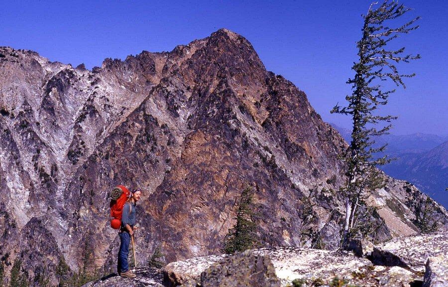
Most of the following route descriptions are brief with map links, posted “for the record” with photos. The joy was in exploration and discovery.
A map and altimeter were the tools of navigation. A compass was rarely used. Dead-reckoning helped. A GPS was never owned or used since most of these climbs preceded those. No pitons. No pickets.
All peaks were climbed in old-school heavy Vibram-soled mountain boots. Never in sticky-rubber rock shoes. Silas Wild used to refer to us as “advanced backpackers.”

Enlarge Ridges run

1963
Big Devil Peak
7055’/P1655 per map. Lidar 7060’/P1652.
New route September 14, 1963, 43 years after 1920 first ascent
Thanks to Jay Haggerty

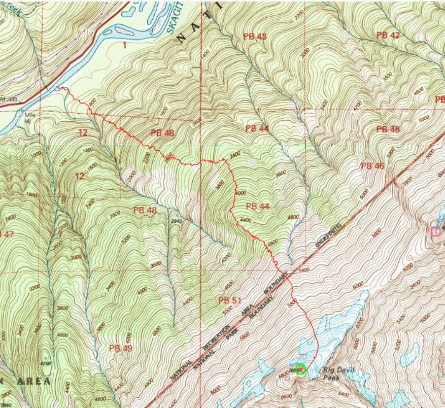
About 4.5 miles from Newhalem, we slid Jay’s home-made one-man duck boat down the bank to the Skagit River just upstream from Sky Creek and crossed the river using a rope to pull it back for the second to paddle over. CAG took the words right out of my mouth. “Make a punishing ascent through brush, moderately open timber, then meadows, snowfields, and a short dirt and rock scramble keeping on the E side of a N flowing creek” featuring an impressive waterfall.
The summit had a cairn and evidence of a USGS visit presumably by helicopter as they were flying from peak to peak surveying for the 1953 15-minute Marblemount quad map. On a repeat climb from the south in 1978 with John and Sue Burroughs we camped atop and discovered a half-buried rusted pie tin that was inscribed (in 1920!) with small dents spelling out..
“9/6/20
S. Dimock
B. Ellis
H. Kerr”
On our descent, Jay and I enjoyed a sitting glissade down a skinny snow finger which took us too far right/east forcing a thrash down unpleasant terrain ending farther upstream than our approach route. We hit the Skagit River in the September darkness to the tune of my parent’s honking car and flashing lights on the opposite bank which helped us navigate to the duck boat to row back over Skagit River and return to civilization. Full day. After telling Fred this story, he records it as “Time: 2 days round trip.”
1966
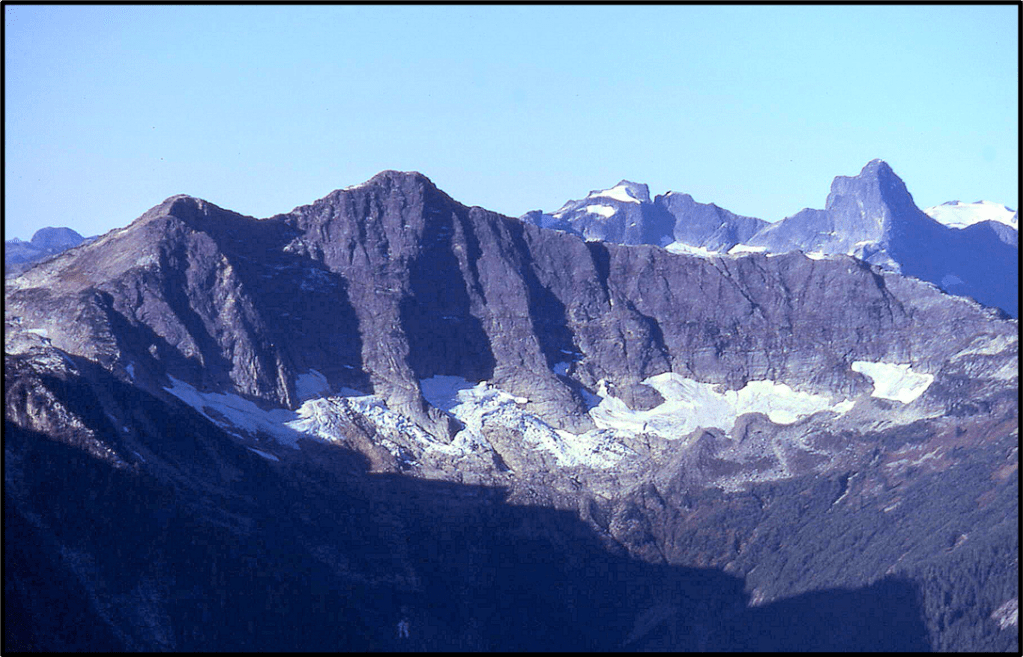
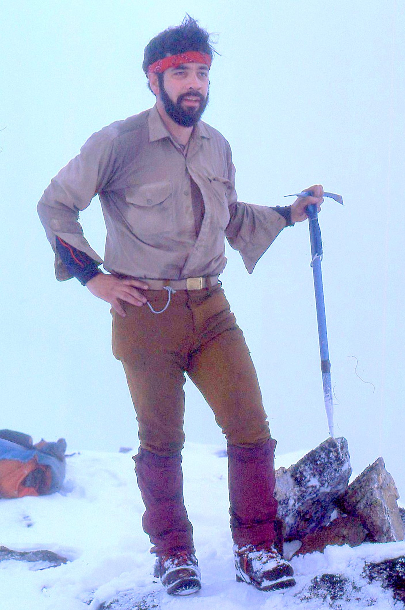
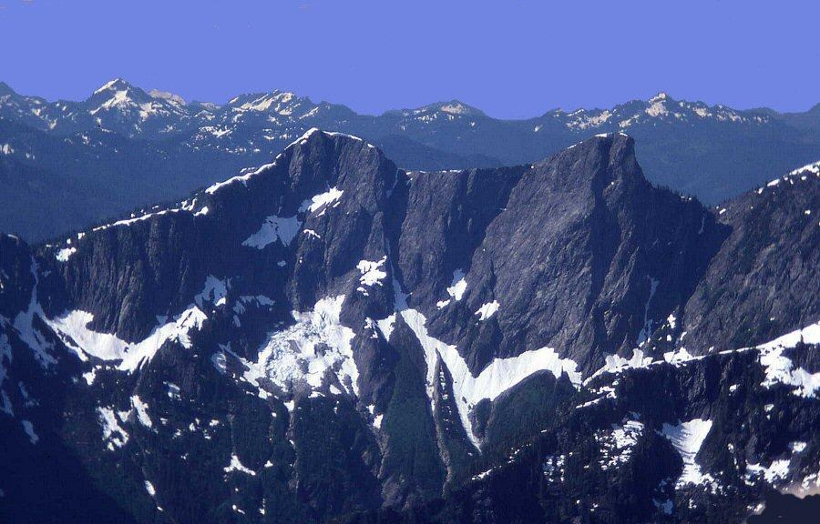
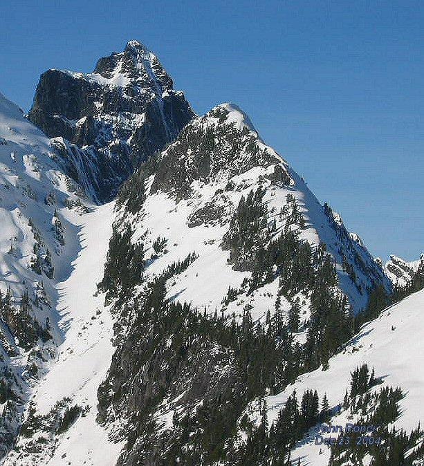
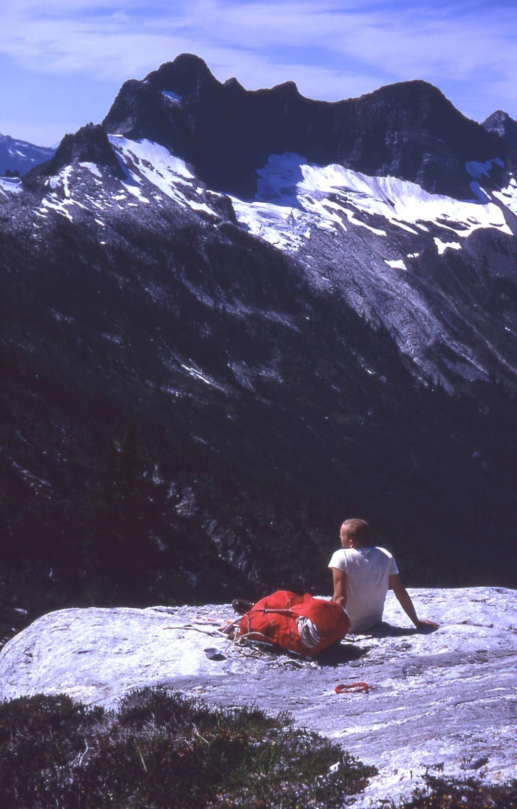
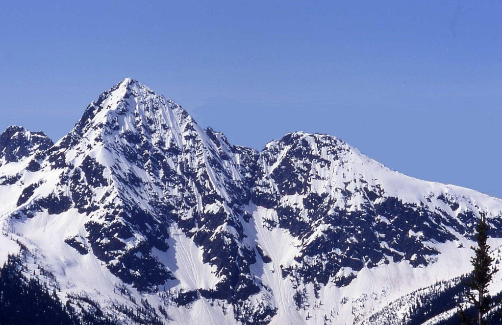
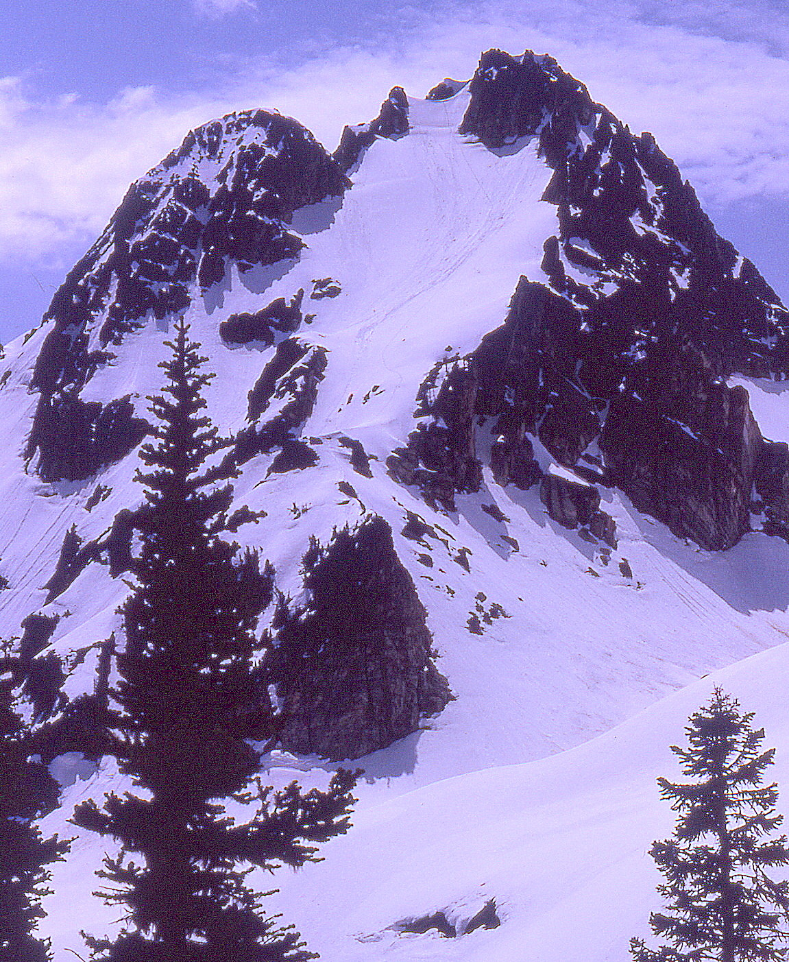
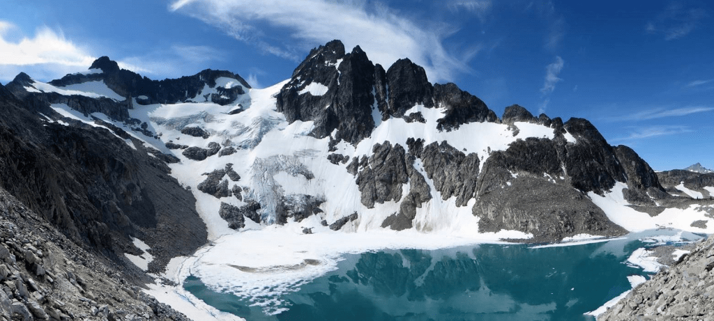
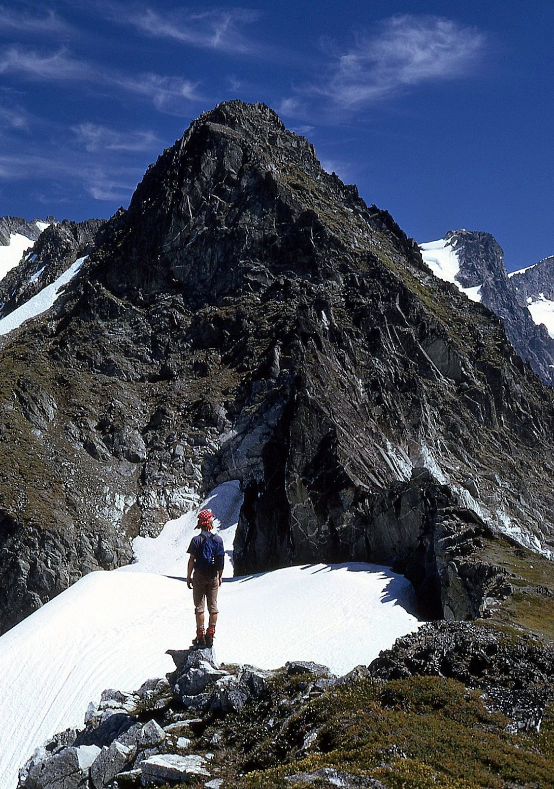
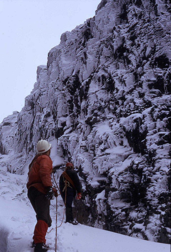
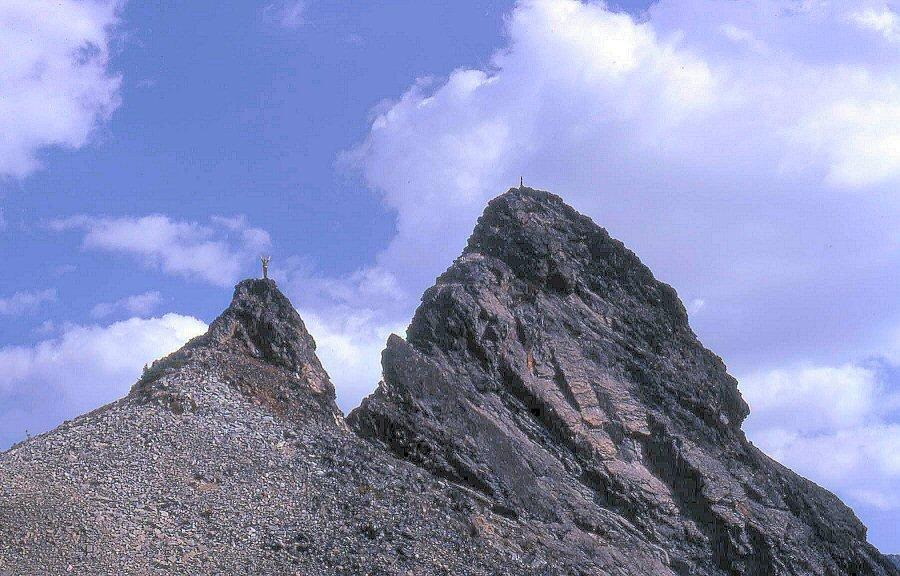
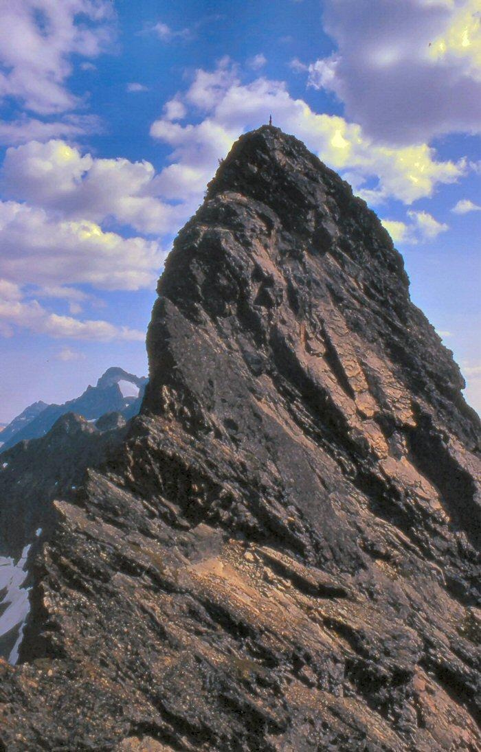
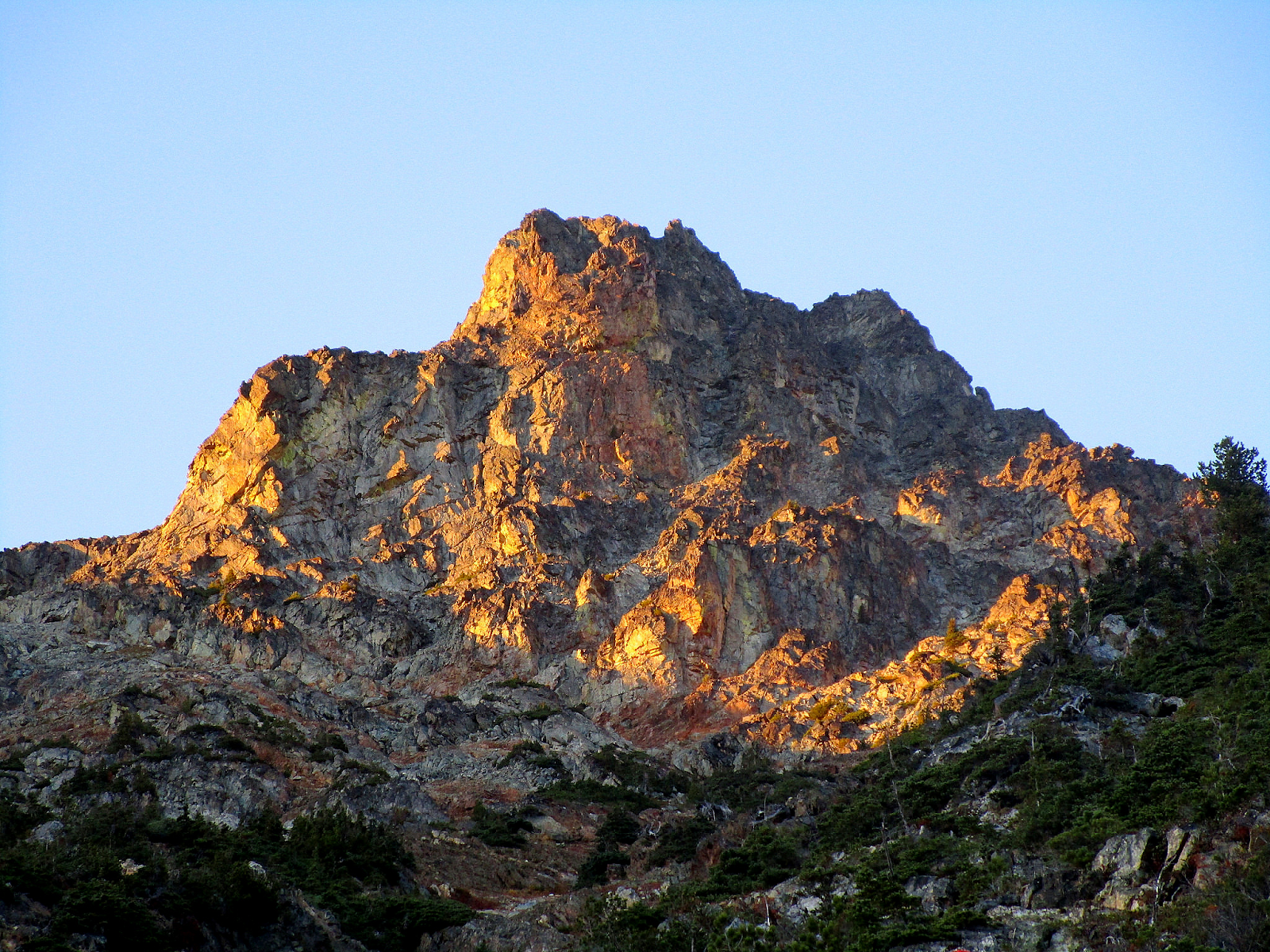
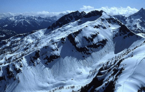
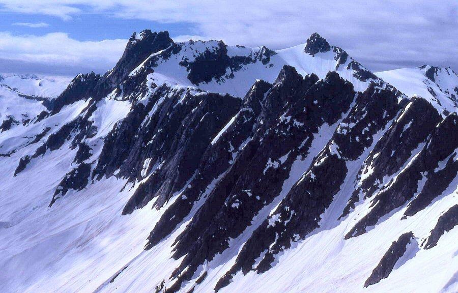
‘THE ROOST‘
6705 Feet on map / Prominence 865clean-885mean. Lidar: 6708′ / P932.
USGS Mount Triumph 7.5′
FA July 12, 1966
Written 1985 with updates
Maps and links at LoJ and PB. CAG+
(https://listsofjohn.com/peak/49800) and (https://peakbagger.com/peak.aspx?pid=25993)
Party: John Roper and Taffy
My First First Ascent

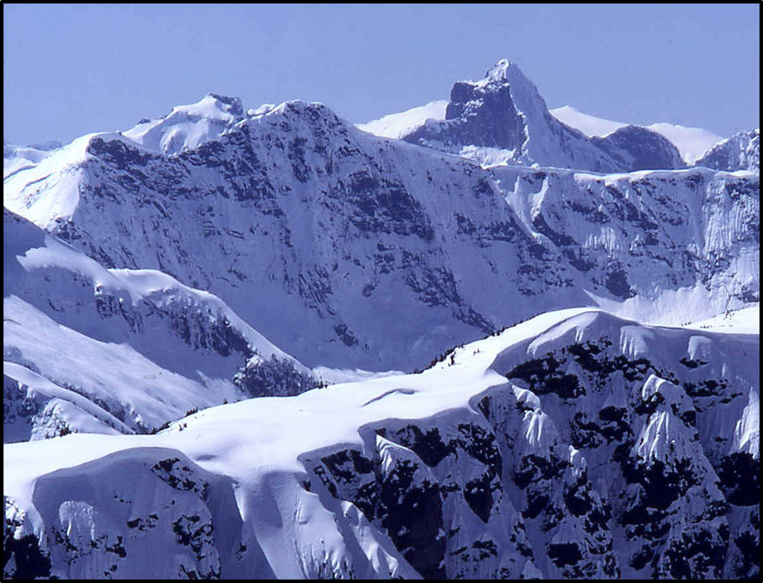
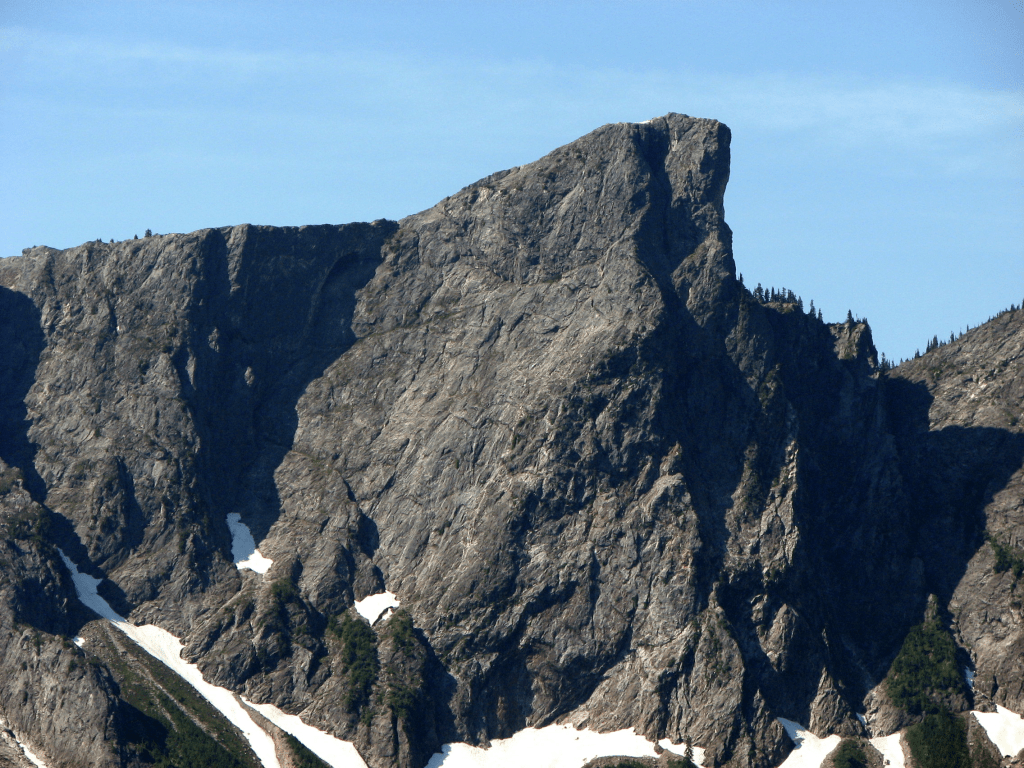
Similar view to photo above from a plane, looking up the north ridge, taken March 1, 2006 by John Scurlock
Jay Creek left, Goodell Creek right. Enlarge Winter Roost John Scurlock’s photo
My X-Y conceptual beginning happened sometime in mid-April 1943 in Newhalem, Washington, a small, neat, company town on the right bank of the Skagit River in Whatcom County, the end of the road until 1952, and now the very heart of what became the North Cascades National Park in 1968.
The rushing, powerful, liquid sound of the Skagit is the white noise of my id. The first two cells of my being collided and fused with that river’s resonance in the background, and I wonder if I still have a hard time distinguishing the sound of the Skagit from the sound of the first nine months of sloshing in amniotic fluid.
The Skagit flow is still a sound that rushes in the recesses of my brain, fueling, I’m sure, the pleasant persuasions of the id, “that part of the psyche which is regarded as the reservoir of the instinctual drives and the source of psychic energy.”
But climbing was not the passion in the 1940s and ‘50s when I was growing up in Newhalem, as it is now.
Those bitten by the “First Ascent bug” remember the ones they have made. R Roost was “My First Ever First Ascent,” and quite a big deal to me then at the age of 22 in 1966. In the scheme of things being done now in the North Cascades, and especially the world, this was a minor accomplishment, but it made me feel good in 1966, and still does. If I do have the FA here, it was because others walking by this peak before me, bent on the Pickets, slid under this top.
On July 12, 1966, I was home alone in Newhalem at the new house my mom and dad had moved into in 1961 after I graduated from Concrete High School and left for college. They eventually retired from this house in 1983, idyllically located right on the Skagit River across from Newhalem Creek.
I was taking a summer off between my second and third year of medical school at the UW in ‘66, recovering from a wicked year. This was the first summer I’d rested from studies since I was a sophomore at Concrete High in 1959.
My folks and sister Maurine were away on a dad-driven “education vacation” by car from Newhalem to back east to evaluate the Seven Sisters colleges as possible places for Maurine to attend. Two days before this Roost trip, I’d climbed Sahale Peak with three of my medical school classmates in marginal conditions.
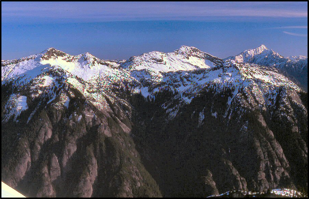
This July 12th day, 1966, I was delighted to awake to a perfect morning. I knew I wanted to do the peak along the high ridge north of Newhalem, between Ross Mountain (local term for Mount Ross on the maps) and the Southern Pickets. My goal was a 6705-foot summit at a wonderful location above the Skagit River, and recognizable far down the valley from Highway 20, first at a point between Marblemount and Rockport at Corkindale Creek, then again at about Diobsud Creek, and finally in full view as the corner is turned into Newhalem, upriver from Thornton Creek.
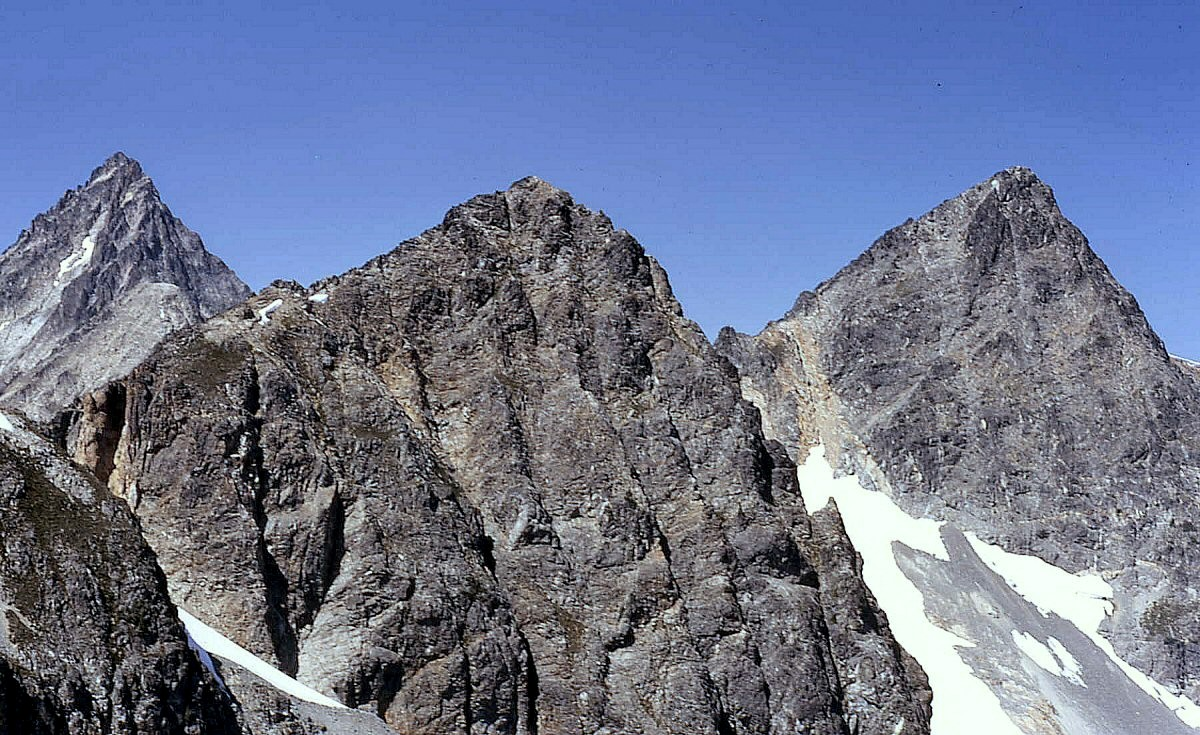
The Roost is a muscular, rocky, cliffy summit on the ridge that erupts straight out of Newhalem first dividing Goodell Creek from Gorge Creek, culminating at Mount Ross, then calming down a bit to a point above Jay and Stetattle Creeks. Its prominence on the “new” 1989 USGS Mount Triumph map is 865 feet (6705 minus 5840- saddle with ‘Glee Peak’ for the clean prominence). If you want to max the prominence, add 40′ to bring it up to P905 feet. The NE Jay rib rises from 5200′ to 6705′ for a 1500-foot yet-unmet challenge [when written in 1985–later climbed by Eric Wehrly and Rolf Larson on 9/13/2009]. The SE summit has a classic rib-line technical route of 1350′ vertical feet.
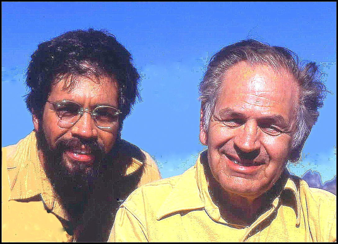
The softer southern subsummit of RRoost reminds me of Virginia, my mother, and the 6705-foot top makes me think of Jack, my dad. Jack began work with Seattle City Light in 1940 and moved to Newhalem in 1942 as a laborer (“oiler”) with the hydroelectric project on the Skagit River. A stickler for detail and a relentless student, questioner, and gatherer of information, he moved on up the civil service ladder on exams to become the first supervisor of Ross Dam and Powerhouse in 1951, and eventually managed all of the Skagit City Light Projects: Ross, Gorge in Newhalem (for 25 years), then finished his career at the Diablo plant where he re-tuned that project before retiring in 1983.
Mom was the “camp nurse” for the Skagit project from 1942 on, having received her R.N. degree at the UW in 1937. She was the primary-care provider in the Seattle City Light company town of Newhalem for 41 years (the nearest doctor being 35 miles away), administering childhood immunizations, attending the sick, delivering surprise babies, and triaging and stabilizing industrial, motor-vehicle, and wilderness accidents. City Light initially paid her a whopping, embarrassing $1 a day for her constant 24-hour on-call schedule. In 1983 my folks retired to Somerset in Bellevue. Jack and Virginia and their kids logged in a total to 113-years of life at the base of this peak.
When I started for RRoost in 1966 I had the first part of this trip wired, built on knowledge from previous forays up Goodell Creek, first with my dad, then various friends.
In 1964, cousins Tex and Monte Steere and I had actually set our sights on this very peak, only to discover when we climbed out of Goodell Creek to arrive at a spot on its north ridge above Jay and Stetattle Creeks that the goal we were shooting for was farther off to the north, Peak 7200+ (on the old map) “High Ross” (later ‘Glee Peak’—see above) the highest peak on Ross Mountain ridge. So instead of turning south to do the Roost, we turned north to do “Glee” (the way you feel when you get there). This name honors Glee Davis, son of Lucinda Davis who ran a road house near Diablo at the turn of the last century, and namesake of Davis Peak.
This 1966 adventure was my first “solo climb,” though it really wasn’t truly solo, since our faithful family dog, Taffy, got “talked” into coming along. She was a wonderful hound mix, a solid, shiny, taffy-brown color in her youth when we got her from the pound in 1954. But by 1966 on this climb, her muzzle was grizzled at the age of 12. As a second-year UW medical student practicing my stethoscope skills in 1966, I had diagnosed Taffy with a nasty grade IV/VI mitral-valve regurgitation murmur.
When she was a youngster, Taffy was a smart and powerful little dog with a beagle-like body and a face of content. I still have a clear image of her when our family was hiking the primitive trail up Newhalem Creek. Taffy ran ahead of us, checking things out, as young dogs do, and at one point when we were confronted by a man-high root end of a toppled hemlock blocking the trail we watched in admiration as she hesitated just a hitch, cocked, then in one swift leap jumped up to the top rim of the root, grabbed the edge with her forefeet, and zipped over.
But on this trip to the Roost, at the dog age of 12, the human age equivalent of (x 7 =) 84, she was satisfied to follow along on my heels.
Taffy and I snaked our way through the alders sprouting on the abandoned logging road up Goodell Creek, and since my dad and I had scouted this route out a few years before on a feeble effort to go into the Pickets in 1963, I knew all the tricky turns at the forks in the trail.
From some old notes I see we drove 1.3 miles up the Goodell Creek Road from Newhalem in 10 minutes and parked. It took another 15 minutes (0.7 miles) to hike to what is now called “Straight Shot Creek” (flowing down a very interesting fault-line which slices from Goodell to Jay Creek—see satellite image). This was the first stream to totally obliterate the old logging road.
About 4 miles from the car we went over another major stream, then straight up hill, calling the watercourse “Over-and-Up Creek.” (at crosshairs). Two years before, my cousins Tex and Monte, and I were surprised to chance upon an obscure trail in the woods here, 30-vertical feet above the end of the old road bed. This made rapid work of the initial elevation gain. The then “new” 1961 Climbers Guide described this approach and talked of locating this path at a tall spar tree, a landmark that we could not identify in 1966 (or 1964).
There were a couple of curious little humps, followed by little dales at 3100 and 3200 feet along this approach ridge where the path finally totally petered out in 1966 (flaggers have since criminalized the route all the way to Terror Basin).
From the 3200-foot hump, Taffy and I bore right towards the creek around a bluff shortly ahead, but generally headed straight up, reaching a curious talus tongue licking down into the old growth at 5200 feet, 300 feet below the usual 5500-foot tree line.
I wanted a picture of Taffy here but whenever I positioned her, she seemed intent to follow me back to where I wanted to take the picture from, until I finally figured out that if I left some food for her, she’d stay and eat. So discovering this, after placing the bait, while she nibbled, I moved uphill and shot. We climbed on, with tantalizing peeks through the trees over to The Stump (Pinnacle Peak on the map), and finally topped out of the trees to scramble on over delightful glacier-polished gneiss, dotted with heather patches and alpine gardens to eventually reach the ridge crest overlooking Jay Creek.
As we rose above timberline, Triumph and then Despair poked up, then a view across to Trappers Peak, X Mtn, and the original Damnation, and shortly I was able to look over to Big Devil and down the Skagit Valley. Soon the rock Stump popped up again, then the Southern Pickets. These mountains were already becoming familiar friends to me. It took us 5 hours to make the climb (including driving) from Newhalem to the summit.
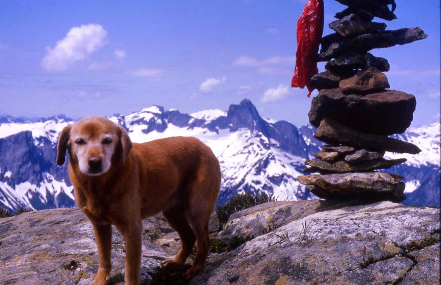
Finally atop the 6705-foot peak, I did the food positioning trick with Taffy several times to get her in the panorama as I shot around the horn. High Ross (TMJ Peak — Glee Peak) to the right of the Pickets, then Elephant Butte, then Davis, then the Backyard and down to the rather insignificant looking Ross Mtn. I held out my dad’s Argus C-3 camera at arms-length and fired a shot of myself with the Pickets in the back and a steep shot down into Jay Creek before heading down. leaving behind my name and Taffy’s, and date in a skinny glass olive jar.
The north ridge of the Roost still had a rim of snow which made for a rapid descent. The east face from here looks to be a good challenge, and has not yet been tried, even as I review this in 2006 (see above for 2009 climb).
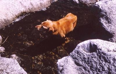
I used an old canvas fishing sack of my dad’s as my pack. Taffy and I loped down the hillside in quick fashion making the return to the car in 2 hours 45 minutes. Near the car a side channel from a little creek had formed a nice cooling pool in the Skagit gneiss. Taffy was so whooped, hot, and foot-weary that she walked right into the middle of it and lay down with only her head sticking up.
Taffy is emblazed in the climbing history of the North Cascades as she became the first and only dog that Fred Beckey ever gave First Ascent credit to in any of his Cascade Alpine Guides recording here, “First ascent by John and Taffy Roper on July 12, 1966.”
That’s the earliest story of R Roost. I’ve returned to climb it six more times.
July 6, 1970. Gary Mellom and I came back here four years after that first 1966 climb on our exit from the Southern Pickets. We were disappointed to find that the 1966 register had disappeared. We wondered if it had been discovered by geologists who helicoptered through the North Cascades in 1966-67 doing a rock inventory for a report to Congress to make sure the US was not overlooking any great mineral claims before turning this vast area into a National Park in 1968.
August 17, 1975. I returned again with Alex Medlicott in a whiteout and continued on a traverse over to Ross Mountain (while our fathers and friends returned home from high camp).
September 11, 1977. Climbed this again with my dad, Jack, Terri, and Joyce Hagan, so some more Ropers could say they’d climbed Ropers Roost. It was on this descent that my exhausted father (age 62 then) announced that this would be his “Last Mountain.” Although he “climbed” one summit with me every year since (until 2005) “just to stay in shape” (as he would say), this actually was his last good peak. A part of him made it to the top again in 2009.
January 4, 1981. Russ Kroeker and I made the first winter ascent of this peak on January 4, 1981. If I’m not mistaken, this is the first peak in Washington where the first ascent and first winter ascent were made by the same person.
September 6, 1993. As of review in 2006, my final climb to date on this peak was 9/6/93 with my Group Health Alpine Society (GHAS) doc buddies (David Stonington, Charlie Janeway, Ted Hegg, Howard Putter, Don Avriett, and Marshall Eaton) on my 6th ascent of this peak.
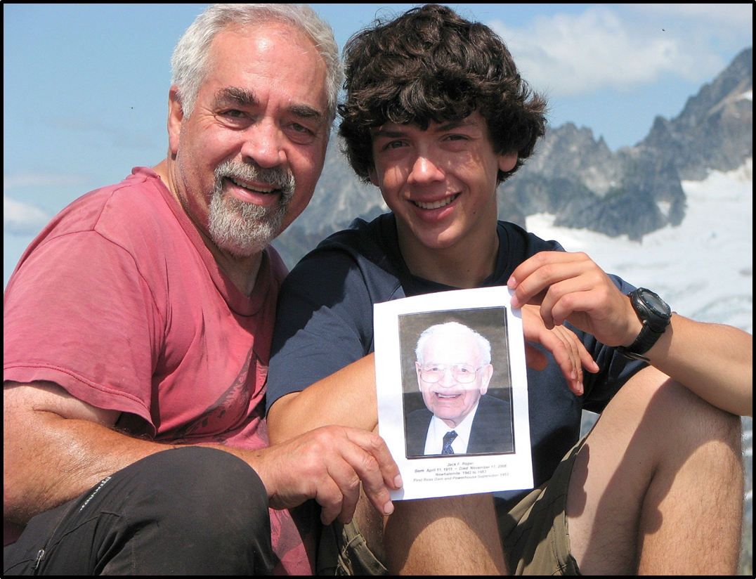
July 26, 2009. This was my last climb of Jack Ropers Roost at age 65 in 2009 with son Aaron age 15, Dave Stonington, and Dad Jack in spirit . We left Jack’s ashes on top and at his tombstone, just down the north ridge.
Song of the River
The snow melts on the mountain and the water runs down to the spring,
And the spring in a turbulent fountain, with a song of youth to sing
Runs down to the riotous river and the river flows to the sea,
And the water again goes back in rain to the hills where it used to be.
I wonder if life’s deep mystery isn’t much like the rain and snow
Returning through all eternity to the places it used to know
For life was born on the lofty heights and flows in a laughing stream
To the river below whose onward flow ends in a peaceful dream.
And so at last, when our life has passed and the river has run its course,
It again goes back o’er the selfsame track, to the mountain which was its source
So why prize life or why fear death, or dread what is to be;
The river ran its allotted span till it reached the silent sea.
Then the water harked back to the mountaintop, to begin its course once more
So we shall run the course begun till we reach the silent shore
Then revisit earth in a pure rebirth from the heart of the virgin snow.
So don’t ask why we live or die or whither or when we go
Or wonder about the mysteries, that only God may know
William Randolph Hearst Sr. February 25, 1941
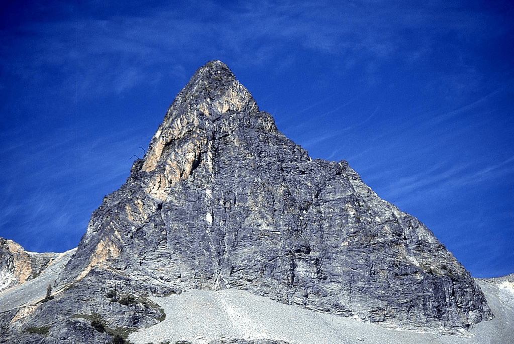
‘X MOUNTAIN’
USGS Mount Triumph
5960+ on 7.5′ map/P600 mean on map
FA July 28, 1966
Thanks to Bill Chase and Taffy Roper-dog
Map and links at LoJ and PB. CAG-.
‘X Mtn’ was originally called ‘Cross-Dike Peak’ by our FA party on July 28, 1966 for the intersecting white quartz veins in the summit rock. On the 15-minute 1953 USGS Marblemount quad which is what we were carrying in 1966, Trappers Peak was given the elevation of 5964’ and ‘X Mtn’ was 5965’ (one foot higher). When the 7.5-minute USGS Mount Triumph quad came out in 1989 the waters were muddied making Trappers 5966’, stealing the clean prominence from ‘X’ at 5960+, unless the mean prominence off 5980mn is used.
After climbing over Trappers Peak, Bill, Taffy and I continued out the NE ridge down one steepish spot to get to ‘X.’
‘Arc de Triumph’
USGS Mount Triumph
6125’ on map / P265mean
FA July 28, 1966
Thanks to Bill Chase and Taffy
Map with peak at crosshairs
Bill, Taffy, and I continued on our counter-clockwise traverse from Trappers Peak over ‘X Mountain’ on to this summit that rises above “Triumph Col” leading to the east side of Mount Triumph. No difficulties. We returned by dropping down to Lower Thornton Lake and walked its shore left. At one steep spot where a cliff dropped right into the lake, I’d gone ahead, and while Bill was working his way up and around it, I called to Taffy. She took a look at Bill’s route and decided it would be easier to jump in the lake and paddle around to my position. She beat Bill there and rewarded his arrival with a shake of Thornton’s waters. Back at the Thornton outlet, this peak looked like a half respectable little rock pyramid.
1967
DAMNATION PEAK
5635’ / P735mn. Lidar 5638′ / P787
USGS Damnation Peak
Nepa or ?FA July 23, 1967
Solo
We came in over Oakes Peak to camp at Triumph Lake where the fishing was not great. On our hike out on July 23, 1967, I headed off to scramble the 5635’ map-named summit, Damnation Peak, up its NW side while Jim and Lloyd fished the Damnation Potholes. I was surprised to find no evidence of a previous ascent here, not even the expected wood and wire of the helicoptering USGS, but this summit is not remote and may well have been previously climbed.

‘THE BAT’
6475’ map / P835, Lidar 6487’/P866
USGS Eldorado Peak
Map and links at LoJ and PB. CAG+
FA August 26, 1967
Thanks to Phil Dahl
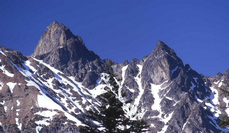
In 1967 a decent logging road extended far up Newhalem Creek to 2400- almost to the stream draining Stout Lake 5200+. Phil and I drove to its end in his black VW bug. We made good time to Stout Lake pulling numerous orange plastic-litter route flags along the way. After catching a couple of dinner fish in Stout Lake, we climbed south up and over a ridge and down the somewhat tricky other side eventually making it to a small lake we called ‘Purgatory Pond’ 5400’. We dropped packs here to camp on our return. Our main goal for the day was ‘The Bat’ which we climbed by running the ridge in the photo below from left to right over The Bat’s E Wing then the two Bat ears to the W Wing returning over the small glacier at the base of the peak.

‘THE COCCYX’
7280+ / P400clean-P440mean. Lidar: 7284′ / P414
USGS Eldorado Peak
FA August 27, 1967
Thanks to Phil Dahl
Map and links at LoJ and PB CAG+
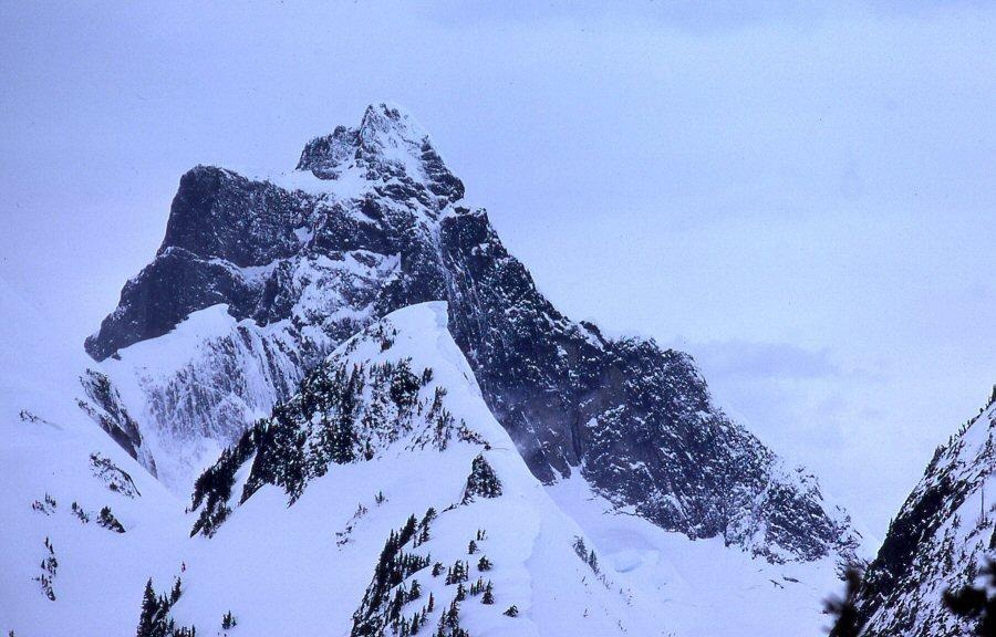
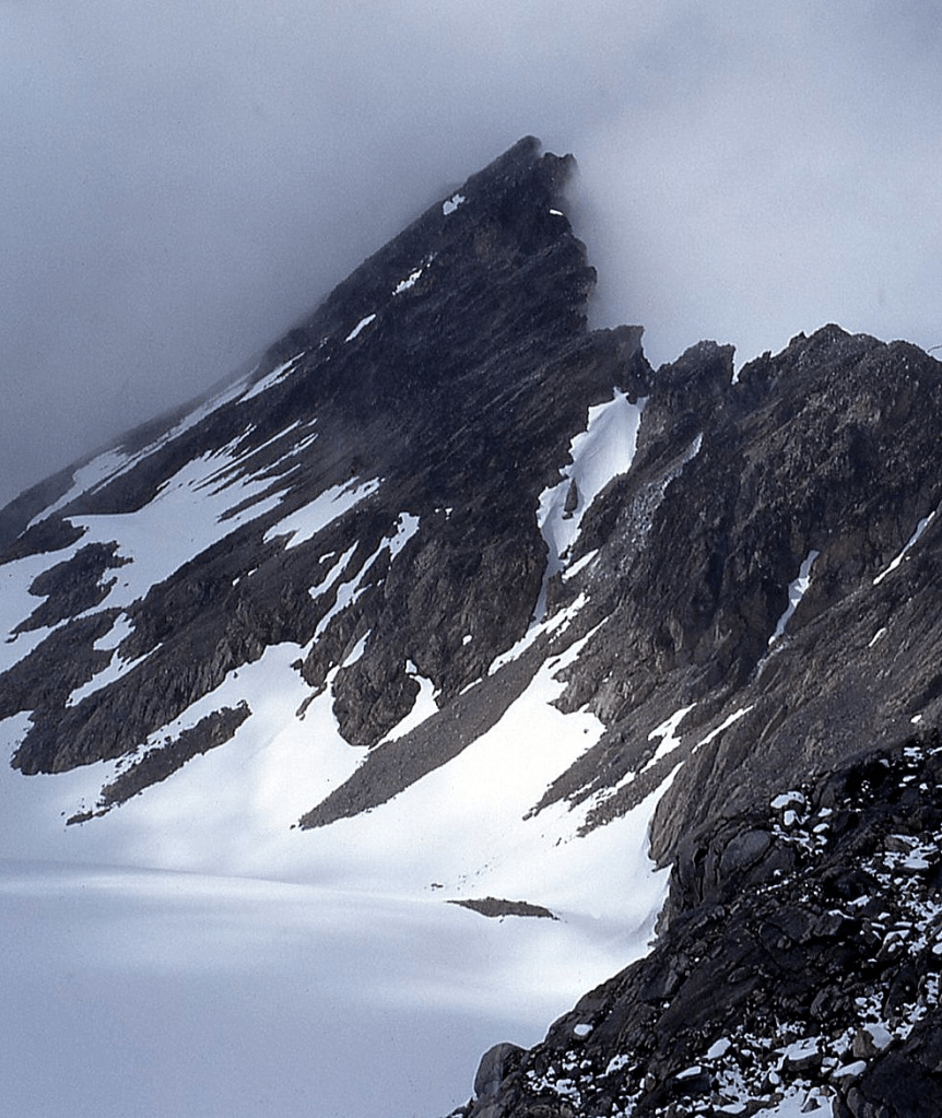
‘PERDITION PEAK’
7675′ map / P615mn. Lidar: 7678′ / P606.
USGS Eldorado Peak
FA August 27, 1967
Solo
Map and links at LoJ and PB CAG+
This is the highest peak on ‘Backbone Ridge.’
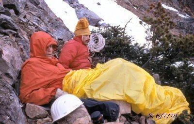
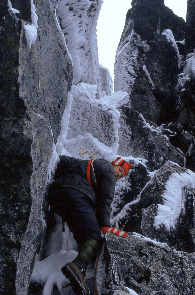
First ascent was via the class 4 west/left ridge crest on photo below via a fun rock weave. Phil Dahl waited at the In Spirit/Perdition notch on left. We retraced our route back to our packs at Purgatory Pond and exited past Stout Lake where Phil became lightheaded with suspected hypoglycemia so I loaded his pack atop mine. After a few hundred vertical as darkness fell, I took a 10-foot tumble over a small hidden cliff where Phil volunteered to take his pack back. Nearing exhaustion, I lobbied for a stop and camp at a flattish spot on the hillside. Phil had a job he had to get to at Boeing the next morning and insisted we keep going. Within five minutes we hit the end of the road where we found a $500 ticket on his windshield for running a road closure sign during fire season somewhere, but not locally.

NE Face above McAllister Creek.
The Skoog brothers picked off the two nice lines here in 1985 within a month of each other. Lowell with Stephanie Subak via the left arête in July, and Gordy with Steve Ollila via right rib in August. The 1967 FA climb was up the right skyline.
1968
‘Honeymoon Hump’
7690’ / P230mean
USGS Mount Arriva
FA June 12, 1968
Thanks to Chris Roper
Map and links at PB. LoJ-. CAG-.
Kitling and Honeymoon Hump from Black
Honeymoon Hump report
June 9, 1968. The first day of this new phase of life Chris and I pulled into Lone Fir Campground and set up camp at dusk after driving over Snoqualmie Pass to Mazama then up Early Winters Creek on an unpaved road. The North Cross-State Highway 20 was under construction then with completion scheduled for 1972.
June 10, 1968. Snow blocked the gravel pilot road before Cutthroat Creek so we left the car there and shouldered our 60-pound packs. Continuing on a narrowing and snowed-in roadbed over Washington Pass we hiked on to where the single-lane dirt cat-road ended at Rainy Pass. Here we picked up the old Cascade Crest Trail (CCT, now PCT) down Granite Creek following it to Swamp Creek to make camp.
June 11, 1968. Weather was foul so we only moved our camp to the Easy Pass Trail turn off the CCT. There was no bridge over Granite Creek here to the trail on the other side in 1968.
June 12, 1968. In hopes of climbing Ragged Ridge’s very highest mapped peak (8796’), we set off with day packs. The Meulemans and Fireys had reported in 1966 that they had climbed the “highest peak (8003) on Ragged Ridge.” We needed to investigate as that elevation was not the high point.
I shinnied across a skinny barkless log over Granite Creek that was shiny and iffy and encouraged Chris to follow on her hands and knees. Showing familiar bravado, she began walking across upright and made it about half way before lurching to the upstream side spilling into the creek where she was quickly swept under the log. She sputtered back to shore and waited my return to camp. A fire felt good, wet clothes were changed, and we made off again, this time with both of us going over on hands and knees.
Punching steps in snow the last several hundred feet up to Easy Pass led to a magnificent view down Fisher Creek, but the top of Mount Logan 9087’ was in clouds. We could see the top of Peak 8796 the highest point on Ragged Ridge but knew we’d burned up the time we’d need to climb it, so decided instead to scramble the ridge in its direction to undisturbed Peak 7690 (‘Honeymoon Hump’), after which we hoofed it back to the camp tarp. We later learned from Joan Firey that 8796 was the peak their 1966 party had actually climbed, calling it “Panther Peak” (above Panther Creek).
June 13-15, 1968. We continued hiking down the Granite Creek Trail to Beebe Cabin where the pilot road from the west ended. Shortly after we met a work crew who drove us to Newhalem. My parents were glad to see us and we savored a hot bath and home-cooked meal. The next day they drove us back around over Stevens Pass to pick up our car at Early Winters Creek.
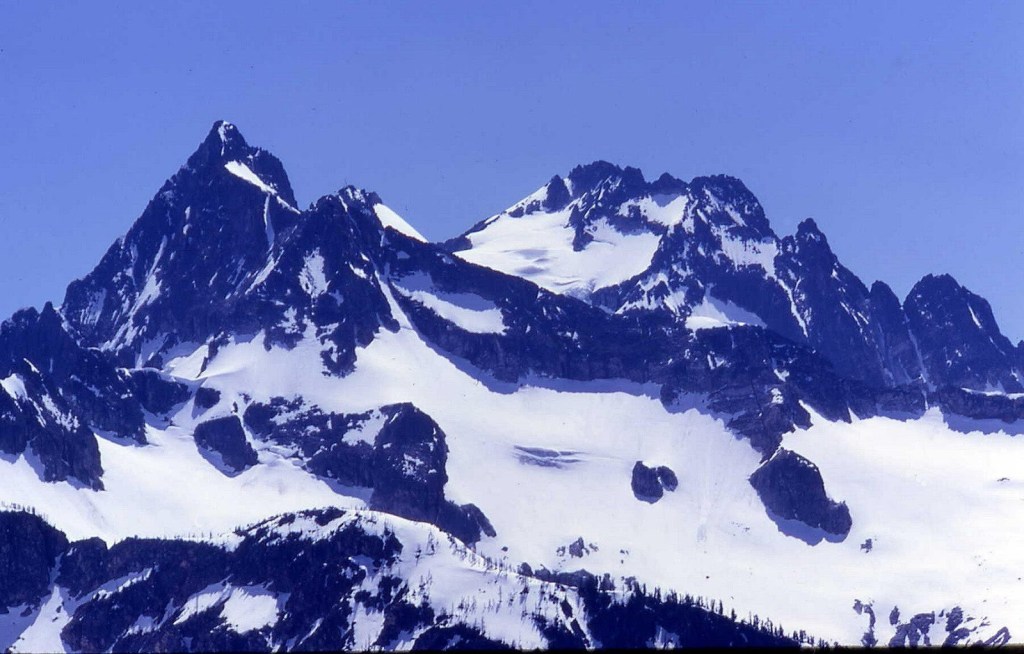
RAGGED RIDGE
USGS Mount Logan and Mount Arriva
‘MOUNT HOLYOKE’
aka Katsuk Peak
8680+ 7.5′ map / P440clean. Lidar: 8683′ / P435. 8678.5 by Eric Gilbertson’s d-GPs reading.
USGS Mount Arriva
FA August 22, 1968
Thanks to Chris Roper
Mount Holyoke was her alma mater.

During the rainiest August on record (4.58 inches) for that month we approached Ragged Ridge and ‘Mount Holyoke’ from Diablo Lake trekking a trail 18 miles up Thunder and Fisher Creeks (before the North Cross-State Highway was built), camping at 4400’ in a plush meadow below the summit. Our dog Tally (legally there before there was a National Park) trotted along with us. The next day we climbed Mount Holyoke in a cloud up a ridge which ends in a stump-like knoll extending south from the east shoulder of the peak, leaving Tally in our tent on a long leash with open door.
This is the second highest peak on Ragged Ridge and given this name by Chris for her alma mater in Springfield, MA on this first ascent. Fred Beckey didn’t like Fireys’ or our first ascent names on Ragged Ridge, so he submitted peculiar alternate Chinook-Jargon names to the USGS in 1969.
Holyoke’s two tops from Black. Eric Gilbertson determined that the two “summits are likely within about 3 inches of height of each other, but it is inconclusive which is higher” per his d-GPS readings on Sept 30, 2023. “Summary of Results: W. Peak 8678.2 ft +/-0.5 ft, E. Peak 8678.5 ft +/- 0.2ft. The confidence is 86.7% that East is taller than West.” https://www.countryhighpoints.com/katsuk-peak-survey/
PANTHER PEAK, NR
Lidar: 8810’ / Big P 2299
New route August 22, 1968
With Chris Roper

We descended from Mount Holyoke (Beckey’s Katsuk) to the intervening saddle with Panther and found a corkscrew couloir that wound its way to the top up the west ridge where we found the 1966 Firey-Meulemans first ascent register naming it “Panther Peak” (at the head of Panther Creek).
‘LITTLE J-BERG’ (aka ‘Arches Peak’)
7945’ 7.5′ map / P745clean. Lidar: 7963′ / P790.
USGS Mount Arriva
FA August 23, 1968
Thanks to Chris Roper
Map and Links at LoJ and PB, CAG+
The day after climbing ‘Holyoke’ and “Panther” we topped this previously unascended 7945-foot peak three-fourths of a mile north of Mount Arriva, naming it ‘Little J-Berg’ because of its shape when viewed from Easy Pass where it is an amazing look-alike to Mount Johannesburg by Cascade Pass. Our route was up Fisher Creek Basin, passing a blocky squarish arch under the north-face cliffs to an upper ramp then angling back (west) to a 7200-foot col on the main ridge one-half mile SE of the summit. Class 3 rock on the south side led to the top.
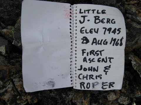
Gary Mellom, Ken Hunich, Mike Theobald, and I made the 2A (second ascent) on July 4, 1974 after HW 20 was completed (in 1972).
From Peaks With No Names (on the maps) : Little J-Berg was our original name for this summit since its shape resembles that of massive Johannesburg Mountain near Cascade Pass. Fred Beckey was lukewarm about this name for his guidebook, so ‘Legends Peak’ came to mind to honor Indian legends and legendary climbers. The alternate name was ‘Arches Peak’ for its arcing shape and for a blocky arch low on its north slope that we passed on our ascent. This is the name recorded in green Cascade Alpine Guide. I still like Little J-Berg best.
‘Cub Peak‘
7985’ / P325mean. Lidar: 7994′ / P309.
USGS Mount Arriva
FA August 24, 1968
Thanks to Chris Roper
Map and links on LoJ and PB. CAG+.
This (Panther) Cub name is for a small summit just E of “Panther Peak” 8795, named by the Fireys and Meulemans on their FA in 1966 (aka Mesahchie Peak). No problems from camp in Fisher Creek Basin.
“Kitling”/’Don’t Peak’
8003’ on 7.5′ map / P523. Lidar: 8019′ / P540
USGS Mount Arriva
FA August 24, 1968
Thanks to Chris Roper
This is an easy traverse from Cub Peak. Beckey applied the Chinook Jargon name Kitling, meaning “kettle.” It doesn’t look much like a kettle, and there’s already a variant-spelling of this on Kettling Creek and Lake a few miles SE.

It was snowing (in late August!) during our march home from Fisher Creek basin. On our exit, as we were hiking down a steep-banked section of the Thunder Creek trail we met an oncoming horse party. The hill was so steep that we felt uncomfortable being below these beasts, so we stepped uphill to let them by (before knowing current trail rules). The leader and other riders made it by just fine, but as one of the last pack horses passed it turned its big head toward Tally who was cuddled in Chris’ arms. This startled the pup right as their noses almost touched and she let out a crisp bark which caused the horse to step sideways off the trail and down the bank. Luckily there was a study hemlock just a few feet below the trail that stopped the fall as the horse expired a loud “huff.” The horsemen were able to get the horse and pack back on the trail, no problem.
1969
‘Baby Cheek‘
7360+ / P280mn
USGS Mount Arriva
FA June 16, 1969
Thanks to Tex and Monte Steere
Map with crosshairs on summit.
During the free week between completing a rotating internship at Swedish Hospital in Seattle and entering the US Navy in 1969 and shipping out to Vietnam, cousins Tex, Monte, and I rode 50-cc motorbikes up the single-lane dirt cat-track pilot road for the future North Cross State HW to the Easy Pass trailhead. Here we dropped the bikes and took the trail to the snowed-in pass. We were hoping to follow the ridge SE from there to a beautiful then unnamed 7965-foot peak but got cliffed out after the first 7360+foot rise. After camp, the next morning we skirted right around the obstacle to access the south ridge of the prize. We soon ran into a problematic notch which stopped my cousins, but this was too close to turn back. A couple of class 4 moves led down and around to access the top. Here I found a cairn and a register placed by Bill Long and Carl Casey on a Forest Service tree survey. They beat us here by a decade in August 1959, declaring it to be “Graybeard Peak.” This led to the ‘Baby Cheek’ name.
.
1970
‘RAGGED END’ (aka Cosho Peak)
8332’ on 7.5′ map / P512. Lidar: 8338′ / P518.
USGS Mount Logan
FA June 6, 1970
Thanks to Jerry Swanson
The four 8000+ foot peaks on Ragged Ridge all became part of the Bulger List of the Top 100 peaks in Washington.
The ‘Ragged End’ name stems from this peak’s position as the last 8000+ foot peak at the very west end of Ragged Ridge. Beckey put the Cosho Peak name on the map for the Chinook Jargon term meaning “pig or hog” (derived from the French word “cochon” as part of the trade language) for some reason.
Jerry Swanson and I approached from Diablo Lake at Colonial Creek campground up Thunder Creek to a camp at Fisher Creek the first night. The next day we headed up Fisher Creek, past Rock Cabin to a bridge crossing to the north side of the creek about 1.25 miles due south of our 8332’ goal. We scrambled up the creek gully to the col just east of the peak, sometimes on snow sometimes on its rocky bank. From the col it was a ramble west to the summit.
We had hoped to climb both ‘Ragged End’/Cosho and ‘Gendarmes Peak’/Kimtah and return to camp that day, but that did not pan out. Running out of time, we found a sort-of-flat place to bivouac below the summit at about 7000 feet and shivered the night away. The next morning we awoke, shook off the cobwebs and headed to our next peak goal, 8600+ ‘Gendarmes.’

‘GENDARMES PEAK‘ / Kimtah Peak
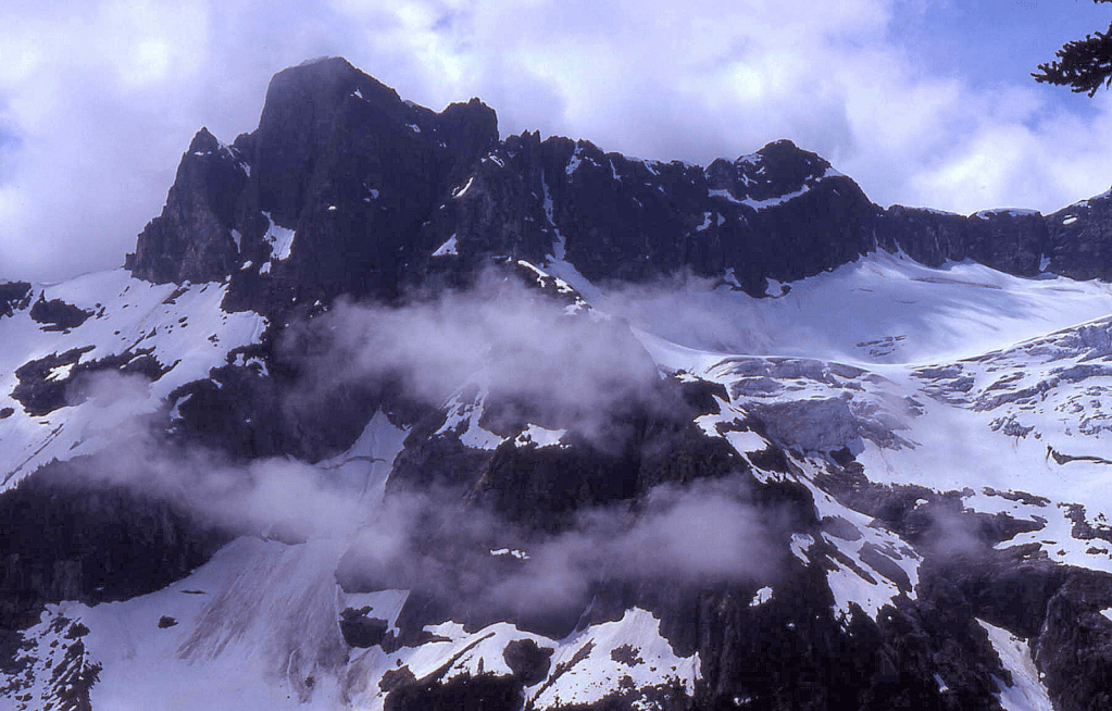
8600+ on 7.5′ USGS map / Big P 1040clean. Lidar: 8649′ / P1119.
USGS Mount Logan
FA June 7, 1970
Thanks to Jerry Swanson
Creaking out of our Ragged bivy, Jerry and I made our way east on the south side of Ragged Ridge undulating in and out of a corrugation of ribs and gullies passing under a small peak (later dubbed ‘Thieves Peak’) eventually to a point south of this summit where we were intrigued by its SE ridge of “Grotesque Gendarmes” which inspired its name.
A guide book author who had never been to Ragged Ridge petitioned the US Board on Geographic Names to apply the Chinook Jargon word “Kimtah” to this peak which means

The odd and lame choice of “Kimtah Peak” is a misnomer. This is not the “last” summit on Ragged Ridge. That “last” designation should go to “Ragged End” as noted above.
In spatial correctness as labeled from east to west, glaciologist Austin Post applied Chinook names to the north-side glaciers on Ragged Ridge, making Kimtah (”Last”) Glacier and Katsuk (”Middle”) Glacier reasonable, but those names should not have been moved uphill to the peaks above.

1971
MOUNT CUSTER, NR
8630’ on map (and a Bulger Top 100 peak). Lidar 8653’/ Big P1314.
New Route August 10, 1971
Thanks to Reed Tindall and Greg Rice
After bashing up Silver Creek and its headwall, we approached Custer from the SE above Silver Lake, ascending to a rock band then the NE/right ridge up one class 4 move to the summit. A 1958 Canadian party had signed in first. We were the 4th ascent. The original climbers called this “Matsaac Peak.” Silver Lake is said to be ~522-feet deep.
‘NEWHALEM PEAKS‘
6920+ / P800mn. Lidar: 6945′ / P790
USGS Eldorado Peak
FA September 18, 1971
Thanks to Steve Shelton, Jack Roper and Maurine Roper.
This peak is visible from Newhalem at the headwaters of the two forks of Newhalem Creek.
After climbing this triple summit, that evening our party returned to camp at Stout Lake and met Fred Beckey for the first time as he and Tom Stewart returned to overnight there after their FA of “Praying Mantis” near Dorado Needle. Fred jokingly asked me if I lived there at Stout Lake knowing of our previous Bat and Backbone Ridge ascents.
In 1962 Mike Swayne and Don Ihlenfeldt were very close to the top of Newhalem Peaks on their way to planting fish in Wilcox Lakes, but Mike’s photo-evidence confirmed that they skimmed a bit under the summit as they were not peak-bound. They bestowed the names of their wives Lillie and Sandie on the two Wilcox Lakes.


From “Isolation Peak.” Enlarge.
1972
Tricouni Peak NR
8102′ on map. Lidar 8106′ / P875
NR New Route May 29, 1972 (FA was in 1951, naming it for the cleats on climbing boots of the day.)
Thanks to Dallas Kloke, Reed Tindall, Mike Theobald, Paul Greisman, Scott Masonhoder.
We made an interesting steep snow then rock ridge ascent up the north slope.
‘THUNDER PEAK’
8800+ / P280mn. Lidar: 8800′ / P276.
USGS Mount Logan
FA July 2, 1972
Thanks to Gary Mellom and Reed Tindall
This peak on the NW ridge of Mount Logan was impressive when I first laid eyes on it from the western peaks of Ragged Ridge in 1970. My Newhalem climbing buddy Gary Mellom and I made a stab at it over our annual July 4th weekend climb in 1971 getting to the frozen lake at the base of the Banded Glacier before a storm and zero visibility chased us away. We climbed back up the chute we had descended calling it ‘Christmas Tree Couloir’ for the shape of a rock formation in the snow mid-way up as we returned home via Fisher and Thunder Creeks.
The following year we enlisted Reed Tindall and repeated our same approach from Diablo Lake walking over a frozen “Vulcan Lake” to the same camp at Banded Lake. The next morning we climbed the north ridge of Thunder Peak’ over some steep class 3 rock.
Following the climb we returned to our packs and carried them over a new route on Mount Logan up the Banded Glacier which has become more difficult with its recession.


‘Backbone Ridge’ Peaks
‘Lumbar Peak’
7040+ / P160mn
Map and links at LoJ and PB. CAG+
FA July 30, 1972
Thanks to Theresa Kay Smith and Steve Shelton
CAG downgrades these peaks to “points.”
Lumbar is the smallest peak on Backbone Ridge, and this vertebral segment is called the “small of your back.”
Our approach was the same as that to ‘The Bat’ in 1967 (see previous report) from Newhalem Creek via Stout Lake to a camp at ‘Purgatory Pond.’ On July 30, 1972 (TK’s 19th birthday), we hopped over a 6100’ saddle into the Marble Creek drainage and headed for The Sacrum-Lumbar col/Intervertebral disc. We gave Sacrum a look but opted not to try the class 5 ascent pitch then turned and ran the ridge over Lumbar, Thoracic, and Cervical Peaks before dropping into a scenic camp above Marble Creek. The next day we summited ‘In Spirit Peak’. All of these peaks were pleasant class 3 or easier scrambles.
‘Thoracic Peak’
7170’
FA July 30, 1972
Thanks to Theresa Kay Smith and Steve Shelton
‘Cervical Peak’
7360+ / P280mn
FA July 30, 1972
Thanks to Terri Smith and Steve Shelton

‘IN SPIRIT PEAK’
7480+ per map / P360mn. Lidar: 7508′ / P383
FA July 31, 1972
Thanks to Theresa Smith and Steve Shelton
For climbers that could not be with us. Scrambled up the S face.

1973
‘The Blip’
USGS Mount Challenger
FA July 7, 1973
Thanks to Gary Mellom and Jim Lucke
Map on LoJ CAG+ brief

Not much, but that was all that was left unclimbed in the Southern Pickets in 1973, well, except for ‘The Turret/Tine’, right of The Blob above the top of ‘The Stump’, left of the Terror Col (see July 22, 1984 FA).
‘The Tack’
7400+ on 7.5′ map / P240mn. Lidar: 7481′ / P281.
USGS Mount Arriva
FA August 11, 1973
Thanks to Steve Shelton
‘New Morning Peak’
7230’ map / P130mn. Lidar: 7252′ / P158.
FA August 12, 1973
Thanks to Steve Shelton
1974
‘Cats Ear’
2A September 1, 1974
Thanks to David Stonington and Alex Medlicott
Named for its shape.
Our route was non-technical from the Neve Glacier. We saw Nepa/no evidence of previous ascent on top, but as we descended by a slightly different route about halfway down we noticed a footprint in the soil. So take that FA trophy off the shelf. Wonder who? Good looking peak though.
1975
No FAs but somewhat productive
17May Mt St Helens ski (9677) 4th time
25May Silver Star Mtn (8876)
26May S Early Winters Spire (7807)
4Jul Dome Peak (8920+)
6Jul Sinister Pk (8440+)
26Jul E Diabase’ (5494)
26Jul Diobsud Butte (5871)
26Jul High Diobsud (5893)
17Aug Ropers Roost’ (6705) 3rd time
17Aug Ross Mtn (6052)
27Sep Easy Pass with Dad
12Oct Frisco Mtn (7765) w/Don Avriett
1976
‘The Haystack’
7139’ / P459clean. Lidar: 7144′ / P462
FFA May 8, 1976 First ascent by foot
Thanks to Richard Pellerin
Just down the ridge from The Needle (which name is misplaced on the 7.5’ USGS Diablo Dam quadrangle). It also has sort of a rounded haystack shape. We found USGS wood & wire from a helicoptered survey atop. We approached from East Fork of Newhalem Creek.
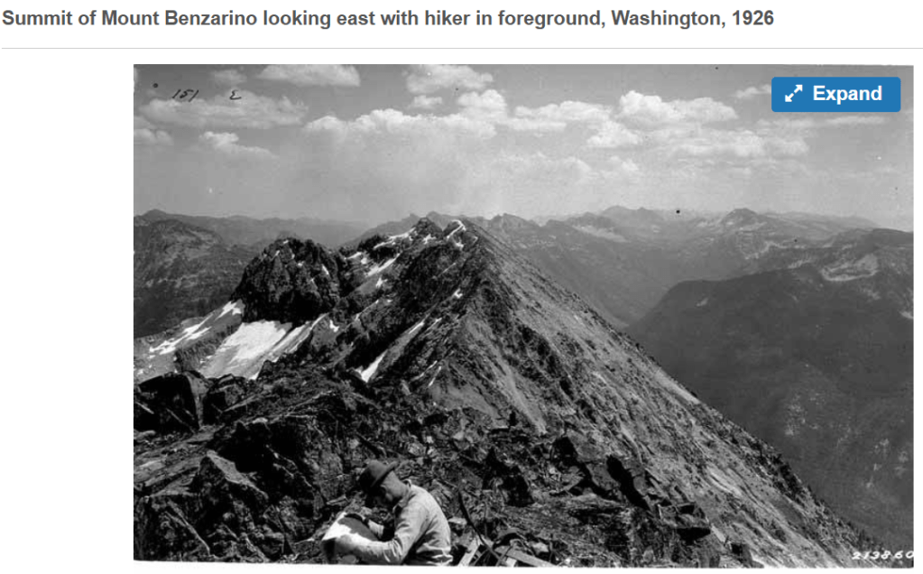
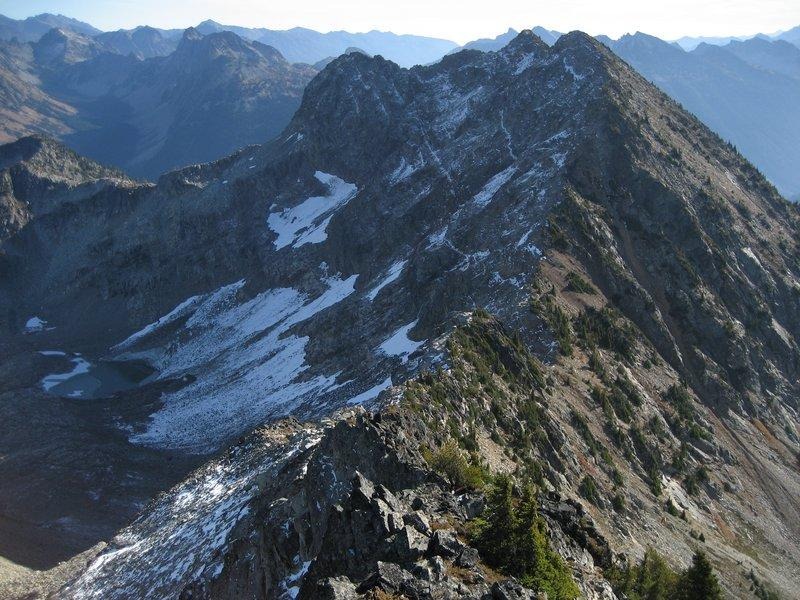
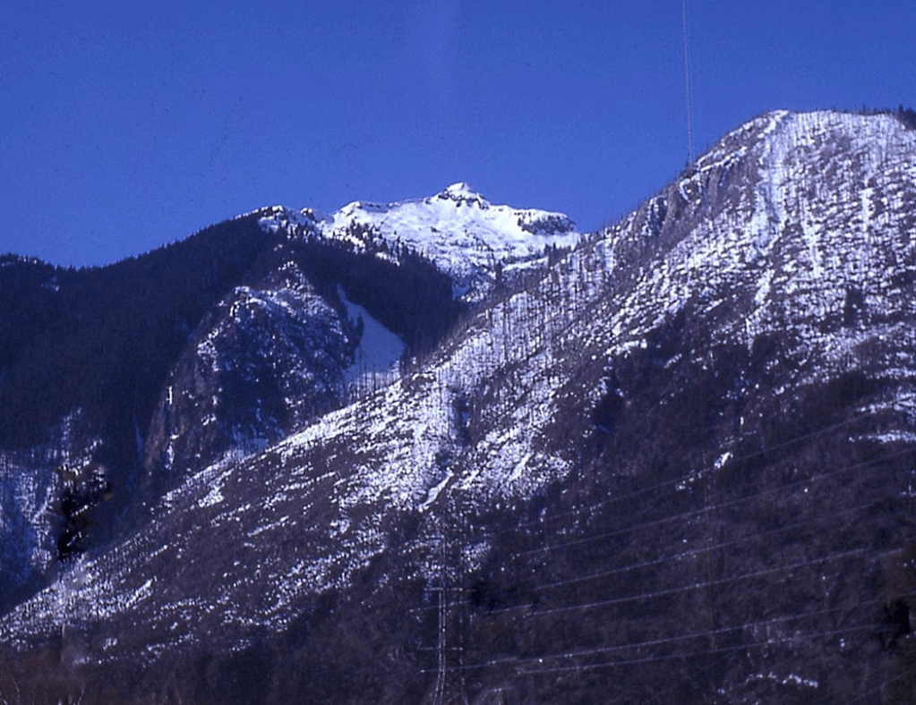
MOUNT BENZARINO
7720+ / P680cl-720mn. Lidar: 7770′ / P746.
USGS McGregor Mountain
Nepa/?FA July 25, 1976
Solo up south ridge to the two SW 7720+ peaks, where the map label is located.
As of 2025, CalTopo and Forest Service maps are missing the 5 highest 7720+ contours shown on the paper quad, showing only four 7680+ contours.
Nepa/?FA on the three 7720+ NE summits June 16, 1984
Thanks to Russ Kroeker
When the SW peaks were soloed on July 25, 1976, up the south ridge (left ridge in the photo above) approaching from Maple Pass, there was no evidence of previous ascent on top. At that time, I knew of Harry Majors’ note in Exploring Washington (1975) stating that Lage Wernstedt had climbed Benzarino in 1926 (p. 45, note 229). On our 1984 climb the NE summits were partially covered in snow so we could not tell for sure if they had any evidence of a previous visit.
In 1976, the possibility of Wernstedt’s climb was suspect to me, but when the first ascent history of Washington’s 100 Highest Peaks was being researched (12/2004)– (http://www.rhinoclimbs.com/WA100HighestFAChronology.htm on original Rhinoclimbs), Harry Majors came up with a photo by Lage Wernstedt labeled as taken from Benzarino. So at that time I was taking this one off the FA-trophy shelf. However…I still wondered if this peak with a map name and no evidence of previous ascent was a possible FA. Was Lage Wernstedt here 50 years before me (1926 vs. 1976)?
An online search led to a fine article by Geof Childs in which he wrote:
“John Roper, a prolific first ascensionist in his own right, recalls climbing Mount Benzarino in 1976 and assuming that because he found no cairn on top that Wernstedt may not have actually reached the summit. A claim dispelled only a short while later when Harry Majors discovered the panoramic photograph Lage had taken from the top. Benzarino, as Roper points out, also provides an excellent example of Wernstedt’s status as a “unique name-bestower.” According to legend, he named the peak after a Basque sheepherder he met at its base. Friends and family members were the source of other place names and Mount Barney is said to have been named after his favorite horse. Only Mount Lago, a play on [the] way Americans pronounced his name, commemorates the man himself.”
That of course led me to look for Wernstedt’s 1926 photo and here it is, interpreted as being from the summit of Mount Benzarino.
http://digitalcollections.lib.washington.edu/cdm/singleitem/collection/wastate/id/1722/rec/1
On second look, the above 1926 Lage Wernstedt photo was actually taken from the summit of Frisco Mountain, close to Benzarino, but not from Benzarino. Compare it to the photo that John Morrow took from Frisco’s summit of Rainy Peak in 2006.
Mike Collins posted a WTA write-up on Mount Benzarino which properly credits John Scurlock as nailing the Lage Wernstedt origin of the Corteo and Benzarino names:
https://www.wta.org/go-hiking/trip-reports/tripreport-2006071302
“John Scurlock was researching information on Wernstedt in the archives at WWU. He reviewed an article written in the Bellingham Herald on Jan. 27, 1932 by June Burn (author of Living High). She had interviewed Wernstedt at his office in Bellingham where he revealed the names Benzarino and Corteo were the names of Basque sheepherders he encountered while working in the mountains. John Scurlock deserves our thanks for unearthing the answer to the mystery regarding the naming of these peaks.”
I would not be surprised if Lage climbed Benzarino 50 years before me (1926 to 1976) pending photographic evidence that he was there. That photo jury is still out and that photo from Benzarino is possibly in the Okanagon History Museum per Harry Majors who also offered another possible name for the shepherd as, “Ben Zarino.”
1977
TRAPPERS PEAK FWA
First Winter Ascent January 23, 1977
Solo
Map on LoJ and PB. CAG dismisses Trappers Peak in two sentences as a “small peak.”
Don Avriett and I gave Trappers Peak a good college try in the winter of February 1976. We were spurred on by my mother’s blueberry pancakes at 2 AM, and my dad’s encouraging chant, “Every step you take will be history!”
Trappers Peak is the most impressive peak that can be seen from Newhalem, my home town. On that 1976 trip, the snow was so low we only got my Vega about ten feet up the Thornton Creek road from HW 20, elevation 400 feet from where we x-c skied to the abandoned road crossing the creek at 2700. We dropped 58-pound packs there and snowshoed up the creek to Lower Thornton Lake, then followed the usual ridge line to within 100 feet of the summit. Alas, as a weight saving measure we had left crampons at home and were stymied by the final rock-hard icy top.
SW Face of Trappers Peak December 29, 1967 from Thornton Lake. Chris Marshall and I snowshoed just a ways farther before bailing on the first winter attempt.
Finally on a light snow winter (January 23, 1977) I was able to drive almost to the current Thornton Creek/Lake trailhead and hiked the snowed over route along the path of the usual trail to the top.
‘Interloper Peak’
Berdeen Peak in CAG
6484’ on 1953 15’ USGS Marblemount. 7.5’ quad says 6400+ / P800. Lidar: 6489′ / P920.
USGS Damnation Peak
EPA/2A? August 5, 1977. Possible helicopter survey party left broken cairn preceding us.
Thanks to Mark Allaback, Steve Allaback, and Joe Medlicott
The Interloper name was applied by Professor Steve Allaback, PhD in 1977 on our first North Cascades traverse together with his 15-year old son Mark and colleague Professor Joe Medlicott. Californian Steve felt like an intruder, an interloper he said, when we encountered the “unwelcome mat” of side-hill alder and devils club on the approach to this place where he did not naturally belong.
Not the sexiest name for a mountain, but better than “Berdeen Peak” in CAG uninspired by moving the map name uphill from the lake below.
In the mid-1970s pioneer Glee Davis told me how Berdeen Lake got its name. Glee had built the trail up Sourdough Mountain from Diablo by leading horses that stomped out a path of his choosing and constructed the lookout cabin there in 1917. He prepared a map of the region, naming the impressive frontal peak across the Skagit River from Sourdough “Bernadine Peak” for a childhood friend of his. He told me she died of spinal meningitis contracted from a cold breeze when she sat by an open window at church in Birdsview.
He called the highest peak in this group, “Hosanna on the Highest” which later became “Whats-the-Matterhorn” (Strandberg and Degenhardt’s name), then Paul Bunyans Stump. The Forest Service supervisor in charge of mapping in the early 1920s renamed Bernadine Peak as “Pyramid Peak” on the map. He thought he could placate Glee by moving Glee’s name for the peak to the large lake at the headwaters of Bacon Creek, but in the process he misspelled Bernadine’s name as “Berdeen.”
Glee married Hazel in 1913 and they had two daughters: Jeanita (who Glee gave as a name to a lake along Stetattle Ridge) and Virginia (Glee applied this name to what became Bouck Lake, so he wasn’t happy about that switch either).
1978
‘NLAKA-PAMUX PEAK‘
6607’/P1647 on map. Lidar 6605’/ Big P1672.
FRA (first recorded ascent) April 9, 1978
Thanks to Stuart Ferguson
CAG gives it one sentence under Sourdough Mtn Trail notes as “Point 6607, a rounded hump.”
The Miskaiwhu were the Indians of the Upper Skagit who had a seasonal fishing camp where Gorge Powerhouse now sits on the Skagit River in Newhalem. The Nlakapamux were BC Indians that came down the Skagit and raided the Miskaiwhu camp. The Miskaiwhu stalked them back upstream where there was the “Battle of Stetattle,” after which the Nlakapamux left the Miskaiwhu alone.
We approached Sourdough Lookout from Ross Dam up the Pierce Mountain Trail and camped atop. Only the lookout’s lightning rod stuck out of the snow. The building was buried. The next morning Stuart scampered ahead as we snowshoed clockwise around the rim above Sourdough Lake to the 6607′ top which was buried in snow. We could not evaluate whether it had a cairn or not, so we called this a first recorded ascent. It is possible that a fire lookout walked over here to break the monotony, though this is a dead-end summit, not as interesting a trip as running Stetattle Ridge out towards Elephant Butte.
‘LOGGER BUTTE’
6080+ / P720clean. Lidar: 6111′ / P718
USGS Damnation Peak
FA May 5, 1978
Thanks to Stuart Ferguson, Reed Tindall, Ron Aronoff, and Kent Crites
This name was a tip of the hat to the men who made their living in the Skagit woods.
‘THE TRAP’
6960+ / P560cl-600mn. Lidar: 6981′ / P578.
USGS Cascade Pass
FA June 4, 1978
Thanks to Stuart Ferguson
Just E of Trapper Mountain, above Trapper Lake. CAG calls it “Trapper Annex,” a poor name for a mountain, but that name could be applied to its western sub-summit.
The day before we punched up ‘Ice Ax Couloir’ to ‘Adze Col’ to climb Trapper Mountain. After a long, cold night bivying atop, Stuart Ferguson led a class 5 route up from Adze Col to the low Annex point between The Trap and Trapper. We then finished The Trap, with Stu driving the only piton I experienced for protection to climb a peak in the North Cascades.
‘Six Hellions’
Highest Hellion is recorded as “Teebone Ridge” in LoJ and PB at Lidar 6367′ / P312.
FA June 17, 1978 (Highest Hellion 6324’ and Hellion 3 6240+)
Solo (with John and Sue Burroughs passing in support)
FA June 19, 1982. Hellion 4 (6160+) and Hellion 5 (6154’).
Solo (with Silas Wild and Russ Kroeker nearby thinking, why bother?)
Map on LoJ at crosshairs. CAG+ mentions Six Hellions briefly in text and labels it on a hand-drawn map. These peaks are along the stem of ‘T-Bone Ridge‘ between Big Devil and Little Devil Peaks. Hellions 2 and 6 are nubs that I did not record as having climbed. The map misspells this as “Teebone Ridge,” a golfer name. Climbers prefer steak.
On both occasions our parties approached from Cascade River up Monogram Lake trail to Little Devil. Then on Day 2 we climbed Baksit (Skagit Indian for “The Nose”—per Glee Davis) and crossed over the broad snowy saddle to its east shown in the following photo. All the Hellions were scrambles.
‘Gendharma’
7740′ / P320mn. Lidar: 7725’/ P336.
(aka ‘Consolation Gendarme’)
USGS Mount Spickard
FA July 4, 1978
Thanks to Jim Lucke
On July 3, 1978, our party deviated from our original plan to climb both Mox Peaks via ‘Col of the Wild‘ (bestowing the name) from Perry Creek and instead headed up to ‘Col of Nature‘ (at crosshairs) a 6960+ pass between Gendharma and Tranquility Gendarme after one of our party suffered GI distress, inspiring that name. The next day, July 4, Gary was feeling better so we started to drop into Redoubt Creek to try Tradition Peak the 7747-foot peak across that valley. After descending a few hundred feet it was clear that we did not have the weather or enough time or energy to descend to Redoubt Creek and do a new route on Tradition, so we returned to our Col of Nature camp. From here Jim Lucke and I headed NW to climb Gendharma.
We initially thought of Peak 7740 as Consolation Gendarme on the Ridge of Gendarmes and recorded that name in the summit register as we had bailed on our original plan. It is similarly noted in PB and briefly as such in CAG. On further thought back at home, the name evolved into Gendharma as a nod to Jack Kerouac and his book The Dharma Bums.
—To refresh, Jack Kerouac spent the summer of 1956 at the Desolation Peak Lookout across Ross Lake from this peak staring at Hozomeen Mountain where he wrote notes that he fine-tuned into his 1958 book, Dharma Bums where he writes (italics added):
“Hozomeen, Hozomeen, the most mournful mountain I ever seen, and the most beautiful as soon as I got to know it and saw the Northern Lights behind it reflecting all the ice of the North Pole from the other side of the world.”
In 1965, his Desolation Angels was published noting…
“Hozomeen, Hozomeen, most beautiful mountain I ever seen, …sheer magnificent Prudential mountain, nobody’s even heard of it,..but what a horror when I first saw that void the first night of my staying on Desolation Peak waking up from deep fogs of 20 hours to a starlit night suddenly loomed by Hozomeen with his two sharp points, …–the Void, every time I’d think of the Void I’d see Hozomeen and understand—Over 70 days I had to stare it.”
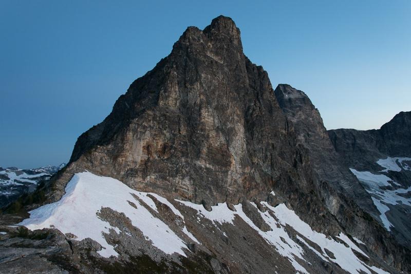
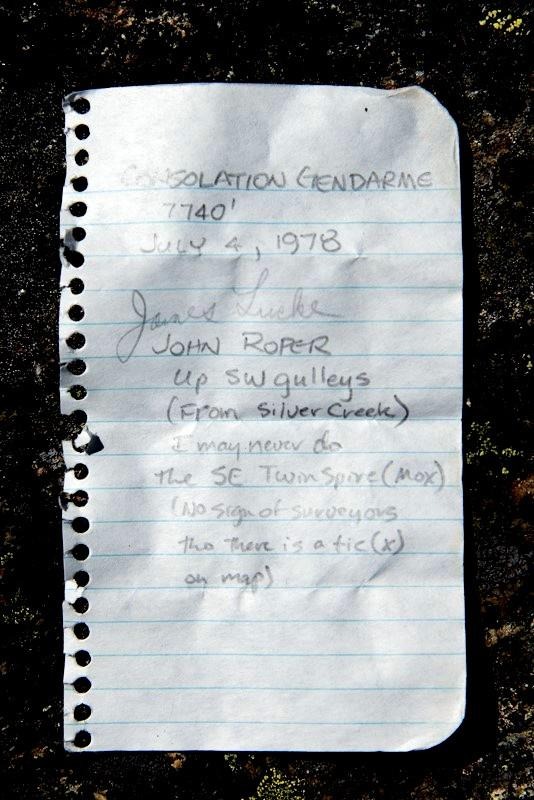
‘Tranquility Gendarme’
7374′ map. Lidar: 7387′ / P427
July 4, 1978
Solo
With Gary Mellom, Jim Lucke, Mike Theobald, Paul Greisman enjoying camp at Col of Nature
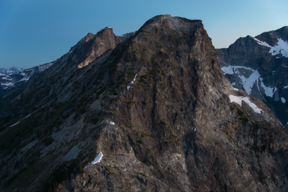
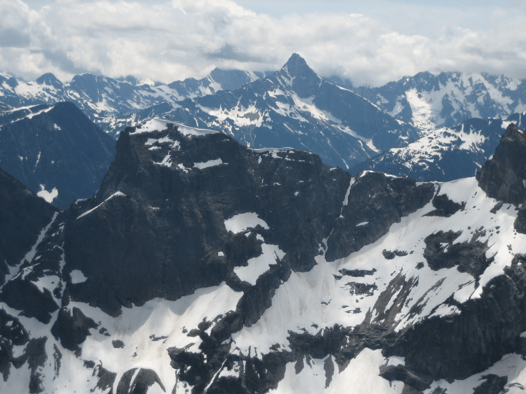
‘TRADITION PEAK’ NR
7747’ / Big P1067. Lidar: 7737 / P1095.
New route July 5, 1978
Thanks to Jim Lucke
Maps on LoJ and PB. CAG+ (as Rustic)
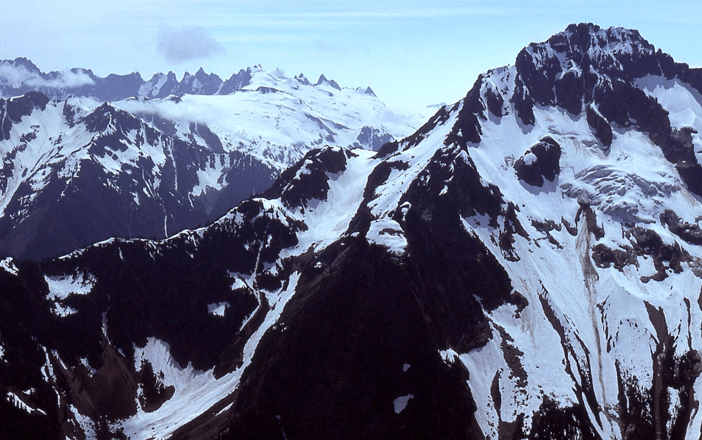
Named for Native traditions and the many traditions climbing friends have in getting out in the mountains together or solo year after year. After retreating back to the “Col of Nature” on the Ridge of Gendarmes on an aborted attempt the day before, Jim Lucke and I descended down to Redoubt Creek and camped on July 5, 1978. The next day we climbed Tradition by a new route up Lucky Creek (at crosshairs) that drains its SE slope much on snow for its 2A (after FA by 5 Mountaineers in 1964). We exited out Redoubt Creek the next morning. That short 2-mile jungle to Little Beaver Creek was one of the most annoying bushwhacks of my life as we battled vine maple, slide alder, and willow. It was hard to decide which twisted plant was the worst as we bounced branch to branch two feet in the air. David Carmody photo from SW.
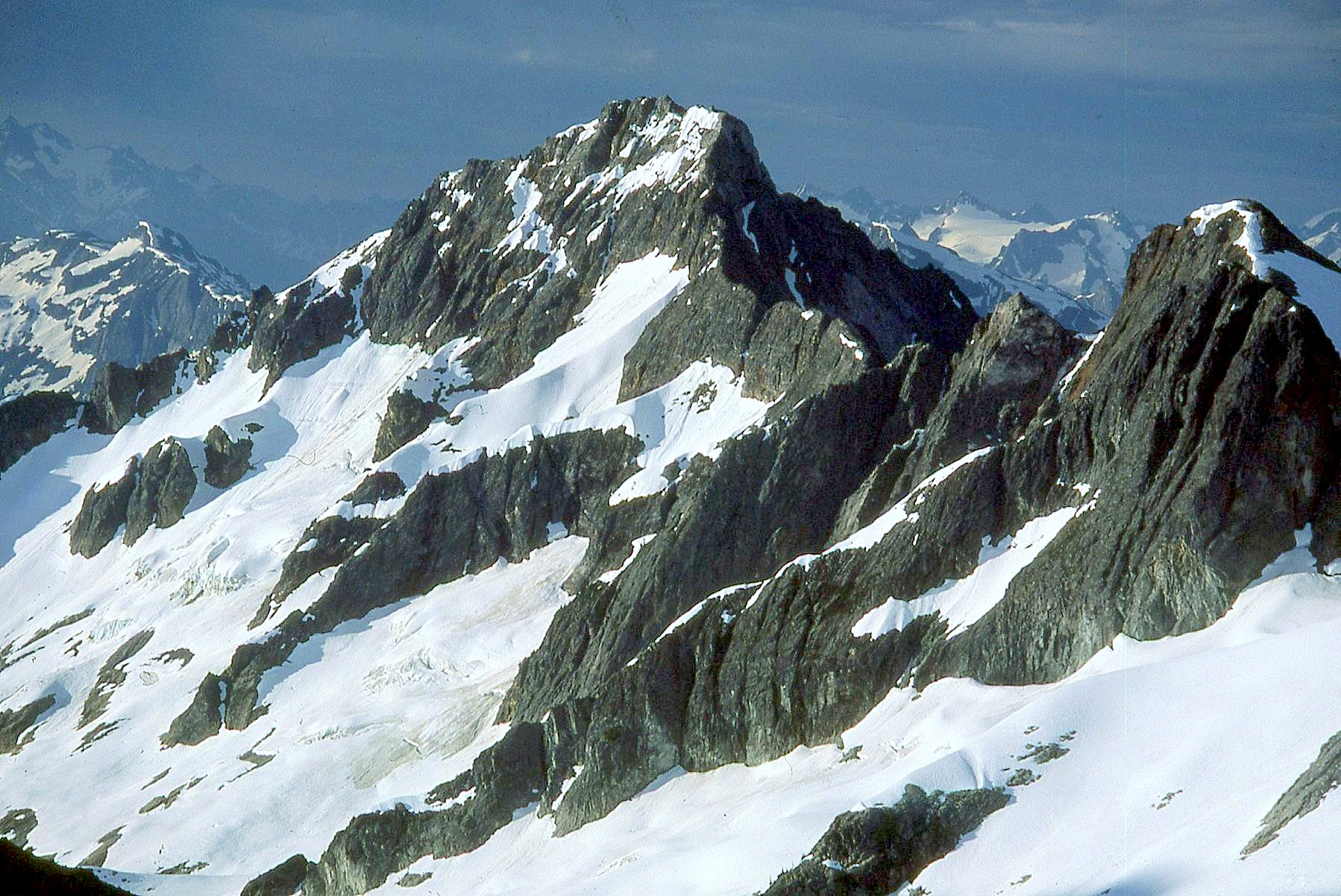
Our friends (Gary Mellom, Paul Greisman, Mike Theobald) had to get back for work commitments so took a more direct line to Little Beaver Creek from Ridge of Gendarmes on July 5, 1978. Along their way down, they ran into a cliff band where they temporarily dropped their packs to check out an alternate route. When they returned to their packs there was a black bear checking out his new-found loot. After first deciding to wait him out, they started yelling. Bear was not buying it. Contemplating their next move, pieces of Ensolite sleeping foam started flying over their heads as the bear dug in for their food. At that point the guys started yelling louder and as the bear stood on his back legs to see what the commotion was all about, they managed to pelt him in the chest with a couple of well-aimed rocks. This finally did the trick and the bear sauntered away. In addition to tearing up some Ensolite, the bear had bitten through one of the side pockets and a Nalgene bottle full of Wyler’s juice soaked that pack.
Mount Prophet, Arctic Glacier
New route: July 28, 1978
Thanks to Mark Allaback, Steve Allaback, Joe Medlicott, and Pete Eckmann
Ours was a NR on Prophet, via this glacier, not a FA of the peak.
Map on LoJ

We booted straight up the gut of this glacier to the skinny central couloir leading to the col just SE of the top.
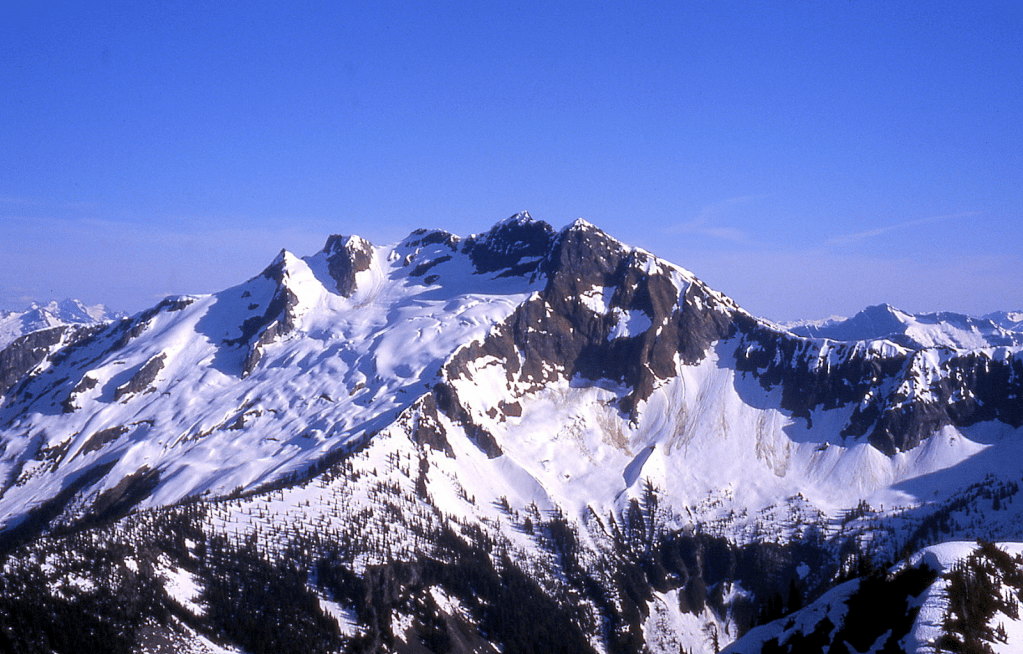
‘THE SAINT’
7185′ / P945clean. Lidar: 7192′ / P988
‘THE SINNER’
7035′ / P955cl. Lidar: 7034′ / P980
USGS Mount Prophet
FAs July 29 (Saint)-July 30 (Sinner), 1978
Thanks to Mark Allaback, Steve Allaback, Joe Medlicott, and Pete Eckmann
Sinner map on LoJ and PB. CAG+ small print.
The Saint route was up its SE slope. We circled around the north side of The Sinner, finishing via the NW ridge.
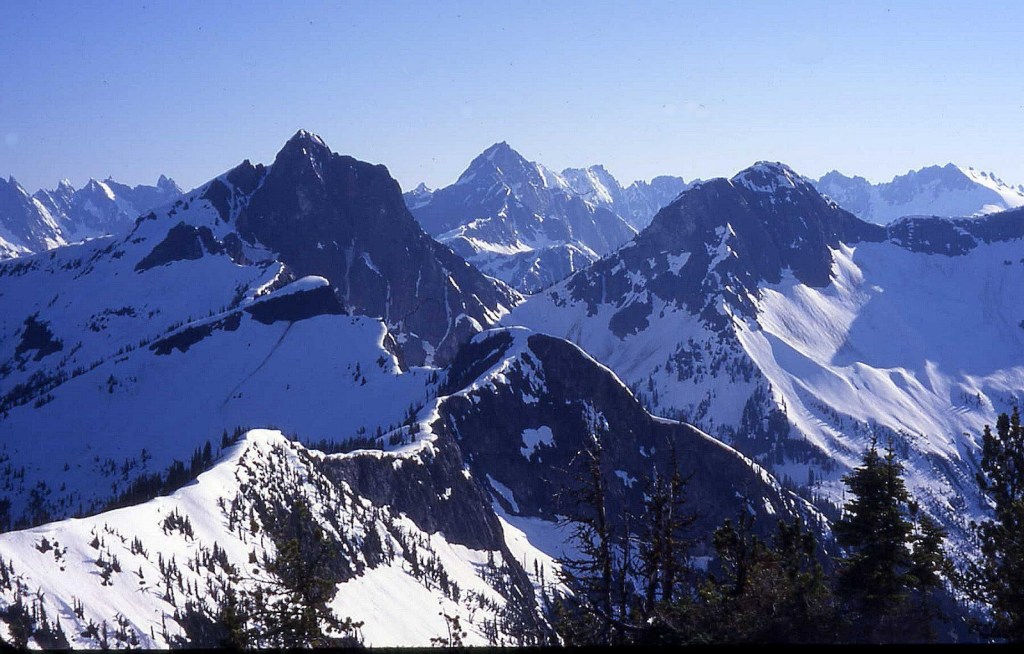
‘The Apostle’
‘The Epistle‘
USGS Mount Prophet
Apostle 6910’/P410mn on map. Lidar 6906’/P366.
FA /Nepa July 30, 1978
Thanks to Joe Medlicott, Mark Allaback, Steve Allaback, Pete Eckmann
Prophet-themed names on little peaks between The Sinner and Revelations via a pleasant ridge run.
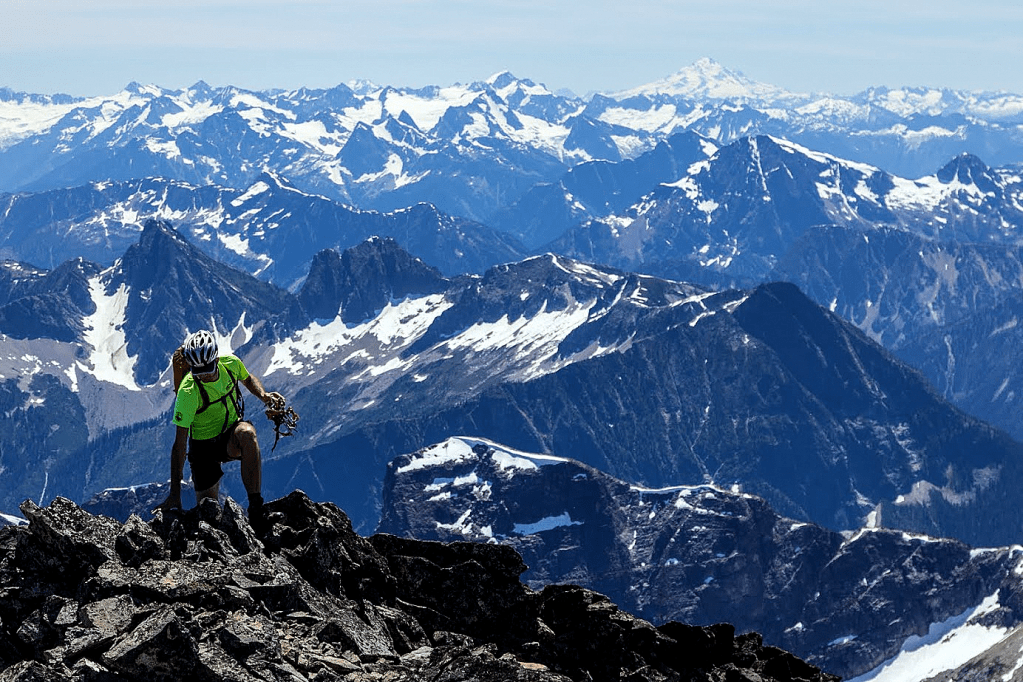
‘Revelations Peak’
6872′ map / P332mn. Lidar: 6979′ / P345.
USGS Mount Spickard
FFA July 30, 1978 (First Foot Ascent)
Thanks to Joe Medlicott, Steve Allaback, Mark Allaback, and Pete Eckmann
USGS surveyors had helicoptered in before, leaving usual wood and wire.
Map on LoJ and PB. CAG+ minor.
This is the last chapter on the Mount Prophet ridge.
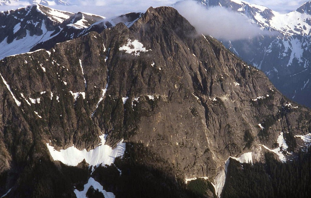
MONUMENT PEAK
8592’ / P1072clean. Lidar: 8615′ / P1106.
FA September 26, 1978
Thanks to Fred Beckey

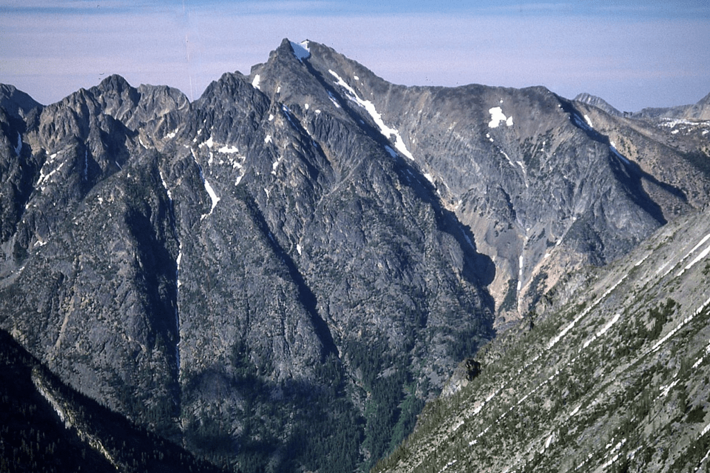
Fred Beckey called at 11 o’clock one night and proposed that I pick him up the next day to go along to a possible first ascent of a high Washington peak. He initially would not reveal what goal he was thinking of, but said he had heard a rumor that there were a bunch of fanatics going around the state trying to climb the very highest peaks, and he figured this was one of them, so he wanted to investigate before they got there.
Geologist Rowland Tabor had shortly before revealed that this peak likely had not been climbed, probably because he had hovered in a helicopter right above the summit and saw no cairn during one of his surveys.
I told Fred that I would have to know the destination so I could bring a map and tell my folks where to look for us if we didn’t come back. He gave in telling me it was Monument Peak and proposed we enter from Canada and approach via the Pasayten River trail. I did not yet own the “new” 7.5-minute contour maps to the Pasayten, so the only map I had of the area was the pitiful 1:250,000 Concrete quadrangle where it was clear that the fastest way in to Monument would be from the south via Lost River trail from Mazama.
The next morning I picked Fred up and we stopped at a McDonald’s to review my plan. Fred agreed (and also replenished his catsup and napkin supply). We made it to camp near Pistol Pass and climbed the class 4 east ridge of Monument the next day to find an undisturbed summit.
The fanatics turned out to be the “Bulgers” whose leader peaked out on Monument the very next spring, May 26, 1979. A year after this I met Russ Kroeker and learned of their mission.
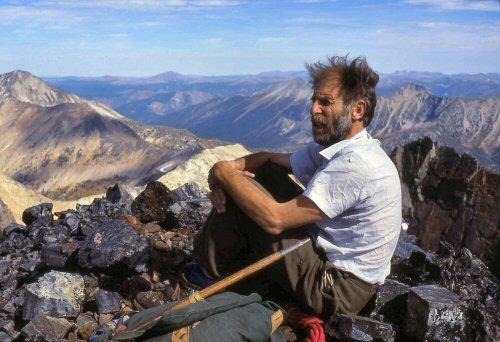
Fred has eight first ascents on the WA Top 100 Bulger Big Boy List: Lincoln, Forbidden, Enchantment, SE Mox, NW Mox, Golden Horn, Big Snagtooth and Monument.
‘RHINO BUTTE’
6914’ map / P554clean. Lidar: 6916′ / P610.
USGS Mount Prophet
FA October 15, 1978
Solo
Map on LoJ and PB. CAG mentions it as an elevation.
I initially amused myself by thinking of the landforms SW of Elephant Butte by their shapes in medical terms: “Singultus–hiccup” and “Borborygmi–stomach growl.” Luckily the idea of naming these in the vein of their fellow pachyderm Elephant Butte led to the more appropriate terms of Rhino Butte and Hippo Butte. Rhino’s top appeared untouched, but Hippo had a small cairn, yet no register. I approached via the usual way along Stetattle Ridge. Shortly before summiting the Elephant I stepped on a tippy rock, pitched sideways and caught myself with my outstretched right hand incurring a one-inch long laceration on my right thumb down to the white flexor tendon. It needed stitches, but I had some mountains to climb. I taped it tightly and started taking Keflex, an antibiotic. After climbing the three peaks in the area, I bushwhacked down from camp through a horrible jungle above Stetattle Creek eventually finding the old trail. It was nasty.

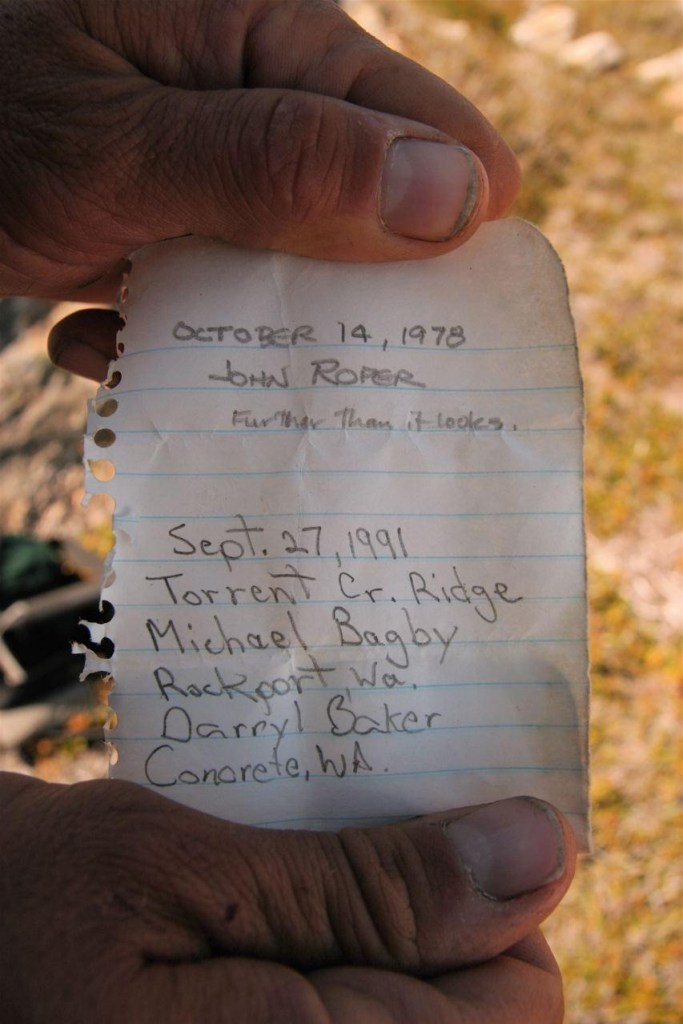
1979
Jagged Ridge I
7888’ / P268mean
USGS Mount Shuksan
Nepa/FRA August 2, 1979
Solo (with Jan Ott and Ron Aronoff watching from a sunny rock at the base of Shuksan)
Map on LoJ. Not on PB or CAG.
Jagged Ridge name is on map.
The summit was found undisturbed on this ascent, but it seems likely that various traverse parties and others in the area in 1953, 1959, 1960, and 1967 (esp.) included this summit without record.
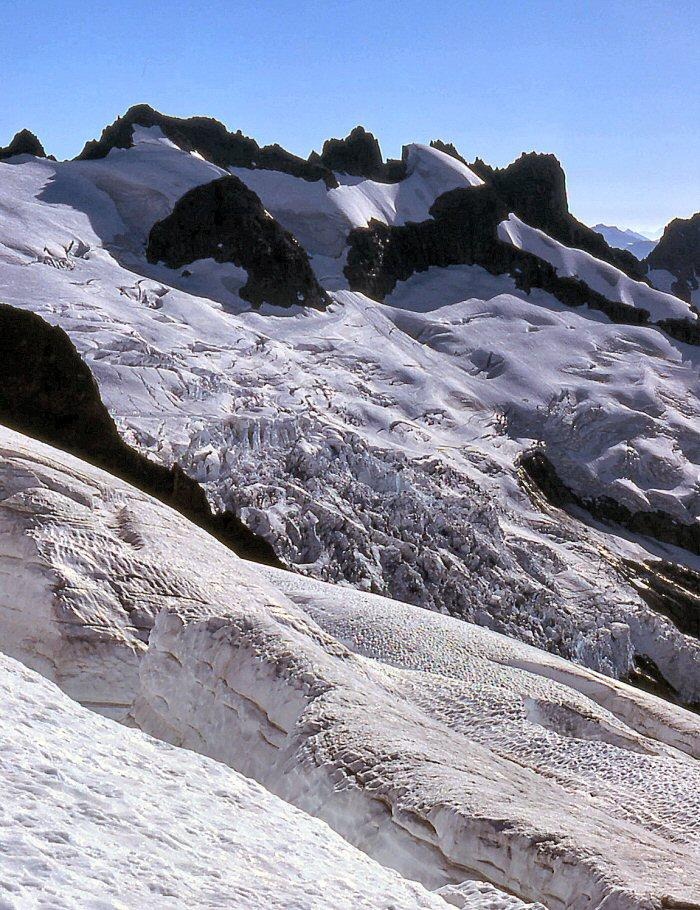
‘Mad Eagle Peak’
8080+ on 15’ map, 8111’ on 7.5’ USGS Mount Redoubt / P411mn. Lidar: 8107’/ P495.
FA August 11, 1979
Thanks to Mark Allaback, Steve Allaback, and Joe Medlicott
We approached from the NW via Depot Creek in Canada over No Doubt Peak, Canuck Peak, and Yank Peak (Beckey’s Goliah). From the south, this peak looks like an eagle flying straight up into the sky. The “mad” part reflected how American climbers felt when the Canadian loggers clear-cut the forest right up to the international border making an eyesore at the northern boundary of the most spectacular National Park in the lower US.
Climbed via NW gullies and snow.
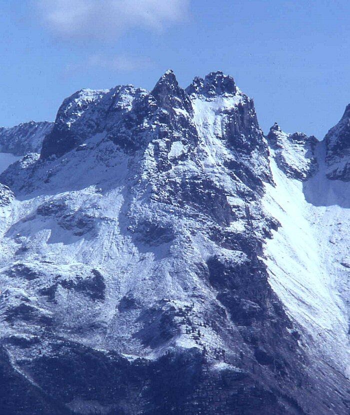
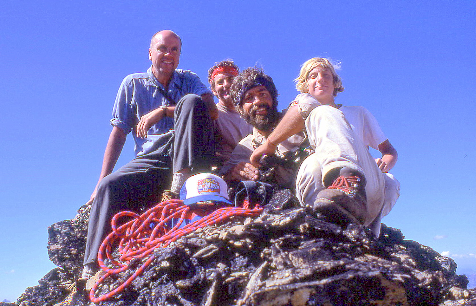
‘Moving Mountain’
8090’ / P310mn . Lidar: 8074′ / P340.
USGS Mount Spickard
FA August 12, 1979
Thanks to Mark Allaback (while Joe Medlicott and Steve Allaback slept in at Bear Lake)
Map on LoJ. PB. CAG+ as “Point 8090.”
Almost every piece of talus rock on this peak moved as Mark and I climbed up the left skyline in this photo.

“Rusted Ridge“
‘Cave Mountain’
7456’ map/ P396mn. Lidar: 7451′ / P431
2A?/FRA August 13, 1979
Thanks to Joe Medlicott, Mark Allaback, and Steve Allaback
LoJ. PB. In CAG as elevation point.
There is a shallow cave on its south flank above the small lake at the head of Pass Creek. Small cairn, no register atop.

‘Old Rust’
7523’ / P443cl. Lidar: 7518′ / P480.
FA August 13, 1979
Thanks to Joe Medlicott, Mark Allaback, and Steve Allaback
Map at LoJ. PB, In CAG as elevation point only.
Rust-colored summit between ‘Cave Mtn’ and ‘Tradition Peak’. Beckey expanded our name to “Rusted Ridge” and applied the incongruous rural name “Rustic Peak” to 7747-foot ‘Tradition Peak’ the high point on the SE end of the ridge.

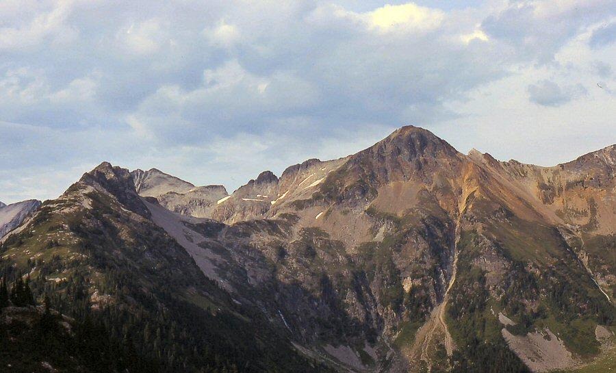
‘TAPS MOUNTAIN’
7087′ map / P707mn. Lidar: 7088′ / P706
Nepa/FKA August 14, 1979
Thanks to Joe Medlicott, Mark Allaback, Steve Allaback
Named for its position above Lake Reveille. Taps played on bugle. Reveille on bugle.
We scrambled Taps from Lower East Lake camp on our exit from Nodoubt Peak etc. to Whatcom Pass and out to the car at Chilliwack Lake in Canada, back when the trail went through.
Geologists Peter Misch, Kermit Bengston, and Bob Power may have left it uncairned in 1949 per Misch letter to Harry Majors 12/14/72.
On September 4, 1988, Taps was repeated solo approaching from Indian Creek to Lake Reveille, then over ‘Bugle Butte’ 7005’ (at crosshairs) which had been cairned.

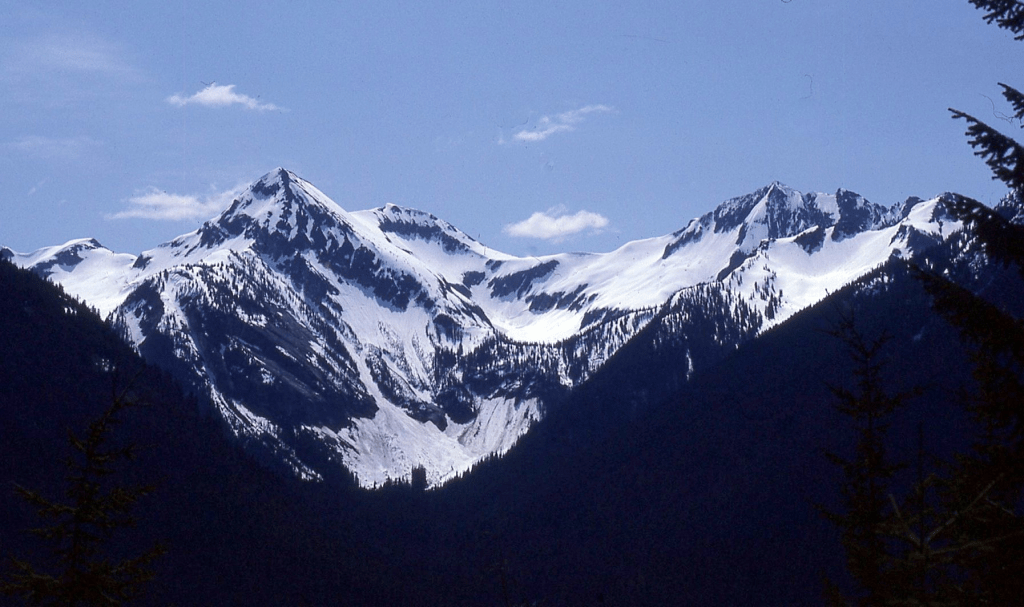
1980
‘ExSpire’
5960+ map / P840clean. Lidar: 5981′ / P863
FA June 1, 1980
Thanks to Ron Aronoff
Maps on LoJ and PB. CAG+ as an elevation.
Imagining that this flat-topped peak was once a spire before its top was lopped off making it an ExSpire. Also, plays on Inspir-ation Glacier nearby. Inspire, Expire. But you don’t want to expire here.
Route was up a SW gully then class 4 ridge from Sibley Creek.
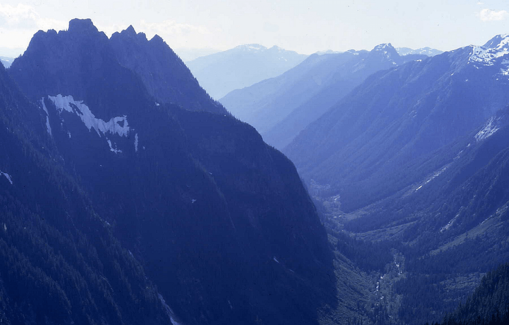


The central 5915’ ‘Zane Spire’ has P415mean. XYZ. ‘ExSpire’, ‘Y-Spire’ (twins), ‘Zane Spire’ which we failed to summit on an attempt October 25, 1993 due to a slippery slope after early snow. On September 25, 1994, Gary Mellom and I came back and found Dallas Kloke’s name atop ‘Zane,’ stating he thought he was on ‘ExSpire’. LoJ. PB. CAG-
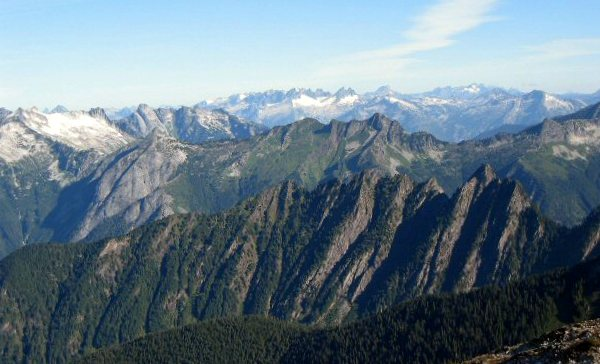
‘TOMBSTONE PEAK’
7895’ map / P895cl/P915mn. Lidar 7907′ / P930.
FA July 5, 1980
Thanks to Gary Mellom, Reed Tindall, Don Avriett, and Phil Van Duyne

This name was to further honor Dr. Warren Spickard who fell to his death on nearby NW Mox in 1961 and all other climbers who have lost their lives in the mountains. Approach from Spickard-Solitude Col, I believe up a NW gully.
But there’s this from Harry Majors, “The Mountaineer (Seattle, monthly bulletin), October 1947, page 4. “An unnamed peak on a ridge at the junction of Perry Creek and Silver Creek south of Glacier Pk. [Spickard] has been reported as a first ascent by Lowell Russell, who climbed it with Bill Demming of the Forest Service on Aug. 1, 1947 (elev. approx. 7500 ft.).” But that elevation is about 400 feet lower than Tombstone, so maybe they climbed this.
‘SOLITUDE’
8405’ map / P414 by differential-GPS.
FA July 5, 1980
Thanks to Reed Tindall (while Tombstone party headed back to camp)
Lonely and peaceful in a whiteout. Years later I was amused and happy that in 2023 Eric Gilbertson confirmed this was a Washington Top 100 Peak by P400 here with a survey-grade differential-GPS unit capable of 1-inch vertical accuracy.

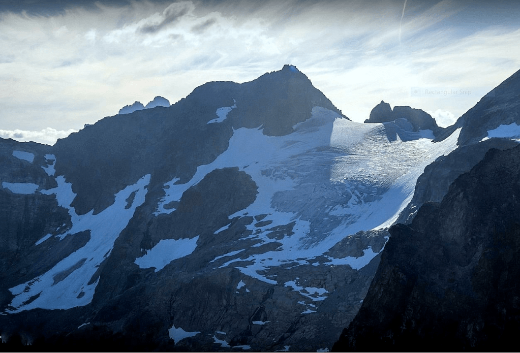
‘Squatter Peak’
6719’ on 15’ map, 6680+ on 7.5’ map. P400cl/P440mn. Lidar: 6733′ / P469
FA July 27, 1980
Thanks to Reed Tindall, Stuart Ferguson, and Peter Jewett
Theme name for this peak on Pioneer Ridge. We approached this from Baker River. Also, one of our party gave further meaning to the name near the top. Beckey really liked this name for some reason.
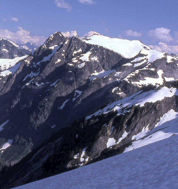
‘Settler Peak’
6944’ map / P404mean. Lidar: 6950′ / P392.
FA July 27, 1980
Thanks to Reed Tindall
Pioneer Ridge theme name. Same elevation on 15’ and 7.5 min map.
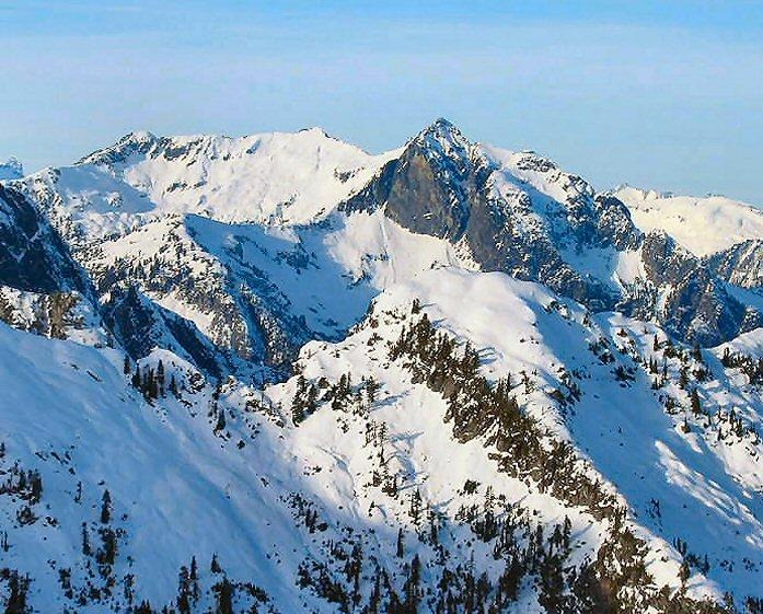
‘Iota’
7800+ / P120mn
FA July 29, 1980
Thanks to Reed Tindall, Stuart Ferguson, Peter Jewett
Iota at crosshairs on Map. Not on LoJ, PB, CAG. Just E of Swiss.
Iota is one of three minor pinnacles between Swiss and West Fury. It is pretty miniscule. When it was suggested that we climb this before doing Swiss Peak, Stuart Ferguson huffed, “That thing is not worth an iota.” No problems on ascent. Later the names ‘Lambda’ and ‘Upsilon’ were added to create the I-L-Y cluster.
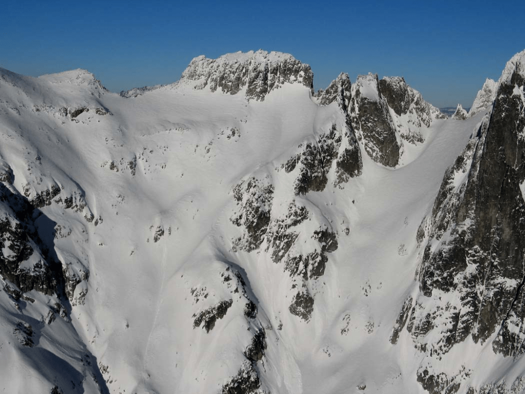
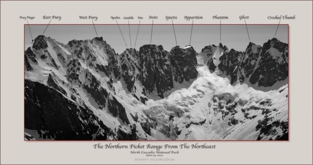
‘SPECTRE’
7953’ Lidar / P327 Lidar
FA July 29, 1980
Thanks to Peter Jewett, Reed Tindall, and Stuart Ferguson
Map on LoJ and PB. CAG+. Crosshairs centered on Spectre.
Most impressive wall on the south side of the Northern Pickets though the Full Mongo wins as a ridge. Peter led a short class 5 route from the north.

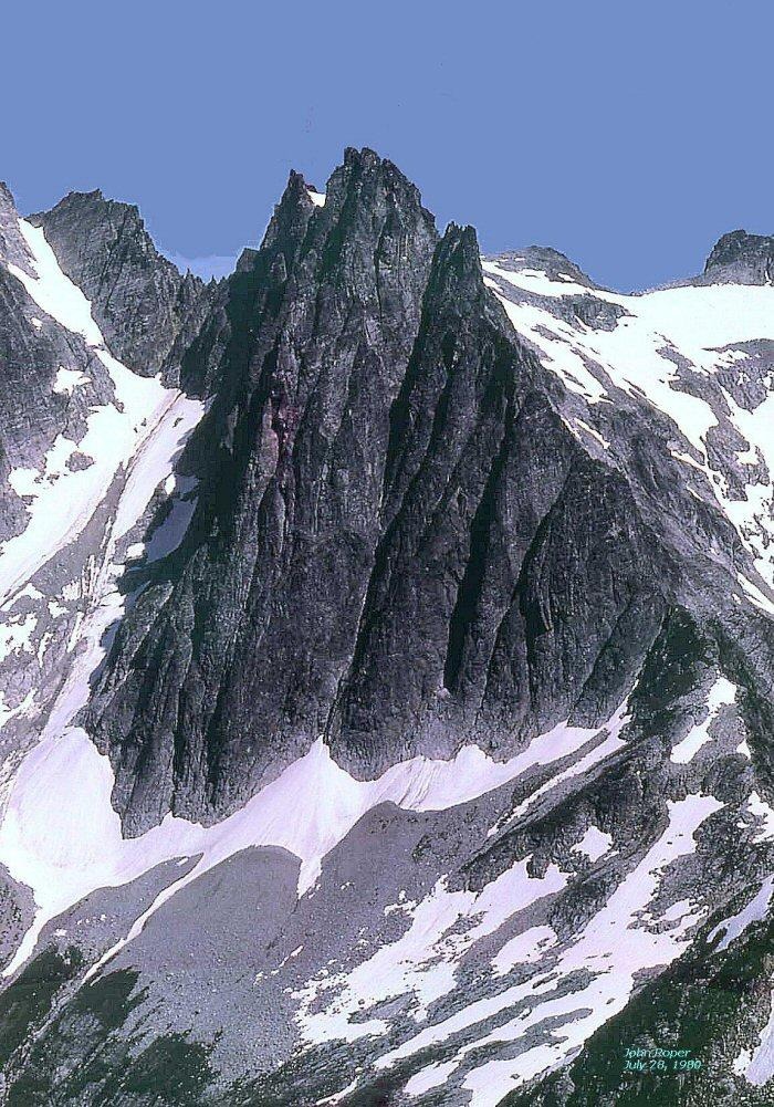
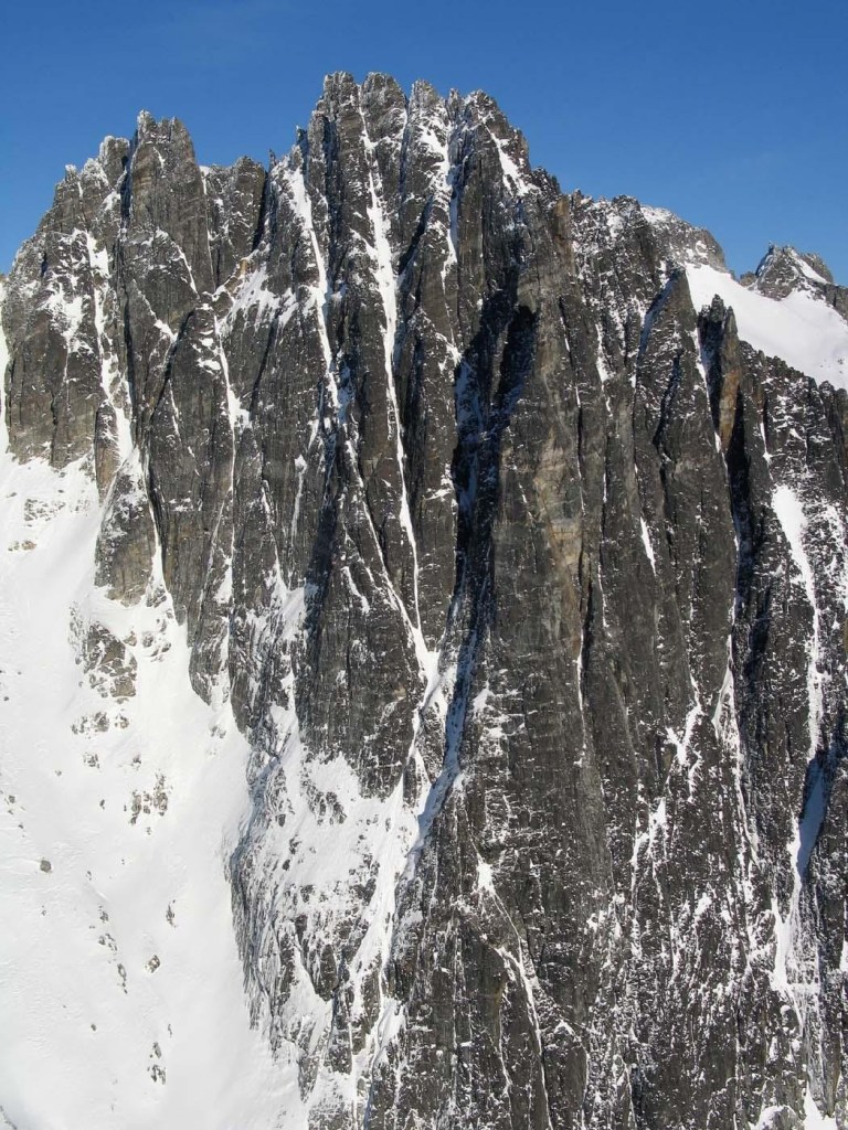
Somehow Mike Layton and Wayne Wallace conquered this monster via chimneys and on the main pillar on “Haunted Wall” Aug 14, 2006. See here.
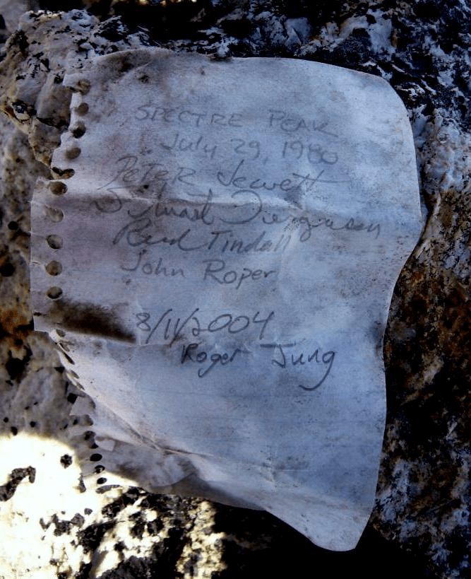
‘Apparition’
7880+
FA July 29, 1980
Thanks to Peter Jewett, Reed Tindall, and Stuart Ferguson
Crosshairs on map. Not in LoJ, PB, or CAG.
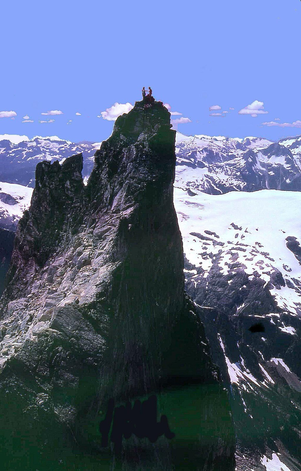
‘Thayers Nightmare’
Small summit between Swiss and ‘Apparition’
First climbed by the July 29, 1980 party. Name applied by Silas Wild on July 23, 1986 as he led a scary pitch up rotten rock from the Swiss-Phantom notch thinking of his newborn son.
‘Casper’
FA July 29, 1980 Spectre party. Vague white snowy bump on that date between Swiss and Apparition in the Ghost/Phantom theme.
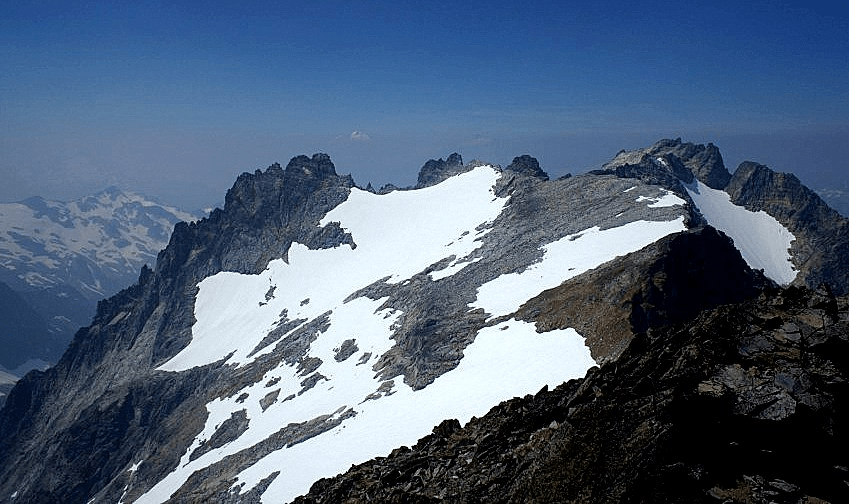
FA July 31, 1980
Thanks to Stuart Ferguson, and Peter Jewett
Peak at crosshairs PB. Not in LoJ or CAG.
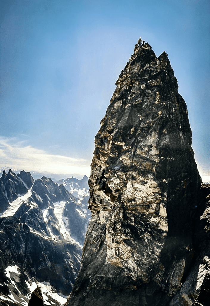
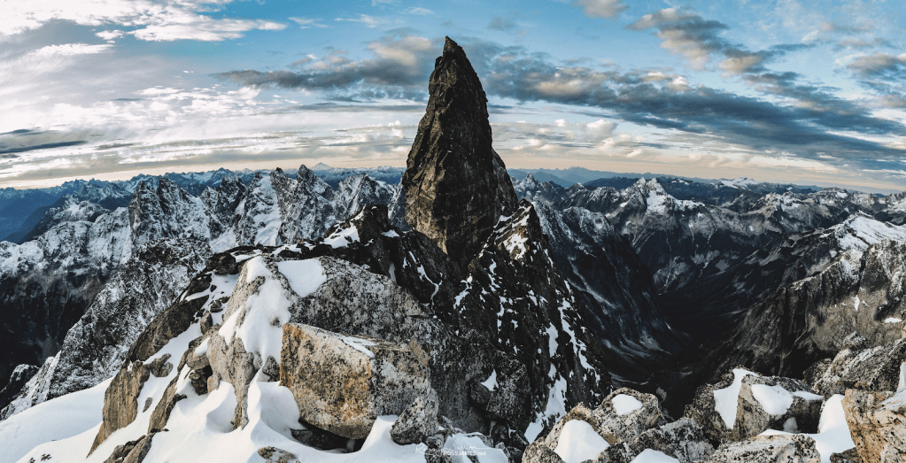
‘Basenji Spires’ N peak
7840+
FA July 31, 1980
Solo
Not in LoJ, PB, or CAG.
Couldn’t talk Reed, Stuart, or Peter into scrambling this with me.
Just south of Fury Finger. Looks like the perky upright ears of a basenji dog.

Helen Buttes, SW
5400+ / P320mn. Lidar: 5427′ / P355.
Nepa September 24, 1980
Solo
This peak was surely climbed before this late date, but the top was undisturbed. The higher NE summit had a small cairn, but no register. Curiously the higher 5560+ summit is not well-labeled on the 7.5’ USGS Marblemount quad. Approach was via the Cow Heaven trail with exit via Olson Lake and ridge north of Olson Creek.

‘THREE WIVES PEAK’
7450’ map / P730. Lidar: 7473′ / P762.
Nepa October 10, 1980
Solo
Still in search of my third and final wife at the time of my 1980 climb, while giving a nod to the previous two good ladies on this peak with three summits. Luckily found Karen in 1985 who still puts up with me. The north peak of this triple summit looks great from HW 20 between Rainy and Washington Passes.
The summit appeared undisturbed on October 10, 1980, but there was surveyor evidence marking the southern border of the North Cascades National Park just south of the high point, probably left via helicopter. Dan Sjolseth (who called it “Escape”) and Cliff Lawson likely made the legit FA in October 1974.
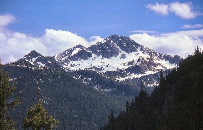
“REPULSE PEAK”
New Route October 18, 1980
Thanks to Russ Kroeker and Silas Wild

This was the first climb done by a trio assembled by Russ Kroeker that would spend many days exploring the mountains together over the next decade. Two weeks before this Repulse trip, Russ had just become the first person to finish the Bulger Top 100 Peaks atop Sinister Peak on October 4, 1980 with the strong support of Silas Wild. Earlier that year (June 1980) Russ had talked me into repeating Snowfield Peak so he could tick off that Big Boy. Now done with his Bulger obsession, he was ready to branch out to lesser known peaks, and agreed to climb a peak that looked mighty fine from the North Cascades Highway which opened in 1972. The Fireys had climbed the peak in 1971 from Silent Lakes (after running Ragged Ridge from Diablo Lake) and their son Alan had applied the name “Repulse” for the British war ship and the difficulty of their route.
Our route was from the highway through decent woods, eventually angling left of the impressive face, doing pull-ups on trees to surmount the cliff band on mid-left in above photo. We continued up to the south saddle, finishing up the hands-on south ridge.
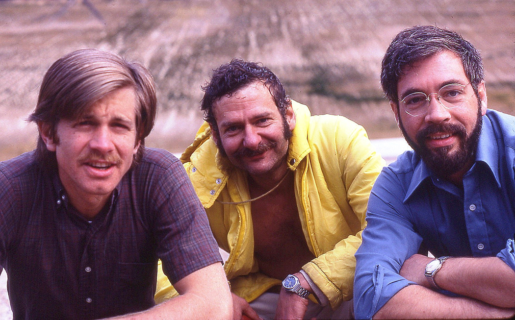
1981
‘The Supervisor’
6280+ / P120mn
USGS Damnation Peak
FA April 26, 1981
Thanks to Silas Wild
Summit at crosshair. Not on LoJ, PB, or CAG.
‘Electric Butte’ and ‘Logger Butte’ pay tribute to the main industries in the Upper Skagit. The names around Electric Butte honor the City Light powerhouse journeymen.
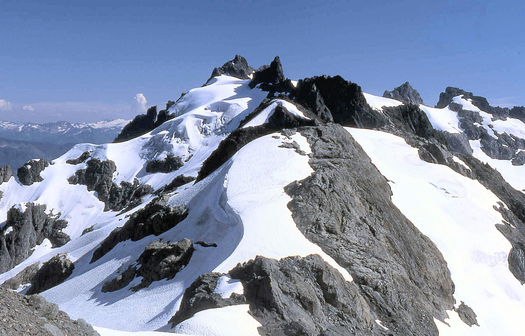
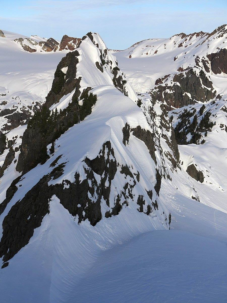
‘Wireman’
6080+
April 26, 1981
Thanks to Silas Wild
Summit at crosshairs. Not on LoJ, PB, or CAG.
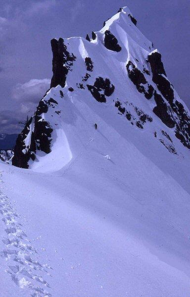
‘Senior Operator’
6040+
FA April 26, 1981
Thanks to Silas Wild
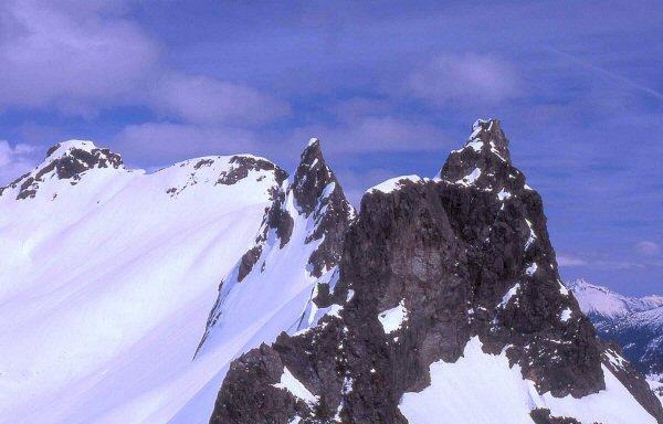
‘The Machinist’
5960+
FA April 26, 1981
Thanks to Silas Wild
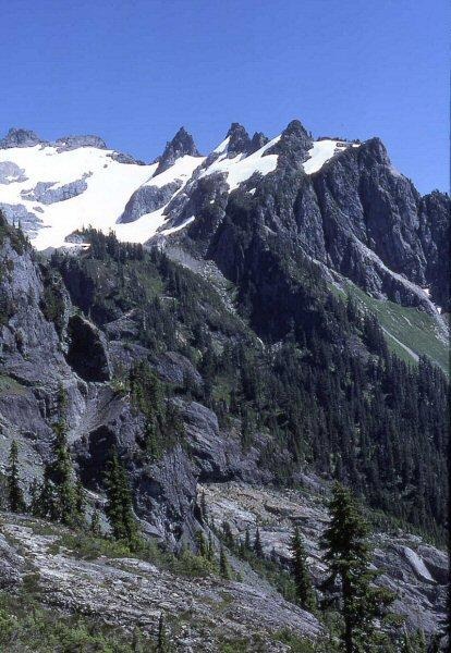
‘Styloid Peak’
6972’ map / P432mean. Lidar: 6995′ / P477.
FA May 31, 1981
Thanks to Charlie Janeway, Ted Hegg, Dave Stonington, Ron Aronoff, Don Avriett
Members of the Group Health Alpine Society (GHAS).
Reminiscent of the boney ulnar styloid process, resembling the stylus of a pen.
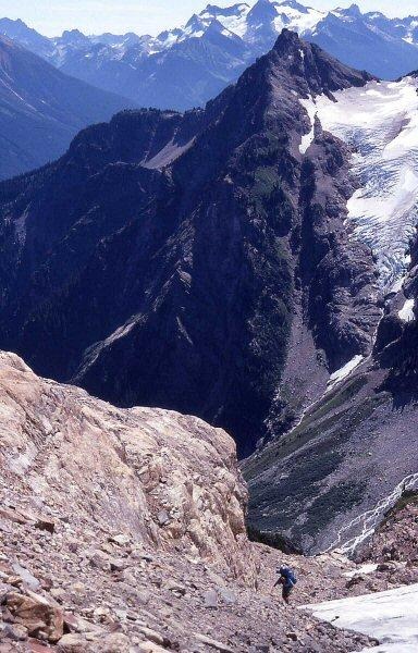
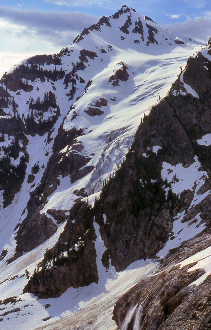
‘DISTAL PHALANX’
7645’ by Lidar / Lidar P587
FA May 31, 1981
Thanks to Dave Stonington, Charlie Janeway, Ted Hegg
This looks like the tip/last bone of a finger. It is W of and higher than Mantis 7614’, so the map is in error as it shows Distal Phalanx as the 7560+ contour. Not to overestimate the elevation by much, a foot was originally added to make 7615’ the estimated elevation. Lidar beats that.
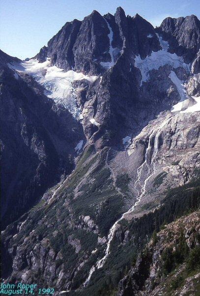
The full arête was completed on September 6, 2008 by John Frieh and Craig Gyselinck 5.10, A0 Grade IV. See here. “Mantis Peak” climbed by Stan and Marilyn Jensen on Aug 16,1973 is the lower twin summit, just left (east) in this photo.The map labels this eastern, lower, left summit as 7614′ and mistakes Distal Phalanx as only 7560+.
‘Hook of the Hamate’
FA May 31, 1981
JR solo
Map here

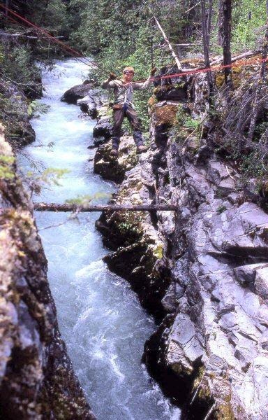
The hardest part on Styloid and Distal Phalanx was getting across Thunder Creek from the trail, then through a nasty section, ‘The Burn’ just beyond. The traverse was set up by rapping down to the log stuck in the canyon shown in this photo, crawling across, then climbing the class 4 right wall, and tying off for the shuttle.
‘TARA PEAK’
6723’ map / P643clean. Lidar: 6719′ / P663
FA July 3, 1981
Thanks to Gary Mellom
Every 4th of July holiday from 1966 on for 40 years, my Newhalem climbing buddy, Gary Mellom and I headed to the mountains. In 1981 on our 16th annual outing, we climbed this peak on a Green Mountain/Buckindy to Snowking traverse. As we stood atop this previously untouched summit in the heart of the North Cascades, we had happy thoughts about Gary being a new father of a daughter, born January 13, 1981. Gary’s wife Corky related that she thought Tara was a great name for the daughter of a dad that loved mountains as much as Gary did, since in Celtic “Tara” meant “mountain crag.” Tara is also a powerful female deity in the Buddhist pantheon. Her name means “star” in Sanskrit and she is believed to possess the ability to guide followers, like a star on their path to enlightenment.
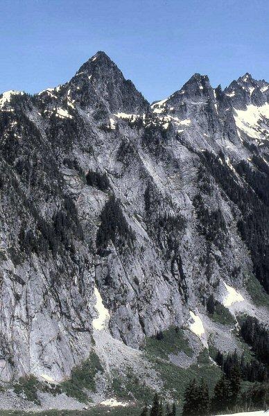
‘Dirk Peak’
7680+ map / P280mn. Lidar: 7698′ / P 264.
FA July 11, 1981
Thanks to John Burroughs
Map on LoJ and PB. CAG+ small print.
So named for its location between Stiletto Peak and Dagger Lake in the knife theme. CAG records our ‘Dirk’ as “Jackknife” and ‘Big Stiletto’ as “Switchblade.” The alternates may have been Dallas Kloke’s names. Beckey miscredits us with FA on 7805 (Big Stiletto/Switchblade) which was climbed with Gwendy Stuart on June 21, 1980.
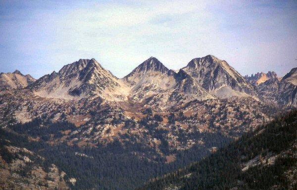
John Scurlock photo of Dirk and Big Stiletto on Dec 15, 2005.
‘Devils Toothpick’
7720+ / P160mn
FA July 27, 1981
Thanks to Jim Lucke and Silas Wild
Map on LoJ and PB. In CAG in small print under Devils Tongue.

Devils Toothpick was first attempted in 1970 with Chris Roper and Tom King, rowing across Ross Lake from Hozomeen campground, then thrashing up Silver Creek and its imposing nearly 3000-foot headwall to Silver Lake. We got to the V-notch in the photo below at the base of the rock climb of the tower, but ran out of time.
Reed Tindall, Greg Rice and I walked by the Toothpick in 1971 using the same Silver Creek approach into (and out of) bigger prizes in the Chilliwacks.
In 1981, Jim Lucke and I motored up Ross Lake on the water taxi, ran the ridge north of Silver Creek, climbed Devils Tongue, then dropped beneath cliffs to Silver Lake. Here we met Silas Wild who had come in via Depot Creek. Our route from the lake ascended to the notch (‘Almost Canada Col’) reached in 1970, then took the path of least resistance, a rightward slant up that west face. Three pitches, the first two easy 5, then a final class 4 pitch.
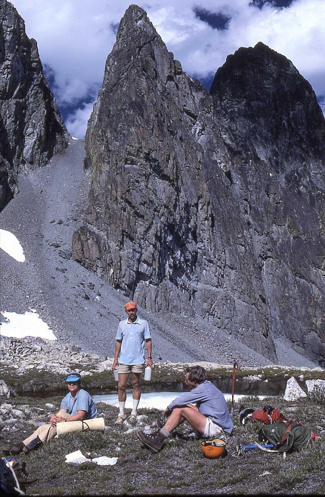
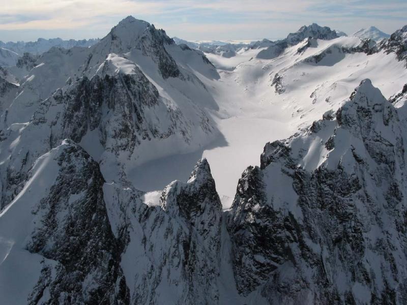
John Scurlock .photo
‘Small Mox’
8280+
FA July 28, 1981
Thanks to Silas Wild
Summit at crosshair WNW of NW/Easy Mox
Not on LoJ, PB, CAG.
Class 3+ from north.
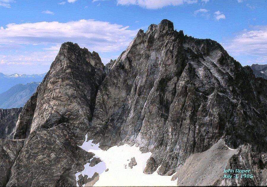

‘The Sacrum’
7148’ map / P248mn. Lidar: 7156′ / P266.
FA August 15, 1981
Thanks to Russ Kroeker, Silas Wild
Short class 4-5 climb from west saddle with ‘The Coccyx.’
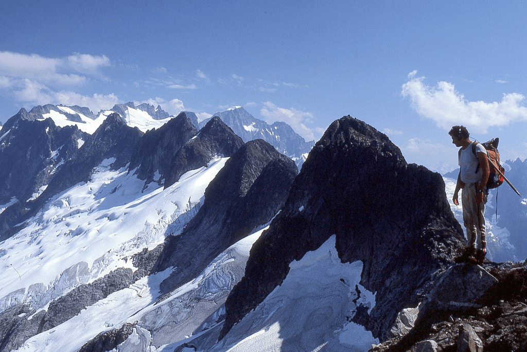
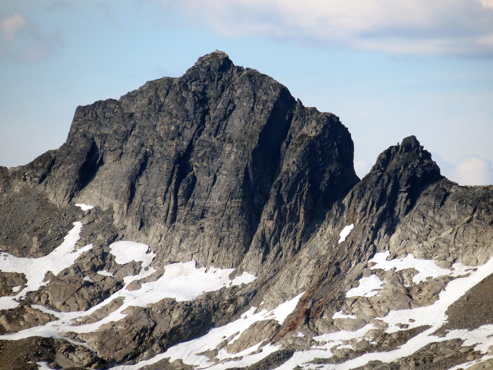
‘Pancake Pinnacle’
7080+ P120mn
Nepa August 15, 1981
With Silas Wild, Russ Kroeker
Flat as my mother’s blueberry pancakes. Silas, Russ, and I found no evidence of previous ascent atop, but Matt Perkins, a trustworthy mountain man alerted me that he was in a party that “accidentally” beat us to this one in 1977. So be it.
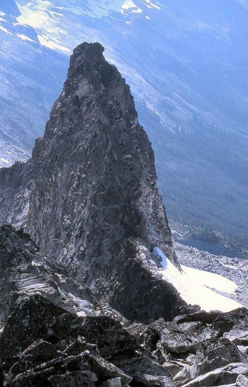
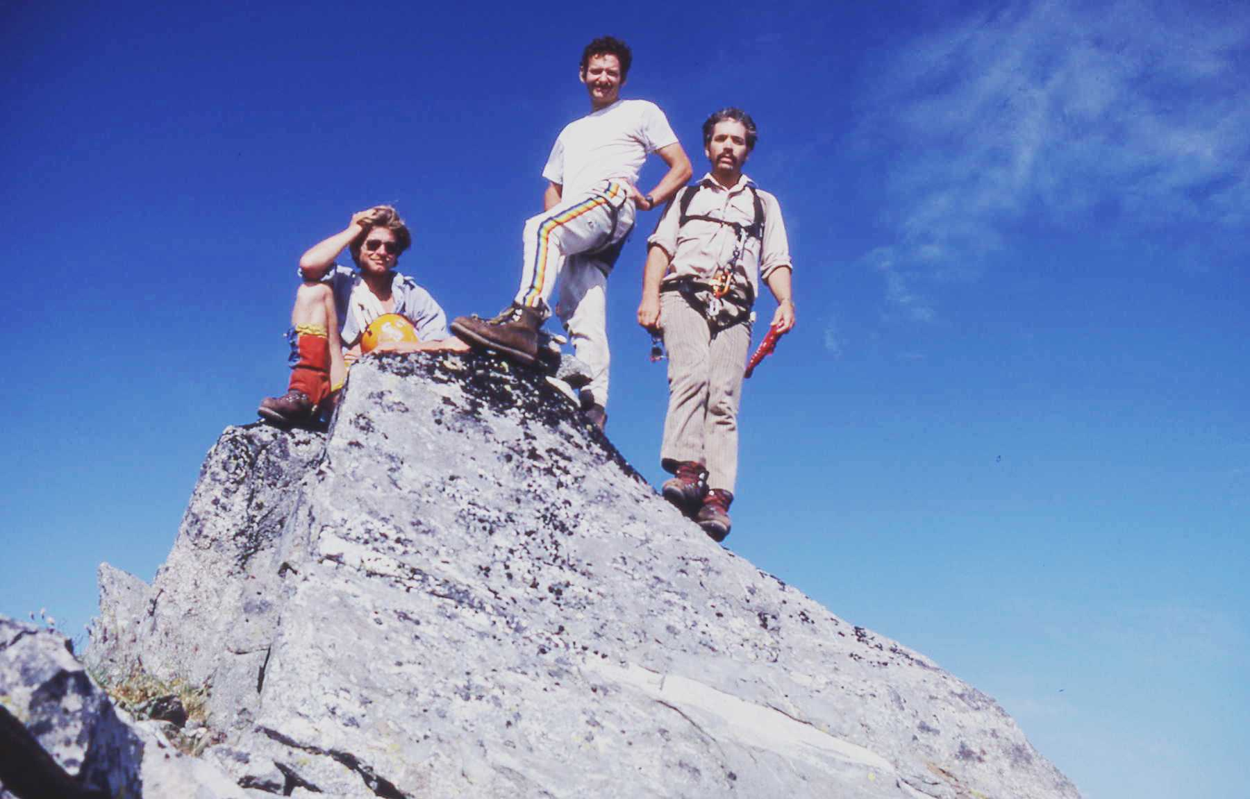
‘Hoot Owl’ South Peak
7960+
FA August 23, 1981
Solo
Via slightly sketchy traverse around NW side of Peak 8395 “Black Stacks” from its saddle with Black.
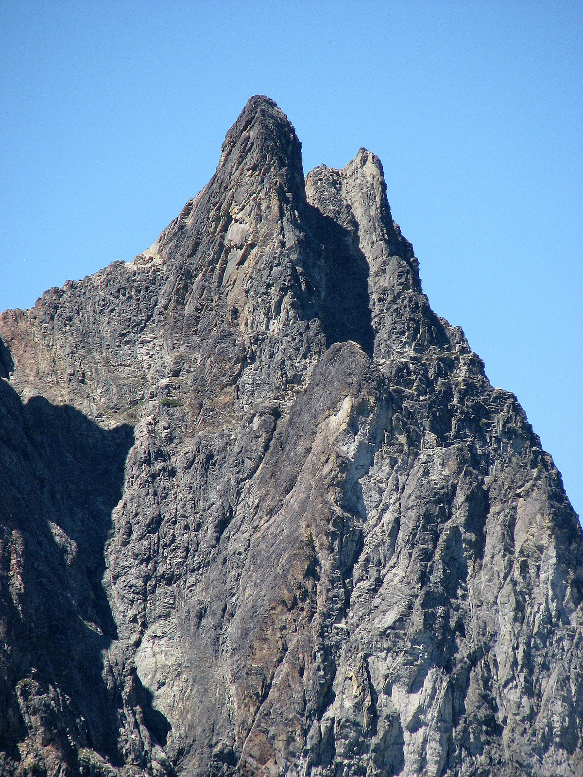
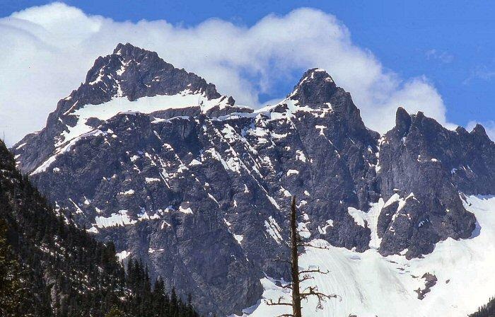
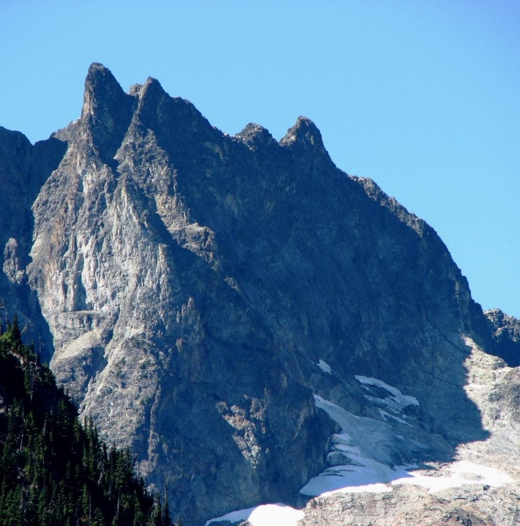
‘Hoot Owl’ North Peak
7020+ Minimal prominence
FA August 23, 1981
Solo
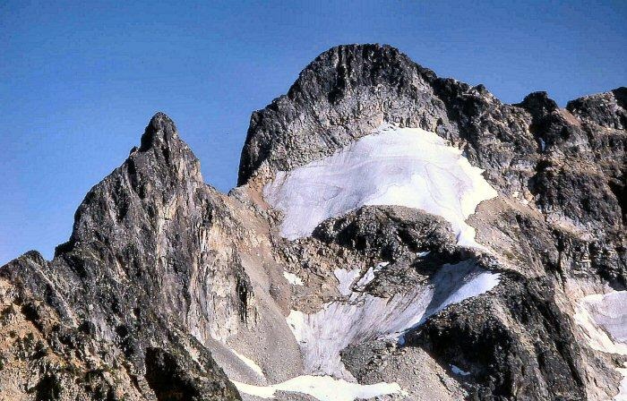
The route was around the right side of the rounded ‘Black Stacks’ in this photo (where the rock looked like thin layers of black vinyl 78-records stacked atop each other). The traverse on hard snow to the U-saddle was a little sketchy without crampons. Hoot Owl, North from Black
West Twin Needle, New Route
7936’ on map. Lidar 7927′ / P560
NR August 31, 1981
Thanks to Russ Kroeker
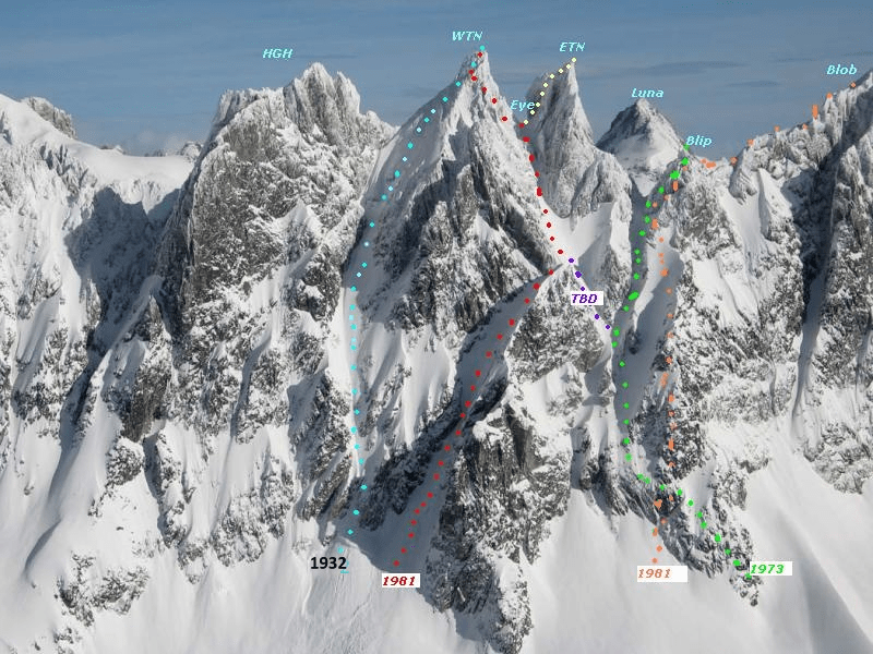
HGH: Himmelgeisterhorn, WTN: West Twin Needle, ETN: East Twin Needle. Eye Col. Red line was our 1981 NR over a chockstone problem. 1932 was the original FA line by Herb Strandberg, Bill Degenhardt, James Martin. Silas, Russ, and I repeated their route on Sep 8, 1981 to WTN then on to ‘Eye Col’ and ETN. Green route was 1973 FA of ‘The Blip’ with Gary Mellom and Jim Lucke. Orange route was possible NR/new route and 2A/second ascent of “The Blob” via its W ridge on Sep 7, 1981 with Russ and Silas after doing the 2nd Ascent of ‘The Blip.’
‘THE WILD HAIR CRACK’
“Himmelgeisterhorn” New Route
NR September 6, 1981
Thanks to Silas Wild and Russ Kroeker with FA of ‘Himmel Point’
FA of HGH was on Sep 8, 1961 by Joe and Joan Firey, Glen Denny, Ed Cooper.
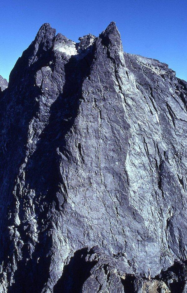
Himmelgeisterhorn is one of 20 or so major and minor pinnacles on the west end of the Southern Pickets, a picket fence of 8000-foot rocky gneiss spikes in the North Cascades. This is mighty fine, mighty tough country, probably the best the lower US has to offer.
In August 1976, four years before I met him, my fanatic friend to be, Silas Wild was in the Southern Pickets, 7 miles north of Newhalem where I grew up, in the heart of the North Cascades National Park. From the top of Ottohorn, the westernmost high peak on the picket fence, Silas spotted a beautiful line up the west face of neighboring Himmelgeisterhorn.
It was a classic crack in the North Cascades, probably the best crack climb in the Pickets, a vertical gash that split this side of “Himmel” in two. Silas was anxious to try the route the first day he saw it, but Barbara, his wife and partner then knew they didn’t have enough hardware or time. And he reluctantly agreed. So Silas photographed it, and went home to dream.
When “Red Fred,” the Cascade Alpine Guide to this area came out in 1981, the route was clearly exposed in a crisp photograph on page 92 by fellow Picket lover, David Knudson. Silas panicked that someone else would spot his route and beat him to it. He enlisted support from Russ Kroeker and myself even before the ’81 summer began.
Russ and I agreed that this was a great-looking climb, and we wanted to take a first-hand look at it, but it struck me that this was a technical project that was probably out of our league by such a leap that I felt that Silas had a wild hair up an unsunny spot if he thought we could succeed on it. So we came to call his route “The Wild Hair Crack.”
***
During a spell of bad weather in early July 1981, Silas snuck off for an attempt on the route with Lee Gibbon, a tightly-coiled, powerfully-built rock jock. I forget what Russ and I were up to then, but we were not invited. Silas and Lee went after the “Wild Hair” without us, holing up on the way in at a small fir grove in what Joan Firey called “Stump Hollow,” under “The Stump” (shown as Pinnacle Peak on USGS Mount Challenger), waiting out the rain with only a small plastic tarp for protection.
Through the clouds, they wandered out of Stump Hollow into the Crescent Creek Cirque the following day. It’s hard to lose the way, even in stormy weather. Simply keep the big rock wall on your right. The problem is that when you can’t see the tops of the peaks, it’s hard to know where you are along that wall. Which of the many steep gullies should you go up? Silas and Lee went one gully past the proper chute up Himmel-Otto Couloir and thus chanced on a new, still unreported route up Ottohorn, via one of its south gullies over some steep heather. “Not so hard,” Silas said afterwards. That doesn’t always mean it isn’t.
The Otto-Himmel Col was socked-in city when they descended from Ottohorn to start their try on the Wild Hair Crack. Silas chose the left of two parallel fracture lines cutting the lower third of the face. He led the 150-foot pitch with some 5.2 moves (he says). Lee came up and tackled the next vertical section that looked to be the crux. The crack swirled away into the clouds up a narrow chimney that Lee judged to be very difficult, “probably 5.9.” They wisely opted to abort, rapped off, and beat a wet retreat home.
Silas’ stories soared. But Russ and I were a little sore too, since it was openly known that we wanted to be included on this climb.
***
The next attempt on the Wild Hair Crack was to begin August 30, 1981. This time all four of us would go, Silas, Lee, Russ, and myself. I had August 29th off as well and decided to use the day clawing my way into the Pickets alone at a casual pace. A race up The Barrier with these guys was not something I’d enjoy. And the last time I’d been out with this gang on Bowan, it was definitely race time.
So I lazed my lonely way up The Barrier in what felt like good time to me, recording the legs on my old, well-worn 15-minute Mount Challenger map:
8/29/81
1:15 to Over and Up Creek, 1600′
:40 to Terror Creek, 1800′
1:20 to Barrier Crest, 3550′
1:30 to 5340, where I camped, under The Stump.
It started to rain that night and I woke up the next morning to lousy visibility. This was the day the others would make their approach. To make a long story short, Russ made it in, but Silas and Lee, who’d had enough of the Wild Hair in bad weather, bet with the weathermen that it was going to stay bad and went back home after driving to the Goodell Creek trailhead.
Russ and I connected in Crescent Creek Cirque where I’d moved camp to pitch my tent on a giant, flattish, but tilted boulder. We had one partially “good” day in the Pickets, doing the West Twin Needle by a new route up the couloir that threaded the East and West Twin Needles to “Eye Col.”
On the rappel down, the rain began in earnest and continued heavy for 17 non-stop hours after we crawled into my green Gore-Tex Early Winters tent. I awoke in the dark to wet feet and shined my headlamp to the foot of the tent to see a pool of water in the downhill corner. Taking out my Camp-King knife, I stabbed a hole in the floor at the lowest point, releasing a liter of liquid.
***
Since Silas had not invited us along on his last attempt on The Wild Hair Crack, we decided to play a little joke on him when we got home. It was agreed that whoever talked to Silas first would tell him we had done the Wild Hair on our one good weather day and, just as he’d said, the lower section was 5.2, but the upper crack was a little easier than predicted, 5.7, and quite nice, really–thanks for the idea.
The second of us would then call (or be called by) Silas and would get to hear him lament his decision not to go, then break it to him that we really hadn’t done his route, and for crying out loud, don’t leave us behind the next time.
Well, as it turned out, Silas got hold of me at work first, catching me between patients. I broke the fanciful “story” of our Wild Hair climb detailing every handhold, and you could almost hear his heart break. Here was the best climb he’d ever seen, or discovered, anyway. He’d fantasized about it for years. He’d given it a solid shot and had failed. And then suddenly it was “done,” just the way he knew it could go, but by someone else.
He told me later that the way he felt when I told him this news was the way he felt when Barbara told him she was leaving him. These were the two worst moments in his life.
Silas then tried to call Russ, but he was at a long meeting and unavailable. So sadly, Silas spent the rest of the day not knowing the truth and feeling quite bad. So sad did he sound when he called me back in the middle of the afternoon and told me he hadn’t reached Russ yet, I had to break down and tell him the truth. A ton lifted from his heart. The boy giggled and bubbled with jubilation and we planned our next try.
September 5, 1981. So it was with plenty of enthusiasm that the three of us trekked up Goodell Creek on the way to the Wild Hair on a great-looking Labor Day Weekend. Silas dreaded the Barrier route in, but when I rattled off my Barrier time numbers, “One hour 15 minutes to Over and Up Creek, 40 minutes to Terror Creek, then only 1 hour 20 minutes to the top of Barrier Flat…and less than 7 hours to Stump Col,” his face lit up.
As it turned out, these were the exact times recorded for our trip in this day as well, except that the usually brisk Silas burned out under the weight of a heavy pack in Stump Hollow and came straggling over the gneiss meadow up to Stump Col, the pass into Crescent Creek, about a half hour behind us. 6 hours 45 minutes to here. Clouds gripped the upper reaches of the Crescent Creek Spires in not unusual fashion.
We dropped into the Crescent Creek Cirque then angled for Rock Camp at 6150 where Russ and I had slept the week before. Russ dug up some food he’d buried here. From Rock Camp we contoured towards Himmel Camp with Silas and me in a full-pack, dead-run race across the talus. The sight was so startlingly amusing to Russ, he later told us, that he burst out laughing and lost large sphincter control. He then lost several minutes on us as he cleaned up.
Himmel Camp was reached in a total of 9 hours 45 minutes from the car, counting 2 hours plus of rests on the way in. So less than 8 hours of moving. It took a little over one hour from Stump Col to Himmel Camp, a flat spot at the 6000-foot level under the south wall of Himmelgeisterhorn.
Silas and I kicked out a platform in the snow for my green Light Dimensions tent. Russ did some minor excavation work for his yellow one-man Pocket Hotel. We retired in anticipation of the next day, which dawned cloudless.
September 6, 1981. The Himmel-Otto Couloir certainly was more difficult at the end of the season than it had been coming down on August 1, 1980, even though I’d taken a tumble in it then, requiring a self-arrest to stop. The snow was quite hard and step kicking was a chore. We had to swing into the moat between the rock and snow to get around a couple of breaks. Russ couldn’t believe it when I told him we’d descended this facing out the last time down.
Today we were carrying a ton of hardware, two 150-foot, 9-mm ropes, and bivy gear with the idea we would lay a siege on the Wild Hair Crack. My old Penberthy aluminum-frame pack banged on the rock as we bypassed the upper chockstones on the left over some broken gneiss. It was still shady at the Himmel-Otto Col when we arrived, adding to the scary air.
Russ mounted up the gear, trying to look strong under the weight. Silas laughed that, “He looks like the 6-Million Dollar Man.” And he did indeed, draped as he was with two nearly full sets of ten “Friends” (two each of Numbers 1, 2, 2 1/2, 3, and 4) as well as a good assortment of chocks. Silas put him on belay while I clambered up Ottohorn a ways to get a head on shot of his lead.
We had decided to go up the right of the twin lower cracks, primarily because it was the crack that connects all the way up the face. Even though the left crack at first glance suggests a straighter line, it has a blank spot and doesn’t connect to the upper crack. Besides, Silas had already done the left crack and we were into doing a “totally new route.”
The happy sounds from Russ were even more exuberant than usual as he led his pitch.
“God, what a great jug (large handhold)!”
“You’re going to love this Silas, and the Doc’s going love this exposure.” (“The Doc”-me-hates exposure.)
“Oh, fantastic bucket over here. This stuff is bombproof. It’s all here. Wait ’til you see this placement. What a great route! I’m going into a cave to belay you. You’ll never get me out of here.”
I fired away with my Olympus camera, recording his progress up the crack.
Silas flashed up the crack with his own style of enthusiasm. They both had on their “EB” rock-dancing shoes, and I wondered if my clumsy big leather climbing boots would keep me from doing this thing. Silas moved by Russ, then Russ set a top belay for my ascent.
My mouth was a dry even after a half pint of Wyler’s and it was not with a lot of joy that I grabbed for my first handhold. The start of this pitch was the worst. “Keep it tight!” I yelled up.
“Gotcha!” Russ yelled back. I was just a few feet off the ground when my Vibram sole slipped off its puny toehold perch, as I was reaching for a higher handhold. I skidded down three feet just from the stretch in the rope. No damage, except to my confidence.
“That you, Doc?” inquired Russ. “I think I had a bite there, Silas.”
Trying not to think about it, I promptly gathered myself up and moved along quite well over the rest of the pitch. It had several spots where the crack was deep enough, and had good enough platforms, that I could hide from the exposure. I reached Russ to find him lowered chest-deep into the crack just before the vertical upper section. This route had character!
Silas was just finishing getting all the gear on as I pulled up. Russ took me off belay and turned his grip to the rope connecting him with Silas while I swung my daypack around to grab my camera. (I take my camera off my chest for rock climbs because it pushes me away from the rock, disturbing balance on thin moves.)
Frenzelspitz looked fantastic from here. The morning light on the brown rock of Fury made that mountain look warm and friendly, especially compared to the vertical shade of this crack on Himmel.
The sound of a series of deep breaths, followed by the sound of nervous exhalation through pursed lips took my gaze off the scenery and fixed it on Silas as he pumped himself up for the next lead.
“Sounds like this is definitely whistle-worthy,” I chuckled.

Silas’ trademark was to make these whistle-wooshing sounds when his comfort level edged in on his anxiety limit. He entered the vertical crack facing in, with his left leg and thigh wedged in the crack as his right leg carefully pawed for the next boosting foothold. Once the foothold was located, he would slowly, cautiously, raise his body and jam his left knee into a higher portion of the crack.
“Put in some pro, for Christ’s sake,” shouted Russ. “You’re 30 feet out. I’m going to have trouble holding you if you go!”
“I’m aware of that. There’s just nothing here. Just keep quiet, I’m working the problem,” Silas replied.
“There, finally, there’s a little crack here. Whew! I’m putting a stopper in. It’s not much, but it’s something. Ah, and here’s a spot for a number 2 Friend. Boy, that was great! Child’s play. No problem.”
“It didn’t look like ‘no problem’ to me,” I remarked.
Silas then moved smoothly and steadily over the rest of his lead to a belay point. “This next pitch looks easy enough for the doctor to lead. I’ll tie in and bring you up to me.”
The crux of The Wild Hair Crack, which Silas had just led, was a pure delight with a taut top rope. The wall on the left (north) side of the crack was offset out from the right side by about 9-12 inches. The crack itself was about a foot wide and close enough to vertical for me. It was just big enough to get my left butt cheek and thigh into, and squeezed me so tightly that I could hold my entire weight on friction by contracting these muscles.
In Santa Claus fashion, I wiggled my way up the chimney, impressed that Silas would extend himself to doing it with no initial protection. I climbed by Silas as the sun came onto the face and threw a sling around a good horn and clipped in. Russ was happy to be moving again, having waited in his hole for four pitches, two by each of us, and made many more excited noises as he went through his moves to join us.
“Great lead, Silage,” he commended.
My lead was half a rope length and not so hard, class 4, at the most, though I put in a Friend or two just for the practice. The crack led me to the left side of the face, from where I could see a decent route into the gully the Fireys had climbed on the NW side of the mountain on the first ascent of the peak in 1961. I knew we could make it and shouted back my discovery.
When Silas scampered up to my position and surveyed the situation, he pointed out that we would be bailing off the classic route if we went into the gully. The clean line laid back out on the face for another easy-5 rock pitch to the western tip on Himmel, which Silas accomplished in his usual smooth fashion. (Unfortunately, when Fred Beckey re-did his red book, he had us bailing off the classic line (on page 110), instead of going out on the face to the Himmel “subpoint,” which we did.
This done, we knew success was at hand. We grabbed rope coils and walked over to the last short lead up the summit cone. We had done the Wild Hair. We were pretty high. It was the third ascent of the peak, the first being in 1961, then repeated by Joan and Carla Firey with Dave Knudson and Peter Renz in 1970, up the original route. This was a good feather in our hardhats.
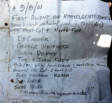
Trying to decifer the word, “Himmelgeisterhorn,” before we did the climb, I went to my Cassell’s German-English dictionary. A decent translation would be: “The Horn of the Sky Spirit.”
Among the other German words that started with “himmel-” was “himmelfahrtskommando,” which means “Going-for-the-Sky Squad,” or more somberly, “the death or glory squad.”
For this route on this peak, we felt this word was the perfect name for our threesome. On this climb we became the Himmelfahrtskommando, or HFK for short. We decided that this would be our three-person club with no dues, and no indoor meetings. There would be no new members unless one of the members dropped off the roster.
Beckey tried to change Firey’s original terminology by shortening the name to Himmelhorn in his red book, which takes the “spirit” (geister) out of the original name.
We surveyed the route down to Dusseldorferspitz on the east ridge of Himmel, and decided this spectacular hook was not necessary to do. It appears to be a clean exercise over solid rock, but somehow failed to inspire.
We did three 150-foot rappels off the west face, setting the anchors at the tops of the pitches. It was two raps down to the top of the high point reached by Silas and Lee in July, and we used their sling for the last anchor.
We scrambled up Ottohorn next. From here, The Wild Hair Crack, in the afternoon sun, cut a mighty pretty line up the face of Himmel. This is the best climb I’ve done in the North Cascades, or anywhere.
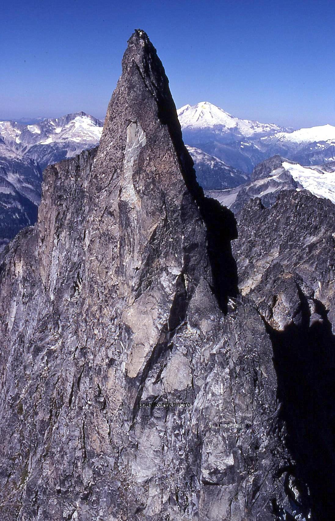
‘Derci Spire’
8038′ Lidar / P230 Lidar
FA September 14, 1981
Thanks to Mark Allaback
Just NW of Arriva. Arrivederci is Italian for “goodbye,” “until we meet again.” We summited after circling around the SW side of Arriva.
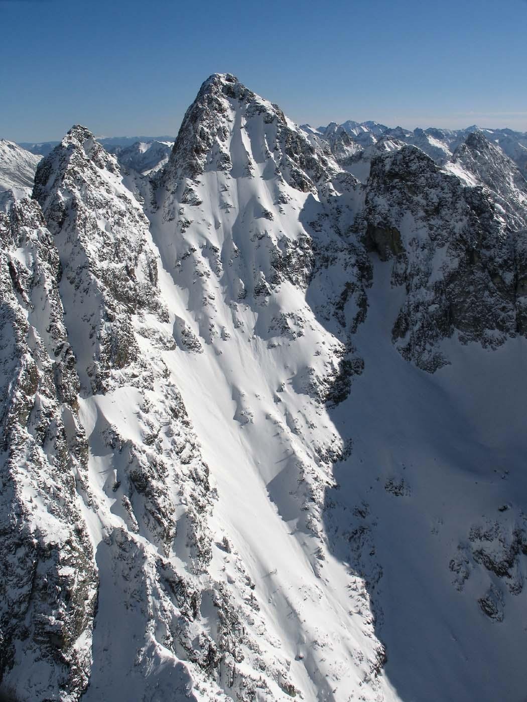
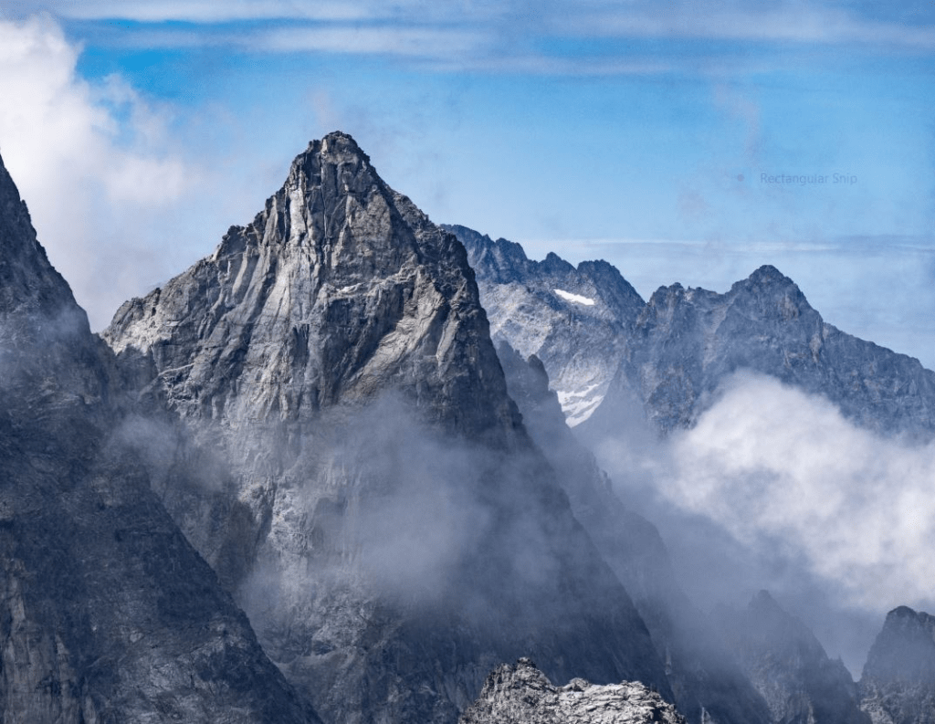
‘Obsession Spire’
7360+ / P200mean
FA September 14, 1981
Thanks to Mark Allaback
Summit at crosshair. Not on LoJ, PB, CAG. This is a subsummit just north of “Meulfire.”
We were obsessed, as was Roger Jung who later told me he found our register atop. We finished on the SW slope.
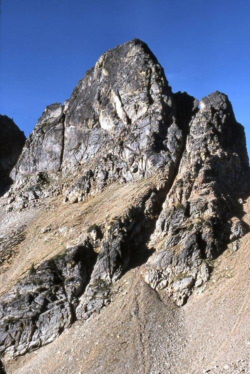
‘NATAL PEAK’
7843 Lidar/ P864 Lidar
FRA First Recorded Ascent September 15, 1981
Thanks to Mark Allaback (on his 20th birthday)
Climbed via NW ridge with some class 5 moves, likely a new route on a peak that had a probable cairn with no register.
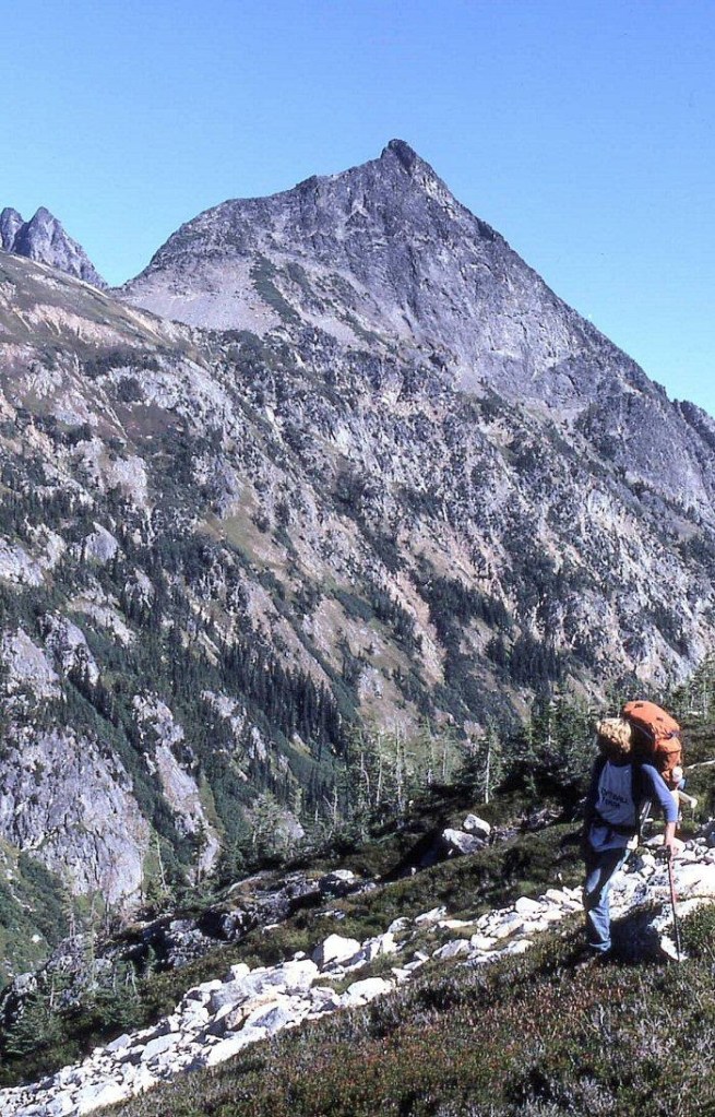
‘Zebra Spire’
FA September 17, 1981
Thanks to Mark Allaback
Not on LoJ or PB. CAG gives a faint hint.
Named for its striped-rock formation. Climbed via SE face by a class 5 pitch from Wyeth Glacier.

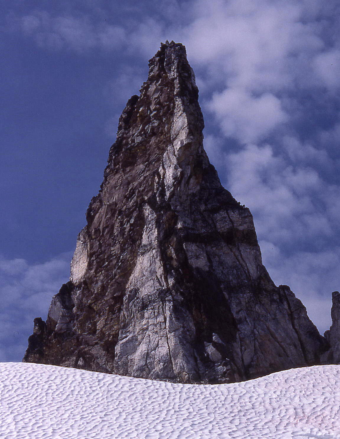
‘Butter Stick’
Yellow, cubic tower that looks like a butter stick. NBC as of 2025.
Noted Sep 17, 1981.
Above Wyeth Glacier
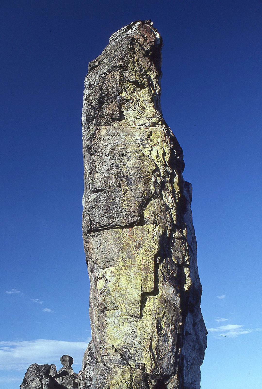
‘V Peak’
8000+ map / P200mn. Lidar: 7990′ / P194.
FA September 17, 1981
Thanks to Mark Allaback
Named for the “V” notch on the east ridge which reminded me of the way my mother Virginia signed her name in cursive. Approached from Wyeth Glacier from SE via an exposed ledge east of 7945 after climbing Zebra Spire. We descended west to Thunder Creek.
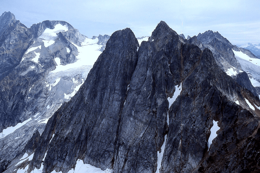
Carla Firey and Jim McCarthy climbed the lower east summit of V Peak in the 70’s up the good-looking left buttress, returning to camp after accomplishing their goal.
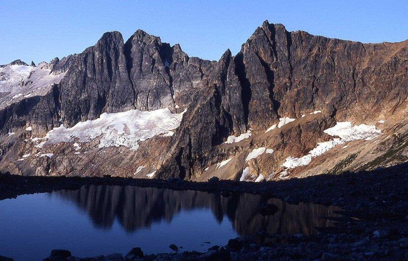
‘Ezekiel’
7521′ map/ P401clean. Lidar: 7523′ / P392.
FA/Nepa October 25, 1981
Solo with no evidence of previous ascent.
Map on LoJ and PB. Not in CAG.
East-most summit on Elija Ridge. This name was in keeping with earlier names now on the maps placed by religious fanatic Tommy Rowland following his Prophet, Gabriel, and Elija theme.
In Judaism, Christianity, and Islam, Ezekiel is acknowledged as a Hebrew prophet.
Climbed via a walk up the SE slope on the way to the 7739-foot high point of Elija Ridge.
1982
‘Blink Mountain’
6766’ map / P406clean on map. Lidar: 6775′ / P387.
FA May 30, 1982
Solo with uninterested support from Rapid Peak gang.
Map on LoJ and PB. Not in CAG.
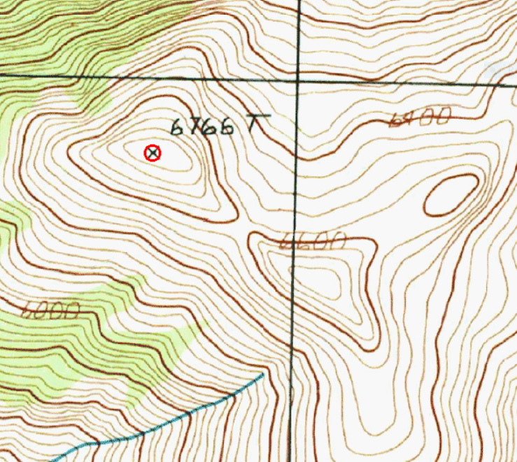
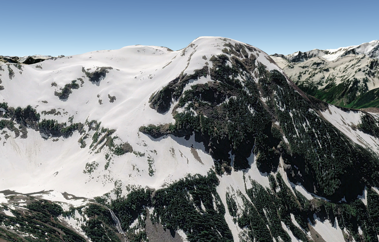
“RAPID PEAK”
7270′ Lidar / Big P1454 Lidar
FFA May 30, 1982. First foot ascent.
Thanks to Russ Kroeker, David Stonington, Ron Aronoff, Reed Tindall
Geologist Rowland Tabor named this peak above Rapid Creek on his helicopter-assisted ascent in August 1967. Ours was the first full hiking climb from the car at Chilliwack Lake to Copper Mountain trail to the ridge above Little Chilliwack River, when the trails were maintained.
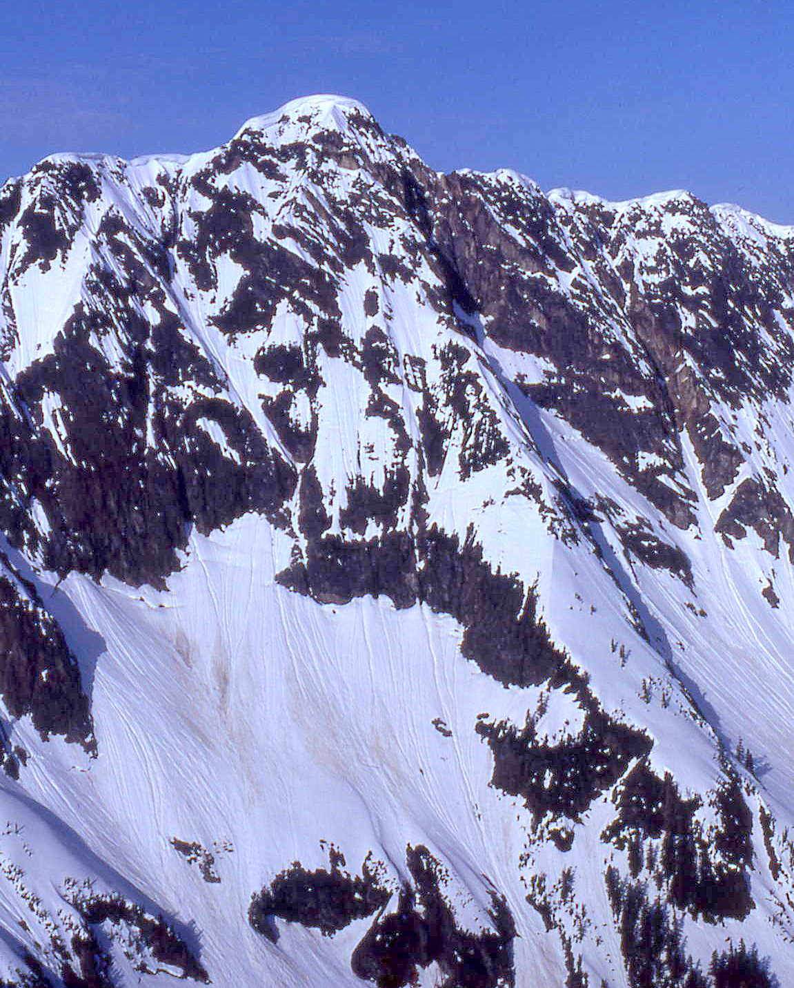
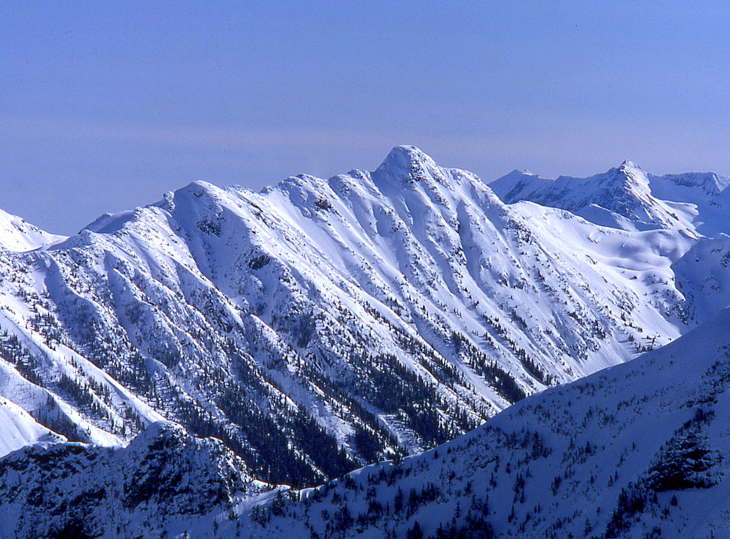
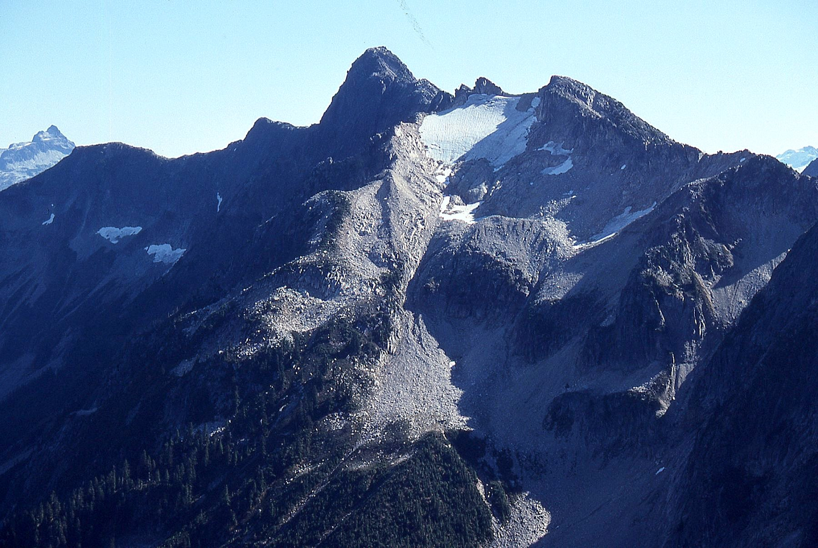
‘Fallen Angel’
6888′ Lidar / P176 Lidar
The highest contour on the 7.5’ USGS Big Devil map is missing.
FA June 19, 1982
Thanks to Russ Kroeker and Silas Wild
Maps and links at LoJ and PB. CAG+
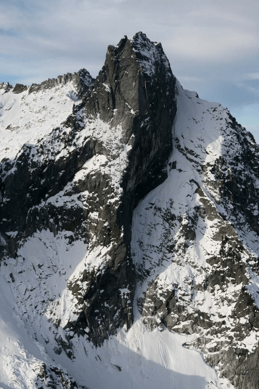
Eric Wehrly and Chris Mutzel climbed this in 2016, “Acting like they were having fun” (1,000’, III 5.10+).
This summit lies between Big Devil Peak and Little Devil Peak, so this name plays off those devil names and was also a joking reference to climbing friends Suzanne S and Sue B. The “Fallen” reference also relates to an event on our FA climb in 1982. As I was leading up the snow finger (lower right in photo below), it broke in half and collapsed with me surfing down on the lower half. As I was tumbling I was able to kick out and land safely on the snowfield below with my ice ax going into a moat between the snow and rock but could be seen and retrieved with a rappel. Afterwards, I sent my rock-jock buddies ahead to place protection and give a safe belay to the top.
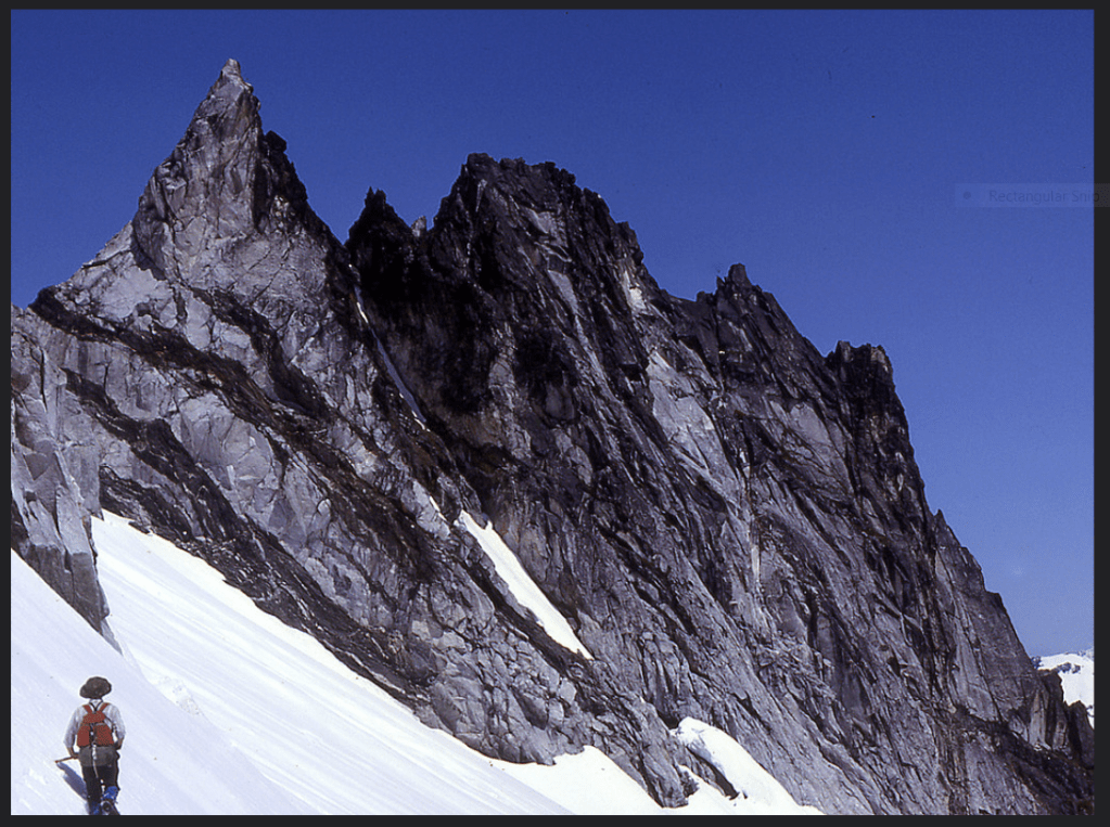
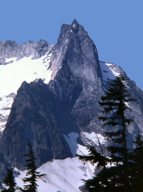
‘Hellion 4’ and ‘Hellion 5’
6160+/6154 on map
FA June 19, 1982
Solo (with Russ and Silas thinking, why bother?)
See Six Hellions (1978) for photo.
‘Hunich Pipe’
~6700’ / P~150
FA June 20, 1982
Thanks to Silas Wild and Russ Kroeker
Not on LoJ or PB. CAG small print.
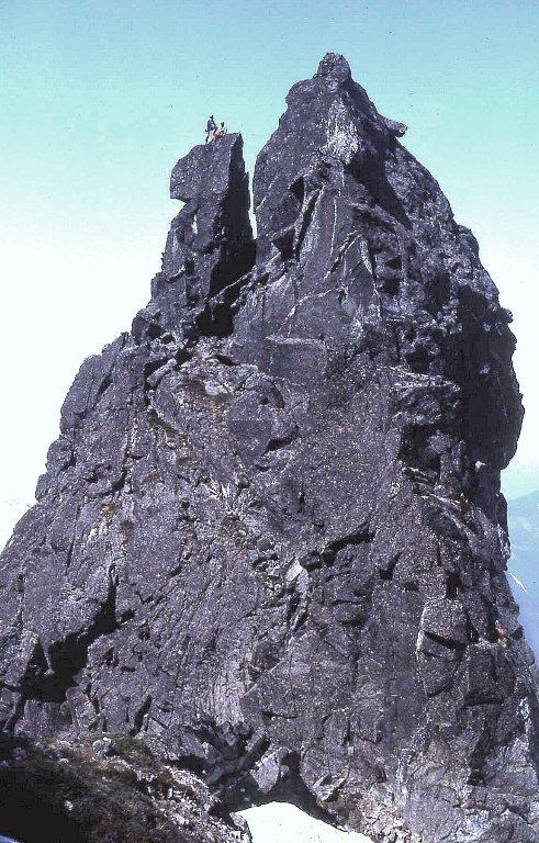
150-foot spire just NW of “The Trapezoid” named in honor of Skagit mountaineer Ken Hunich who reported going through a 10-foot notch here on his climb to Big Devil in 1964.
Growing up on the Skagit (1944-61), we admired Ken as the one and only true climber of all the City Light employees that ran the power projects and lived in Newhalem and Diablo. Ken was in the party that made the First Ascent of North Despair in 1963 (South Despair was Beckey’s very first, first ascent in 1939).
Ken was the second supervisor of Ross Dam and Powerhouse, succeeding my dad in 1954. When our families were both living in Diablo in 1953, Ken, my dad, and I (age 9 then) made a try for Pyramid Peak above town before a lightning storm chased us off the mountain. 15 years later in 1968, Ken and I made it to the top of our first successful peak together on a day-trip of Johannesburg Mtn (returning in the dark via the Gunsight Notch route).
Back in the ‘50s and ‘60s, Ken smoked a pipe and always teethed it at a jaunty angle under his moustache. In 1963, Jay Haggerty and I rowed Jay’s one-man duck boat across the Skagit River at Sky Creek and climbed Big Devil left of the waterfall you see from the road (launching in the morning, returning in the dark). In 1964, Ken and his brother Dick Hunich climbed Big Devil via its NE ridge from the Newhalem Creek intake. Ken talked of going through a “10-foot notch” below the Trapezoid to get to Big Devil.
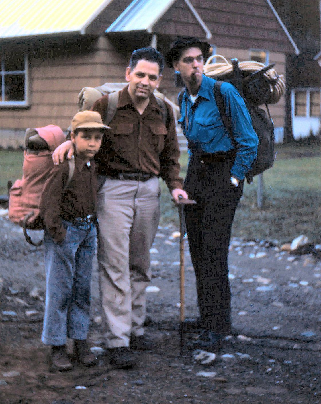
When Russ, Silas, and I got to this spot in 1982 and admired the pinnacles north of this notch, we misinterpreted Ken’s reference to the “notch” and thought Ken referred to the height of the crags to the north rather than the width of the notch. We mistakenly laughed at the 10-foot estimate of these impressive towers, Hunich Pipe and Pipe Cleaner. 6-foot tall Russ gives scale to the actual height in above photo.
The Horseman
8112′ on PB / ~P100.
FA July 17, 1982
Thanks to Silas Wild and Russ Kroeker
USGS Diablo Dam quad mislabels ‘Horsemans Pack’ as “The Needle.” The Horseman is immediately NW of this map label. The Horseman label was misplaced on the map at what has been called “Snowflake.’
This tower was previously given the appropriate Horseman name for its silhouette from Neve Glacier by Herb Strandberg and Bill Degenhardt on their 1931 FA climb of Snowfield Peak. Getting to the top was a problem, but was finally done in clunker mountain boots of the day after I had backed off of it twice (1966 and 1980) before rock technicians Silas and Russ got me to the top.

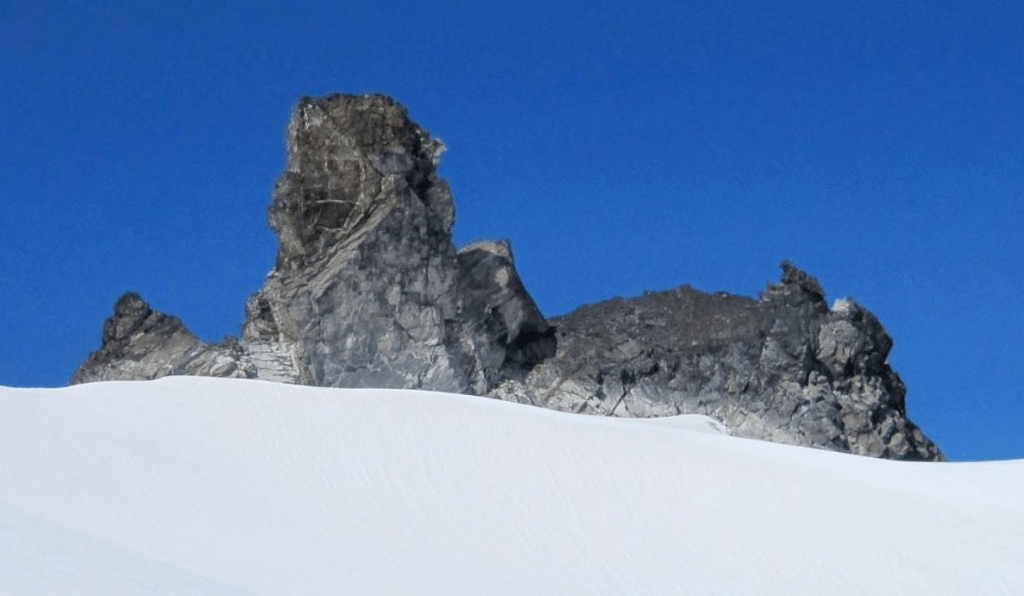
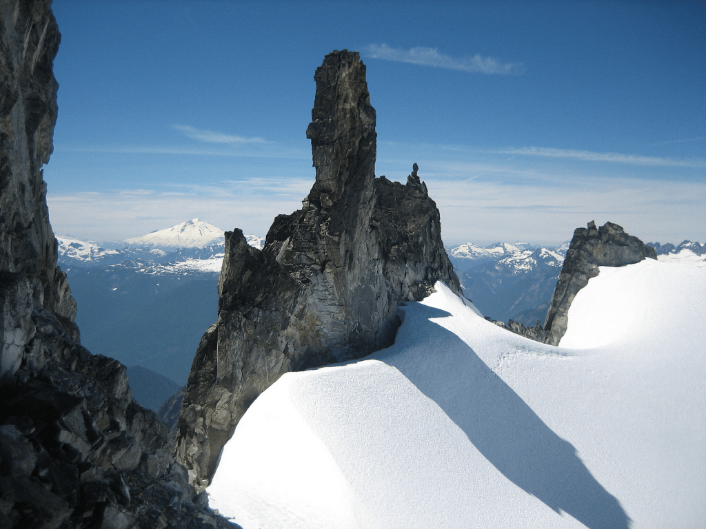
In 1966, I thought I might have touched, but for sure had not stood on the top of the ‘Horses Ear’. Steph Abegg’s report and 2012 photo of her sister Jenny just below made me later wonder if I made it to the light-colored ledge before the summit block then reached up. FA still waiting for a photo of a climber standing on top.
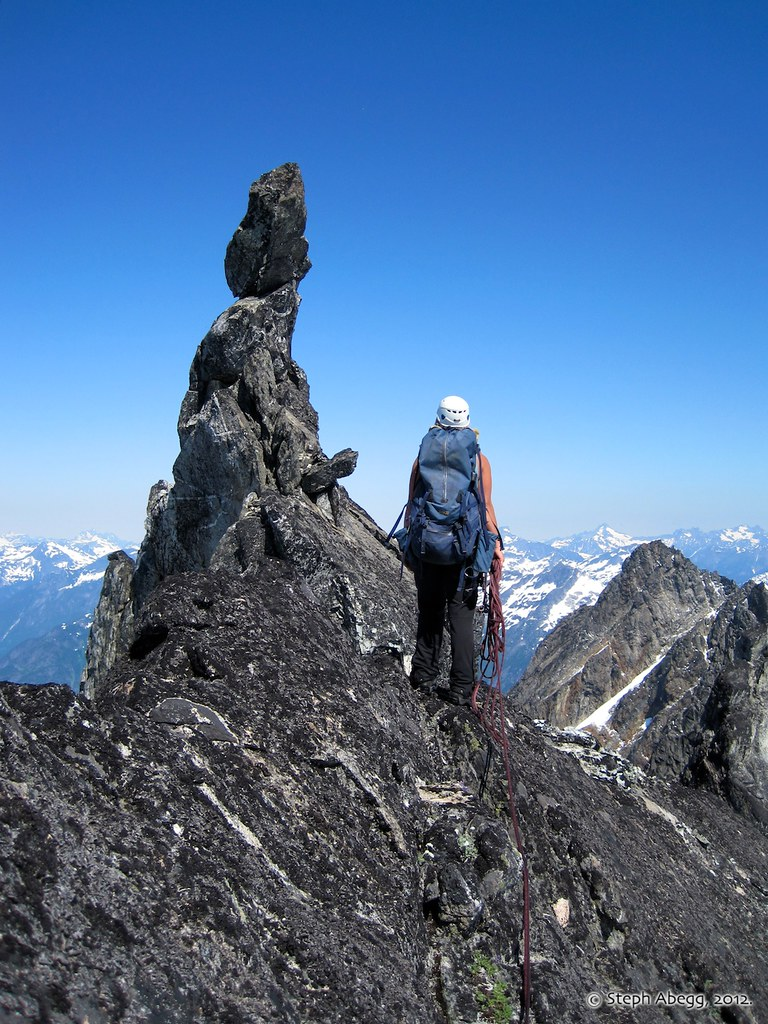

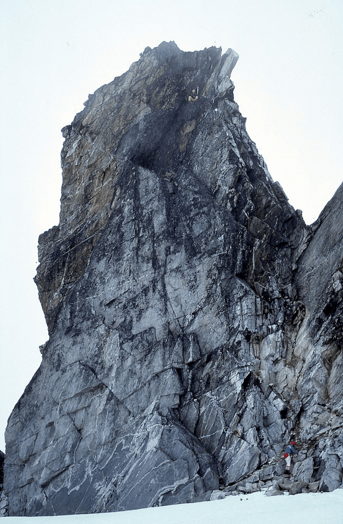
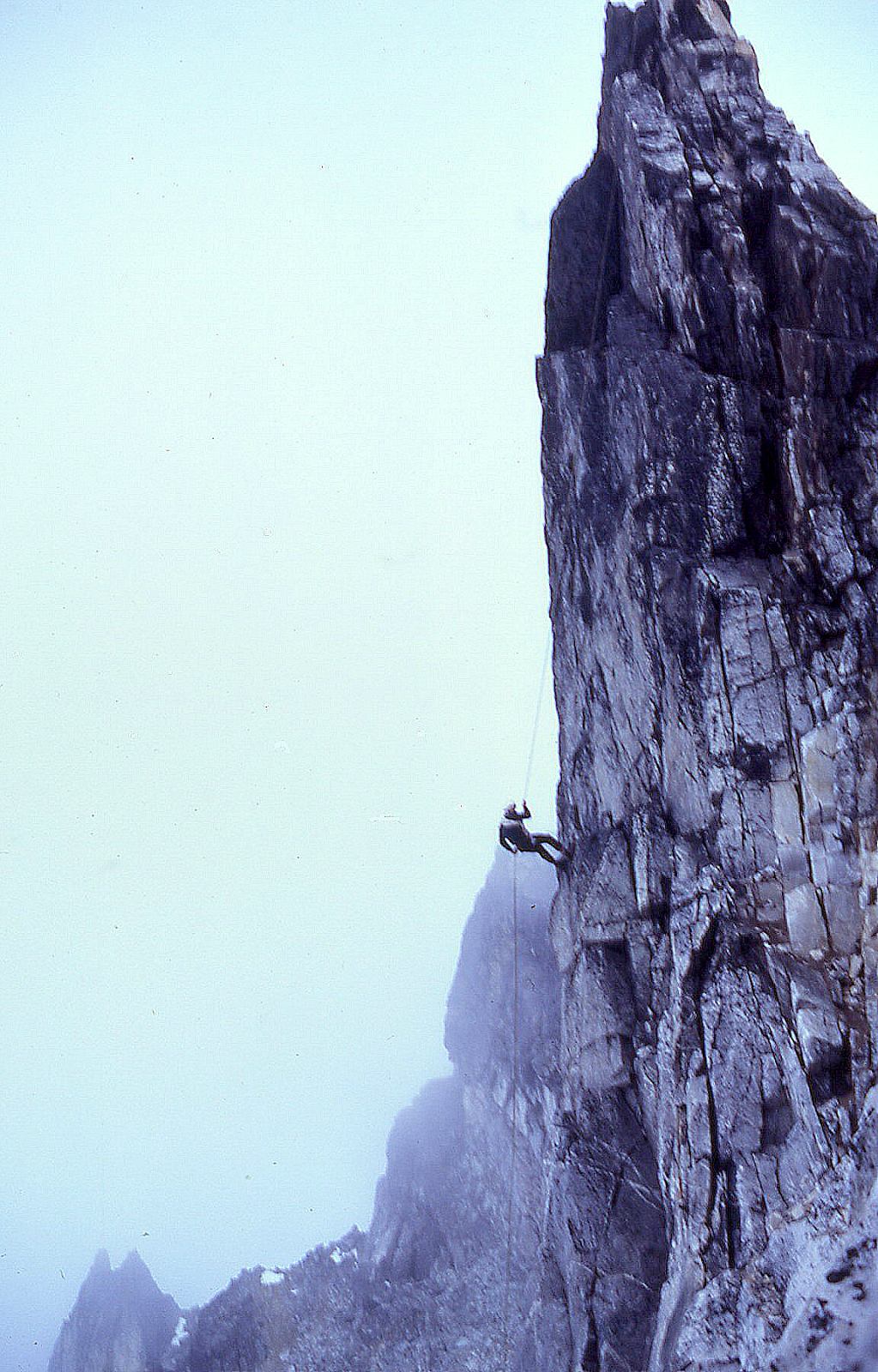
‘The Nails’ West
‘The Nails’ East
8200+ / P~40-50
FA August 7, 1982
Thanks to Silas Wild, Russ Kroeker
West of the original Horseshoe Peak, named for their horseshoe-nail shape.
Maps on LoJ. PB. CAG+ vaguely mentions our route without ascent credit.
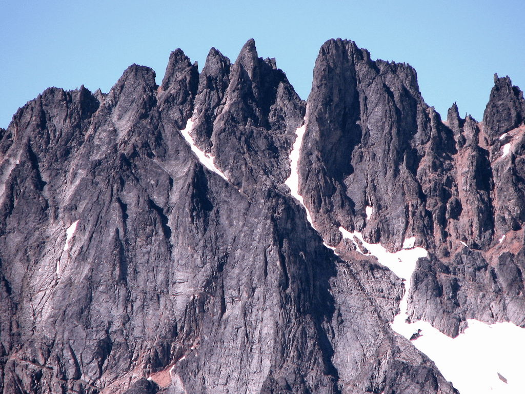
We approached ‘West Nail’ first via a gully from the SW with some class 4-5 moves.
‘Old Horseshoe Peak’ West
8220+ / P~100.
Nepa/FA August 7, 1982
Thanks to Silas Wild, Russ Kroeker
The East Old Horseshoe Peak (8280+ on map) is the highest point in this group. It had a cairn. The others did not. Greg Slayden found a Lidar elevation of 8313’ and a Lidar prominence of 160’ in this central area of Ripsaw Ridge.
The horseshoe-shaped summit in the middle of Ripsaw Ridge above Horseshoe Basin was centrally labeled on Forest Service maps. When the 7.5’ USGS Cascade Pass came out, a confused cartographer had moved the “Horseshoe Peak” label E to a minor landform, an act Beckey initially called “fatuous.”
‘Lick of Flame’
Lidar: 8473’ / P150
FA August 8, 1982 by Silas Wild and Russ Kroeker with JR in support.
Too good to leave out.
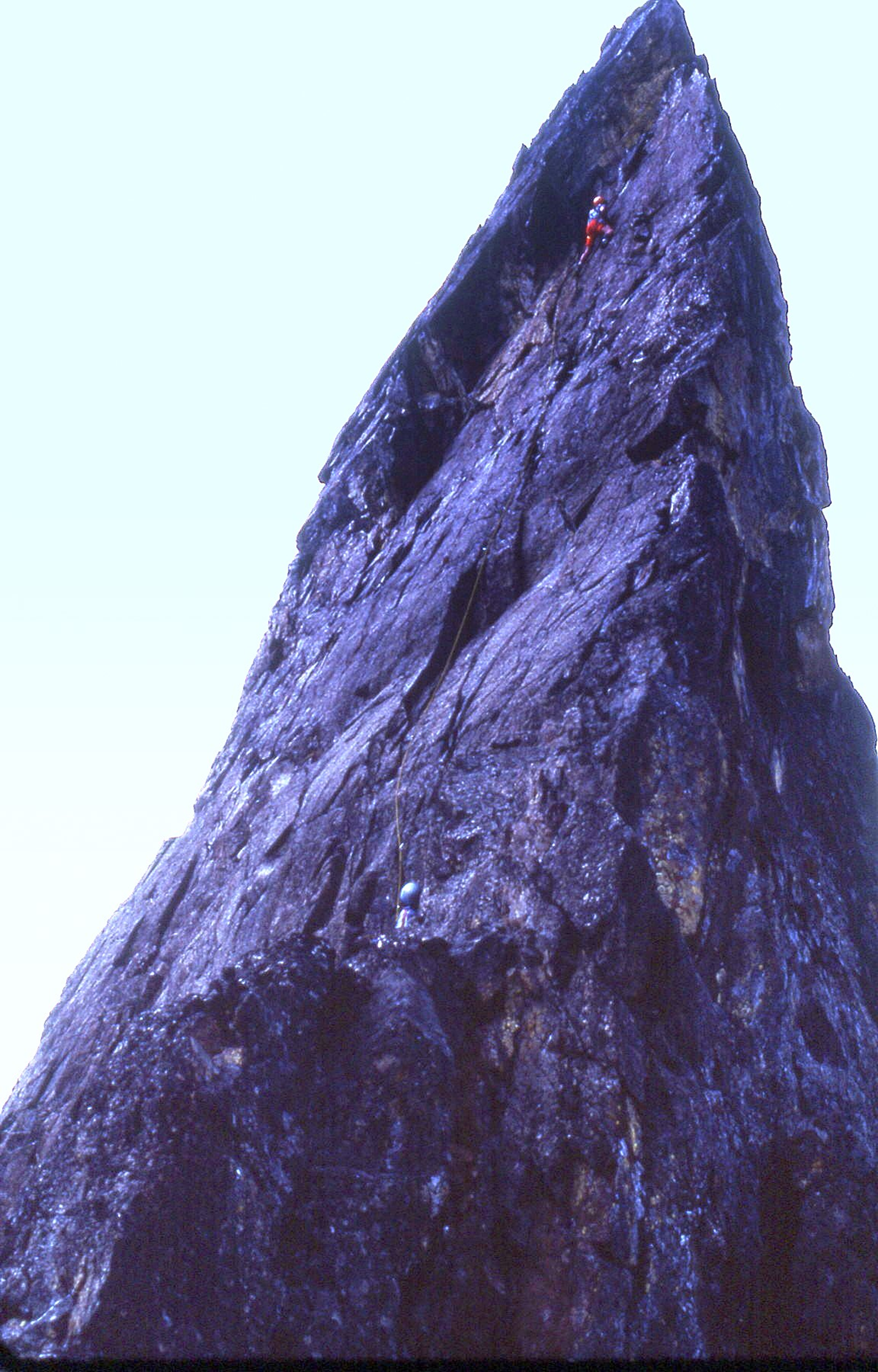
Silas Wild high on east face of Lick of Flame. Russ belaying. I tapped out in my heavy clunker mountain boots at the first bulge one-third the way up. They rated it 5.8. I should have taken a shot of them on top.
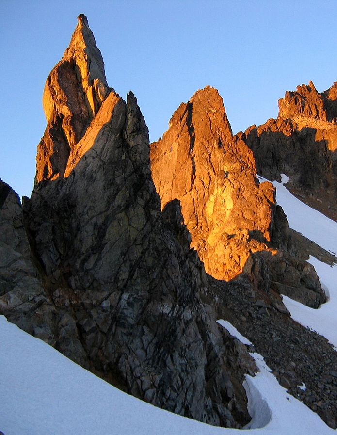
Lick of Flame SW side. Eric Gilbertson, Steven Song, and Talon put a zig-zag route up this sunny side here in 2022. Class 5.8. Matt Burton photo
‘Gramps Peak’
6680+ / P200mn. Lidar: 6759′ / P266.
FA August 22, 1982
Thanks to Joe Medlicott, Steve Allaback, Mark Allaback, Russ Kroeker
Joe Medlicott had recently become a grandfather.
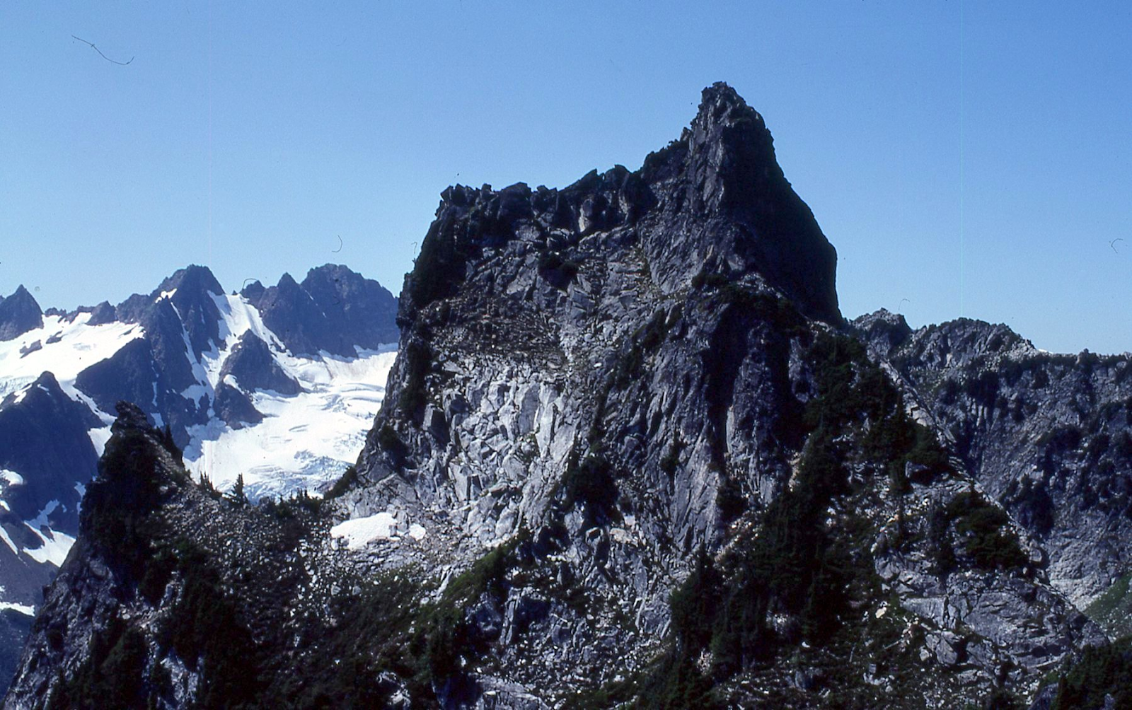
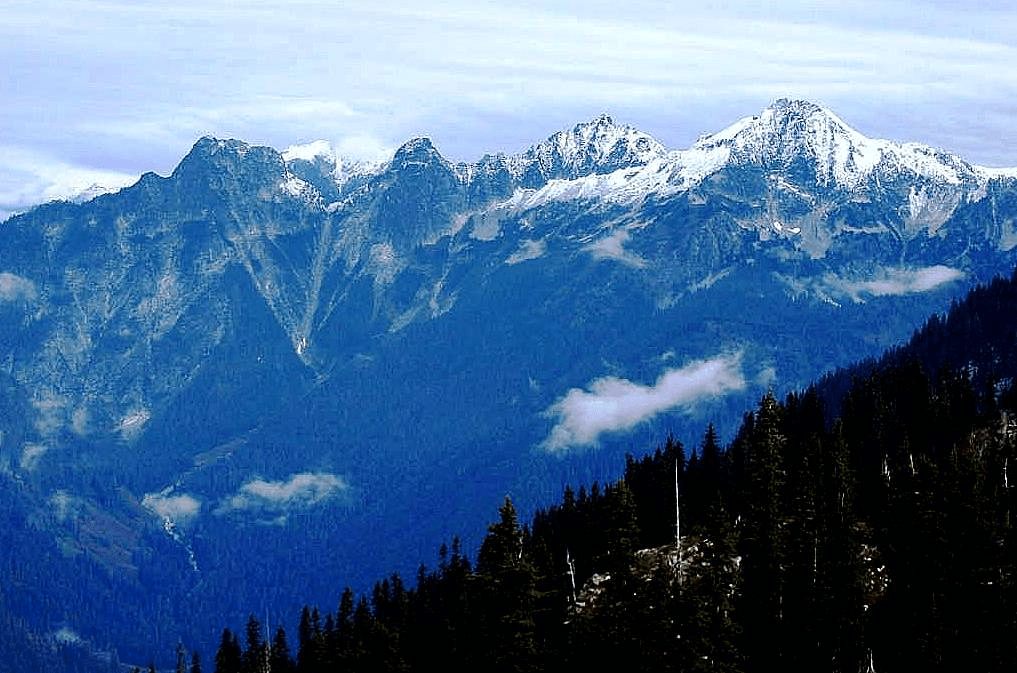
‘Goose Step Pinnacle’
7400+ / P120mean.
Nepa August 24, 1982
Thanks to Russ Kroeker and Mark Allaback
Map Not in LoJ, PB, or CAG.
Looks better than the prominence number indicates. Russ came up with name as it is immediately north of “German Helmet” 7510’. Alas, Harry Majors sent me a 1936? photo by Dwight Watson that looks like it was taken from this same summit.
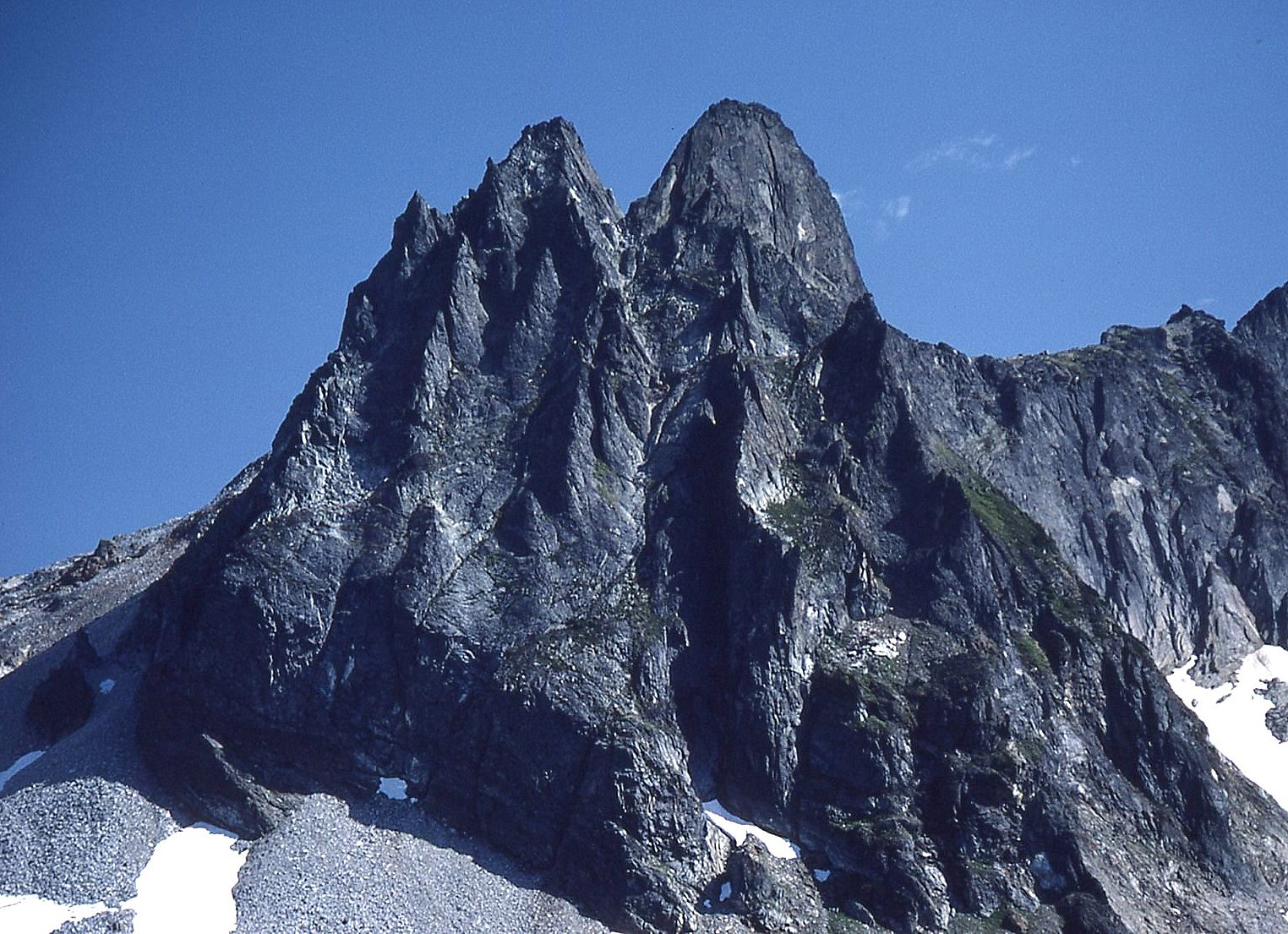
‘Goat Hoof’
~7100′ / Pminor
FA August 25, 1982
Thanks to Mark Allaback, Russ Kroeker
No contour shown on map. Summit at crosshairs. Not on LoJ, PB, CAG.
Small cleft pinnacle which looked like goat hoof near the top of ‘Primrose Peak.’
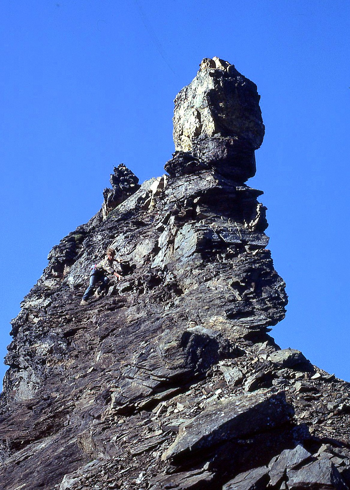
’Primrose Peak’
7160+ map / Big P1080 clean. Lidar: 7179′ / P1118.
FA August 25, 1982
Thanks to Russ Kroeker, Mark Allaback
Russ Kroeker came up with this name, reasoning that it was the first (prime) peak we climbed on Rimrock Ridge, and it had a rosy tint as we approached it. Plus, it incorporates many of the same letters as RIMROck.
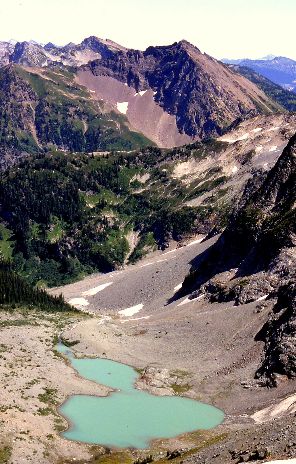
‘RIMROCK MOUNTAIN’ (High Point)
7240+ per USGS map. Online versions do not show highest contour. Lidar: 7254′ / Big P1325.
Nepa/FA August 25, 1982
Thanks to Russ Kroeker, Mark Allaback (while Steve and Joe took a N shortcut around it)
This is the highest summit on the map-labeled Rimrock Ridge, a name that appears splayed out on three different quadrangles. The original USGS Goode Mtn paper quad shows the highest summit contour here at 7240+, not 7200+. CAG+ mentions Rimrock Ridge, but is light on details. Beckey’s background information is helpful though, writing, “it is known Dwight Watson in summer 1936, hiked along the ridge nearly to Le Conte Lake, but made no ascents.”
We climbed the south ridge and went down the steepish north ridge.

‘Flat Peak’/”Edgestone Peak”
7180+ / P480cl-520mn. Lidar: 7114′ / P532.
Nepa/FA? August 25, 1982
Thanks to Mark Allaback, Steve Allaback, Russ Kroeker, Joe Medlicott
Sort of a flattish summit at the head of Flat Creek along Rimrock Ridge. Greg Koenig’s “Edgestone Peak” name is better, playing off “Rimrock.” The maps label the ridge SE of Flat Creek as “Rimrock Ridge,” a name that appears on the USGS Dome Peak, USGS Agnes Mountain, and USGS Goode Mtn quads with no individual peak named.
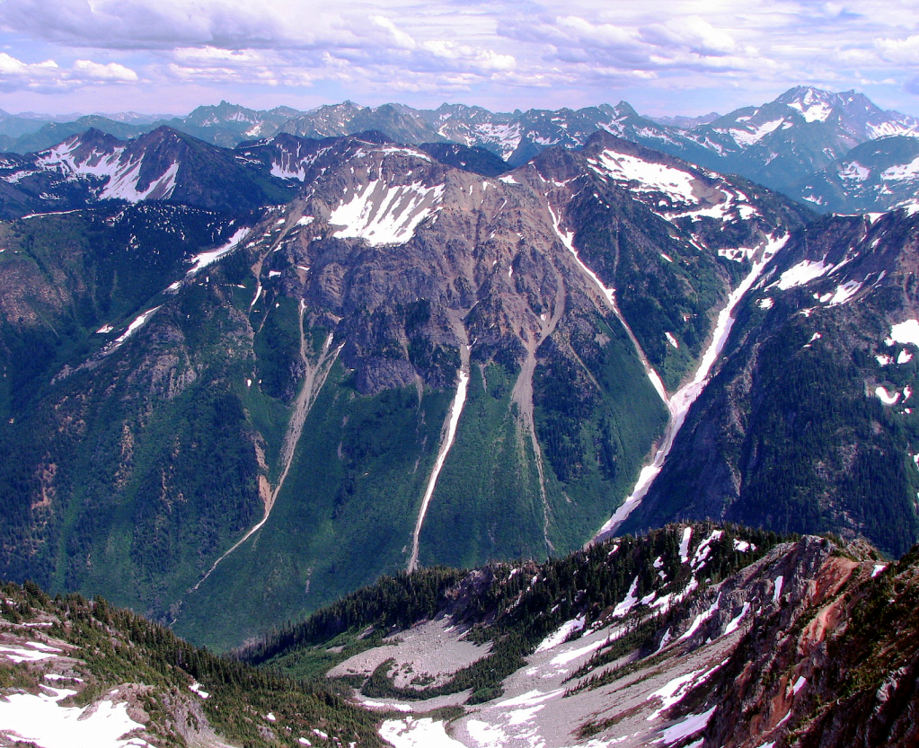
Seven Sisters
‘Sister Sarah’
7080+ map / P440mean. Lidar: 7073″ / P400.
Nepa August 26, 1982
Thanks to Mark Allaback, Steve Allaback, Russ Kroeker, Joe Medlicott
Southernmost peak on Seven Sisters ridge on map. Applying the names of sisters familiar to us, but please call them what you wish. Sarah was the older sister of Mark, daughter of Steve. We found no evidence of previous ascent, but there was a lookout station nearby on Junction Mountain, so it’s very likely it was previously ascended.
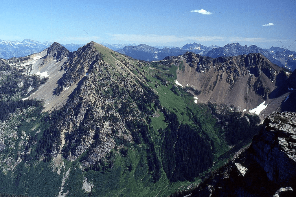
‘Sister Kate’
7000+ / P200mn
Nepa August 26, 1982
Thanks to Mark Allaback, Steve Allaback, Russ Kroeker, Joe Medlicott
Map. Not on LoJ, PB, CAG.
Just NE of Sarah. Kate was the younger daughter of Steve, sister of Mark.
‘Sister Reenie’
7203’ map and Lidar / P887 Lidar
August 26, 1982
Thanks to Mark Allaback, Steve Allaback, Russ Kroeker, Joe Medlicott
Highest point on Seven Sisters. Family nickname. Found small cairn without register. Rare instance where map and Lidar agree on the elevation.

‘Sister Habiba’
7160+ / P180mean
Nepa Aug 26, 1982
Thanks to Mark Allaback, Steve Allaback, Russ Kroeker, Joe Medlicott
Map. LoJ-. PB-. CalTopo is missing a contour shown on USGS quad.
Name bestowed by Russ for his wife in 1982.
‘Sister Sue’
6809’ map label, but 6880+ by contours / P280mn
Nepa August 26, 1982
Thanks to Mark Allaback, Steve Allaback, Russ Kroeker, Joe Medlicott
Joe’s wife and daughter share this name.
‘Little Sister Marina’
6785’ / P205mn
FA August 26, 1982
Thanks to Russ Kroeker, Mark Allaback
Map. Not on LoJ, PB, or CAG.
Just N of “Big Sister.” Named by Russ for his youngest daughter.
.
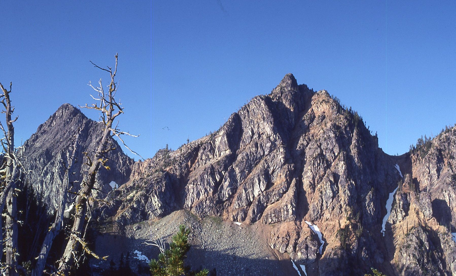
‘Beheaded Dog Burying Bone’
7049′ map. Lidar 7031′ / P336
FA September 5, 1982
Solo (with Silas and Russ in support)
Map on LoJ and PB. Not in CAG.
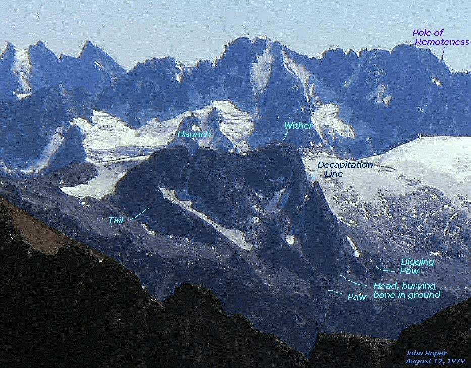
‘Pachyderm Peak’
7310’ map. Lidar: 7321′ / P280.
USGS Mount Logan
FA September 19, 1982
Thanks to Michael ‘Mick’ Newhouse
This peak looks both like the head-on face of an elephant, and also a side-view body of an elephant. Approached from HW 20 over ‘Panther Pass’ at the head of Panther Creek, then up south ridge.
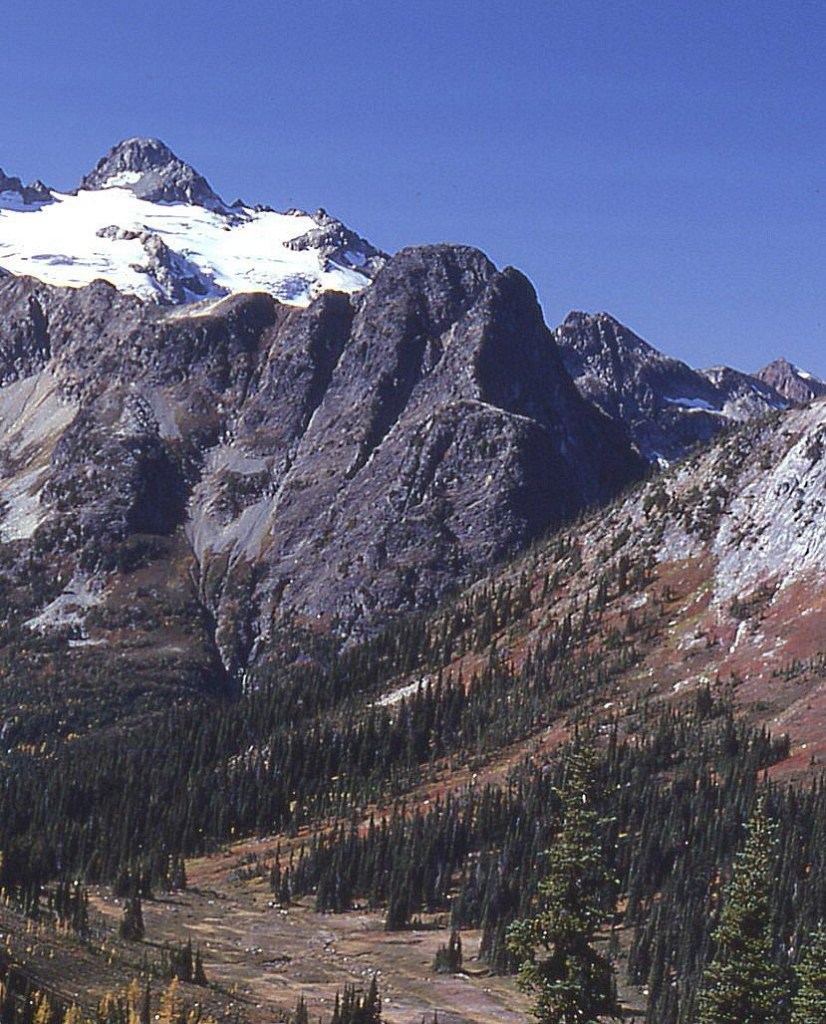
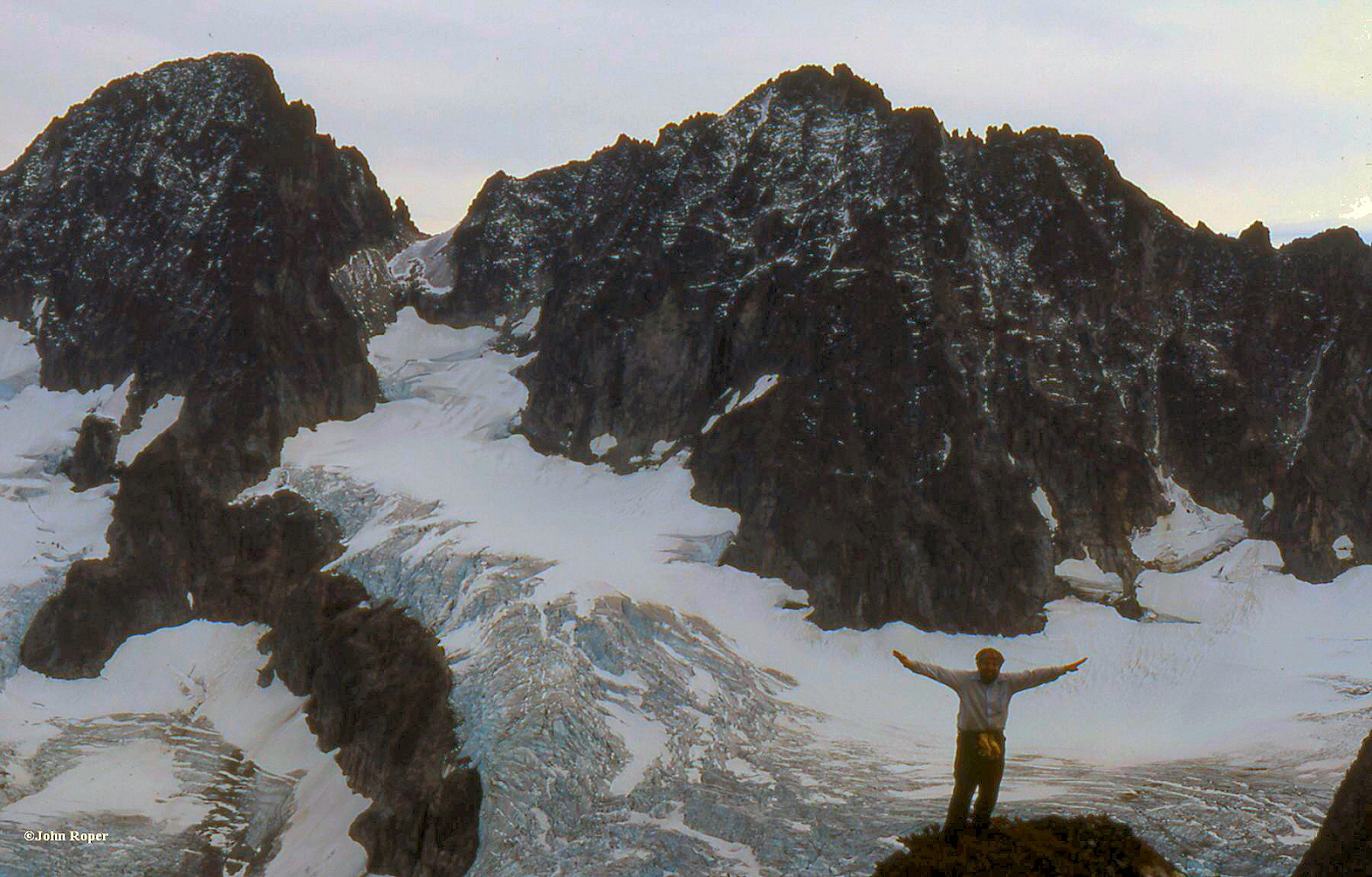
1983
‘Surveyors Knoll’
6253’ / P413. Lidar: 6254′ / 445.
FFA July 24, 1983
Thanks to Silas Wild
We ran the ridge N to S from Despair, right to left in the following photo. Presumed FFA (first ascent by foot). USGS surveyors had landed here previously in a helicopter in 1953 and left their typical wood and wire remains atop as they were mapping the 15-minute quad.

‘Mamook Mountain’
6474′ map / P674. Lidar: 6455′ / P686.
FA July 24, 1983
Thanks to Silas Wild
Silas called this “Le Grande Boob” on our approach to Triumph Pass but the name has subsequently been politically corrected to ‘Mamook’, an active Chinook word meaning “to do, to work, to put into action,” which one needs “to do” to climb this peak. The ‘Mam and the ook’ may evoke thoughts of Silas’ original concept. No problems up the NW ridge.
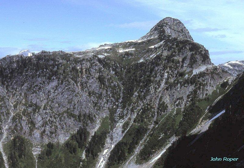
“Black Beard Peak”
7241’ / P381mn. Lidar: 7252′ / P399 (so close).
FA August 7, 1983
Thanks to Ron Aronoff
Ron was not impressed with this peak’s stature in the presence of its towering neighbors, Black Peak and Fisher Peak and commented that this looked more like an ‘Adolescent Peak’ which is what we initially called it. Luckily, Dallas Kloke applied the more appropriate “Black Beard” name in 1989 as it is between Black Peak and “Graybeard Peak.” Three-hour hike up the east slope from HW 20.
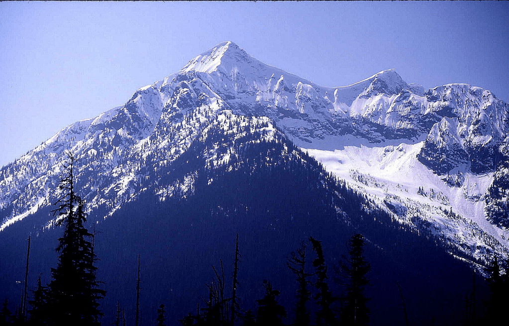
‘The One-Eyed Bull’
8120+ / P360mean. Lidar: 8157′ / P363.
FA August 13, 1983
Thanks to Russ Kroeker, and Dick Kegel
This unique landform lies between Dome Peak and Spire Point. Named for its white snow face and missing right eye. Our route was up the north face on hard snow. The left/east Horn of the Bull is higher.
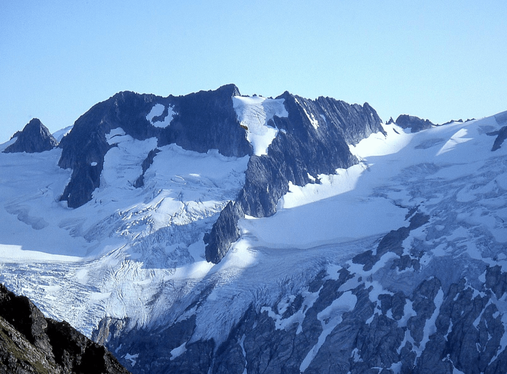
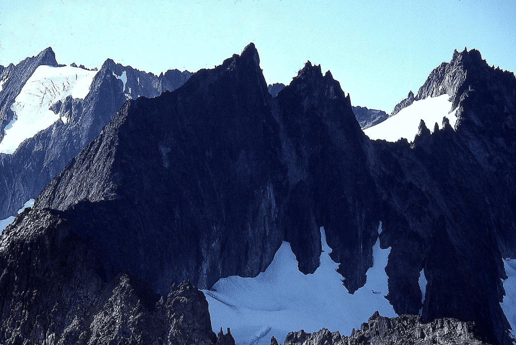
‘The Cheshire Cat’
8120+ map / P160mn. Lidar: 8131′ / P150,
Nepa/FA? August 14, 1983
Thanks to Dick Kegel, Russ Kroeker
Named for its shape. Junky class 5 rock from SE. Looks like the central “ear” is highest.
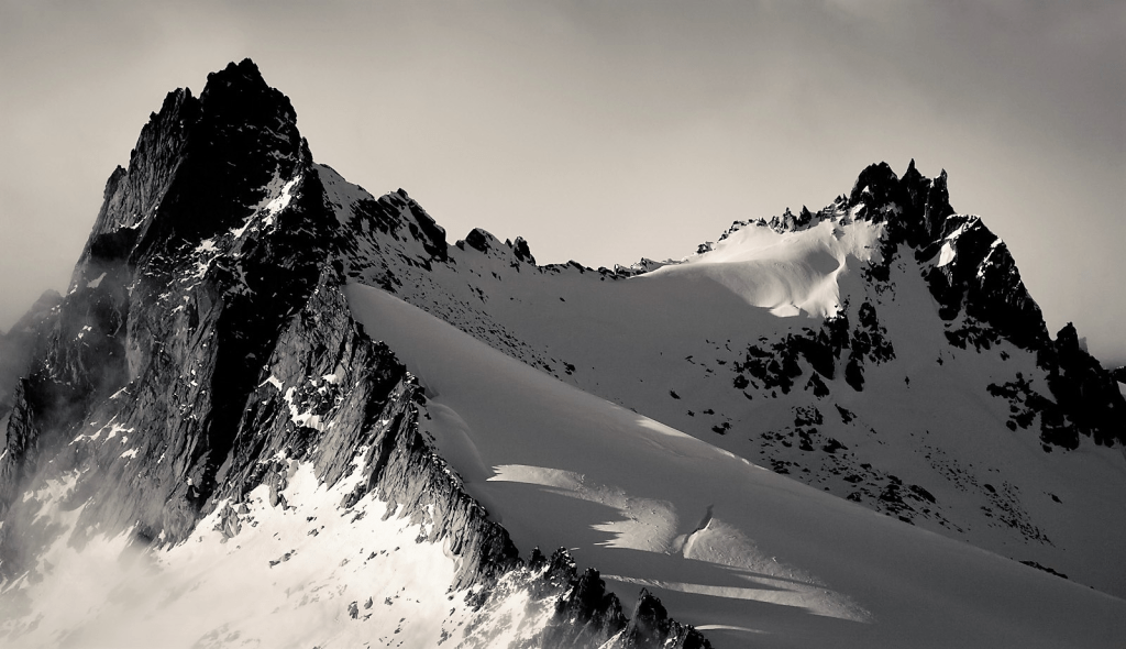
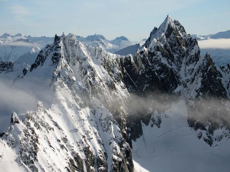
‘Ozymandias Peak’
7647’ (USGS map), 7641’ (on CalTopo). Lidar: 7661′ / P304.
FA August 25, 1983
Thanks to Mary Quinn, Steve Allaback, Joe (Alexander) Medlicott, Jr.

Ozymandias photo by John Porter. View from Freezeout. Ozy on right with ‘Full Moon Rising’ behind it. We came in via left ridge above Freezeout Creek climbing ‘Outback Peak’ and ‘Buck Heaven’ before Full Moon then dropping into Freezeout Creek and up to a camp at ‘Allethaire Pond‘ (lower left by snow patches).
This peak was named by Mary Quinn who was an English professor at UC San Diego and a Keats/Shelley scholar. She proposed the Shelley poem Ozymandias (referring to Ramasses the Great) which explores the fate of history on men and empires and the ravages of time. https://blog.prepscholar.com/ozymandias
“I met a traveler from an antique land
Who said: Two vast and trunkless legs of stone
Stand in the desert. Near them on the sand,
Half sunk, a shatter’d visage lies, whose frown
And wrinkled lip and sneer of cold command
Tell that its sculptor well those passions read
Which yet survive, stamp’d on these lifeless things,
The hand that mock’d them and the heart that fed.
And on the pedestal these words appear:
“My name is Ozymandias, king of kings:
Look on my works, ye Mighty, and despair!”
Nothing beside remains: round the decay
Of that colossal wreck, boundless and bare,
The lone and level sands stretch far away.”
‘Pato Peak’
6800+ P280mn, vies with ‘Lonely’ for Prominence.
Nepa September 26, 1983
Thanks to Carla Patopea
Map at LoJ. Not on PB or CAG
Minor summit south of Mount Blum. But Harry Majors did a tape-recorded interview (in UW Archives) on August 25, 1973 with Ernest Kobelt who related that he and two companions climbed several minor peaks S of Blum, but not Blum or Hagan about 1923. So this peaklet might have been one of them.
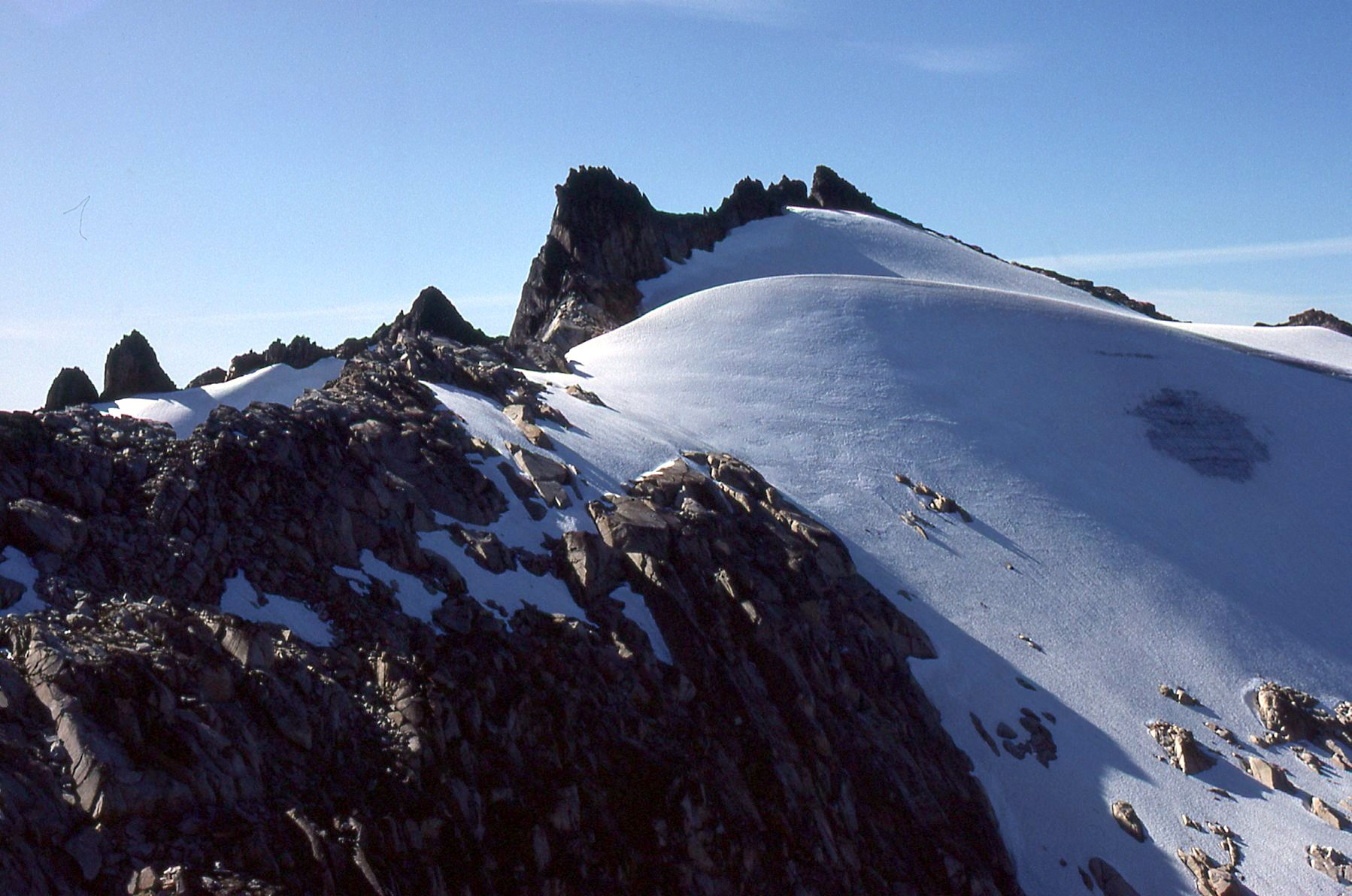
‘Alrac Peak’
6760+ / P80mn.
Nepa September 26, 1983
Thanks to Carla Patopea
Crosshairs on peak. Minor form.
Cliff Lawson and Mike Swayne climbed a “6700 ft knob” after planting fish in Blum Lakes on September 17, 1960 which may well have been this summit’s FA. Not in LoJ, PB, CAG.
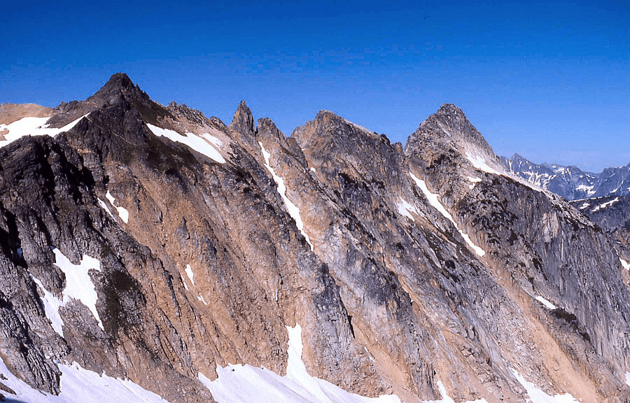
‘WHALE PEAK’
6559’ map / Big P1079. Lidar: 6547′ / P1090.
Nepa September 29, 1983
Solo
Borrowed this name from Whale Lake to south, plus from some angles it looks like the cartoon drawing of a whale. FA by geologist Bruce Bryant July 21, 1953 (letter from Bryant to Harry Majors).
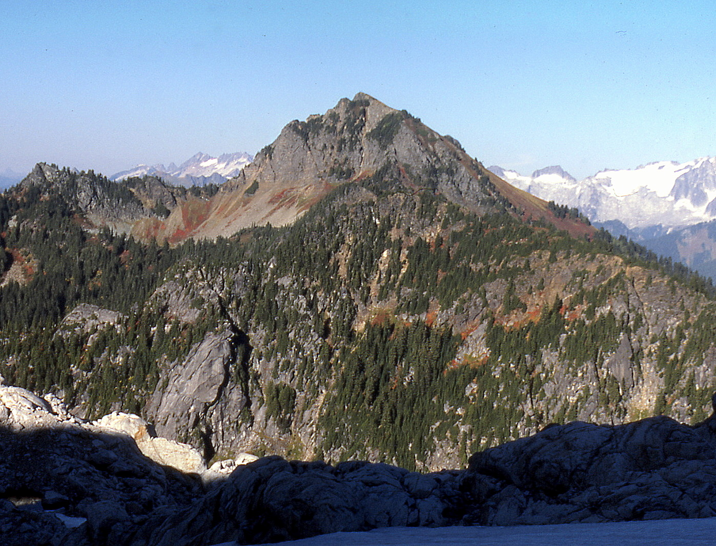
‘Razors Edge’
6000+ / P120mn.
FA September 29, 1983
Solo
Razors Edge map. Not on LoJ, PB or CAG.
Sharp little spire out the NE shoulder of Razorback Mountain. Class 4ish.
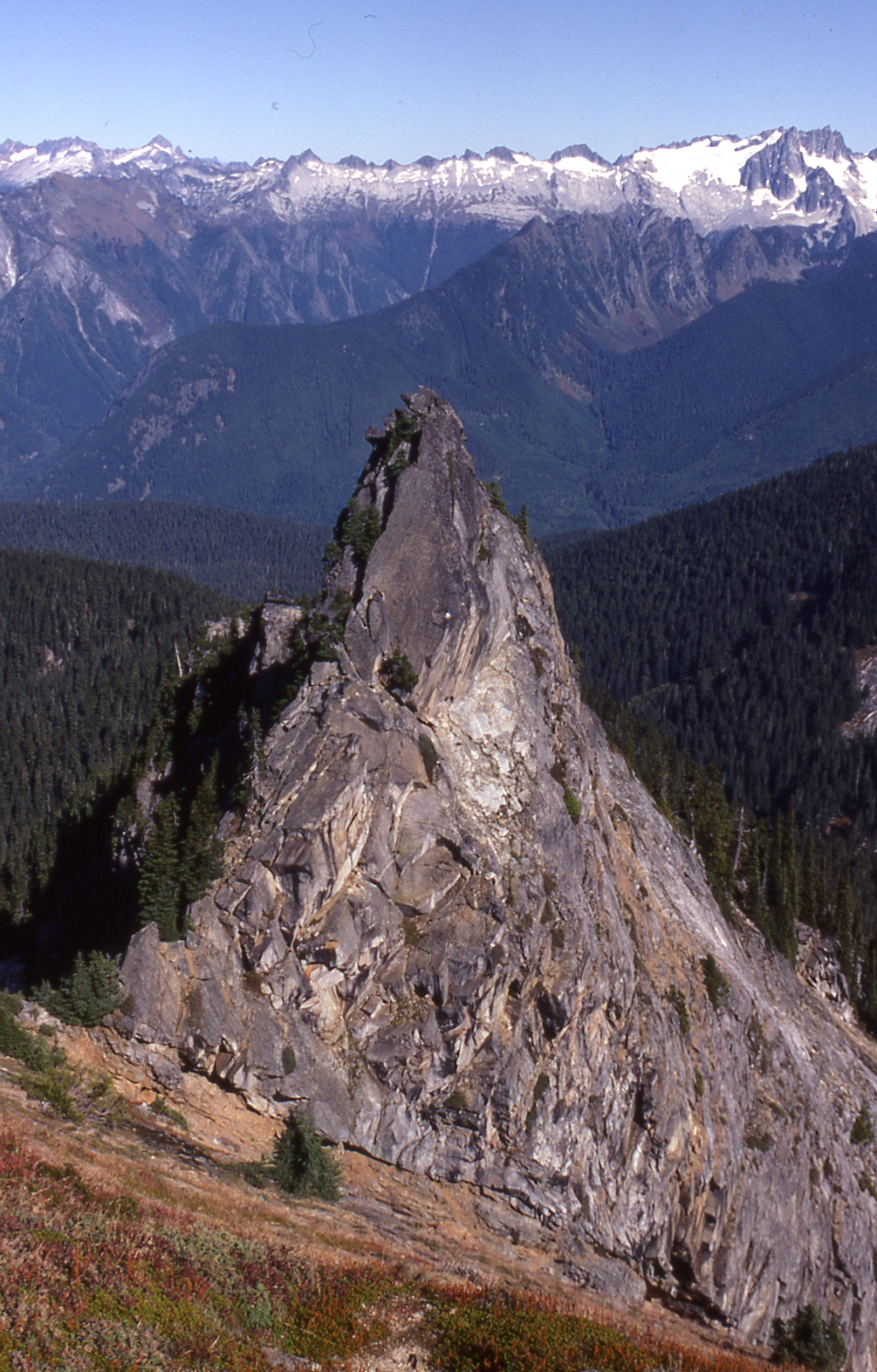
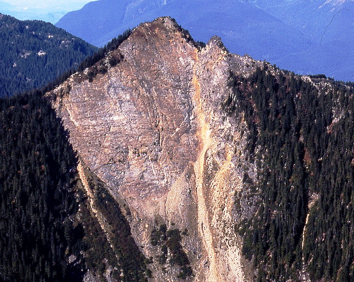
1984
Majestic Mountain
Majestic 3
Numbering from north
Majestic 1 (N) is 7510′ on map, but Lidar says 7507′ making it the highest on this ridge with P662.
Majestic 3 on map 7440+/ P360mn. Lidar: 7505′ / P431.
Majestic Mountain (4) is highest on map, once 7520+/ P720. But Lidar says it is 7503′ / P386.
Nepa on once highest Majestic and Majestic 3 June 2, 1984
Thanks to Russ Kroeker
Majestic Mountain 4 (previous map highest) on LoJ & PB. CAG+
We found uncairned tops with no registers on Majestic 3 and 4, but surely miners in the area visited these peaks. Numbering from the N Pk as 1 (7510′ on map) Majestic 5 7450′ had a cairn but no register. We day-tripped the Majestic Mountain ridge via the East Creek trail and climbed the southern three summits here before dropping to the Boulder Creek trail to Canyon Creek trail, back to HW 20 and hitching back to car. Truth be told, this landform is not particularly “majestic” friom the west.
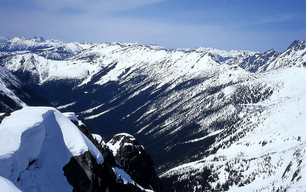
This Matt Burton photo from above Boulder Creek on June 7, 2011 tells the Majestic west side story best. Numbering from North Majestic (1), then 2, 3, 4, 5. See above for Lidar elevation changes.

‘The Addict’
7240+ / P120mn
‘North Benzarino’
Lidar 7741′ / P281
Nepa/?FA June 16, 1984
Thanks to Russ Kroeker
North Benzarino map on LoJ. PB-, CAG-
Russ came up with this ‘Addict’ name for a small flat-topped point just N of Benzarino, musing that the Benzarino name sounded like the illegal amphetamine, Benzedrine—“bennies,” and that ‘The Addict’ was passing on his Last Chance to come clean at Last Chance Pass just north. Benzarino was a sheep herder in this area, as was his Basque friend, Corteo, and there’s a good chance they wandered up here. Not in LoJ, PB, CAG. See Mount Benzarino 1976.
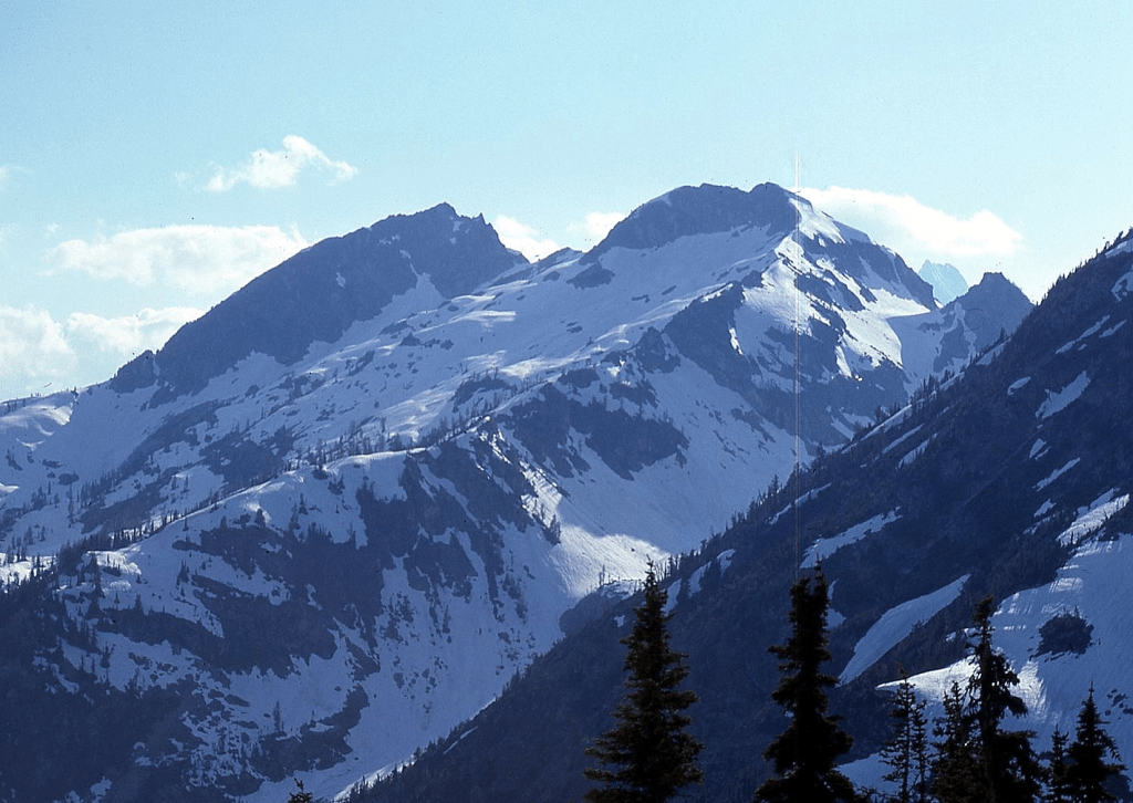
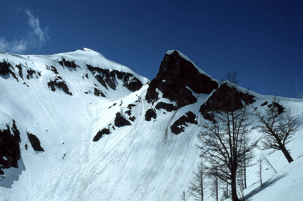
OSCEOLA PEAK ‘Oscy Couloir’
New route July 5, 1984 on Bulger Top 100 peak
Thanks to Silas Wild and Russ Kroeker
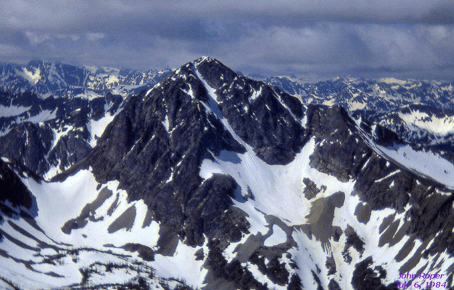
We did this north side snowfield and couloir approaching over the saddle on left, down past the cliffs, then up the snow. This is a preferred route over the chossy south side.
‘The Turret’ aka E ‘Tine’
7640+
FA July 22, 1984
Thanks to Silas Wild and Russ Kroeker
East peaklet of “The Blob” (aka Beckey’s ”Rake”) standing between “The Blob” and Mount Terror. From Latin: turris, tower. The ‘Tine’ name is a play off “The Rake” name. Sort of junky class 4 climb out of the notch with Terror.

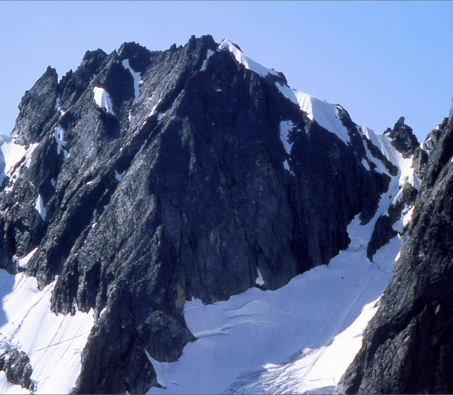

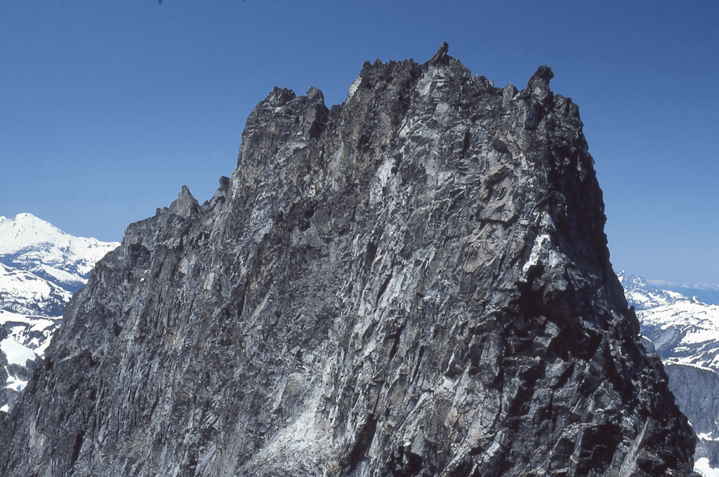
‘Dumbo Peak’
7520+ / P160mn
FA July 23, 1984
Solo
After our Frenzel Camp just N of Frenzelspitz, Russ and Silas went off to do W and E Fury. I had already climbed both Furys so opted for an easier day dropping into Picket Pass then up 7757’ South Fury (Firey’s name)/aka Outrigger (Beckey’s name) then down the NW side to a saddle connecting to Fury, finishing up a rotten-rock peak that looked a little like an elephant ear (Dumbo) and was trickier than it looked requiring a dumb move. I descended the snow couloir left of Dumbo in above photo link to return to camp.
‘DAEMON PEAK’
7514’ / Huge P2194clean. Lidar: 7531′ / P2243.
FRA July 28, 1984
Solo
There was no evidence of previous ascent here on July 28, 1984 for an unlikely but recorded first ascent. As I stood atop casting a Brocken spectre below, the valleys all around were filled with clouds but the skies above were clear and the higher peaks floated like ships on a foggy sea.

Before computer-speak, “daemon” was defined as “a supernatural being of Greek mythology intermediate between gods and man.”
As I levitated there above the clouds between God and Man amongst the Devils, this seemed like the perfect name. Devils Dome and Devils Park below have a possible negative connotation. Daemon is good, or trying to be.
This is one of the 144 peaks in Washington that has over 2000-feet of prominence.
Harry Majors in his epic 1975 treatise, “Exploring Washington” (p. 42) opines that Henry Custer of the 1859 Northwest Boundary Survey party was in this Devils Dome area on September 1-3, 1859 (125 years before my visit), climbing Devils Dome which Harry says the Indians called “Kakoit.” He says Custer climbed Daemon on Sep 2, and Shull on Sep 3, 1859. However one of Custer’s quoted passages about three beautiful little limpid lakes and fine mountain meadows makes this observation suspect as there is no cluster of three lakes in this region. Beckey copied Majors’ FA thought and copied the unimaginative “Cinnamon Creek Peak” name applied by Steve Fry when Steve was calculating Washington’s Top 100 x P2000 peaks in the early 1980s. A peak is not a creek.
It was a straightforward hike up the south slope from Devils Pass camping on a 7203′ southern bump.
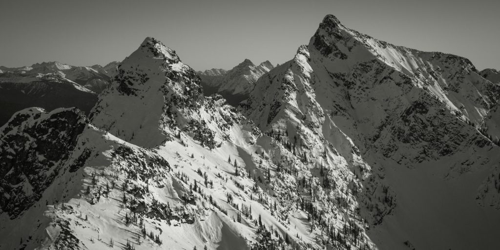
‘Silhouette Peak’
7274’ / P414mean. Lidar: 7301′ / P418.
Solo
FA July 28, 1984
Just N of Daemon Peak. Name derived as this peak complex appeared as a mysterious dark backlit silhouette the first time I saw it from the north on the Pacific Crest Trail near Three Fools Peak. There was a bit of a tricky move down from Daemon around its NW flank.

‘South Shadow’ and ‘North Shadow Points’
7040+ /P120mn (Map) and 6977′ / P197 (Map)
FA July 28, 1984
Solo. See photo above.
Two minor protuberances north of ‘Silhouette.’
‘Obscure Mountain’
6980′ map. Lidar: 6993′ / P538
FA Aug 12, 1984
Thanks to Carla Patopea
So named, because it is. No problems up the south ridge from McGregor Mtn.
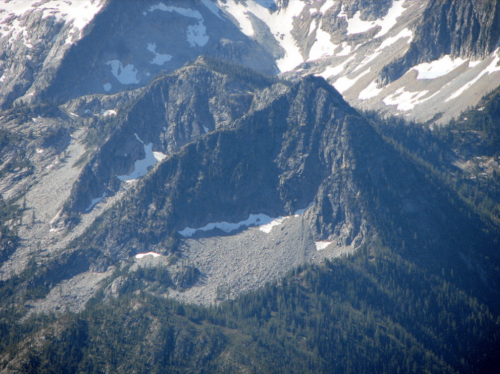

‘Native Knoll’
6439’ map. Lidar: 6449′ / P842.
Epa/First Full Foot Ascent August 19, 1984
Thanks to Alex Medlicott III (with Joe Medlicott and Steve Allaback in support)
Referring to Native Americans and Skagit Natives. Also the name plays off of Interloper Peak 6484′ (see 1977) which we repeated in 1984 approaching up ‘Pork Belly Ridge’ (between the two forks of Bacon Creek). Wood and wire were found on ‘Native Knoll” in 1984 left by the 1953 helicoptering USGS surveyors. Geologists Rowland Tabor and Doug McKeever had scrambled it from the NE after landing on “Mystery Ridge” in a helicopter in 1967. We walked up the south ridge.

‘Lonely Peak’
6800+ / P240mn. Lidar: 6804′ / P248.
FA August 20, 1984
Thanks to Alex G. Medlicott III, Alexander (Joe) Medlicott, Jr., and Steve Allaback
Map on LoJ and PB. Minor unnamed reference in CAG.
For its position above Lonesome Creek. Easier than it looks from the south (in following photo).

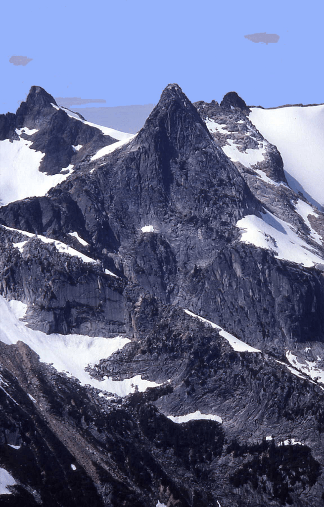
‘Crackrap Peak’
6720+ P160mn
FA August 20, 1984
Thanks to Alex G. Medlicott III, Joe Medlicott, and Steve Allaback
Just west/right of ‘Lonely Peak’ in photo below.
Not in LoJ, PB, or CAG.
There was a short steep crack up the east side, encouraging a rappel to descend.
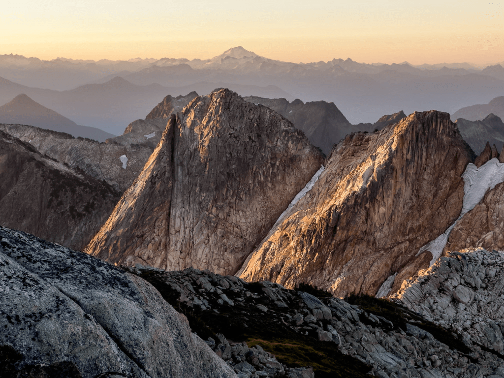
‘Cheval de Frise’ NW Peak
6280+
FA of the NW-most summit on this ridge August 25, 1984
Solo
NW of Cheval de Frise 6356′ high point with Lidar P252 on PB.
Green CAG credits FA of 6356 to Bruce Bryant on Sep16, 1954 on traverse from Chaval. Harry Majors documented that Bruce Bryant and A.R. Grant made this FA on July 7, 1953 from the W.
The name of this bumpy ridge NW of Mount Chaval plays off “cheval” as this ridge looks fancifully somewhat like a cheval de frise, a barrier row of spikes, sword blades, broken glass, set as an obstacle on top of a wall used to obstruct the passage of soldiers on horseback.
This ridge can be seen from HW 20 from a point between Rockport and Marblemount, near Corkindale Creek.
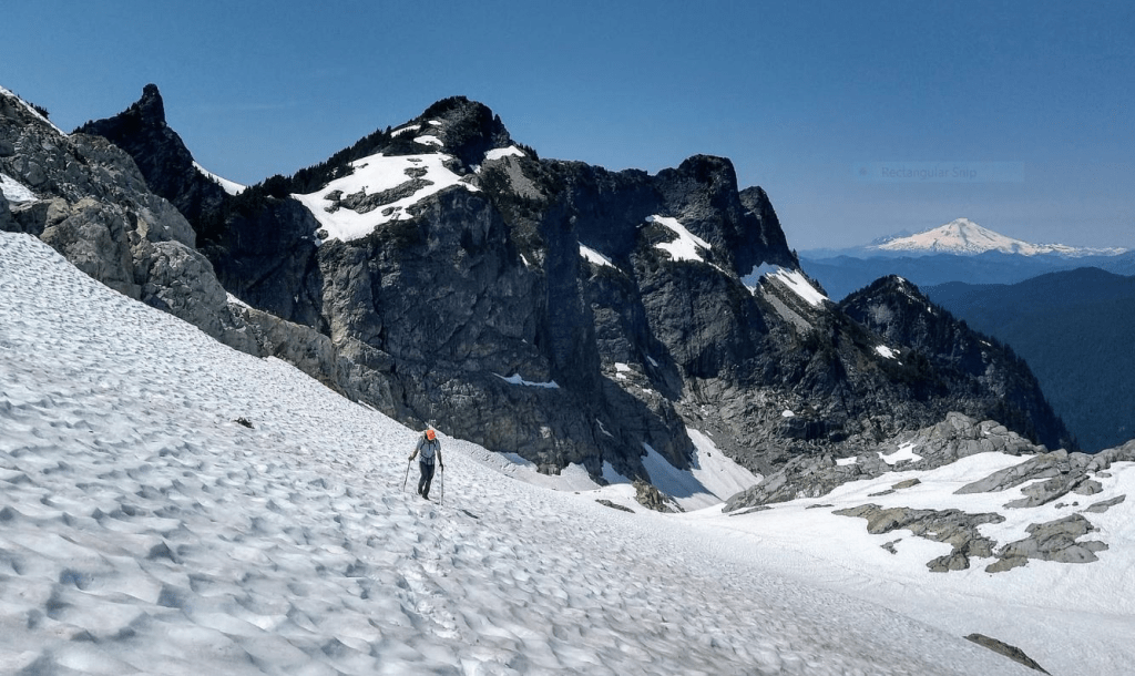
‘Petit Chaval’
Lidar 6429′ / P502.
Epa/ ?3A August 26, 1984 (small cairn, no register)
Solo
CAG credits FA to Tom Menzel & J. Wilson 6/30/74, but geologists Bruce Bryant and A.R. Grant likely did FA on 7/7/53 per Bryant’s notes to Harry Majors. From Mount Chaval, Petit Chaval is a good-looking spire which has also been called ‘The Steeple.’ Steepish climb from east.
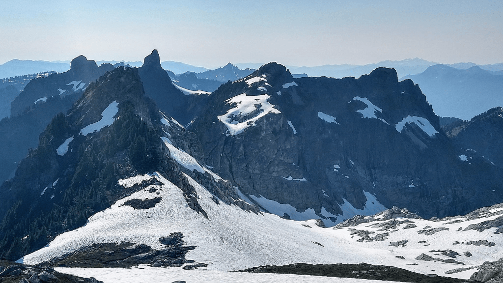
‘Faux Chaval’
6364’ map and Lidar/ P189 Lidar
Epa/?3A August 26, 1984
Solo
LoJ-. PB. CAG states, ‘’No data. Most attractive of group.’’
This peak was climbed in a whiteout by a Mountaineer party via the W ridge, who upon arriving atop mistakenly thought they had summited Mount Chaval (though they were 1.5 miles W of and 763’ vertical short of their goal). I discovered their orange match-case register holding their summit notes after I soloed up the E ridge on August 26, 1984. This group was delighted atop to think they had completed the Mountaineers Everett Branch Silver Peak Award here and recorded that in their summit entry.
Back home, I contacted their party leader by phone and told him I had some good news and some bad news for him. The good news was that they made what I thought then was the first ascent of a cute little peak that can be seen from the highway just west of Darrington. The bad news of course was they had not climbed Chaval. He didn’t buy it.
In July 2020, Harry Majors sent me notes from geologist Bruce Bryant who recorded a traverse from ‘Mortons Neuroma’ 5955 E along the ridge to a 6200’ col W of Mount Chaval with A.R. Bob Grant on July 7, 1953.
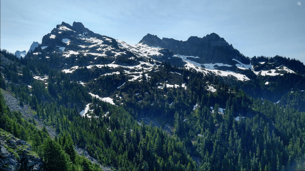
‘Yellow Tower’
8080+
Nepa September 3, 1984
Thanks to Russ Kroeker
This was a minor consolation summit on a failed attempt on Wy’East Mountain’s SE ridge via an unrecommended route to that summit from Fourth of July Basin.
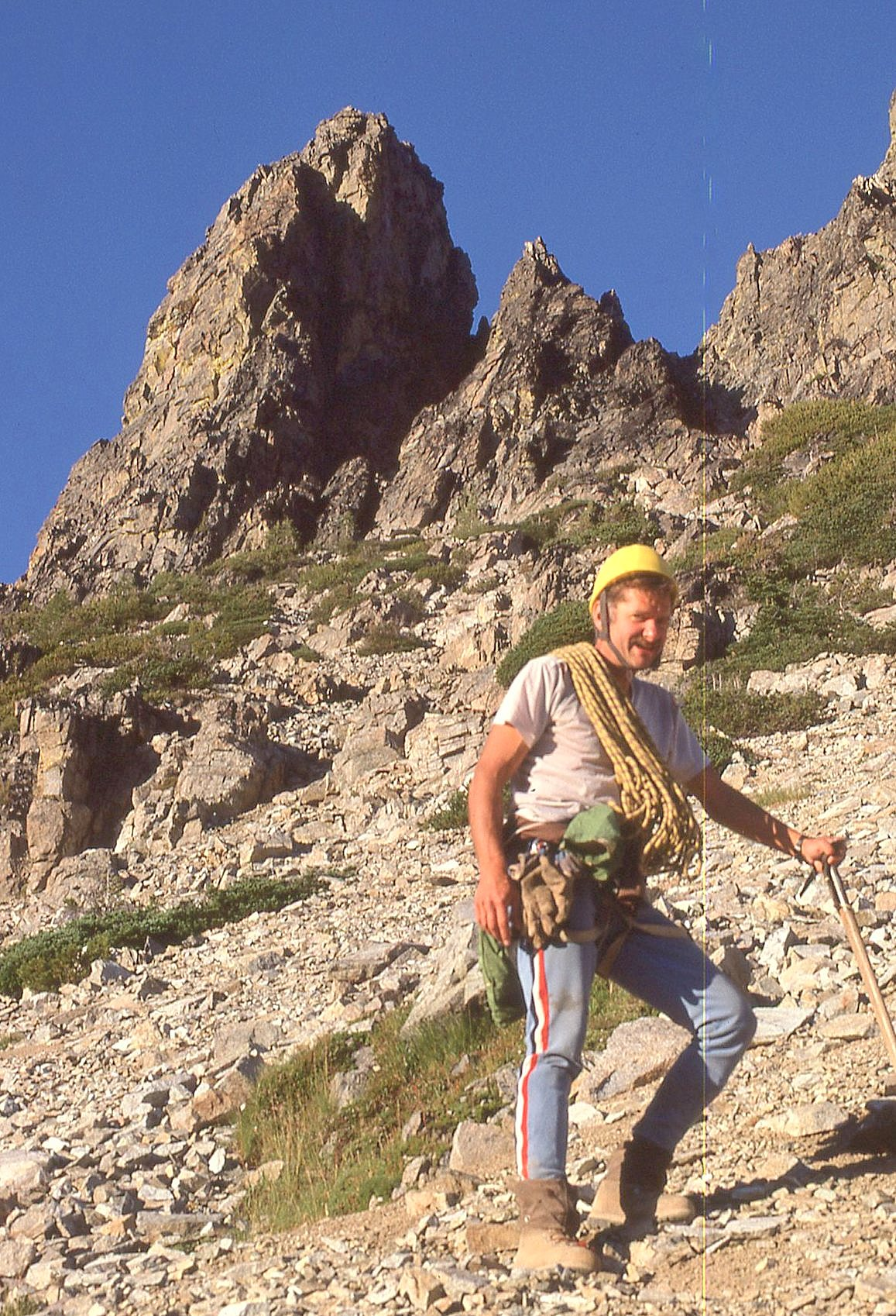
Copper Peak, NR up SW gully
8964’ on map (and a Bulger Top 100 peak). Lidar: 8965’ / P502
New route September 16, 1984
Thanks to Silas Wild and Bob Tillotson
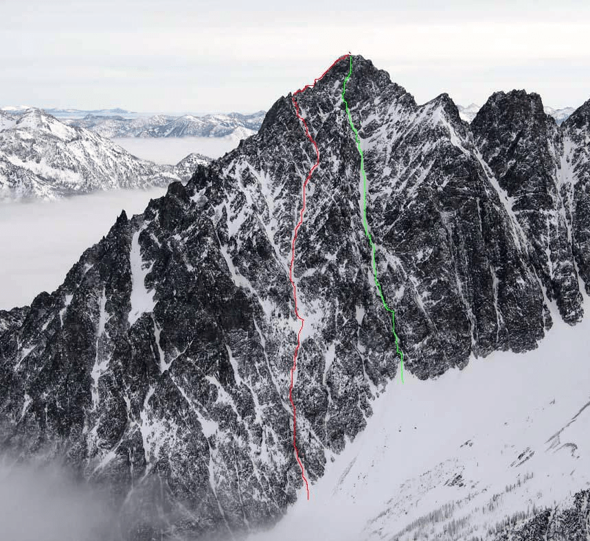
Our ascent route was class 4/easy 5 around a couple of chockstones. Going up our descent route would be easier.
“North BIG BOSOM BUTTE”
6384’ on map. Lidar 6384′ / P846
FA by foot September 28, 1984
Thanks to Mark Allaback
This descriptive anatomical name was applied by geologist Rowland Tabor.
From Twin Lakes we dropped into and up out of West Fork Silesia Creek leaving our overnight camp packs at the 5520+ ‘Cleavage Col’ between the “Bosoms” then tried a gully on North Bosom just this side of right skyline in photo below. This turned out to be more complex than expected. Moving left onto easier terrain we finished on the west ridge. Wood and wire left by helicoptering USGS surveyors on their field check from 1953 was found at the summit.
‘Accessory Nipple’ 5922’ / P182mn. Bump just N of North Big Bosom. Noted, but not climbed Sep 28, 1984. Minor, but still waits in 2025.

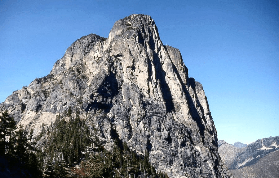
“South BIG BOSOM BUTTE”
6521’ map and Lidar / Lidar P467.
FA by foot/NR September 29, 1984
Thanks to Mark Allaback
Geologists Rowland Tabor and Doug McKeever were deposited by helicopter at ‘Cleavage Col’ and scaled the north ridge of this peak on Aug 2, 1967. Mark and I circled the west slope from our camp at Cleavage Col and finished on the south ridge the day after climbing the North Bosom.
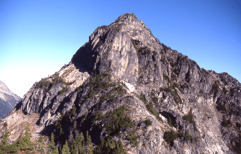
1985
Jordan Peak/BM
6397′ map. Lidar: 6403′ / P 1034.
First Winter Ascent March 17, 1985
Thanks to Mike Bialos
Up north ridge from Boulder Creek.
‘Kaiwhat Peak’
7100+ (15’ quad), 7120+ (7.5’ quad). Lidar 7135′ / P434.
Nepa May 19, 1985 with Reed Tindall.
Maps on LoJ (where Kaiwhat steals the prominence from Sho-ghud-ope) and PB. Green CAG-.
Lidar puts Kaiwhat at 7135’ and Sho-ghud-ope at 7142′.
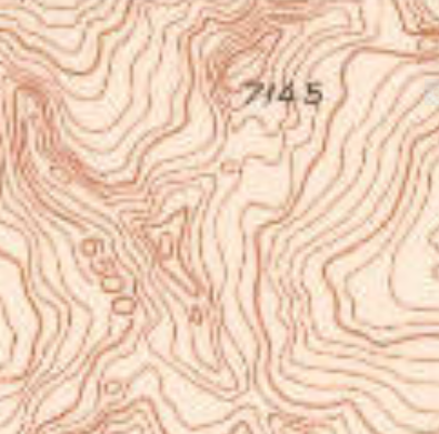
On the 1988 7.5’ USGS Gamma Peak quad ‘Sho-ghud-ope’ and ‘Kaiwhat’ show as the same 7120+ elevation.
Kaiwhat was the Suiattle Indian name for Sulphur Creek.
See: http://www.skagitriverjournal.com/RR/NP/Linsley/Linsley02-CivilEngineering193205.html
Beckey proposed the Kaiwhat name for the slightly lower pass one-mile north of Ross Pass.
‘SHO-GHUD-OPE’
7145’ (15’ quad), 7120+ (7.5’ quad). Lidar: 7142′ / Big P1295.
Nepa/?FA May 19, 1985 with Reed Tindall.
Maps on LoJ (yielding Pmean to Kaiwhat Mtn) and PB.
Green CAG records as 7145 elevation only, under “Sulphur Mtn Trail.”
Sho-ghud-ope was the Suiattle Indian name for this peak or the surrounding area which meant “gray earth” (credit Steve Fry, Harry Majors for reference). Recorded as a FA (nepa anyway) but probably not since it is the highest peak next to Sulphur Mountain Lookout whose attendant possibly wandered over here, via Kaiwhat.

‘Louie Louie’
7782’ map. Lidar: 7786′ / P279.
FA May 26, 1985
Thanks to John “Lizard” Lixvar and Russ “Koala” Kroeker
Named for its position above Louis Creek and Louis Lake, plus it’s the Unofficial Washington State Song.
See following photo. We crossed over this summit on the way from Reynolds to…
‘BA PEAK’
8142’ map. Lidar: 8145′ / Big P1285.
Epa/2A? May 26, 1985
With Russ Kroeker and John Lixvar
This was originally called “Bugger Mtn” by John Lixvar on his 1976 list of the WA Top 194 Bulger/P400’ peaks, borrowing the map name from Bugger Lake just north. Beckey suggested the commemorative name “Mount Gibbs” in his CAG for George Gibbs (1815–1873) an American ethnologist, naturalist and geologist. However some think that name refers to Bruce Gibbs, the second person to finish the Bulger List. Steve Fry called it “Grandfather Mtn” when he developed his list of the Top 100 peaks in Washington with 1000-feet of prominence in the mid-1980s. Sticking with the grandfather theme, when Aaron was learning to talk, he called his grandfather “Ba.” Google Maps previously had the “Ba Peak” label here.

ROBINSON MOUNTAIN ‘Crusoe Couloir‘
8726′ map. Lidar: 8729 / P 1700
New Route June 16, 1985 (not FA of peak)
Thanks to Reed Tindall
Up via 1000 foot steep snow couloir on north side
Twenty years later this was skied by Sky Sjue, Kam Leang, and Phil Fortier on June 15, 2005.
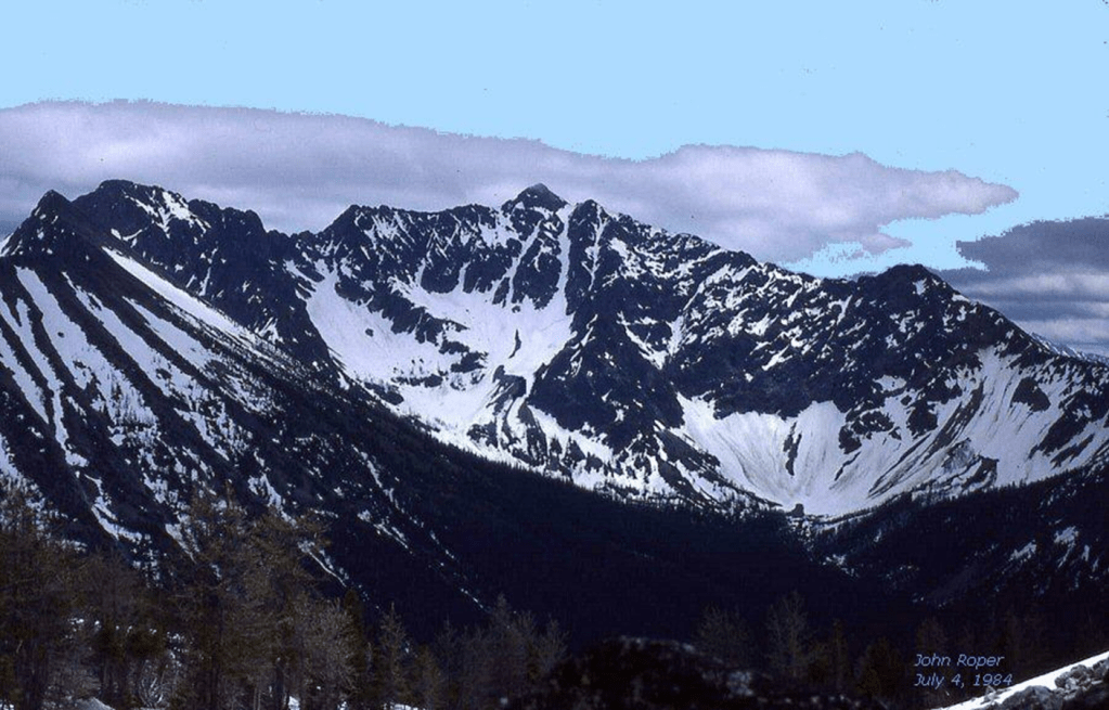
We descended from a pass off to the right in above photo, down across the snowy basin to the base of the snow couloir that shoots up to just right of the summit. I wrote then that “it’s just a matter of time before the skiers find it.” They did.
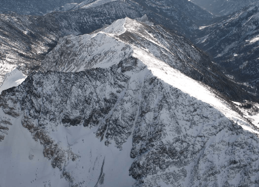
‘Eagles Beak’
8107’ / P167mean
FA July 3, 1985
Thanks to Russ Kroeker
Note that map elevation is recorded as 8107Tx. (T is temporary benchmark, and If the “x” appears alone, it is often an “unmonumented” point. In many cases these were determined through photogrammetry–analyzing aerial photographs–rather than direct field measurement.)
This is the lower pointy beak summit of Mad Eagle 8111’ (see 1979 above). We approached up this NE ridge from Depot Creek, finishing on the final class 4 west ridge.

‘Redoubt Pinnacles’
North ~8750’ & South ~8700’
FAs July 4, 1985
Solo
Map Not in LoJ, PB, or CAG.
SW of 8969’ Mount Redoubt summit.
Easier than they look. Dropped from the Redoubt summit while Russ Kroeker made contact with his ham-radio friends.
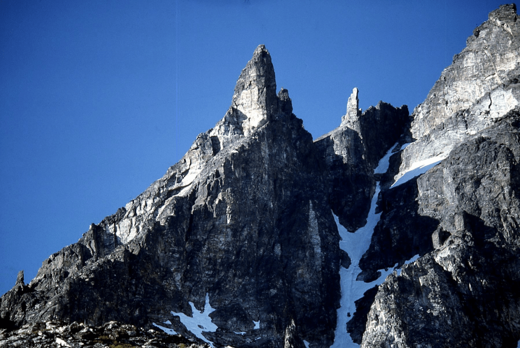
‘Spirea Spire’ 7102’
FA August 12, 1985
Thanks to Mark Allaback, Steve Allaback, Mary Quinn, Joe Medlicott
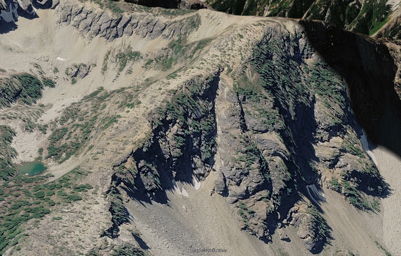
Not really a spire, more of an elevation mark on the map for a minor point hardly worth mentioning just NW of Sisi Ridge 7444’. It’s got an unheralded 800-foot steep N buttress above Sun Creek though. Named for its abundance of mountain spirea, Mark’s favorite mountain flower.
‘Yes Yes Peak’
7109’ map. Lidar 7114′ / P301
FA August 12, 1985
Thanks to Mark Allaback, Steve Allaback, Mary Quinn, Joe Medlicott
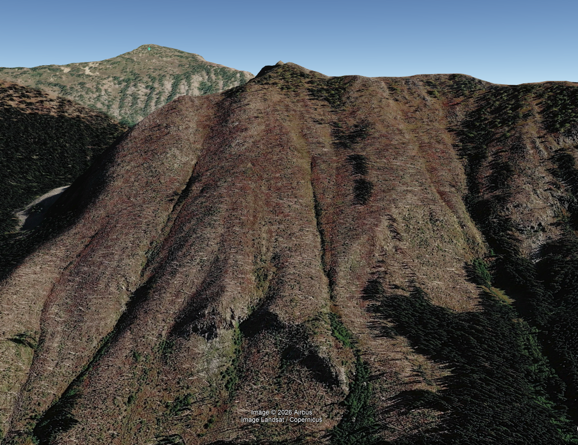
Running Sisi Ridge SSW from its 7444-foot northern high point, this was a play on “Si Si” amigo.
‘Oui Oui’
7120+ map. Lidar: 7153′ / P551.
Nepa/?FA August 12, 1985
Thanks to Mark Allaback, Steve Allaback, Mary Quinn, Joe Medlicott
Running Sisi Ridge south from its 7444-foot northern high point, this was a play on “Si Si” amigo.
Their were hints of a fire line in places along this ridge though.
‘Wish Mountain’
7200+ map. Lidar: 7212′ / P500
FA August 12, 1985
Thanks to Mark Allaback, Steve Allaback, Mary Quinn, Joe Medlicott
Map on LoJ and PB. CAG+ in small print under Lyall Ridge.
Named for the wishbone-shaped lake at its west base which looks more like a wishbone on the map than in real life.
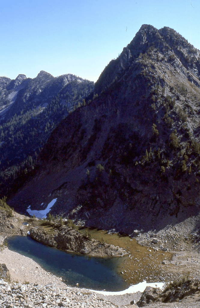
‘Alastor’
7326′ map. Lidar: 7341′ / P368.
FA August 13, 1985
Thanks to Mary Quinn, Joe Medlicott, Mark Allaback, Steve Allaback
Map on LoJ. PB. CAG+ in small print under Lyall Ridge.
Name given by Mary Quinn, Ph.D. a Keats/Shelley scholar for the poem Alastor; or, The Spirit of Solitude. by Percy Bysshe Shelley. We enjoyed the “Spirit of Solitude” as there was no one around for miles on our visit (or since as of 2025, 40 years later). See also Xor.

‘Xor Peaks’
7280+ & 7326′ map / P346mn
FA August 13, 1985
Thanks to Mark Allaback (as Steve, Mary, and Joe headed for camp at Emilia Lake)
LoJ 7326 as Alastor. PB-. CAG-.
Good-looking busty symmetrical twin summits. ‘Alastor’ name was applied to S summit here.
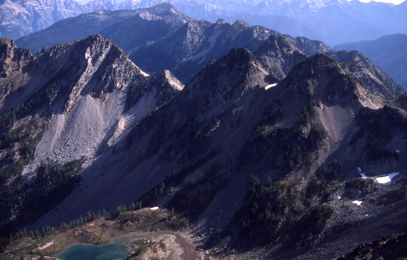
‘Heath Point’
7280+ map. Lidar: 7314’-7315’ / P299-P300 Lidar
FA Aug 13, 1985
Thanks to Mark Allaback
Southernmost point on Heather Ridge
‘Cassiope Peak’
7800+ map. Lidar: 7849′ / P398 (so close)
FA August 13, 1985
Thanks to Mark Allaback (as Steve, Mary, and Joe headed for camp at ‘Lake Emilia’)
LoJ. PB. CAG mentions in small type under Heather Ridge without credit.
This is a slightly lower southern summit on Heather Ridge. Cassiope is the genus name for heather.
HEATHER RIDGE
7928’ map. Lidar: 7951′ / Big P1175.
FA August 13, 1985
Thanks to Mark Allaback
Heather Ridge name appears on USGS Mount Lyall map. Beckey says it’s “easy” without giving ascenders credit. The scramble left to right (south to north) along this ridge was not entirely easy. This summit popped onto the radar of climbers going for the WA Top 300 by P400, and successfully accomplished by Eric Eames and John Porter.

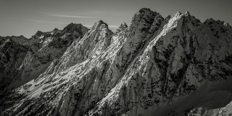
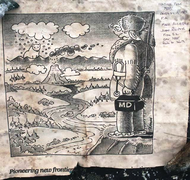
‘Baton Peak’
7680+. P160mn.
FA August 13, 1985 by Mark Allaback
Mark soloed this as I watched at the base of its rotten steep W face of this middle summit of Heather Ridge. I happily passed the Baton to Mark here when he was 23 and I was 41. Not on LoJ, PB, or CAG.
‘Mount Metamorphosis’
7745’ / P245mean on map.
Epa? August 14, 1985
Thanks to Mark Allaback
Not on LoJ, PB, CAG.
Named for its rock type. Looks better from the north than prominence gives it credit for.
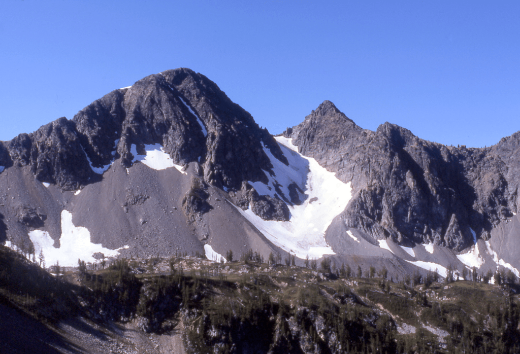
‘ID Peak’
7520+ / P280mn.
FA August 14, 1985
Thanks to Mark Allaback
ID Peak map. Not on LoJ, PB, or CAG.
The letters “ID” (of Lyall r ID ge) overlie the summit on the USGS Mount Lyall map. See photo above.
‘Conglomerate Peak’
7680+ map. Lidar: 7729′ / P412.
FA August 14, 1985
Thanks to Mark Allaback
For its rock type. SE of the highest point of Lyall Ridge, so 49 feet lower than the high point. See photo with Lyall Ridge.
LYALL RIDGE
7760+ map. Lidar: 7778′ / P799.
FA August 14, 1985
Thanks to Mark Allaback
Ridge name is labeled on map. This is the highest point.
We ran the ridge from the SE. Beckey writes that this ridge and nearby Mount Lyall were named for British geologist Sir Charles Lyall (a Scotsman who spelled his name “Lyell”). More likely named for the species of larch trees.


’Cube Rock’
5800’
FA September 28, 1985
Thanks to Monte Steere, Grady Steere (12), Nigel Steere (9)
We camped at the lakelet shown on satellite view which featured rock climbs the kids named “Splashdown” and “Almost Impossible” after our climb of Tommy Thompson.
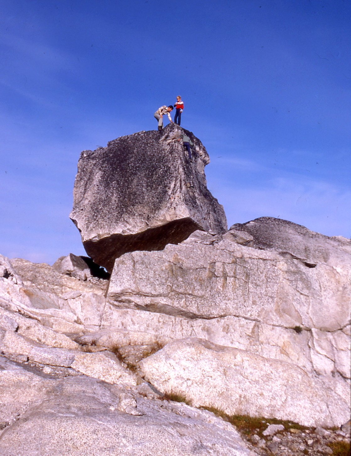
1986
‘Starlet Peak’
8040+ map / P320mn. Lidar: 8064′ / P333.
FA/Nepa June 21, 1986
Solo
Just SE of Star on a traverse from Oval to Star to Séance
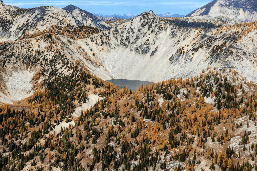
‘Séance Peak’
8067’ map / P467clean. Lidar: 8070′ / P486.
FA/nepa June 21, 1986
Solo
Highest peak at the south end of Spirit Mountain. A séance is an attempt to communicate with spirits or the dead. WA Top 200 by P400 peak. Approached along ridge from Star Peak.
“Ghost Peak”
8000+ / P200mean. Lidar: 7993′ / P237.
New route and 2A (second ascent) July 21, 1986
Thanks to Russ Kroeker and Silas Wild
Joan and Carla Firey, Dave Knudson, Peter Renz did the classic sun-shadow arête in 1970. Our NR and second ascent of this peak was farther left on the class 4-5 sunny face and gullies.
‘Glissader Peak’
7680+ / P160mn.
Thanks to Dusty Steere (13-years old), Grady Steere (12), Toby Steere (11), Nigel Steere (10)
FA/nepa August 9, 1986
Map, at crosshairs
Dusty named this for the climbing skill the young cousins and brothers were perfecting as we descended.

‘T’s on a Bull’ W Pk
8000+ (15’ USGS Holden), 7920+ (7.5’ USGS Clark Mtn)
FA August 13, 1986
Solo
Twin summits, when viewed from the south were regarded “worthless as…” by my companions. Just east of “Luahna Peak,” it is easily done from there. They look pretty good from the north. The name was politically corrected to ‘Butterfly Wings’ (see 1989).
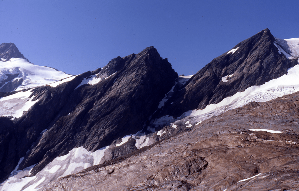
‘Cocoon’
Summit at crosshairs, shown as 8151′ on old map below.
“Neyah Point”
8201′ / P401 Lidar
No evidence of previous ascent August 14, 1986
Thanks to Steve Allaback and Joe Medlicott
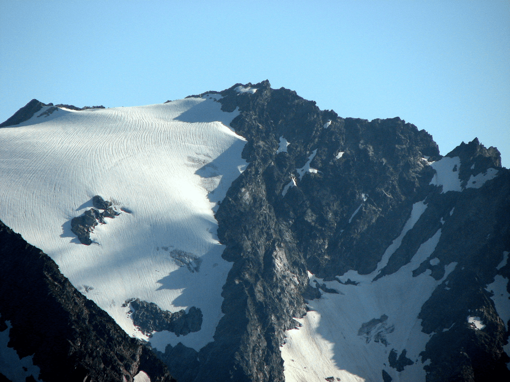
Neyah likely had a previous ascent. It is a new Lidar addition to the WA Top 200 by P400. In his guidebook, Beckey states this name “means ‘good spirit’ in Algonquin Chinook.” But Chinook is a Pacific NW trade jargon, and Algonquin is an entirely different, Indigenous-language family spoken in Eastern Canada and the Great Lakes region. In CAG, he surmises routes from S, E, N, and NW but (“details not available”) for this peak. Per AI, similar-sounding words in related Algonquian languages (Ojibwe/Cree) have the following meanings: “Niya/Niyâ” (Cree): An interjection that can mean “go ahead!”, “go on!” “Niyaa” (Ojibwe): An interjection with translations like “ah!”, “alas!”, “oh my!”, “oh goodness!”
‘9 Peak’
8100+. Summit at crosshairs.
Nepa (no evidence of previous ascent) found on Cocoon, Neyah Point, or 9 Peak August 13-14, 1986.
Thanks to Joe Medlicott, Steve Allaback
‘Cocoon’ is above Butterfly Glacier. ‘9 Peak’ is SW of Tenpeak Mtn (see ‘8 Peak’ for photo).
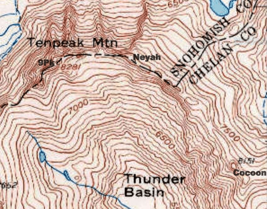
‘Dark Fin Tower’
7400+ map / P120mn. Lidar: 7487′ / P136.
FA August 31, 1986
Thanks to Mark Allaback
Maps on LoJ and PB. CAG+ in small text under Dark Peak.
Named for its shape, its proximity to Dark Peak, and that Joe Vance who made the FA of Shark Fin Tower in 1949 was with us this day to climb Dark. Looks hard, but no technical problems.

‘Anonymity Tower’
8000+ map / P200mn. Lidar 8009′ / P209.
FA August 31, 1986
Thanks to Mark Allaback
Maps on LoJ and PB. CAG+ in small text under Dark Peak.
Photo above.
Dark Peak was nearly unknown before coming out on the Bulger List. In 1986 on our ascent, no one knew what Mark Allaback had been climbing in the North Cascades. Between 1977 and 1993, Mark climbed 210 WA Peaks. 87 of them were First Ascents. 26 were Second Ascents. Other Anonymity Towers to the SE are higher and still hiding as of 2025.
‘Mount Tragedy’
Lidar 7841′ / P611 Lidar
FA September 2, 1986
Thanks to Mark Allaback
Maps on LoJ and PB. CAG+ as Sable Ridge with no ascent credit.
This is the highest point and the southernmost peak on map-labeled Sable Ridge. Approach was from Holden Pass after climbing Bonanza.It has four nearly equal summit tops.
Master horse packer Ray Courtney from Stehekin died near Hilgard Pass at the base of this peak as he and his horse tumbled off the trail in 1982, when he was 62. Ray on right. Courtney Peak is named in his honor. Mountaineer Annual 1983-90, see pp. 84-86.
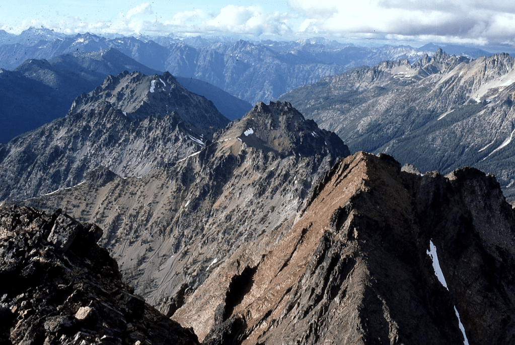
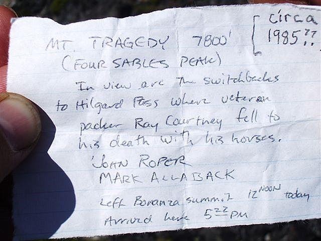
1987
‘Cloudcaplets’
6062′ & 6019′ on map/ P162mn.
FA June 18, 1987
Thanks to Reed Tindall
We approached these twin bumps up the SE ridge of Cloudcap/Seahpo from Baker River on failed attempt on a new route up Cloudcap Peak. Camped on top.
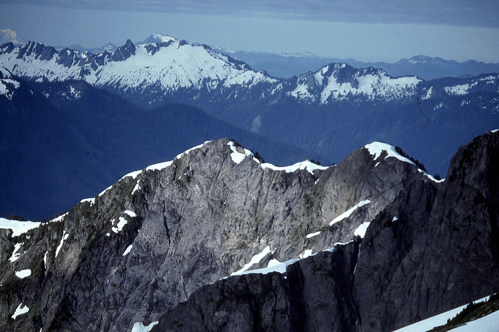

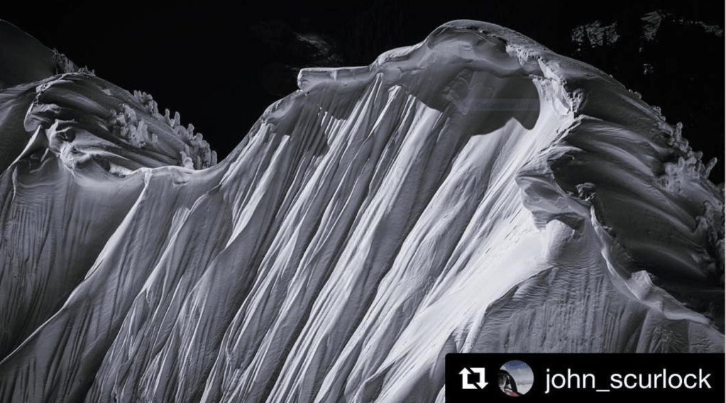

‘Baekos Peak’
7529′ map. Lidar 7533′ / P486
FA June 27, 1987
Thanks to Mark Allaback
Moved this unusual creek name uphill. Unknown meaning, but a now dead link once said Baeko means “Explorer, Great Companion, Trustworthy,” all qualities which describe Mark. Lots of white water in this creek shows up on the satellite view.

‘Tzum Mtn’
6803′ on 1950 15′ USGS Glacier Peak. 6824′ on 7.5′ map / P204mn.
Nepa June 28, 1987
Thanks to Mark Allaback and Carla Patopea
Tzum Map. Map on PB for ‘Brown’. Not on LoJ or CAG.
Tzum and Brown are unnamed summits on either side of Black Mountain. Other peaks along this ridge had cairns without registers in 1987. Hardly worth mentioning, but Tzum is a good Chinook Jargon name meaning “mixed colors” midway on the ‘Painted Traverse.’ It had also been called ‘Greenback Mtn.’
These colors reflect the “Painted Traverse,” a high route along the ridge north of the N Fk Sauk River from Red/”Painted Mtn,” continuing over Skalabats, Magenta, Tzum, Black, Brown, Purple, White Mtns, or going the other way from the E to W, as we did. This 15-minute 1950 USGS Glacier Peak map snip has added names below. The 7.5’ map shows different elevations.

.
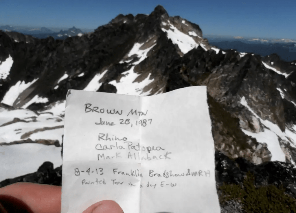
‘Magenta Mountain’
6735’ 7.5’map. Lidar 6738’/ P496.
Epa/2A? June 29, 1987 (small cairn, no register)
Thanks to Mark Allaback and Carla Patopea.
Along the Painted Traverse. E of Painted/Red Mtn, W of Tzum. Has sort of a faint magenta color to it.
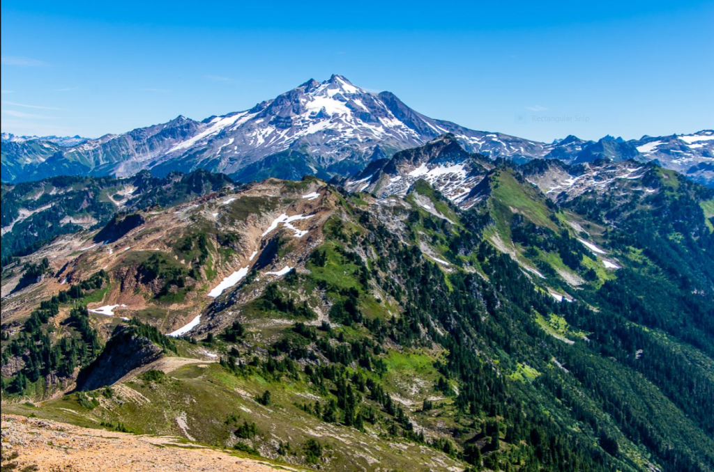
‘Skalabats Peak’
6697’ 7.5’ map. Lidar: 6658′ / P548
Epa/?2A June 29, 1987 with Mark Allaback, Carla Patopea.
We found a rusted geologist’s rock hammer near the top. No register.
This is the Sauk-Suiattle word for “Painted.” Named for the creek to south.

‘Tahlak Peak’ aka ‘Little Skalabats Peak’
6476’ / P216mean
FA/Nepa June 29, 1987 with Mark Allaback, Carla Patopea.
Map. Not on LoJ, PB or CAG.
Just S of Skalabats Peak (see) and N of Skalabats Creek.
Also N of Tahlak Creek, just to keep another Indigenous name alive.
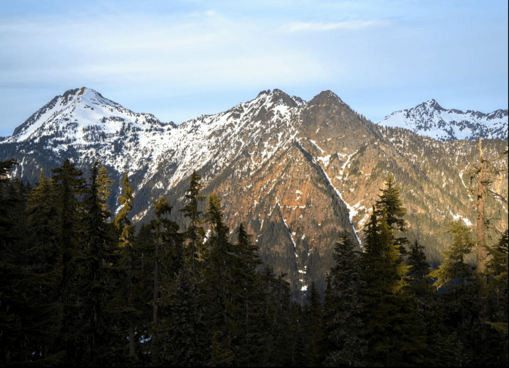
‘Little Shull’
7440+ / P160mean
Nepa July 17, 1987, but likely previously climbed
Passed over this NE subsummit of Shull Mountain on descent. Hardly worth mentioning.

‘Knuckle Knob‘
6200+ on online map. I had written it down as 6300’.
FA/Nepa July 26, 1987
Thanks to Gary Mellom and Joel Mellom
Summit at crosshairs. CAG–
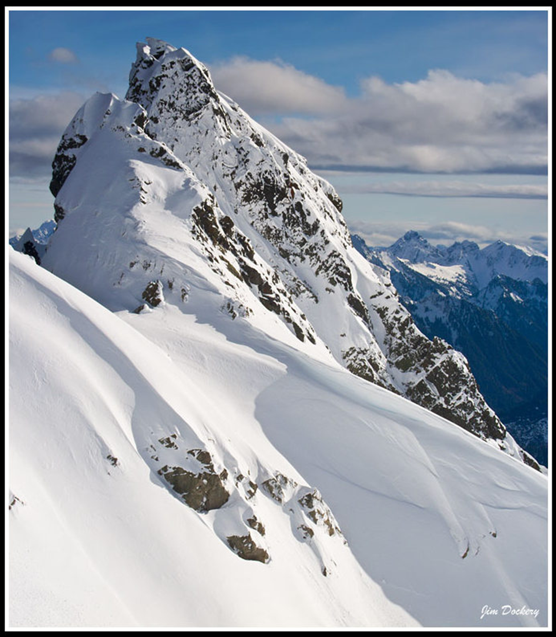
After visiting the Three Fingers Lookout, we circled south to pick off what appears from many angles as a rounded knuckle at the base of the lookout finger. Jim’s photo does it much more justice. Gary roped us up.
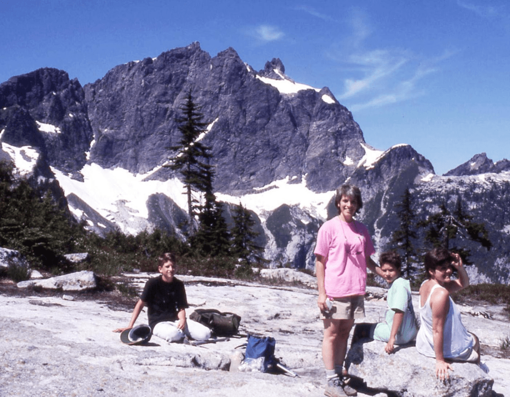
Knuckle Knob looking less daughting, left of Three Fingers from east at Squire Pass. Enlarge.
3 Fingers, Knuckle Knob video by Long Bach Nguyen.
‘The Log’
7120+ / P280mean
FA August 8, 1987
Thanks to Charlie Janeway, Jeff Janeway, Roy Farrell, Marshall Eaton, Carla Patopea
Lying on the ground after Paul Bunyan fell his tree leaving Paul Bunyans Stump.
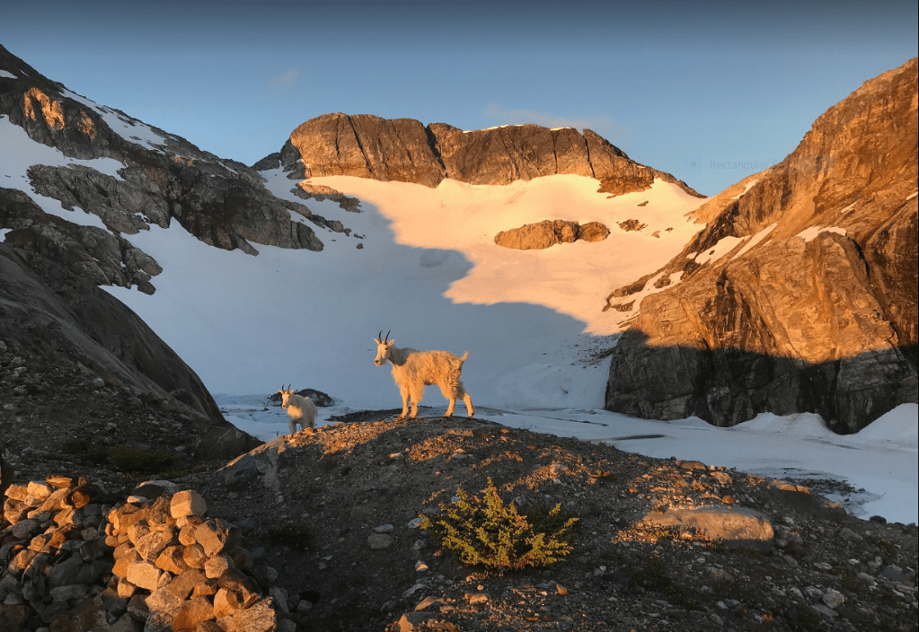
‘Snowflake’
7760+ / P80
Nepa August 8, 1987
Solo
Map (mislabeled as The Horseman)
Miniscule point likely climbed earlier by someone thinking they were doing The Horseman.
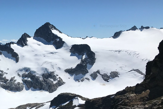
‘Snowball Peak’
7920+ / P200mn.
FA August 8, 1987
Thanks to Carla Patopea
Map at crosshairs
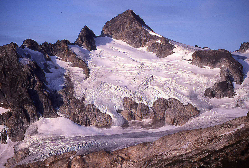
1988
‘Teddy Bear Point’
5351’ Cute, but minimal P.
Nepa June 21, 1988
Solo
This frontal point looks like the head of a teddy bear with two ears from the Mountain Loop Highway. A mining drill was found at the base, so there’s a good chance that a miner went to this top. Going to this elevation-mark was an afterthought following a CCW loop from Stillaguamish Peak and ‘Pemmican Peak’ (previously unnamed). The bushwhack drop back to Perry Creek trail to complete the loop was unpleasant.
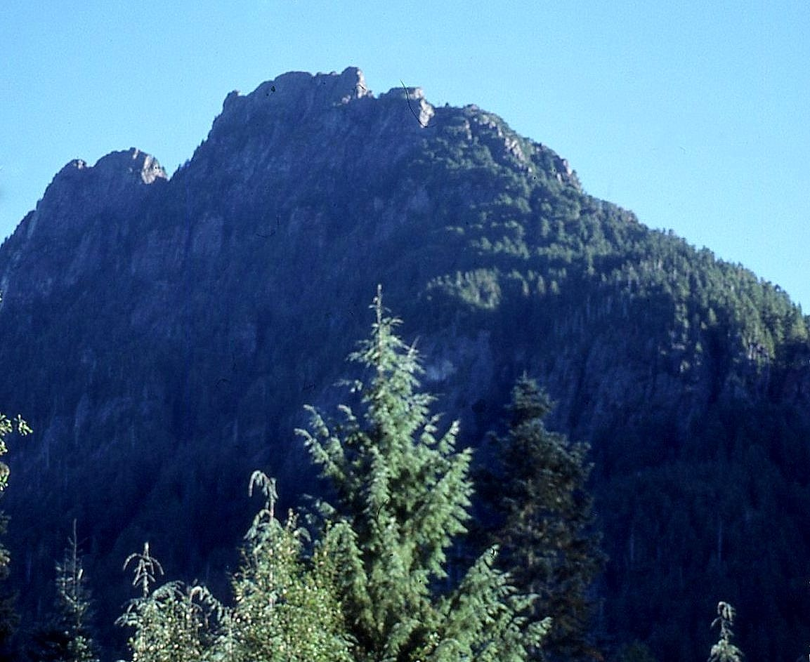
‘Spocks Ear’
6200+ P 60, maybe more.
Nepa/?FA June 25, 1988
Solo
This peak looks like the pointy ear of Spock, from Star Trek.


‘Clean Peak’
6783’ map. Lidar: 6788′ / P370.
FA August 6, 1988
Thanks to Mark Allaback
Above Bath Lakes, plus we found this summit to be “clean,” with no cairn.
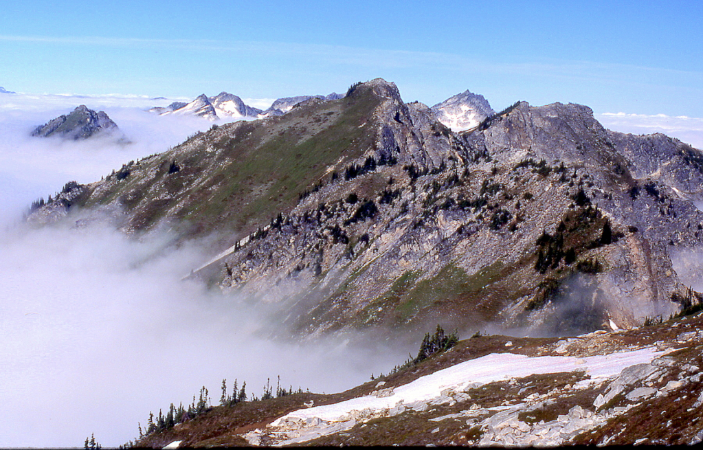
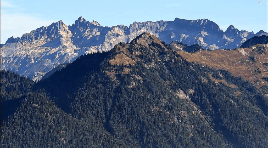
‘Bath Peak’/’Shower Peak’
6956’ map. Lidar: 6963′ / P379.
Double summit
FA August 6, 1988
Thanks to Mark Allaback


‘Quiet Ridge I’ 7080+
‘Quiet II High Point‘ 7080+ P320mn
‘Quiet III’ 6960+
‘Quiet IV’ 6960+
‘Quiet V’ 6840+
‘Quiet VI’ 6868
FAs August 7, 1988
Thanks to Mark Allaback
Map on LoJ. Not on PB or CAG.
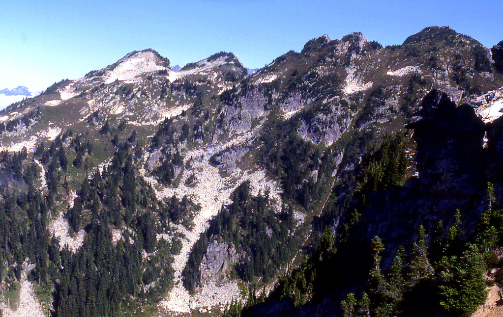
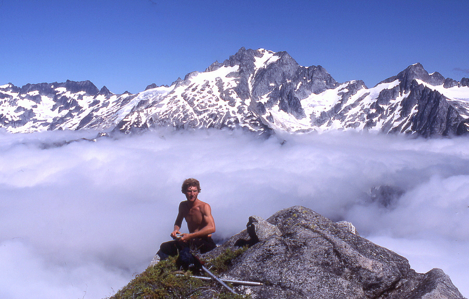
“STONEHENGE RIDGE”

Nepa on all but Stonehenge 5 (7320+ on map) and possibly Stonehenge 7 August 7, 1988
Thanks to Mark Allaback
On a west to east summit ridge-run.
First ascents of some/all of these are unknown.
There was a 1930’s/CCC? lookout stationed on the W ridge of Bannock Mountain below its summit.
So the lookout ranger there may have wandered over to break the boredom.
‘Stonehenge 5‘ is the ridge high point and had a cairn, but no register. 7415’ Lidar/P815 Lidar. Online map is missing a contour line.

The peaks were numbered left/east to right/west from Totem Pass with current 7.5’ map elevations:
Stonehenge Ridge 1 7078 left, behind tree is above Totem Pass and on PB as “Totem Point.”
SH 2 7260T just left of Glacier Peak (we camped on its flat south ridge)
SH 3 7280+ the blocky summit in front of Glacier
SH 4 7280+ point on right edge of Glacier
SH 5 High point, but map is missing a contour since this peak is higher than spot elevation 7362 to W
SH 6 7362 which the map shows as the HP,
SH 7 7240+ several little bumps, to
SH 8 7346 on right.
The Stone Pinnacles are the two little 7200+ crags right/west of SH 8.
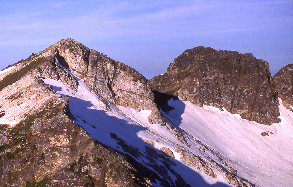
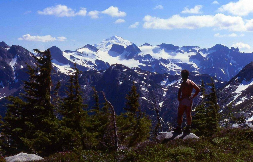

‘Little Big Horn’
7680+ map / P320mn. Lidar: 7695′ / P331.
2A? (second ascent) August 8, 1988
Thanks to Mark Allaback
LoJ and PB. CAG+ as “South Peak” of Sitting Bull.
Horn-shaped peak just SW of Sitting Bull Mountain. Little Bighorn was the site of Custer’s Last Stand where Cheyenne and Lakotas led by Sitting Bull were victorious. We found a piece of old, rotten 1-inch manila rope near the summit possibly left by a 1949 FA party.
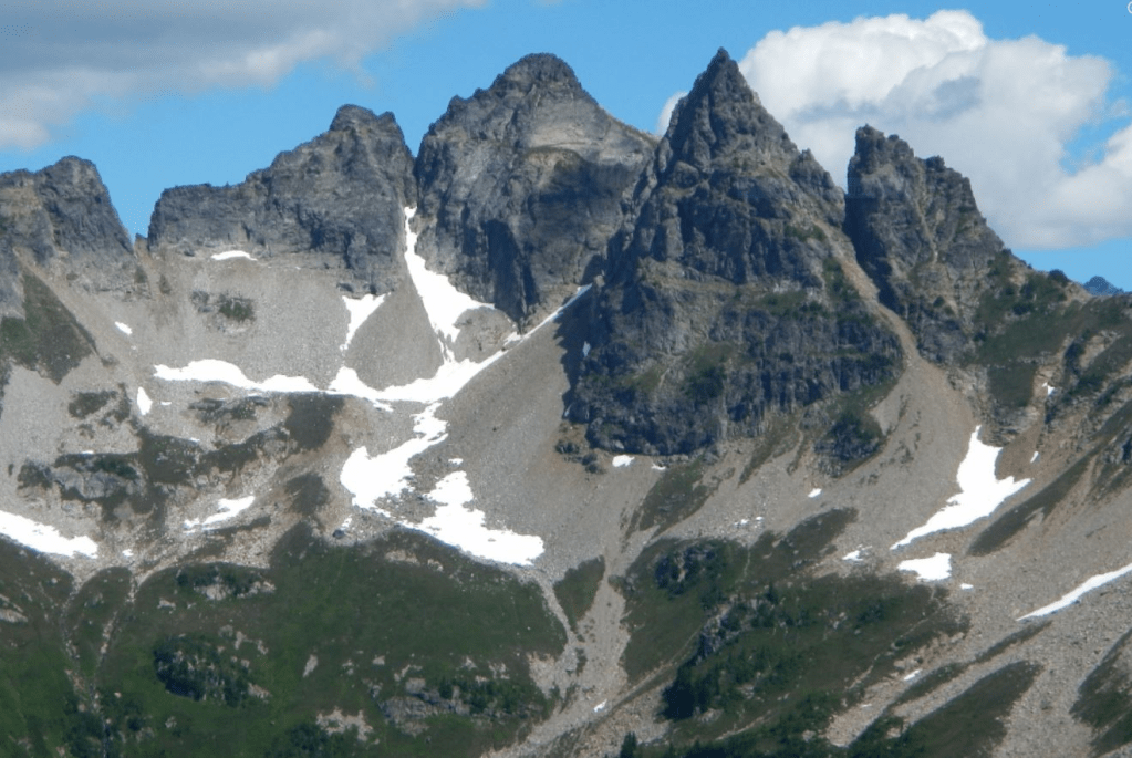
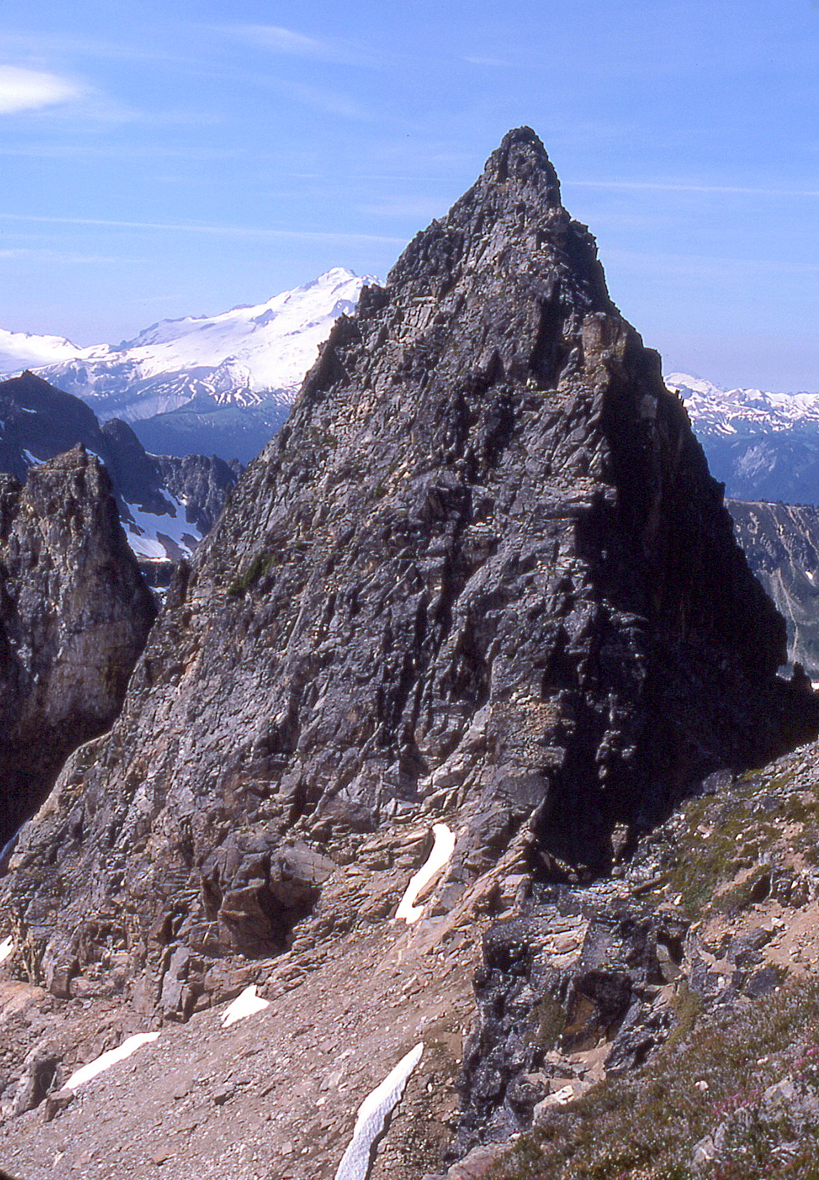
‘8/8/88 Peak’
7509′ / P249mn. Lidar: 7508′ / P321.
FA August 8, 1988
Thanks to Mark Allaback
Named for the date of our climb, up the south ridge.
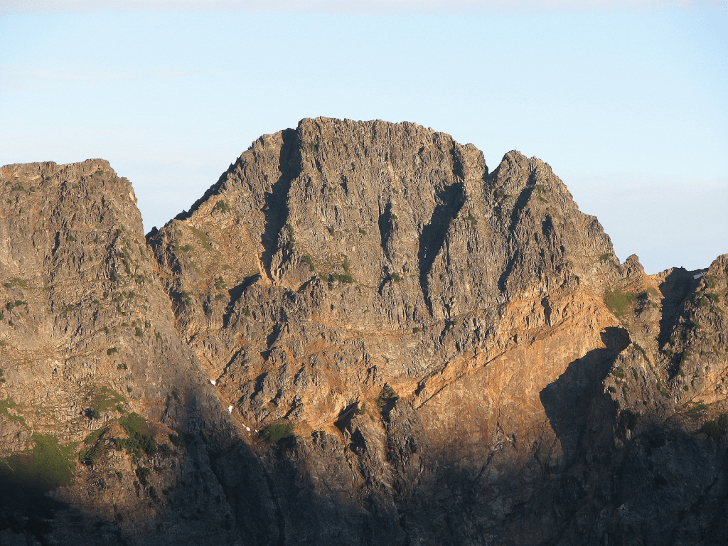
‘Like-It Spire’ ~7700+
‘Leave-It Spire’ 7700-
FA August 13, 1988
Thanks to Silas Wild and Mark Allaback
Minor pinnacles NE of E Kololo, Silas announced “I like it” as it looked sort-of good as we approached from the north. ‘Leave-It’ is just south and less impressive.
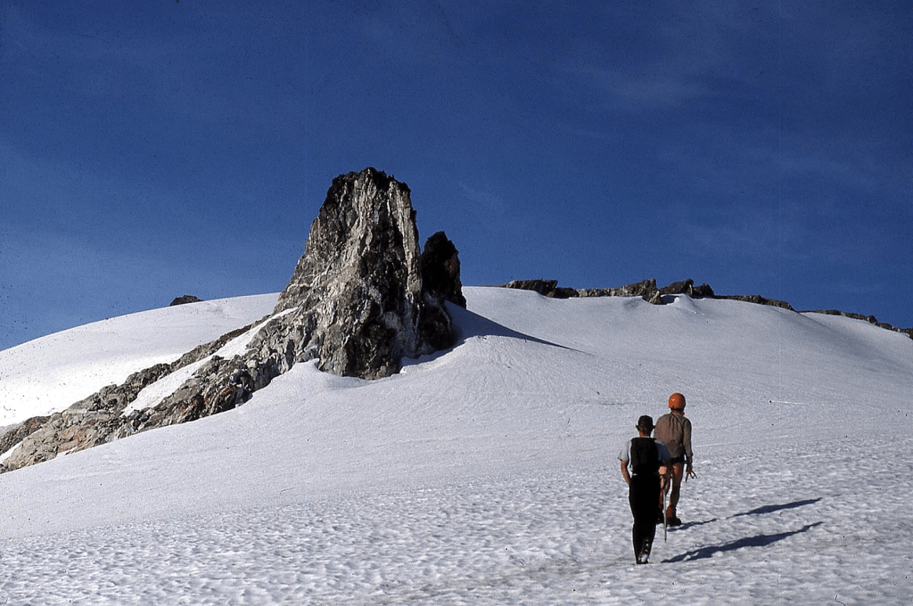

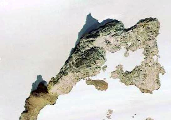
‘Hammerhead Peak’
7900+
FA August 13, 1988
Thanks to Silas Wild and Mark Allaback
Interesting crag with a bulging top shaped like a hammerhead shark. Uphill from ‘The Stinger.’ Short roped move. Kodak lost my film so there’s a gap in my slide collection. You will recognize it when you’re there.
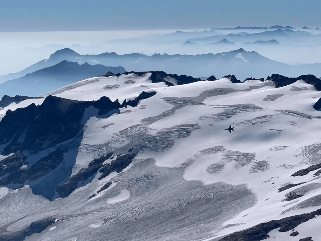
‘Stinger Spire’
7800+
FA August 13, 1988
Thanks to Silas Wild and Mark Allaback
Above Honeycomb Glacier. It looks like the stinger of a bee. Short roped move. Kodak lost my film in processing.
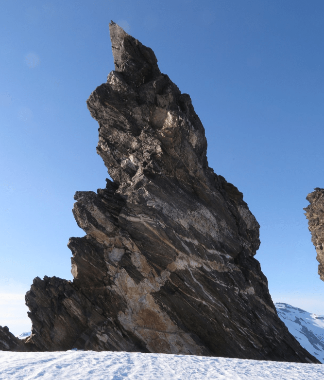
‘The Hive’
7560+ map. Lidar 7707’ / P614.
FA August 13, 1988
Thanks to Mark Allaback and Silas Wild
Named for its location above the Honeycomb Glacier. ‘The Bishop’ is a small bishop’s-mitre shaped rock form on the east ridge of The Hive, also climbed.

‘8 Peak’ 8000+
‘7 Peak’ 8100+
FA or nepa August 14, 1988
Thanks to Mark Allaback and Silas Wild
Lesser SW summits of Tenpeak Mtn.
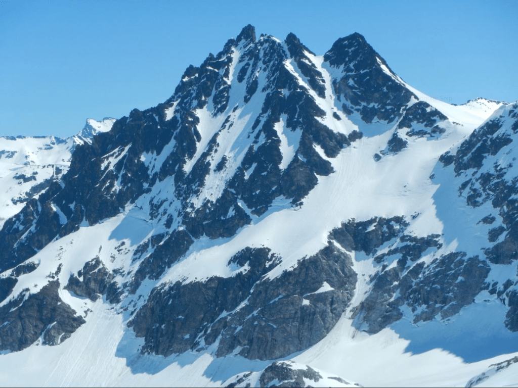

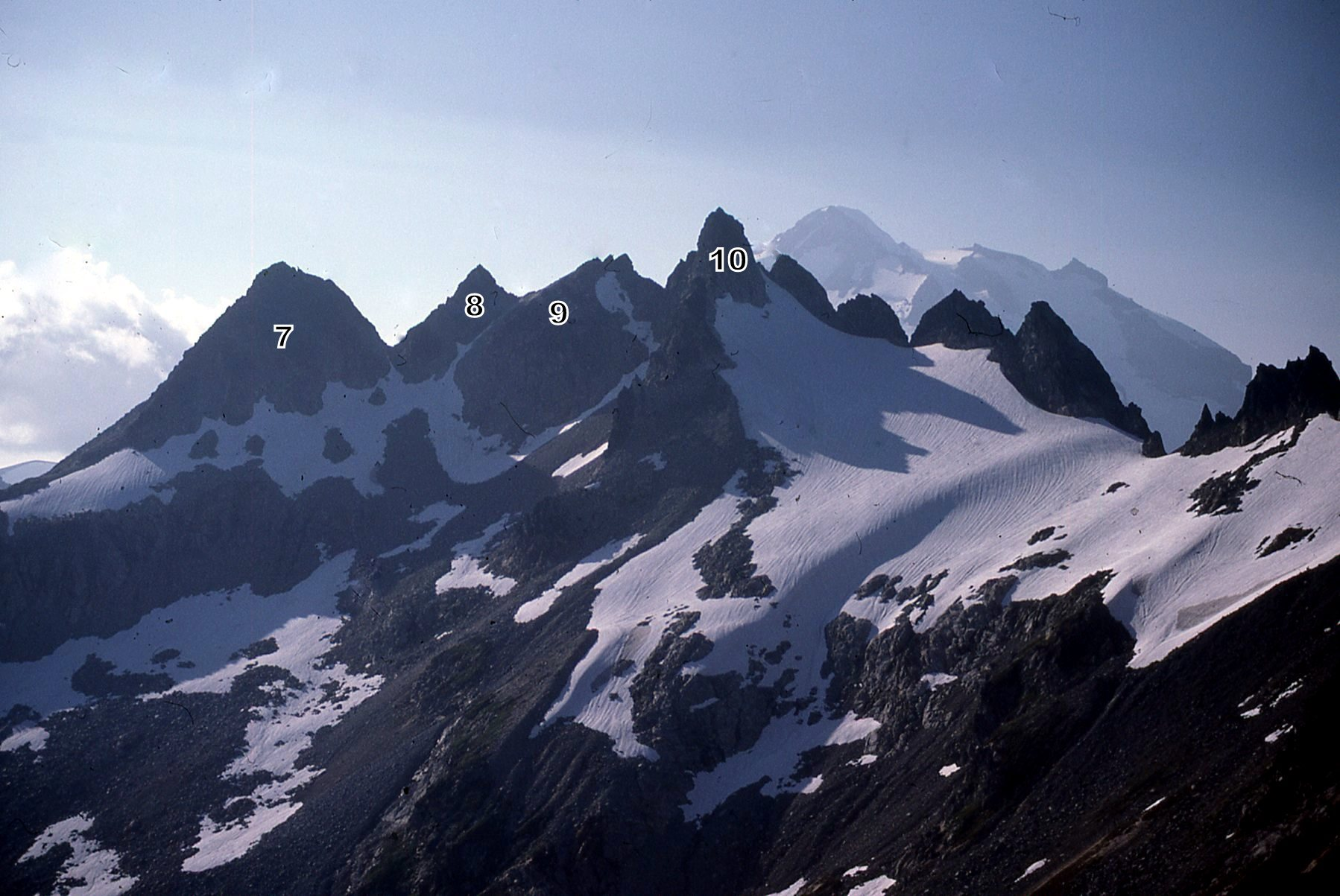
‘Pumice Point’
7440+
Nepa August 14, 1988
Thanks to Mark Allaback and Silas Wild
Insignificant eminence SW of Tenpeak covered in Glacier Peak eruptive pumice.
‘Bolt Peak’
6613’ map. Lidar: 6620′ / P572.
FA August 14, 1988
Thanks to Mark Allaback and Silas Wild
Name play on peak between Lightning Creek and Thunder Creek.
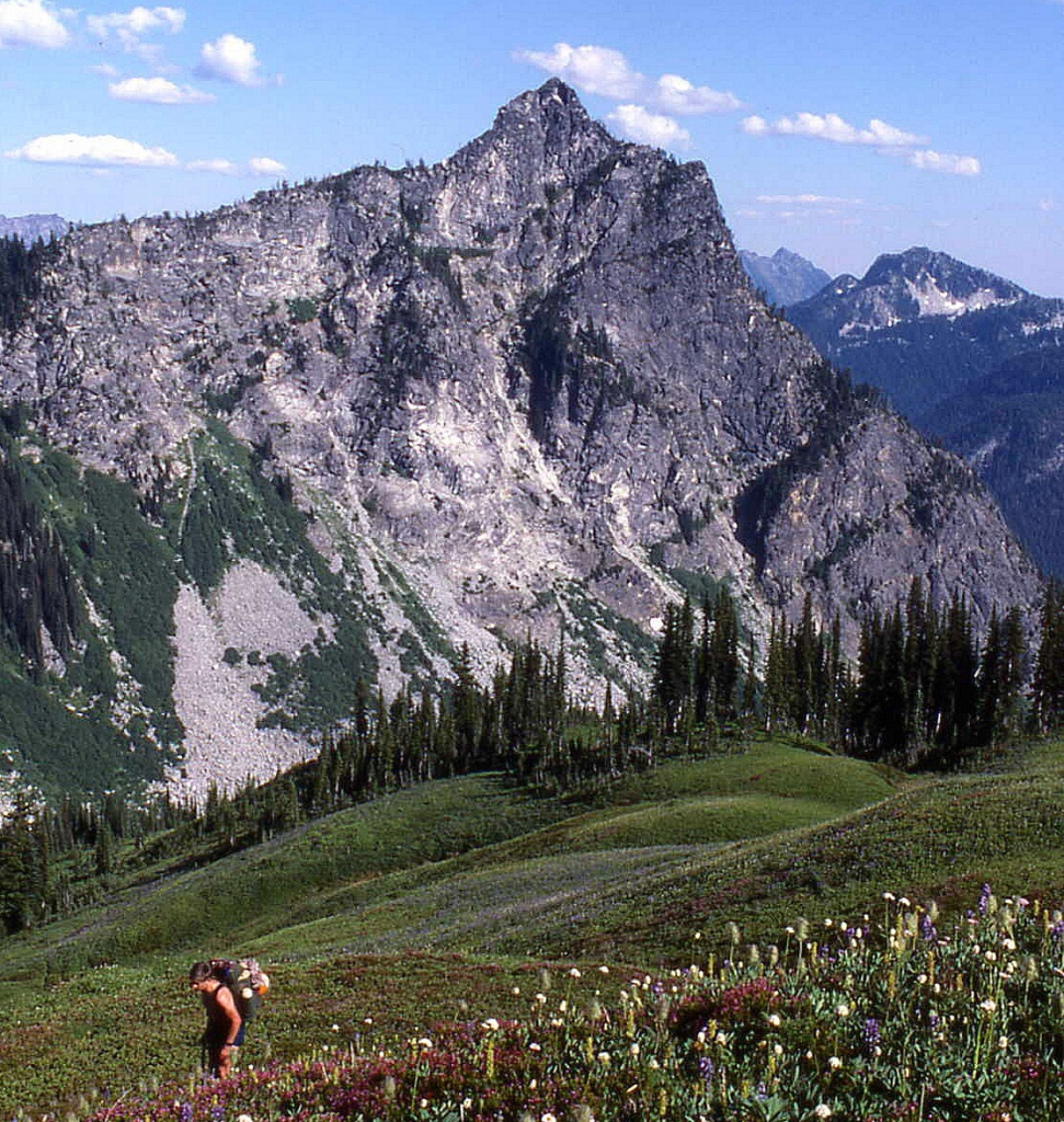
‘Sumallo Peak’
7700+ on map. Lidar: 7710’ / P492
FA August 18, 1988
Thanks to Mark Allaback
Maps on LoJ (at crosshairs) and PB (where Sumallo Peak is mislabeled as Mount Rideout). CAG +
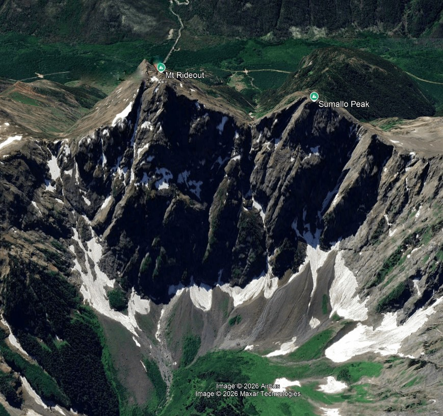
This is a British Columbia peak about 10 miles north of the US Border at the very head of Sumallo River, one of the main terminal forks of the Skagit River, between Mounts Rideout and Payne. Hydrating the night before with an adequate amount of Canadian Kokanee beer we hoofed it up the NW slope to the top of Silvertip Mountain then dropped west to the saddle with Mount Rideout where we left our overnight packs and continued to Rideout. There were some tricky spots descending west to the Sumallo saddle. We ran out of time to get Payne so contoured around the south slope of Rideout back to our camp.
1989
McKay Ridge
7000+ / P800mn.
Nepa May 4, 1989
Solo
But…The 1938 Skagit Ranger District trails map takes this one off the FA rack. There was a “F[oo]t Way” up “Kay Rdge.”
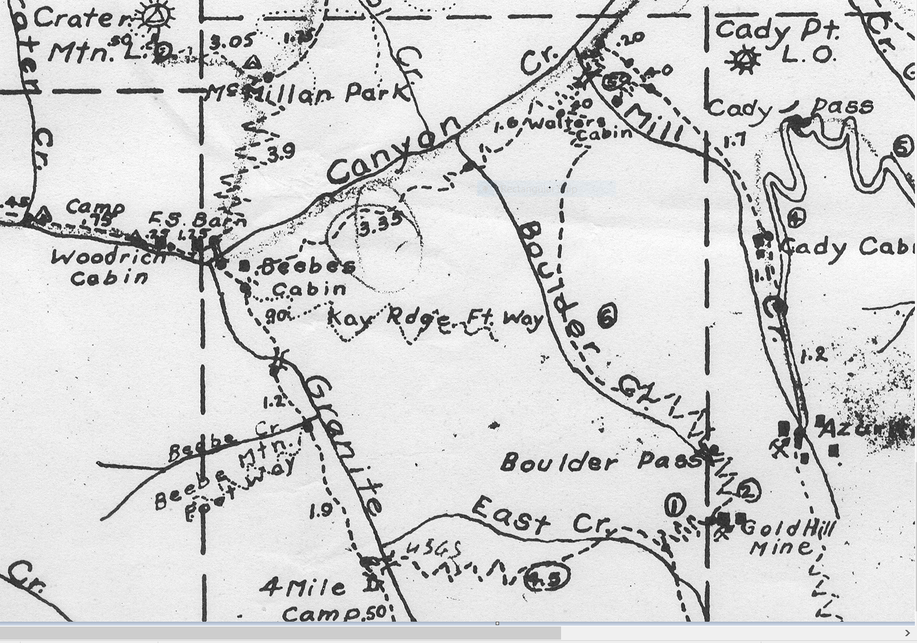
‘Butterfly Wing’
7700+99 (15’ map), 7720+ (7.5’ map) / P240mn (looks like more on photo)
FA August 12, 1989
Thanks to Rose Lochmann
Peak at crosshair Not on LoJ, PB, CAG.
SW of Butterfly Butte


‘Doe Mtn’
7840+ / P200mn
FA October 7, 1989
Thanks to Dick Kegel
Peak at crosshair (highest contour was reached). Not on LoJ, PB, CAG.
Play on neighbor Buck Mtn name, plus financial discussion.
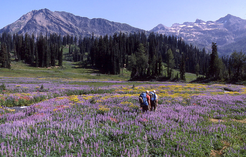
LUNA PEAK
First Winter Ascent
December 28-31, 1989
Thanks to Silas Wild, Russ Kroeker, Paul Michelson, Jim Burcroff
Map of Luna Peak and ‘Axes/Access Creek’
(written 1990)
Silas Wild started the ball rolling the day after Christmas 1989, calling Russ Kroeker and me, with an eye on the Pickets. Thoughts of Picket plums were always dancing somewhere in our heads back in the day. We all love the place. Silas’ first thought, and one he did not easily give up on, was to do Inspiration. This would be the first winter ascent (FWA) of Inspiration, and something that needed to be done quickly he thought, because “the skiing Skoogs” were after it.
Russ and I were skeptical of the conditions this 1989 year though, since a recent light storm had brought powdery sugar snow to the high elevations likely making the steep Inspiration route treacherous. Also, the finish there is on the north and lee side. Unwise. So we opted for Luna.
I called Ross Lake Resort via a direct line now from Seattle, and Carol, owner Tom Barnett’s girlfriend of the last two years, answered. She wasn’t sure he was running any boats up the lake on the off season. But Tom soon called back that he was. We arranged a Picket-up time.
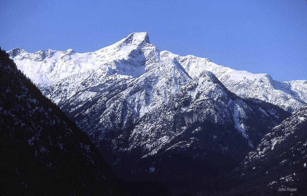
Thursday, December 28, 1989. Because a small storm blew in on Wednesday December 27th, we decided to get a slow start (7 AM) out of town. I drove Russ up and heard the story of the last and “best year of his life,” which started with Habiba leaving him for a number of reasons, one of which was that he was Godless. He became God-full in February, and quite remarkably turned his life around, and she came back, but there remained an ongoing disagreement between his God and her Jehovah’s Witness ideology. Two hours of that and we were in Marblemount at the National Park Ranger Station where we met Silas, along with Paul Michelson and Jim Burcroff, a couple of energetic-looking 29-year olds he had commandeered for youthful help with punching steps in the snow.
Merlene Buller, a Marblemount native who had been there since the Forest Service days, and a new face, Cheri Cook were in the main office to sign us out. A couple years before, Russ had left his Sherpa snowshoes in Stehekin and only had a pair of leather and wood bearpaws which were not as agile. He asked to borrow a pair of the Park Service’s snowshoes, something Bill Lester had let him do once in the past. Bill was off for the holidays though, but Marlene called him up, and he was kind enough to drive in while we registered.
He took us to one of the back buildings and into the storeroom where Russ picked out a pair of Sherpas. In this same building three men and a woman seemed intent on various rock collections before them. It turned out they were archeologists who were analyzing Indian artifacts they’d collected in the park, supported largely by Seattle City Light money. Their chief, Bob Mierendorf, was introduced and seemed curious about who we were, then showed us various samples of “arrowheads,” pounding-rocks, hatchet heads, even a half-inch specimen of sharp quartz that they postulated was possibly used for some kind of surgery. They felt that some of these dated to 6700 years ago. The Indians cooked in tightly woven pots that were placed in the ground, filled with water, and then heated with rocks from the fire. Some of their samples were quite convincing, but other round pounding-rocks looked pretty ordinary. He was appropriately secretive about their discovery sites, properly concerned that samples would be taken without scientific analysis.
So it was a late start. Tom Barnett picked us up at Ross Lake and zoomed us up the 6 miles to Big Beaver in no time. He’s 35 now, bearded and getting gray, turning into a legend of his own. He’s been on the lake 18 years now since 1972, when he worked summer jobs at 17. He owns the resort with four outside partners.
We stepped on the Big Beaver trail at 11:39 AM. 1½ hours to 39 Mile Creek (named for its distance from Marblemount), 5 miles up the trail. The older HFK [Himmelfahrtskommando, Russ, Silas, and John] were in our running shoes, the boys were wearing their plastic boots. I’m surprised they did as well as they did. It was another 2 hours to Luna Camp and another 15 minutes to the Axes (aka Access) Creek turnoff. 4 hours total to this creek, 9 miles up, 4:05 PM. Silas led us down to Big Beaver Creek, and by luck straight to a snow-covered log crossing. The snow was about 5 inches deep here at 2500 feet. It was dark by 4:30 as we finished setting up the tents. We cooked and ate by headlamp.
Friday, December 29, 1989. Russ woke us with an HFK-type poem about tuna, Rosemary Cluna, and Luna which was not memorable. Silas and I recited a couple of our old-time favorites about chocks and Venus.
We had breakfast and packed by flashlight and were on our way by 7:50 AM, angling right to trail-less Axes Creek proper, crossing it at a spot that required a step on a rock in the middle of the stream. Paul slipped on this icy boulder and landed in the water, soaking his right leg and boot, a disturbing situation in winter. The ground was snow free in the woods to about 4000 feet. By staying away from the valley floor, we went too high on the north bank of this creek and were forced to deal with several side avalanche swaths infested with slide alder and devils club with 6″ of snow underfoot. The boys were unhappy. Paul confessed to Silas that he was not physically or mentally prepared for this climb and that he wanted to bail out and go home. But he quietly persevered.
At 11:05, 3+ hours into the day we were at 4100 feet in the middle of a huge alder jungle. No leaves though, so we could look around the impressive upper canyon of Axes Creek. Luna Peak stood at the end of this box canyon, still 4000 feet above us, its summit in fog. We fought our way to the south bank and donned snowshoes to negotiate the snow-coated big boulder field here heading for a strip of evergreens on the left, a quarter mile up valley. Beyond this, the solution to exiting this steep-walled valley became apparent. It was a snow-filled left gully, skinned clean in the center, with old avalanche debris at its base. It was thought provoking, and a brief sentence or two was uttered about the wisdom of this route–the only route.
We stopped at the last running trickle for a bite and discussion, convincing ourselves that all was well enough. Up the gully we punched, with Russ, Silas, and myself trading leads. The way flattened a bit then forked into two higher gully choices to the ridge crest separating McMillan from our creek. We opted for the left couloir, the quickest route to the ridge, and near the top we were tired enough to exchange leads every switchback. The powder snow on the lee here was a foot deep on top of base.
It was only 3:19 PM when we gained the 5900-foot ridge, but we’d had enough after a 7½-hour day. Wet, cold, tired, discouraged by the light snowfall and minimal visibility, and with the boys way back, we trucked up a hundred feet east to a pleasant treed knoll. Jim, who had old-fashioned Michigan flatland snowshoes that were worthless in steep terrain, had taken them off way low and was post holing his way up behind us. We stomped out a couple of tent platforms in the snow and pitched camp.
Visibility was local only. We couldn’t see the summit of Luna, only a straight mile away. The Southern Pickets and Prophet were buried in clouds. But the NOAA weather radio station said the next day would be clear in the mountains, even though there was a 90% chance of rain in Bellingham. We were all skeptical of our chances. It was snowing lightly when we went to bed and we could hear the flakes land on the Goretex tent long into the night, over parts of Russ’ Pritikin lecture and the telltale snore in the tent next door. We wondered how the boys could possibly sleep with this noise. They later confided that another of his orifices was an auditory and olfactory nuisance as well, likely secondary to his Pritikin fare. They were amazed that he could be in the deepest of snoring sleeps and be so flatulent at the same time.
Saturday, December 30, 1989. Russ was up at 5 AM for a bladder break, and announced there was a half inch of new snow. I was startled to see it was already 7:30 when I woke up. If anyone else had awakened sooner, they kept quiet. We still couldn’t see Luna, and the entire perimeter of peaks were smeared with gray clouds, but the overhead sky was clear. Soon the McMillan Spires revealed themselves, then South Fury, stunningly white and Himalayan looking, then a pink Luna hazily focused its scary self.
Silas was stoked and first out of camp 10 minutes before the rest of us, snowshoes on. I left at 8:26. The south-facing slopes had more consolidated snow allowing us to shed the snowshoes within 10 minutes. Everyone put in a turn or two to cover the long mile-plus to 7200-foot Luna Col. The last quarter mile had upper shin-deep snow. We alternated leads every 150 steps or so. This took until 11.
The view at the col is smashing. But 300 feet above the col is the best view in the entire North Cascades. From here the north face of every Southern Picket peak and every Northern Picket peak comes into full flush view. Absolutely awe-inspiring. The late morning sun lit the nearly 2000-foot east face of the snow-plastered Crooked Thumb and Challenger, which on this day were the crowning-glory peaks.
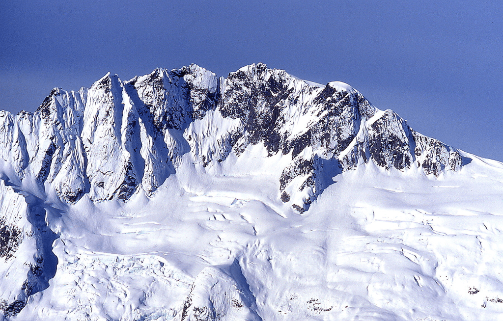
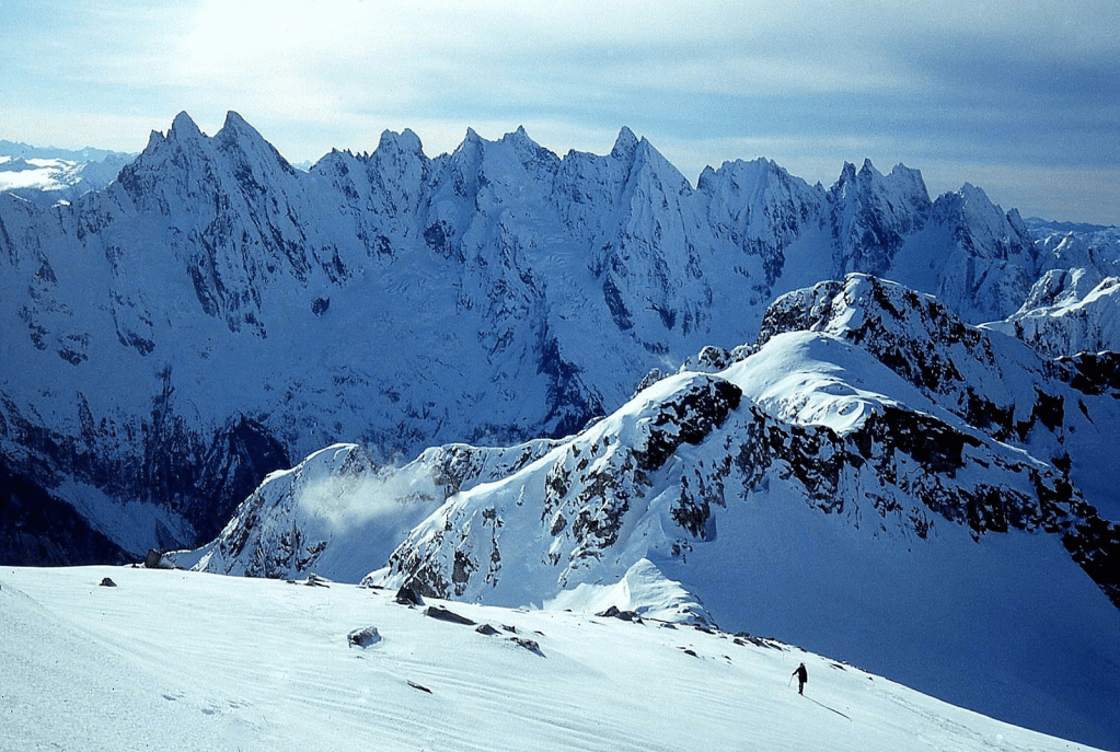
We spent enough time eating, clothing, and hydrating at the pass that 11:30 came quickly. We donned crampons at Luna Col since the prevailing winds had packed the SW slope beyond. The decision was made that 1 PM would be our turn-around time, no matter where we were. I’d suggested that we try the route Reed Tindall and I had descended on the west face of Luna in 1970, rather than risk the tricky teetery 500-foot traverse on rime-iced rock from the false to the true summit, the standard route. I had not liked that crest even in the summer on a dry, warm day, which is the reason Reed and I looked for an alternate way down 19 years before. But if the west face route failed we would have nothing, not even the false summit, which by now I was willing to call “Luna Point” so we would get credit for something after all this work. This point was what Silas was heading for as the strongest of the group, but when he saw how easy the west face bypass looked he agreed with that choice, and deviated left off the south ridge.
At about 8000 feet Russ was able to bring up his Seattle ham-radio buddies. It was well after 12 noon by now. A phone-patch call was put through to Paul’s wife, after there was no answer from Habiba, Russ’ wife. I led up diagonally out across a ‘you-don’t-want-to-fall-here’ steep couloir that reminded me a little of Lincoln Peak on snow that was less consolidated than I’d like. Making sure every step and ice ax plant was solid, I wore out, and Silas passed by. He continued the same angle clear across this final couloir to the airy view over the north face.
Russ and I discussed taking the pressure off ourselves by radioing out to Tom to cancel our 4 PM pick-up the next New Year’s Eve day (no cellphones back in those days). We thought we could make it to Ross Lake by 10 AM on New Year’s Day. Jim punched the last few steep steps to the final 30-foot iced rock pitch. There were a couple of routes possible, one a straight shot in a skinny depression with less exposure but also fewer holds, the other a short 3-step exposed ramp, a place for pro, then several more solid steps to the top.
John Scurlock photo of broad central W gully we went up.
Silas was hoping someone else would take the lead, but he got no volunteers. Coldness finally spurred him to rope up and lead out over the exposed ramp. He was quickly on the ridge a scant 20 feet from the summit. 1:05 PM. Russ followed on belay but neglected to bring Silas’ video camera which Silas wanted “now.” So Paul who had planned to do the rock pitch without pack took on Silas’s pack. Then I followed, then Jim.
We took turns walking the last rock ramp to the highest rock. Paul searched for the register, but didn’t find it amongst the snow-covered summit stones. Russ rustled up the phone patch again and we gave my dad a call from the summit (Karen was out of town) and asked him to tell all the wives we were safe and to rearrange the boat schedule for us, as Russ was worried about calling Tom directly since that might be construed as a “commercial call,” something that doesn’t cut the cheese with hams.

There was a bomber flake on the summit ridge which we anchored to for the short rappel back to the packs. Silas belayed Paul down the upper section of the couloir, then the rest of us carefully followed unroped in the steps. Soon we were across the entire couloir which dropped dramatically below us for 1500-vertical feet. We pondered whether we could survive a fall here. We made a final call to the Marblemount Ranger Station to tell them of our delayed return. Somehow somewhere up there, I left behind my favorite well-worn yellow ice-ax snow basket.
It was a pleasant return back to our camp via our up tracks, the first time we could really relax on the entire trip. Home to camp at 3:40. Paul led the entire way back, anxious to pack up and descend into Axes valley to get in position to make a run out the next day. He did not want to spend New Year’s Eve sleeping with Russ.
It had been a great day. A window day. Russ praised the Lord. By bedtime though, ugliness was approaching Picket Pass. It stalled there a while though and at 9 PM the stars were infinite and crisp. There was an odd brightness over the ridge to the north, looking more like city lights where there was no city rather than the Northern Lights. Tonight Russ’ two-hour bedtime story featured some of his many favorite climbs.
Sunday, December 31, 1989. The winds blew in the start of real winter that night, whapping our tents in the process, and blowing away Russ’ cooking pot. At first light, Paul was headed to the barn and first to leave camp. Everyone else deserted too while I was still rolling up the tent. Silas had packed the stove and ran before breakfast. I scrambled my stuff together and chewed on half a Twix candy bar which had to last until lunch.
No one was in sight when I reached the top of the descent couloir. There was a deep sitting-glissade mark most of the 1500 feet to the valley floor with a set of footprints in it. I generally sit-glissade everything I can, but chose here to plunge-step down since the crotch of my polyester pants had torn out and I did not wish to frost my underlying parts. The other walker was Silas whom I eventually caught. We all gathered for a creek drink at a big slide, then Silas took off like a bat out of hell down the left bank, close to the stream. This is the way to go. We blew out of there, reaching Big Beaver Creek at 10 AM in a scant 2 hours 10 minutes from our ridge-top camp. The rain was wetting now, but not yet soaking. Somehow in the creek-side bush we walked past our initial crossing log, but soon arrived at a log jam that spanned the creek, slippery enough to require hands and knees to negotiate.
Paul definitely wanted to get out of there that night, and Silas was willing to do the 16 miles to Tom’s Ross Lake Resort to send the boat up for us if we would carry his heavy stuff 10 miles to the lake. None of us wanted to spend a wet New Year’s Eve at the Big Beaver Campground so we gladly divvied up Silas’ boots, snowshoes, rope, stove, pot, extra food, and ice ax as he headed out with a light pack and Jim’s radio. It was 10:41 by the time we’d crossed the creek, found the trail, changed into running shoes, and repacked. The plan was for Silas to make contact with us at 12:30, then every hour after that.
Jim was feeling strong at the trail and grabbed more than his fair share of Silas’ gear. It was 15 minutes to Luna Camp. Then another 1½ hours to 39-Mile. At 12:30 PM, I was lightheaded from hunger and stopped for lunch, waiting for the other three to catch up. At 12:50, Russ roared by, reporting that Silas didn’t answer the 12:30 call. We were at the Big Wash at 1:30 PM, and Russ gave him another radio call and connected. Silas was nearly to the lake, happy and confident of making it out in plenty of time.
At 2:30 Russ and I felt we were nearly to the lake, and felt pretty good ourselves, as another radio rendezvous was accomplished. Silas now reported that he “was shot to shit, and didn’t remember the trail gaining so much elevation,” but figured he still had enough left in the tank to make it out. Russ checked in with Silas again at 3 when we reached the lake just to spur Silas on. He was perking up again, and would soon be at Tom’s. We decided to walk on out to the point where the boat camp was, hoping for some sort of shelter since the rain was now coming down in earnest. We drew arrows in the muddy trail with our ice axes to direct Paul and Jim in the proper path. After the first couple of unprotected campsites, I thought we would have to set up my tent in order to get out of the rain until the boat came. When we stopped, the light wind blew cold to our bones through our soaked clothes.
Suddenly Russ shouted, “Praise the Lord! Praise the Lord! He has given us shelter.” And indeed He had. There before us, no minor miracle, were two outhouses. Russ took the one labeled “Men” and I was happy to have the “Women’s,” as we darted inside to change to dry gear. This really was a blessing. A dry sanctuary, complete with a “throne” to sit upon.
Russ tuned in a happy Silas for the last time. The boat was in the water and the engine was running. Tom would soon be up.
Paul rolled in about 15 minutes behind us, picking up speed as we had relieved him of snowshoes and the rope above 39 Mile. He crowded into the woman’s outhouse with me, soaking wet, but looking happy. We took turns sitting on the throne. At 3:40 Tom zoomed into the Beaver Bay and spotted us. We loaded up and motored a few hundred feet closer to the creek, looking for Jim. No sight of him. We redocked and Russ lit out up the trail in search of Jim while Tom talked Ross lore. He’s still not made it up to the summit of Hozomeen. Pumpkin Mountain and Sourdough he’s done dozens of times. The ponds up Big Beaver are now open-fishing and hot for 18-inch cutthroat. He releases everything he catches. He’s burning out, but is happy to return to the lake after every trip to Seattle. The Park, Game Department, City Light are bugging him a bit. He may try a go at something similar in Alaska. No sign of Jim or Russ.
Tom had a 20 x 80-foot wood shop, he told us. He enjoyed making his own furniture, and in the past used to work on the cabins. He was figuring on expanding the resort by about four cabins, but was too busy to do this on his own and would be contracting this out. No sign of Russ or Jim.
Finally at 4:30 Russ appeared, and soon after, but slow, Jim, who collapsed ten feet from the boat. But he got up under his own power and climbed aboard, looking about as green and hypothermic as I’ve seen anyone look in a long time. But he had a smile on. It was a tired one, but an honest one. “Sorry, guys,” he said, “I’m just a little slow,” a sentence he must have said a half dozen times on this trip.
It was nearly dark when we arrived at the dock at the resort. Tom’s partner Carol was already dressed up in her outdoor gear and had it in mind to motor up the lake to see if anything had happened to us, as we were so late returning. Silas was inside in a yukking good mood. He was warm and happy and dry and fed and had been for about an hour and a half now. Carol and Tom’s receptionist and secretary, Abbie, had let Silas dry his clothes in the dryer.
Tom motored us over to the other side of Ross Lake to pick up the trail and the 500-foot elevation gain back to our cars. We made a final stop at Bill Lester’s Marblemount house to return the snowshoes Russ had borrowed and were treated here to a New Year’s Eve homemade pizza that Bill’s wife Kathy had prepared.
1990
‘Steer Horn’
7640+ / P50 or so
FA July 8, 1990
Thanks to Nigel Steere
Peak at crosshair at eastern end of Mount Daniel complex.
Class 4 via W ridge.

‘Memaloose Ridge SE’
7265’ map / P325mn
Ridge is named on USGS McGregor Mtn quad
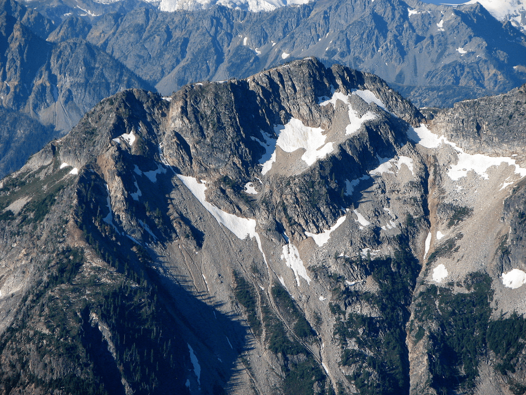
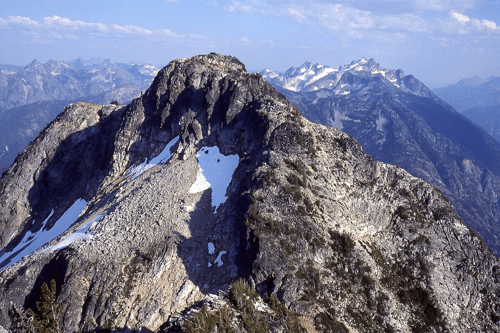
‘Memaloose Ridge Middle Peak’
7360+ (map) / P240mn
Peak at crosshair. 7360+ (missing contour on CalTopo)
SE end of ridge named on USGS Goode Mtn quad
FAs of both August 13, 1990
Thanks to Mark Allaback
Memaloose Ridge is named on two maps. In Chinook Jargon, Memaloose means “dead, or to die.” Deadman Creek drains the SW slopes of this ridge. There is a story of a trapper from the old days who broke his leg in the winter in this area and died before he could crawl to safety.
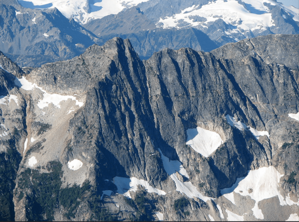
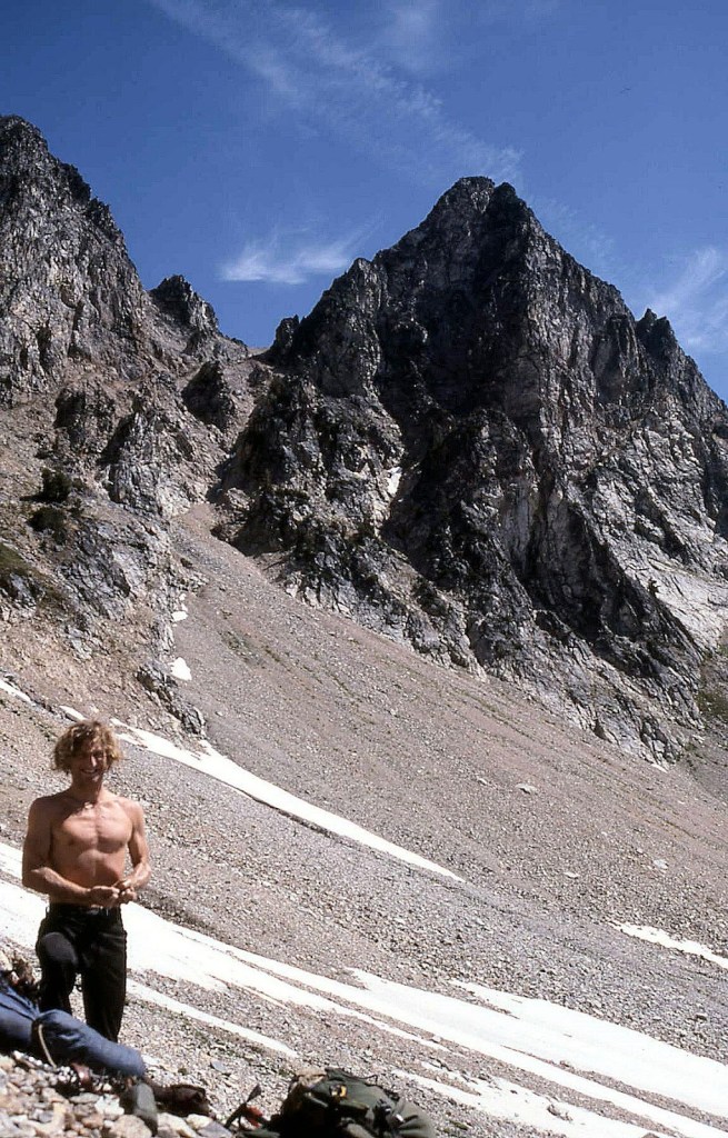
Goode Ridge
7680+ map / P440mn. Lidar: 7683′ / P423.
Nepa on north peak August 14, 1990
Thanks to Mark Allaback
Named on map. Surely a curious ranger came over here from the Goode Ridge Lookout back in the day. We came up the NW ridge.

‘Wyeth Crags’
Crags above the Wyeth Glacier
‘Fractured Wyeth’
8040+
‘Wyeth Not Peak’
8080+
Because it’s there.
‘Hyeth Wyeth’
8120+ map/ P240mn
Highest of the group.
Nepa on all 3 August 15, 1990
Thanks to Mark Allaback
We found nepa/no evidence of previous ascent on all three, but later learned of previous ascents from Harry Majors: Hyeth Wyeth FA was probably July 26, 1933 by Art Winder and Forest Farr on their way to ‘Storm Throne’ 8515′. Also Hyeth was probably climbed in 1958 by Wy’East party of Don Comer, Stan Foss, others.
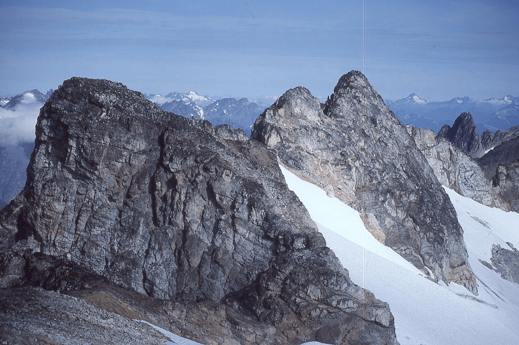
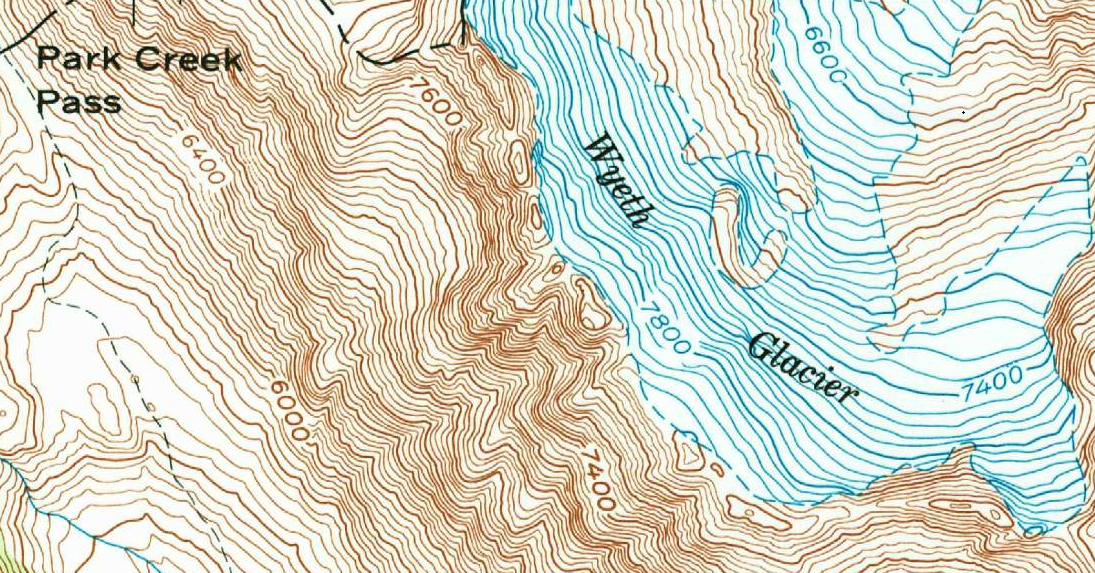
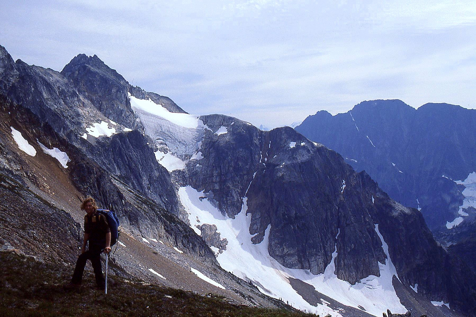

‘Golden Peak’
7880+ / P280mn
FA August 15, 1990
Solo while Mark hung out
Map on LoJ. PB- CAG-
Named for the golden-colored rock which adorns the southernmost summit of Mount Logan, climbed shortly after my parents’ 50th Golden Anniversary (on 8/9/1990).

1991
Little Chief Peak
5416′ map. Lidar: 5396′ / P234.
FWA? February 24, 1991 (probable First Winter Ascent)
Thanks to Bruce Gibbs, Dave Housley
Named on map. We came in from Spada Lake-Williamson Creek up SW ridge.
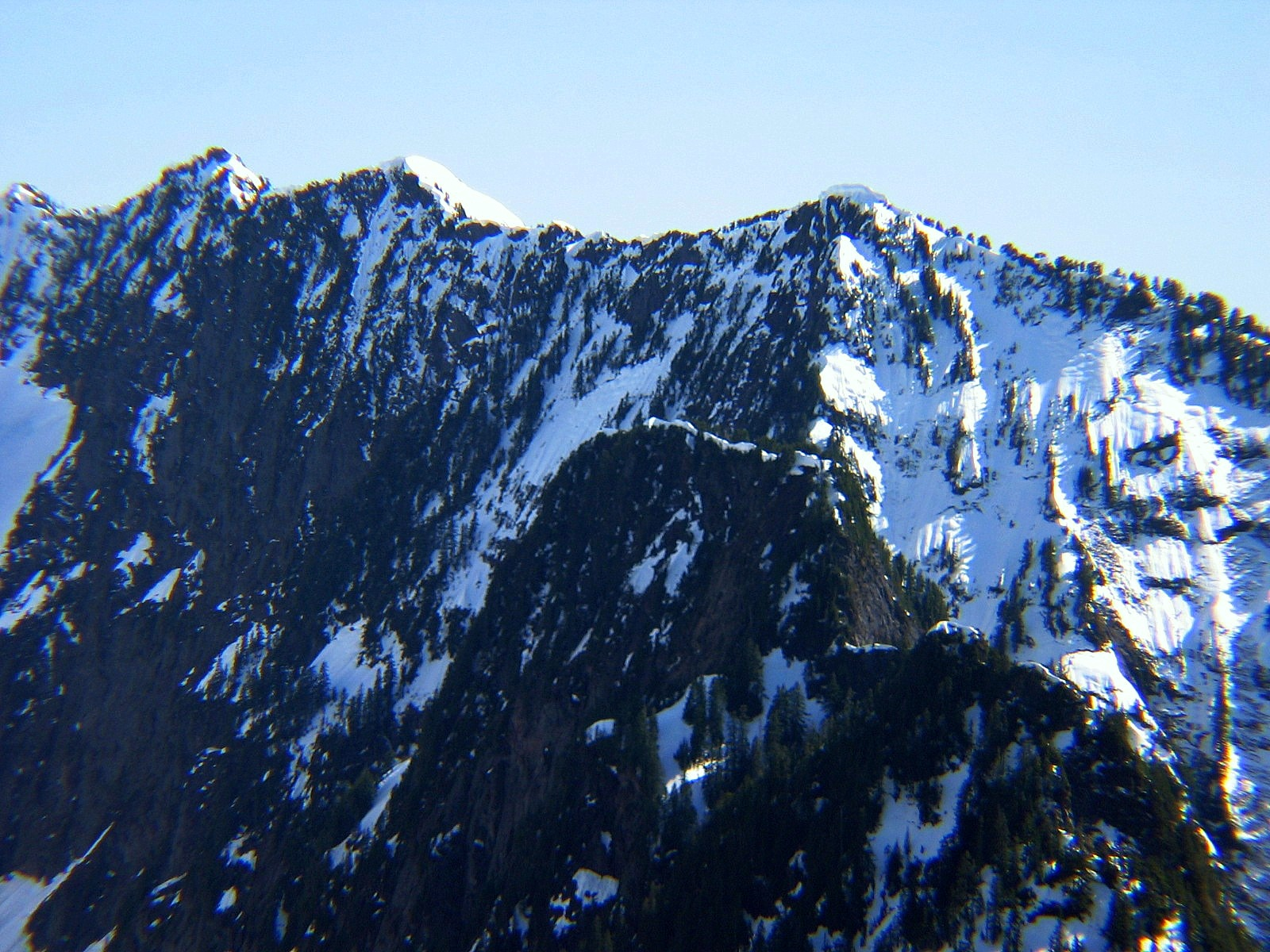
‘Bold Peak’
5040+ / P240mn
Nepa, ?FA April 21, 1991
Thanks to Kal Brauner, Amy Carlson, Bruce Gibbs, Bette Felton
Peak at crosshairs. Cute minor peaklet, not in LoJ, PB, CAG.
Above Boulder Lake.


Straight Ridge
7685+ / P805. Lidar: 7697′ / P825.
FA June 19, 1991
Solo
Named on map.
Very top involves an athletic class 4+ move. Left register under a cairn below.

‘Grand Old Flagg’
7422’ map. Lidar: 7430′ / P763.
Nepa August 30, 1991
Thanks to Mark Allaback
South of, and higher than map-named Flagg Mtn. No cairn found on Flagg Mtn either. Walk-up from HW 20 and south ridge. It had probably been climbed before. There’s a Delancy Benchmark one-mile south.
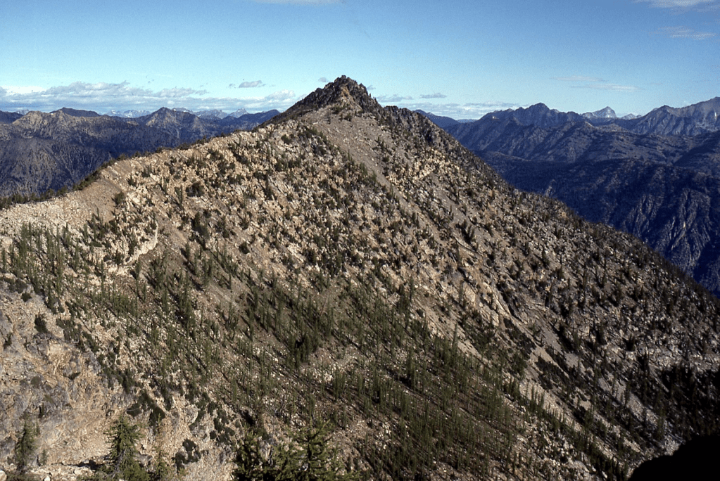
Flagg Mtn
7360+ / P280mn. Lidar: 7373′ /287.
Nepa August 30, 1991
Thanks to Mark Allaback
Named on map
‘COOL MTN’
7738’ map. Lidar 7739′ / Big P1043.
FA?/Nepa September 2, 1991
Thanks to Mark Allaback
Named in honor of Adelbert Lorenzo Cool who lived at Domke Lake for years just down the NE ridge of this peak. He died there at age 83 trying to save his cabin when the area burned in 1941. Claude Ewing Rusk and A.L. Cool explored the east side of Glacier Peak in 1906 on horseback from Lake Chelan. Rusk applied Cool’s name to the glacier flowing E from between Glacier Peak and Disappointment Peak to Suiattle River.
We took a float plane from Chelan to Domke Lake then approached via the Emerald Park Creek trail.
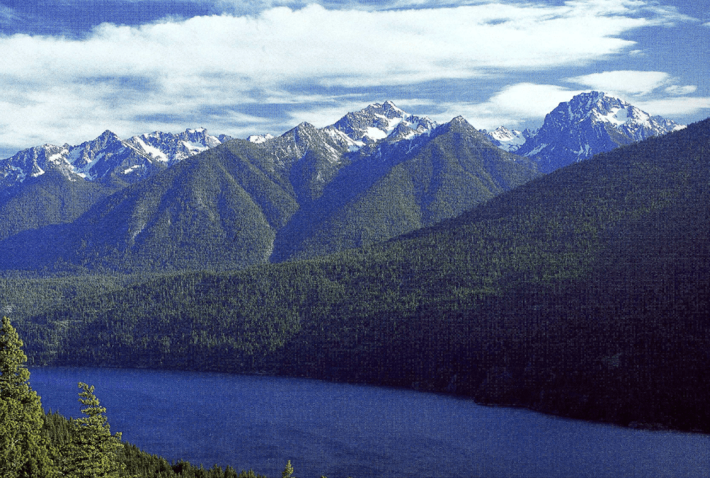
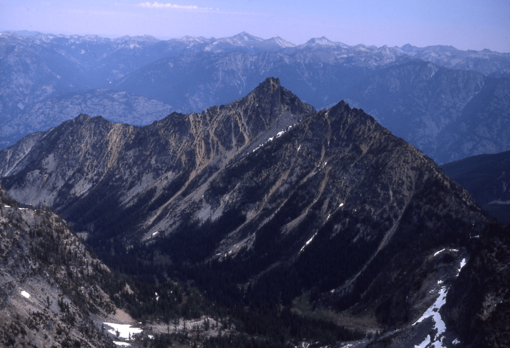
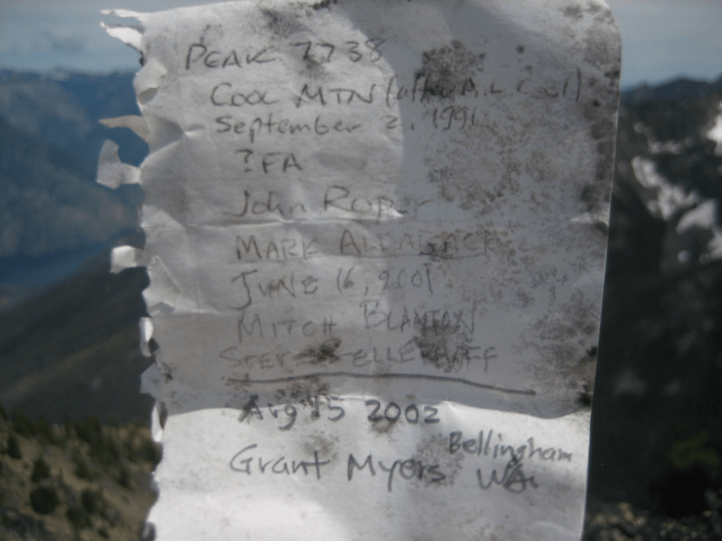
1992
‘Ugly Stepsister’
6136’
Nepa May 25, 1992
Thanks to Gene Mickle
Minor point SW of “Little Sister” on Twin Sisters range.
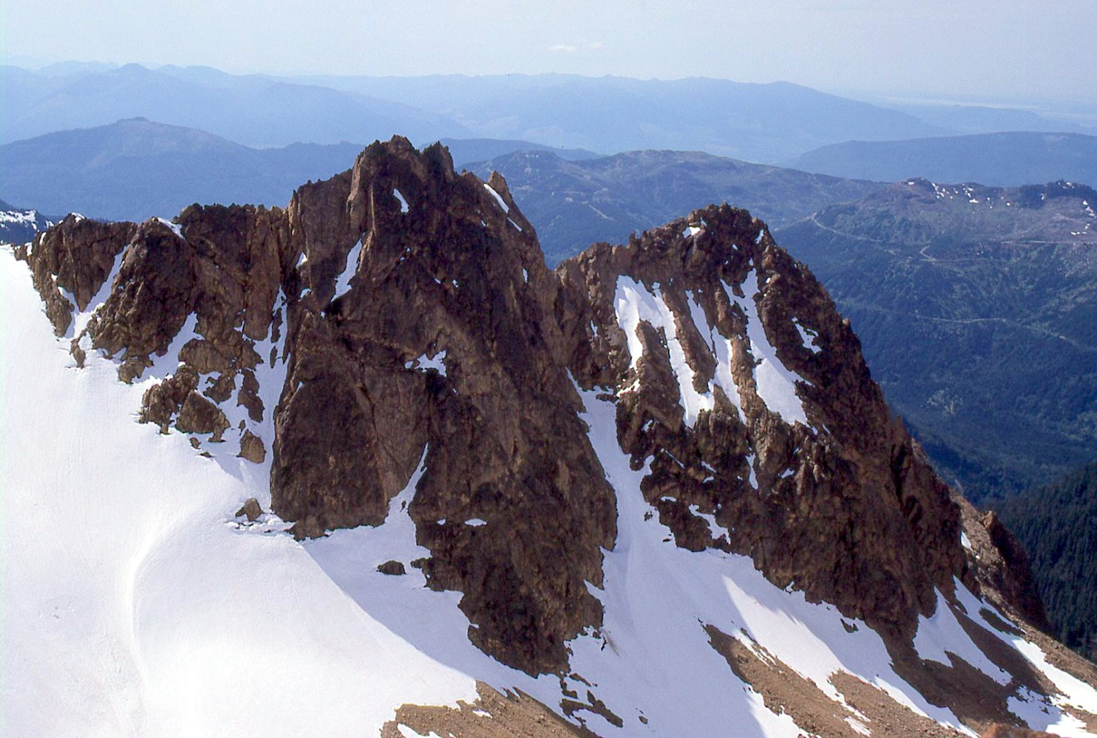
‘Middle Sister’
6280+ / P200mn
Nepa May 25, 1992
Thanks to Gene Mickle
Minor point NW of “Little Sister” on Twin Sisters range.
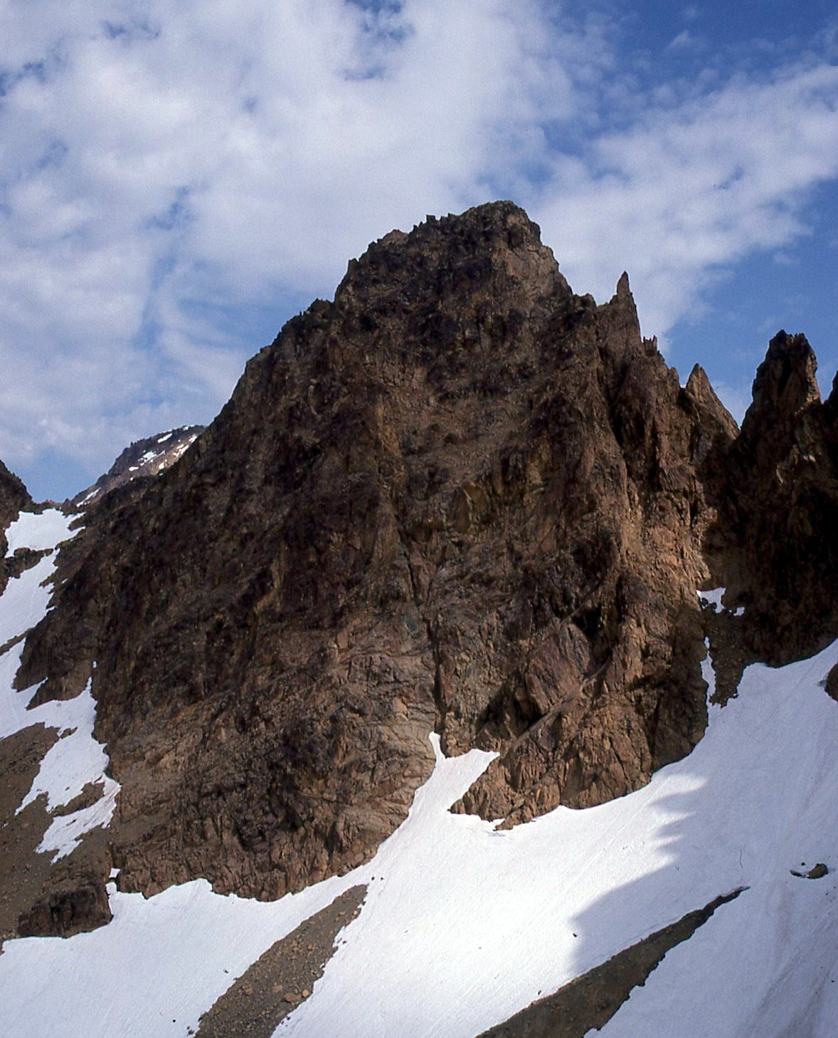
‘Buk-Buk Spire’ 5500
Nepa June 7, 1992
Thanks to Steve Fry and David Singleton
Play on nearby Bird Mountain and chickening out.
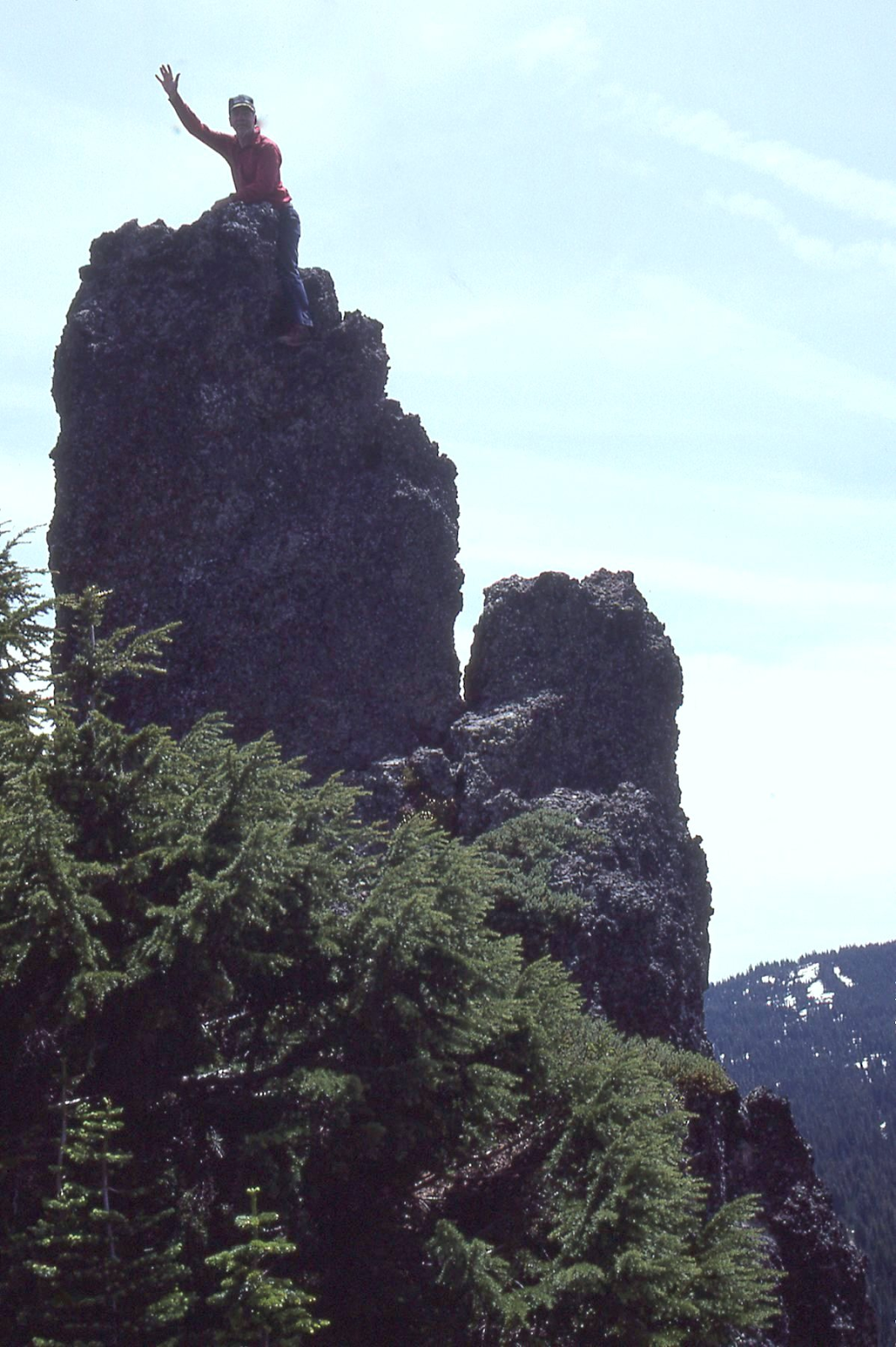
‘Phantom Pass Point‘
4754 on 1953 USGS Mt Shuksan
Nepa June 21, 1992
Thanks to Bruce Gibbs and Dick Kegel
More of a place-holder name than a peak.
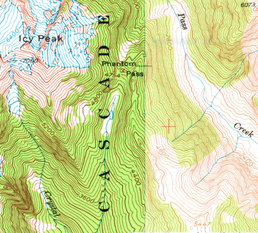
‘Blister Mountain‘
5447′ / P767clean. Lidar: 5453′ / P795.
FA on foot June 21, 1992
Thanks to Bruce Gibbs and Dick Kegel
Rounded blister-shaped summit and boot nemesis of climbers.
After an approach from Cloudcap, we found wood and wire of 1953? helicoptering survey party.
We descended the SE Ridge to Baker River.
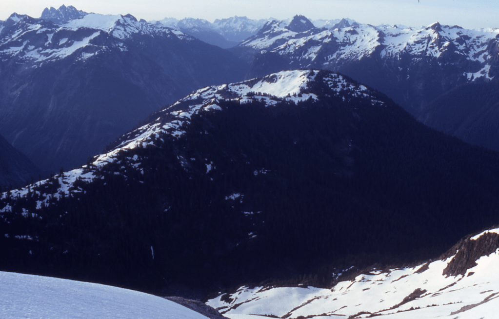
‘Pika Peak’/’Hyrax Peak’
8120+ map. Lidar: 8126′ / P295.
FA August 1, 1992
Thanks to Mark Allaback
Newer maps don’t show the USGS Mount Formidable 8120+ contour on the county line.
Named for its pika-shape with back and head with two ears. The African hyrax has a similar shape. Climbed from SW. Map makes it look like the east ear is high point.
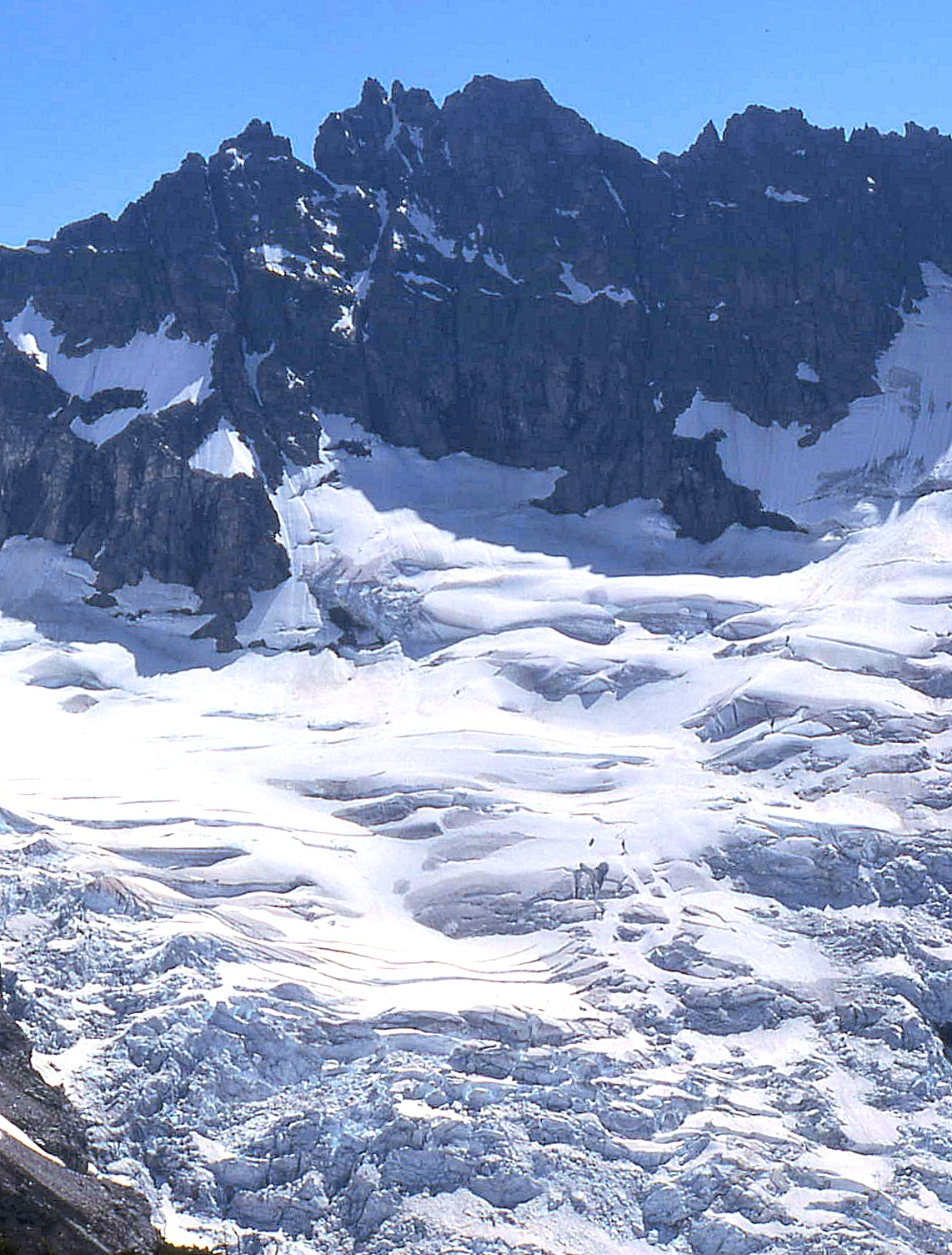

‘Hitchhiker’
~7420′ / P70+
FA August 2, 1992
Solo by Mark Allaback (with JR belay)
Peak at crosshair SE of ‘The Fist’ 7456′ (which had been cairned).
Not on LoJ, PB, CAG.
70+ foot tower that looks like a thumb coming out of a 7456’ clenched ‘Fist of a Hitchhiker.’ SE of Le Conte. Easily recognized when dropping to Yang Yang Lakes from the Spider-Formidable col. Upper 5th class.


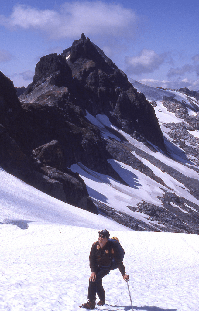
‘Snail’
7360+
FA August 2, 1992
Thanks to Mark Allaback
Minor point SE of ‘The Fist’ and ‘Hitchhiker’, NW of “The Donjon”.
It has a snail shape from some angles.
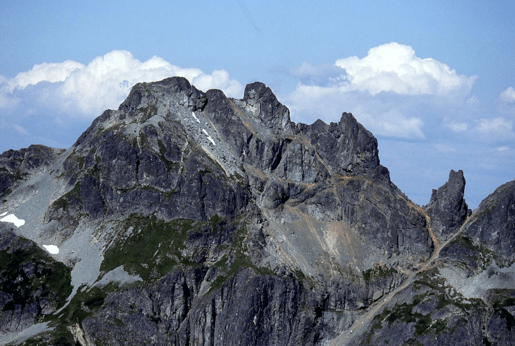
‘Whiteout Peak’
7640+ / P320mean. Lidar: 7663′ / P311.
FA August 3, 1992
Thanks to Mark Allaback
Common foul-weather experience in the North Cascades. Named for zero visibility during our August 23, 1974 crossing of the 7320+ ‘Confusion Col’ just south of this peak from where we descended down to Spire Glacier in a whiteout, mistaking it for Spire Col.

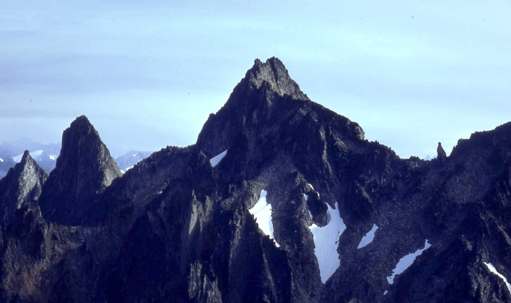

‘Far Side Peak‘
6840+ / P400clean. Lidar: 6862′ / P407.
FA August 4, 1992
Thanks to Mark Allaback
Map at LoJ. PB. CAG mentions elevation under Kindy-Goat Ridge.
This peak is the “far-side”/NW neighbor of “Long Gone Peak,” nicely named by the Trail Blazers. Hilarious “Far Side” cartoons were drawn by Gary Larson from 1980 to 1995.

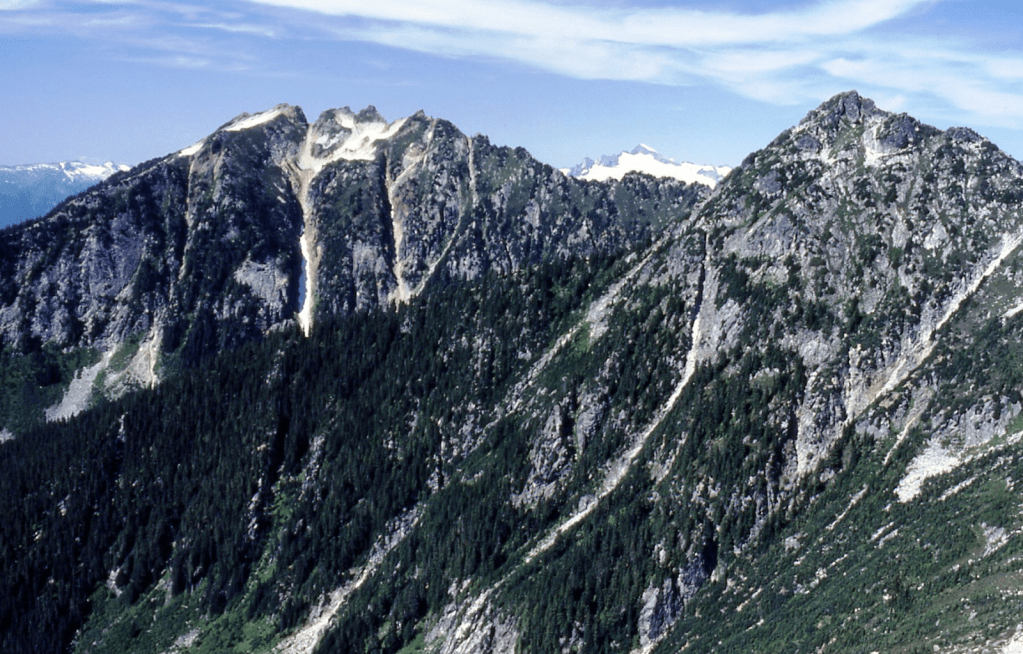
BEARCAT RIDGE Highest Point
8035’ (on 15’ map) / P635cl, reduced to 7960+ (on 7.5’ map) / P640clean.
Lidar gets it as 8033’ with P718 per John Kirk.
FKA/Nepa August 6, 1992
Thanks to Mark Allaback
Name is applied to the highest peak on the map-named Bearcat Ridge. This is one of the WA Top 200 by P400′ peaks.
We first tried but failed on Bearcat in 1991 from Domke Lake/Emerald Park Creek trail (time/route problems). But we did climb ‘Cool Mtn’ 7738’ then (see 1991). We returned in 1992, this time up N Fk Entiat trail to Saska-Emerald-Cardinal basin, over pass between Cardinal and Emerald, contouring the upper Bear Creek basin finishing on a counter-clockwise corkscrew to the top.
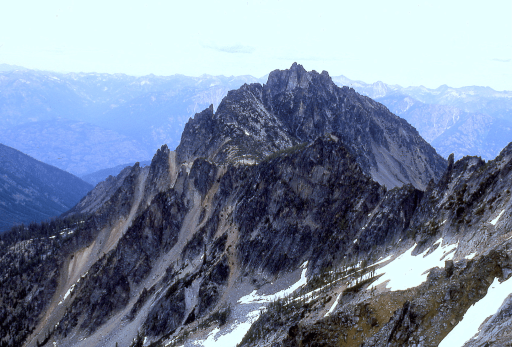
‘Cousins Peak’
6720+ map / P200mean. Lidar not calculated.
FA August 14, 1992
Thanks to Tex, Monte, Grady, Toby, Nigel Steere
Eastern sub-summit of Colonial Peak, NE of spot elevation 6705’ (same as Ropers Roost on map). Named for all the cousins that made FA and slept on top.
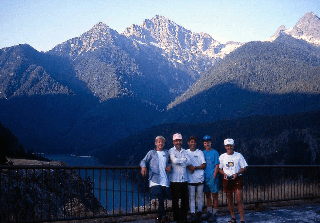
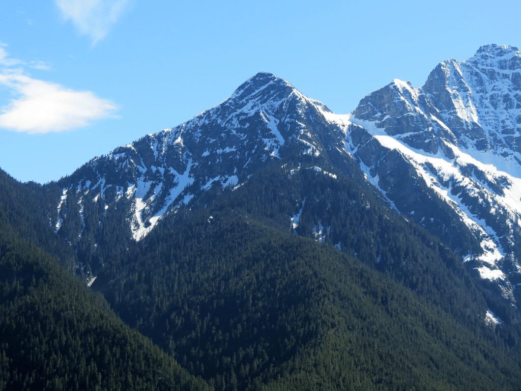
Cousins from HW 20.
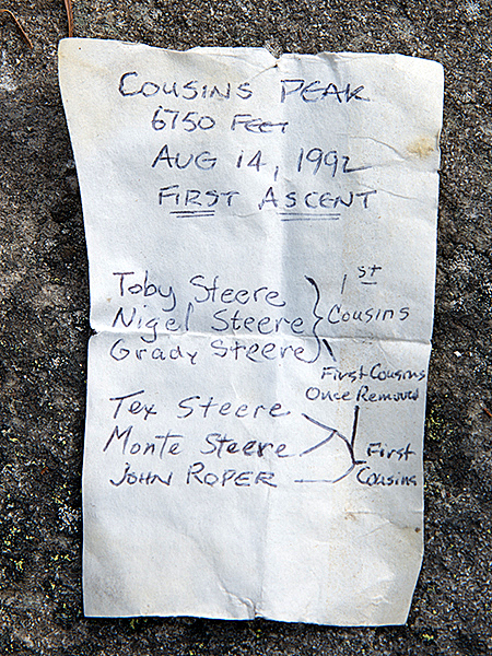
‘Kokshut Peak’
5111’ Lidar/ P418 Lidar
FA/nepa August 29, 1992
Thanks to Dick Kegel
Peak above Lake Isabel just a bit W of the Ragged Ridge crest. Looking for a Chinook Jargon word for “Ragged,” Kokshut came close to that, meaning “to break; broken; tear; torn; shatter; split.” A somewhat ragged name, not perfect, but nice try.

‘SNOWSLIDE PEAK’
5000+ map. Lidar: 5021′ / P841.
FA August 30, 1992
Thanks to Dick Kegel
Best looking peak on Ragged Ridge above map-named Snowslide Lake. We ran the entire ridge from the south via Deer Creek road to Salmon Creek.
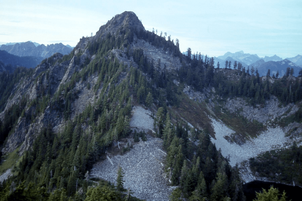

‘Headwall Peak’
4988′ map. Lidar: 4969′ / P483.
FA August 30, 1992
Thanks to Dick Kegel
This summit is at the “Head”waters of “Wall”ace River, thus Headwall. As Dick Kegel and I were bantering around names for this peak that was drained by Salmon Creek to the east, we reversed the spelling of salmon where upon Dick enjoyed saying, “This peak shall forever remain “Nomlas” (nameless).
‘Anticlimax Point’
5080+ P240mn
FA August 30, 1992
Thanks to Dick Kegel
After running the Ragged Ridge and climbing “Bushwhack Peak,” Dick thought this was an anticlimax to the finish of our traverse before we bailed down Salmon Creek back to the shuttled car.
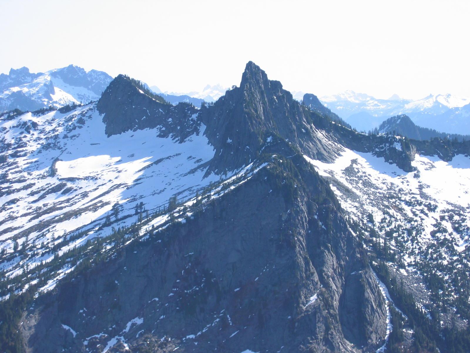
1993 No FAs (son Aaron born)
1994 No FAs (while working on WA County High Points)
1995
‘Sasha Peak’
6604′ / P384mn. Lidar 6602′ / P379.
FA July 23, 1995
Thanks to Warren Guntheroth and Sasha
Dr. Warren Guntheroth, pediatric cardiologist at UW wrote a book about climbing 300 peaks with his husky dog Sasha, and proposed this name for this peak above Chain Lakes in the Bulls Tooth region.
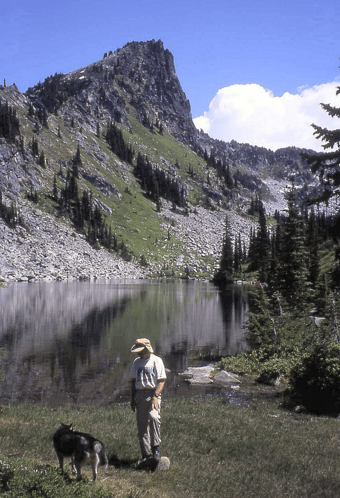
‘Nap Knoll’
5423 / P123mn.
FKA August 22, 1995
Solo
Not on LoJ, PB, CAG
Given this place-holder name on the way to Morpheus, though no nap was taken here. This peak’s claim to fame is that it is a triple-watershed divide point that drains to Middle Fork Snoqualmie River (via Taylor River), North Fork Snoqualmie River (via Lennox Creek) and Skykomish River (via West Fork of Miller River).
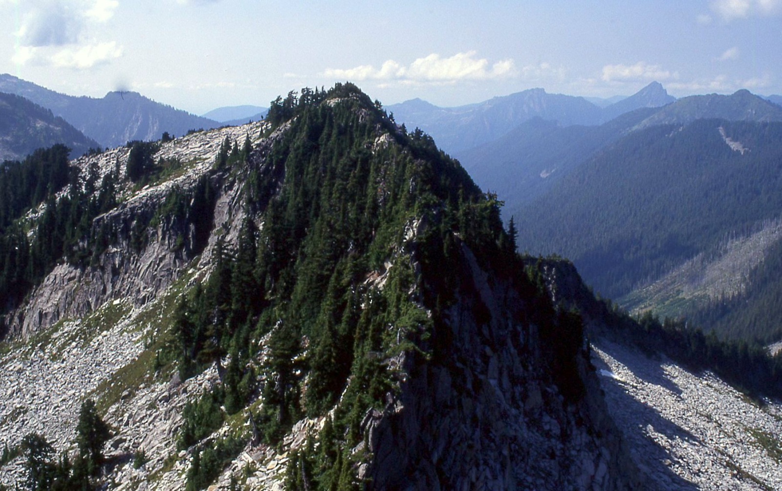
‘MOUNT MORPHEUS’
5432’ / P552clean. Lidar: 5431′ / P539.
FA August 22, 1995
Solo
Morpheus is the god of dreams and sleep, and stands above Dream Lake. Jeff Howbert’s Home Court list inspired this trip. Approached over Dog Mountain. Out down Lennox Creek, enduring a bit of a mess.
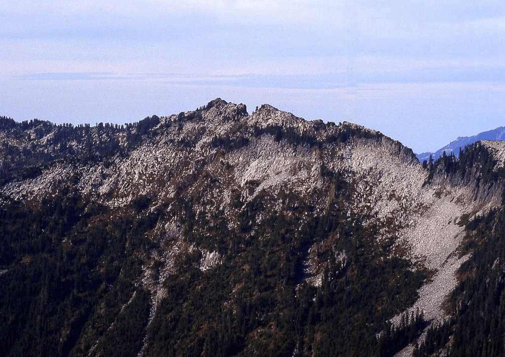
‘Toto Peak’
4960+ / P440cl. Lidar: 4945′ / P474.
FA October 15, 1995
Thanks to Jeff Howbert, Bruce Gibbs, Johnny Jeans, Dick Kegel, Eric Keeler.
Above Lake Dorothy of “Wizard of Oz” fame, for her dog. Trip report 219.
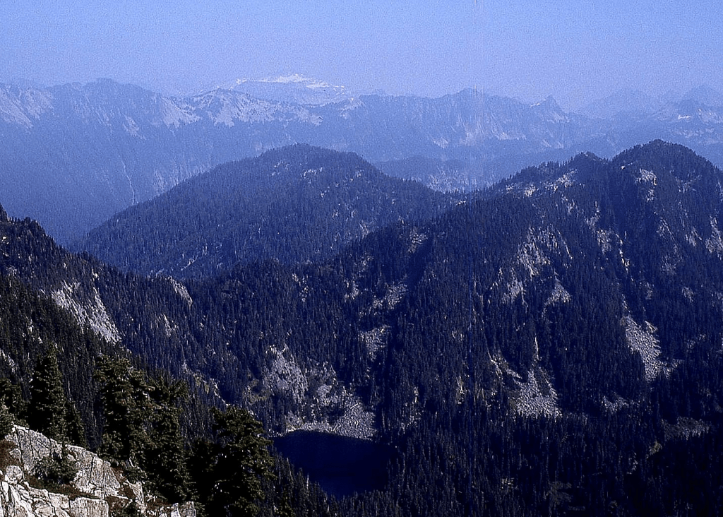
‘MILE HIGH MTN’
5280+ / Big P1120clean. Lidar: 5310′ / P1184.
FA October 15, 1995
Thanks to Jeff Howbert, Bruce Gibbs, Johnny Jeans, Dick Kegel, Eric Keeler
Named for the obvious reason that this peak is 5280-feet high on the USGS Snoqualmie Lake quad. Lists of John Kirk spoils the fun a bit by adding 20 feet to its height in his calculation by the mean method, bumping the elevation to 5300’. Lidar also messes with the fun. Jeff’s trip report.
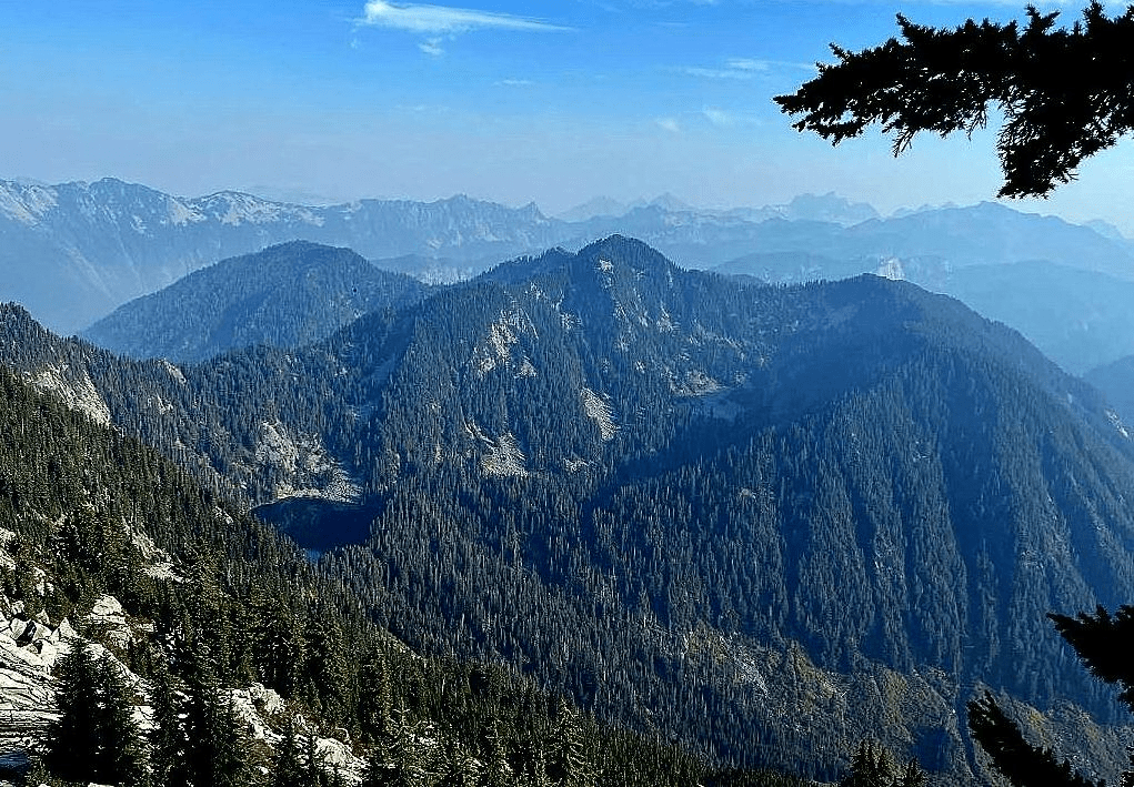
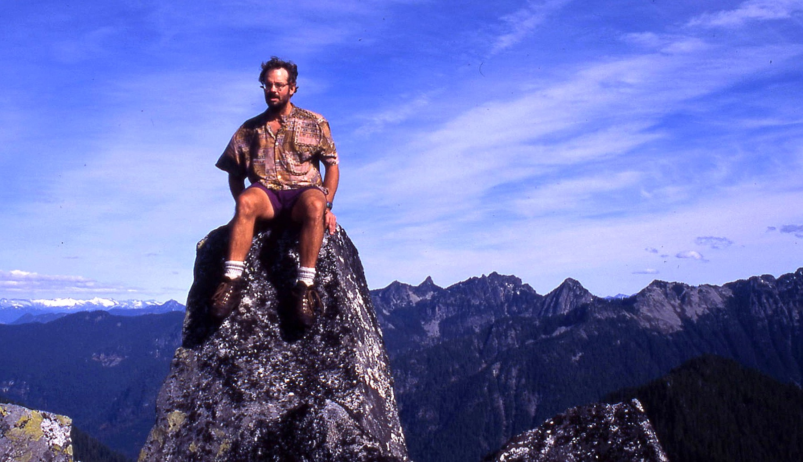
In the mid-1990s, Jeff poured over hundreds of 7.5-minute USGS maps covering all of Washington state at the Bellevue Public Library for several years and cleverly honed in on his Home Court 100 List and Back Court 100 List which have delighted many a climber. Mile High is one of the Home Court peaks.
1996
‘Pasture Peak’
5240’ map. Lidar: 5245′ / P402.
Nepa August 15, 1996
Solo
Summit with a huge meadow north of West Cady Ridge. After hiking the trail over West Cady, I went x-c to this summit then dropped through the woods as a shortcut back to the N Fk Skykomish trail and road.
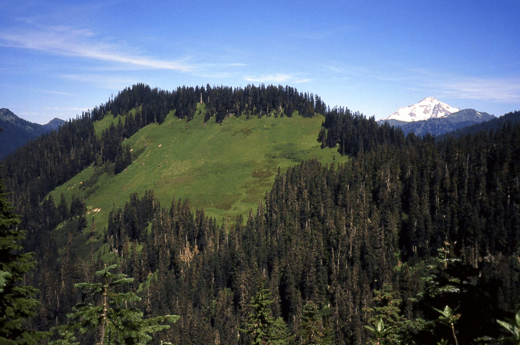
1997
‘Rover Point’
6506’ / P206mn.
Nepa July 12, 1997
Solo
A rover wanders to different places, which led to this name on a side trip to this minor point on the way to The Citadel.
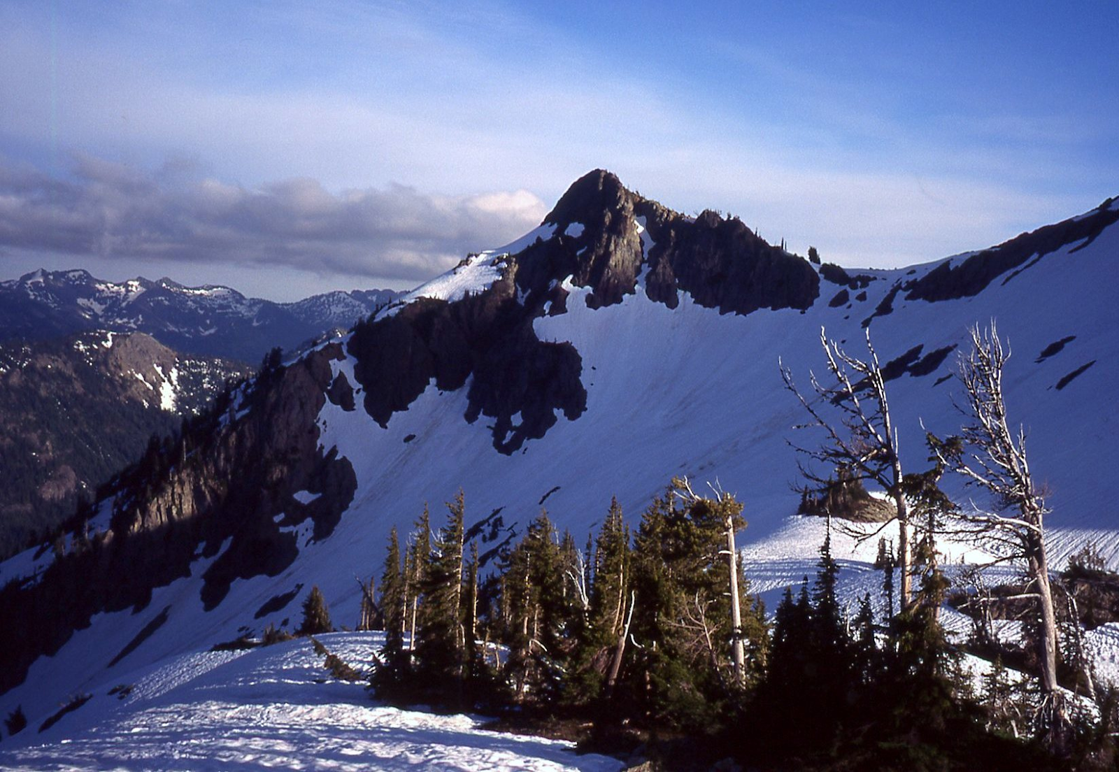
1998
‘BEEFHIDE BUTTE’
8030’ map / P510. Lidar: 8035′ / P525.
FA May 4, 1998
Thanks to Don Goodman, Natala Goodman, Juan Lira
A Washington Top 200 peak by P400.
Honors John Norm “Beefhide” Burke (hailing from Beefhide, KY) a mountain man and fish-planting Trail Blazer who hauled cutthroat and rainbow fry into a huge number of Washington high mountain lakes for those that followed to enjoy, and an all-around good guy.
Don Goodman’s amusing story of the day before we climbed Beefhide Butte:
“John R and I linked up for a spring climb of Finney Peak in the late 90’s. Our party also included Norm Burke, Dan Sjolseth, Ed Liebert, Natala Goodman and Juan Esteban Lira. John suggested strongly that we bring snowshoes to facilitate getting around in the spring slush. I protested claiming advantage of a “secret weapon.” That secret weapon was Juan’s ability to kick steps in the snow all day long! John bought into it and off we went without snowshoes.
On the Finney climb, we encountered knee deep punching. Time for the secret weapon!!! Juan shot off like a rocket and the rest of us could not keep up with him. Unfortunately Juan had no clue where he was going punching wonderful holes in the wrong direction!!
After about 1/2 hour trying to catch him John turned to me exclaiming “The next time you bring a secret weapon figure out how to aim it!!!!”
We climbed Beefhide the next day up its SW slope.
‘NAMELESS MOUNTAIN’
6616’ map / P856. Lidar: 6624′ / P879
FA June 13, 1998
Thanks to Mitch Blanton
We ran the ridge between No Name Creek and Arctic Creek scrambling up several summits after being dropped off at its NE base on Ross Lake.
‘Unspeakable’
6482’ map / P322mn. Lidar 6471′ / P317.
FA June 13, 1998
Thanks to Mitch Blanton
Continuing up the Arctic Creek-No Name Creek ridge from Ross Lake.
‘MONTANA SIN NOMBRE’
6688’ map / P708mn. Lidar: 6688′ / P732.
FA June 13, 1998
Thanks to Mitch Blanton
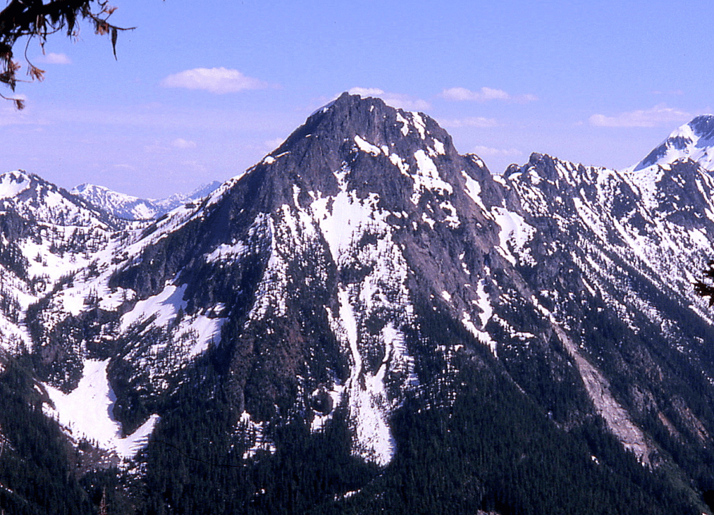
‘Unnamed Mountain’
6438’ map / P298mn
FA June 13, 1998
Thanks to Mitch Blanton
Not on LoJ, PB, or CAG.
‘Little Sky’
5951’ / P251mn
Nepa June 14, 1998
Solo
FA of Skymo Mountain (6582 map, P1105 Lidar) was by Wesley Wallace and Dan Murphy, geologists in August 1974 (per Steve Fry interview) who very well could have crossed over 5951 along the way (as I did).
‘Sam Hill’
4846’ map / P446
Nepa June 28, 1998
Thanks to Mitch Blanton and Sam Houston
Where in the Sam Hill is Sam Hill?
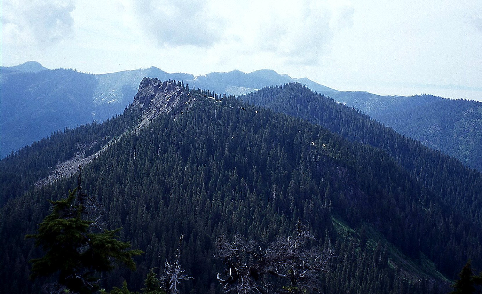
1999
‘ULALACH MOUNTAIN’
5040+ feet map / P440. Lidar: 5078′ / P541.
and CEDAR BASIN PEAKS
Nepa June 10, 1999, but see following
Thanks to Dick Michelson
—Ulalach is the Chinook Jargon name for onion. This peak is easily recognized from HW 530 just west of Darrington, as a rounded (onion-on-its-side) form up Squire Creek with an impressive, dark north face, right of Jumbo, left of Whitehorse. On closer inspection, this wall turns out to be exfoliating granite, peeling off in typical onion-skin fashion. The other two peaks we did are NW to its left. It caught my eye a couple of weeks before from across the Squire Creek valley on the way in to Bullon, looking a little like a mini Luna Peak with its chopped off summit.
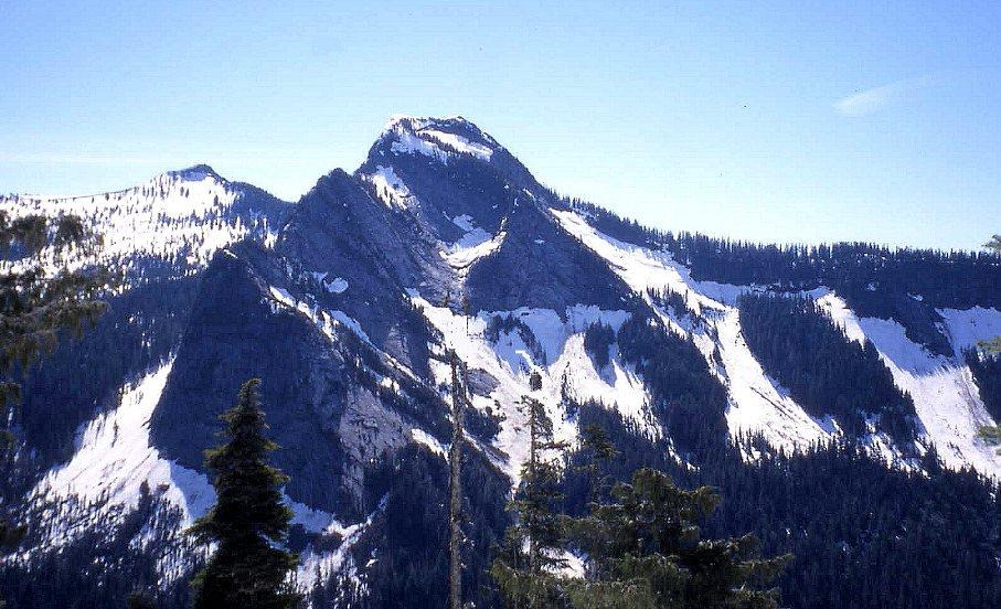
Dick Michelson and I drove the Squire Creek Road 5.6 miles to its end from Darrington and parked at 1800′. We tip-toed across the healthy creek draining Cedar Basin, and followed the Squire Pass trail about 10 minutes through alders growing up in a old clearcut to the Boulder River Wilderness boundary sign. After about three more minutes on the trail, we struck off left, uphill, x-c through fairly open woods to hit a wide tongue of snow (talus later in the year) at 2800′ under the imposing north face of Ulalach, Peak 5040+.
This is a great early season route. We punched up the wide open snow slope, twisting our necks every so often to look up at a nearly vertical 800′ granite wall to our right. The ridge-top cornices were a little worrisome, but previous debris had stopped short of our intended path.
We gained the 4600- low point E of Ulalach, then followed the ridge W to the summit. 3 hr 20 min up. This is a significant peak with 440′ of clean prominence, draining into both the Sauk-Skagit and the Stilliguamish Rivers. We enjoyed the fact that this summit had no evidence of previous ascent, probably because the route from the alternate approach from Squire Creek Pass looks to be a little tricky.
The views of the magnificent east wall of Three Fingers and the mysterious Squire Creek Wall were worth the price of admission. With the day still young, we eyed, then footed the two summits north and south of where the words “Cedar Basin” appear on the map (Peaks 5080+ and 5400+). We thought of these as ‘Ajo Mountain’ and ‘Cedar Basin Butte.’
From both of these peaks, “Exfoliation Dome,” which has been called “the hardest point in Washington to climb by the easiest route,” was spot-lit by a sunray. Joe Vance’s “Voodoo” could be examined in its entirety, and no good route up it appeared obvious.
We looped out counter-clockwise on our exit down the ridge that led straight back to the car. Although it had some granddaddy old growth cedar and hemlock, it was messy enough to not recommend as a good up-route approach to this wonderful nook of North Cascades heaven.
***Updating history: On April 6, 2006, Harry Majors sent me irrefutable evidence that the real first ascent of Ulalach was made by Hermann F. Ulrichs probably about 1933 (possibly with Dan O’Brien). This was based on a photo in his collection by Ulrichs showing the ridge from Whitehorse to Salish peak that corresponds precisely with a modern photo from Ulalach.
Harry notes, “Hermann’s photo of Three Fingers is identical in vantage point from that taken by Paul [Klenke] from Ulalach. Ulrichs also took a photo depicting White Chuck Mtn through/above the notch of Cedar Basin, again identical to Paul’s photo.
Although it is not evident on the original print of Three Fingers, I also have the original negative of this photograph which Hermann gave me. Examining this negative under magnification (20x), a small blunt bump appears on the summit of South Three Fingers. I believe this to be the lookout house that was built there in 1932. (The original pre-blast summit would be sharper and narrower.) This would then date Hermann’s ascent of Ulalach Peak as having occurred in or subsequent to the year 1932.”
Harry also stated that Louis C. Fletcher may have possibly made and even earlier ascent of Ulalach after doing surveying work from the top of Jumbo in 1898.
‘Ajo Mtn’
5080+ / P322mean
Nepa June 10, 1999
Thanks to Dick Michelson
Spanish for garlic to go with Chinook Ulalach for onion.
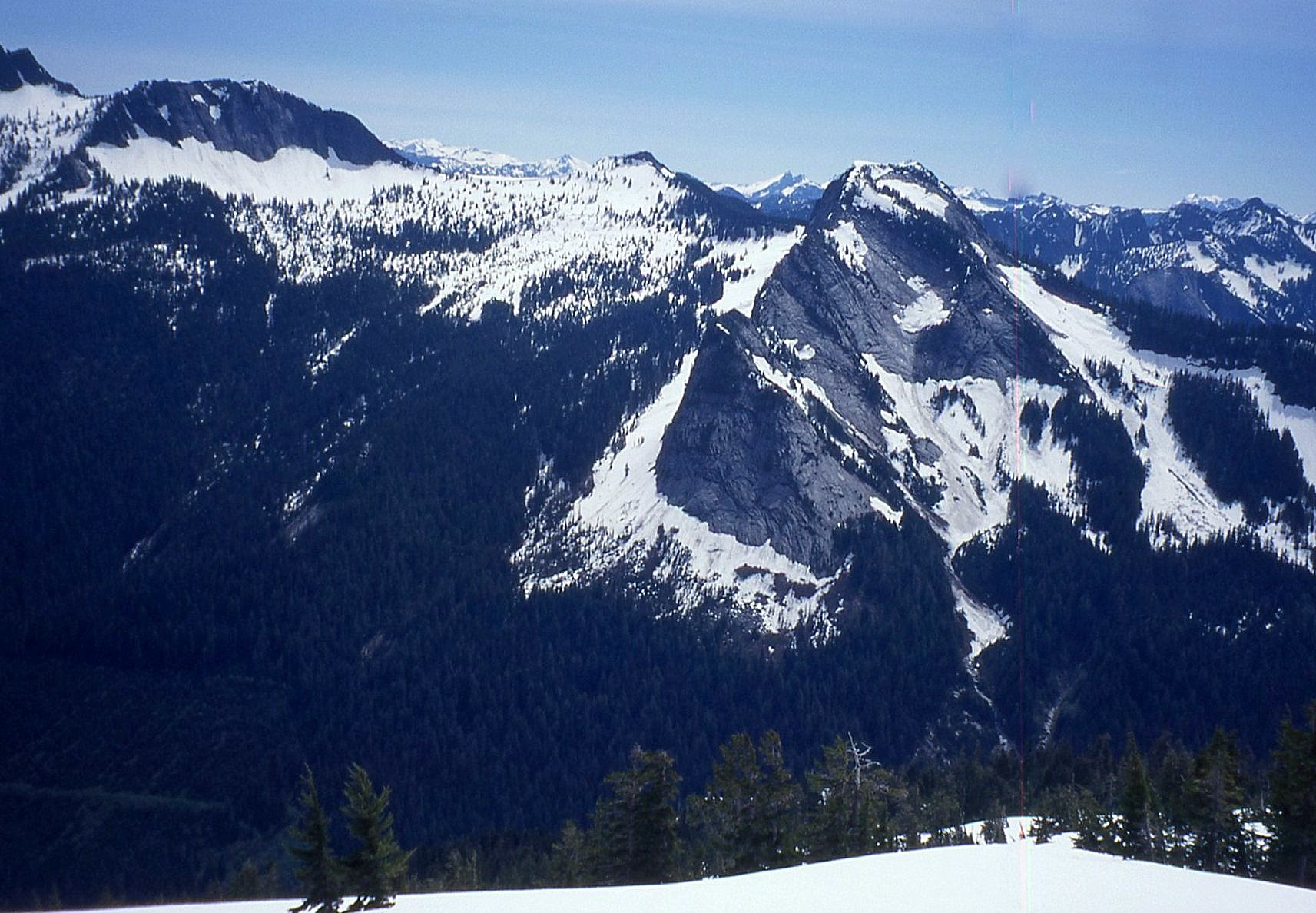
‘Cedar Basin Butte’
5400+ / P240mean
Nepa June 10, 1999
Thanks to Dick Michelson
Peak north of map-labeled Cedar Basin.
May have been climbed by Louis Fletcher in 1898 (see Ulalach above).
‘Panther Tail’
6865’ map. Lidar 6889′ / P543.
FA July 31, 1999
Thanks to Janet Stonington and Dick Michelson
This wavy summit stands as a long undulating ridge above the tail end of Panther Creek. Matt Burton came up with the name “Trumpet Peak” a name I also like for its association with nearby Gabriel Peak. Per wiki: “A familiar image of Gabriel has him blowing a trumpet blast to announce the resurrection of the dead at the end of time.”
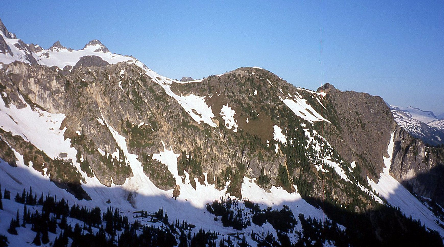
‘Out Box’
5600+ map / P400mean. Lidar: 5692′ / P466.
FA September 16, 1999
Thanks to Gene Mickle
SE Outermost peak on map-named Box Ridge. Up south ridge.
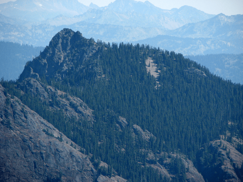
2000
‘Choker Mtn’
4672’ map / P432. Lidar: 4697′ / P497.
Nepa April 10, 2000
With Grant Myers, Dick Michelson, Ron Sawyer, Greg Koenig
Grant came up with this logger-cable name to go with ‘Lumber Mill.’
‘LUMBER MILL MOUNTAIN’
4750’ map / Big P1150. Lidar: 4713′ / P1188.
Nepa/?FA April 10, 2000
With Grant Myers, Dick Michelson, Ron Sawyer, Greg Koenig
This is a WA P1K Peak in ‘Loggers Island’ above Mill Creek. We approached up north slope.
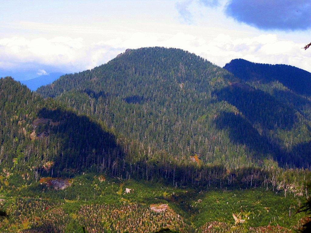
‘Dead Duck Mountain’
4642’ map. Lidar 4621′ / P487.
FA May 12, 2000
With Grant Myers and Pantera, Grant’s dog
Head up the Sauk River/Mountain Loop Highway from Darrington, turning left up the White Chuck River. Then in another 5 miles, just before crossing the White Chuck bridge, Dead Duck Creek is crossed, just north of Mount Pugh. About 1.5 miles NE of Pugh in the center of Section 23 is an unheralded 4642’ peaklet with 482+ feet of clean prominence.
No one would never ever go to this spot voluntarily unless they were prominencians who would “wring out the quads” and figure out landforms that rise the magical 400 feet above the pass that separates that peak from the next higher peak (in this case, Pugh). Dead Duck does.
How did Dead Duck Creek, an actual name on the map get its name? Did some Forest Service ranger come upon a dead duck here, or was this named for Nels Skaar after the district ranger upbraided him for playing his ribald Rat Trap song to the Darrington Forest Service office?
Grant, his dog, Pantera, and I parked at the upper end of the White Chuck River bench trail at 1550’, north of the river, and walked west back over the bridge, then headed up straightaway via the NNW ridge of Dead Duck. Grant enjoyed the concept that his Springer Spaniel, a bird dog, was “retrieving” Dead Duck Mtn, though he admitted he’d never shot a duck, and that Pantera had never fetched one.
The lowest section was a messy steepish muddy slope with windfalls that became more pleasant at 2600’. At 4100’ the fresh snow quickly piled to a foot deep, where we snowshoed on up to the top. There was an opening on top that gave good views north to look up through the trees to the impressive, quite serious NE cliffs of Pugh. 3.4 hours up, 1.5 down.
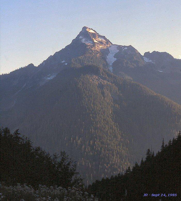
2001 No FAs
2002
‘Cadastral Point’
4811’ / P311mn
FA June 20, 2002
Thanks to Mitch Blanton, Ian Mackay.
A point at the cadastral-boundary line between the North Cascades National Park and Ross Lake National Recreational Area. We crossed over this rise as we ran the ridge between Arctic Creek and Little Beaver Creek from Ross Lake to The Saint, camping along the way atop Mystic Mountain after a 9.5 hour climb.
‘Arctic Mountain’
5941’ map / P421.
FA June 20, 2002
Thanks to Mitch Blanton, Ian Mackay.
Above Arctic Creek.
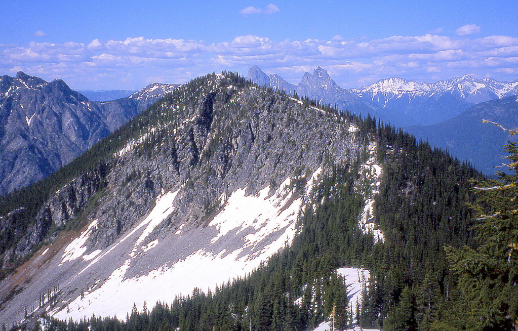
‘MYSTIC MOUNTAIN’
6574’ map / P534clean. Lidar: 6603′ / P614.
FA June 20, 2002
Thanks to Mitch Blanton, Ian Mackay
Between Mist Creek and Arctic Creek. Very Mystic. We camped on top.

‘Elementary Peak’
5960+ map. Lidar 6002′ / P540.
FA October 16, 2002
Thanks to Grant Myers

The 7th time was finally the charm. This peak is a 440′-prominence summit, just east of Mount Watson. Sherlock Holmes’ classic comment to “my dear Watson” clued us into the name. Over the previous month plus, I had failed on six attempts to climb this summit. The first three tries were foiled by al-Qaida. On September 12, 2002, we were stymied at the Baker Dam by a “Road Closed” sign which I drove around, only to be stopped by a young man in a Puget Sound Energy truck who told us we could not proceed across the dam because of a nation-wide 9/11 restriction on strategic structures. I bought that.
We returned on 9/14, and again the “Road Closed” sign was out, and once more we were stopped at the dam by the Orange Alert. But we were amused here by Rex Brainard, the friendly security guard on duty this day, a great 71-year old gent who looked happy to have someone to talk to as he got out of his old beater and leaned on my roof. I asked him if we could get through since I’d graduated from Concrete High School, and promised to do the dam no harm.
“Really?” he said, “I didn’t think anyone actually came from here.” He was from Bellingham and knew Beckey and Tom Stewart (FA of NE Buttress on Goode), had climbed the “north ridge of Shuksan” by himself, and told us he’d written a book on the mountains called Cascadian Odyssey with the Blueberry Kid. Later, I looked the book up on Amazon.com and found this review: “Descriptive mountaineering tales that transport the reader into the adventure. Rex Brainard’s vast mental landscape of mountain adventures is forthcoming for the reader to enjoy. [This book] offers a new touch of class to mountaineering adventure stories with excitingly stimulative short tales of relentless mountaineering exertion. Designed to give you entertainment and knowledge about hiking and climbing in the Cascade Mountain range of the northwestern United States.”
On a solo outing, I tried again on 9/21/02 but once again found that Baker Dam was still under Orange Alert (you’d think I’d learn), but I got another chance to talk to Rex, who came out of his 1980 Chevrolet Monte Carlo to chat with me. He wondered what was beyond the dam that was so darn interesting to me, then told me that he climbed an east summit of Watson. Maybe Elementary Peak, I wondered, or maybe the summit above Diobsud Lakes, or maybe just Watson’s East Peak.
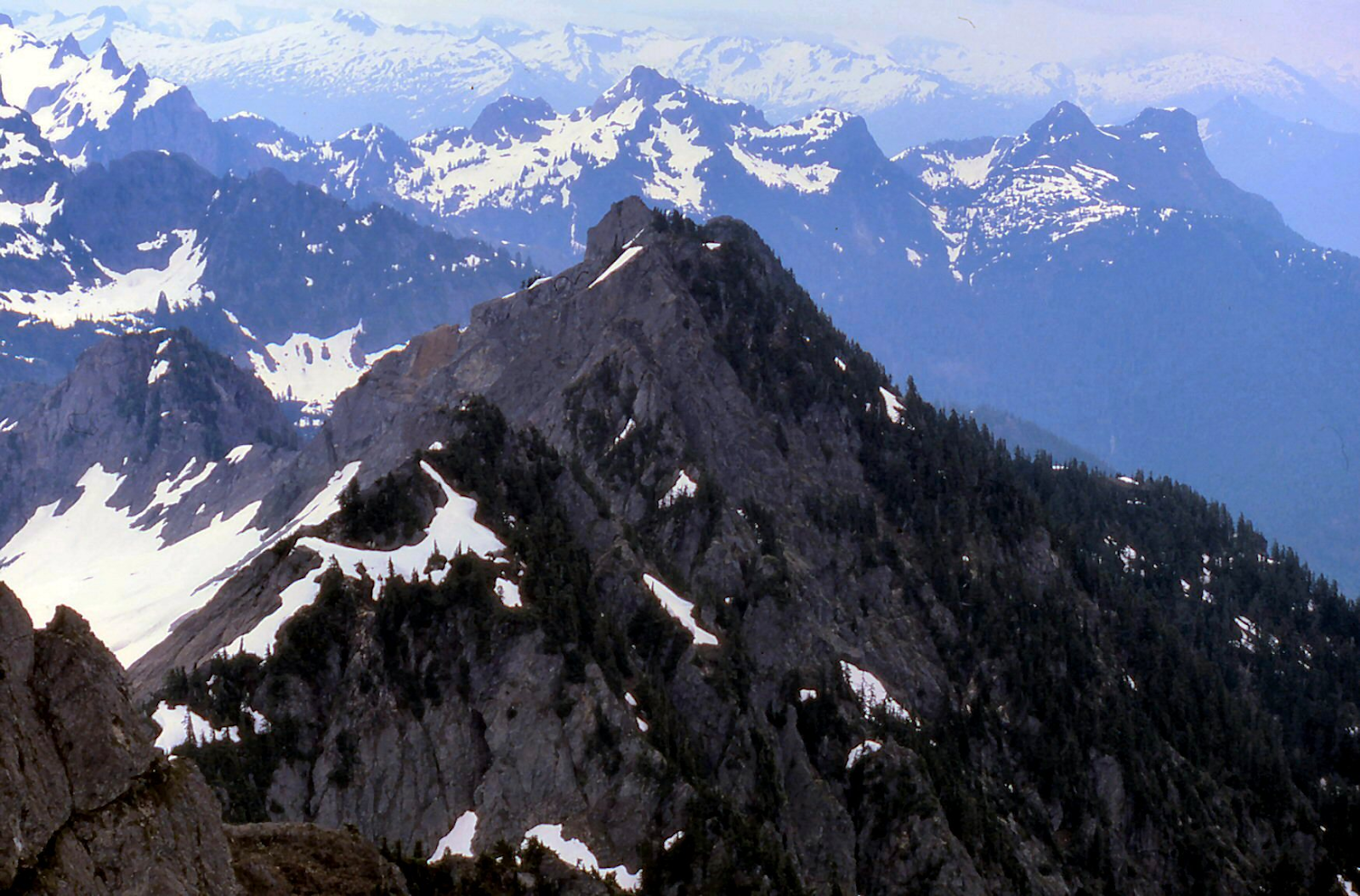
The next three rejections were weather related, with one party collapse. Finally on 10/16/2002, fellow Whatcom County native, Grant Myers and I met up to try this thing. We actually made it across Baker Dam on a perfect day, and on up to the cheatingly high 4300′ Watson Lakes trailhead. Hiking this trail to the 4800′ pass above the lakes, we angled right just beyond to the upper Anderson Lakes, then crossed back over the west ridge of Watson at 5320+ to sidehill around the picturesque glacial polished undulations under the north glacier of Mount Watson.
A steep rib coming NE off the 6280’+ highest, east summit of Watson forced a drop to 4950′. Once around this, the objective appears as a multi-summited menace, topped by a steep-sided rocket of rock. Grant asked if we really should be calling this Elementary, since it didn’t appear to be that at all. As we made our way to its NE side where the map said the contours were easiest, we stayed primarily on morainal debris to avoid the rock-hard snow. The final gully up to a notch in the east ridge crest proved to be wet and slippery, so we moved right onto solid class 3+ rock with bomber holds.
The top appeared to be undisturbed by human kind, including Rex, and we guessed that possibly he climbed the lower summit to the east. Was this a previously unclimbed 400-foot rule peak in the North Cascades National Park by virtue of its hiding place? If so, we wondered if it was the last NCNP peak with significant prominence to finally be climbed. A marmot however, had obviously made several visits to the top of Elementary, leaving behind a huge cairn of his own making, very alimentary.
Watson, Baker, Shuksan, and Bacon dominate the scene from the top, and Grant pointed out his route to Bacon dropping into upper Noisy Creek, with a camp at a 5700′ flat. We enjoyed naming off the obscure Skagit and Baker River peaks, and looked down on the two summits Mitch had toiled to at the head of Thunder Creek (Thunderhead) the month before.
On the return, we dropped into the Watson Lakes and marveled at their colorful shores, brilliant with reds of blueberry bushes contrasting with the bright golden yellow of the mountain ash against the clear pale green water. 3.5 hours up, 3.3 hours return.
[2005 addendum: On July 31, 2005, Paul Klenke climbed the 6760+ foot south peak of Mineral Mountain (Mineraloid to Paul) making this peak the last unclimbed clean 400+foot prominent peak in the North Cascades National Park to see a first ascent.]
2003 No FAs
2004
‘Gambol Knob’
2740’ map / P500clean. Lidar: 2762′ / P559.
FA June 13, 2004
Thanks to Ian Mackay and Dougall “Dougie” Ian’s dog.
Cute knob above Proctor Creek. Playing off of Procter and Gamble, the word gambol romped into my mind, defined as “a skipping or leaping about in play. The word can be used of any frolicsome creature, suggesting levity and spontaneity, and it tends to be used especially of the lively activity of children or animals engaged in active play,” and those who climb and claim this summit.
We parked at a gate on the King-Snohomish County line and made our way to and up the SE Ridge to a false summit, where we angled left up the final slope.
2005
‘Nine Lives Peak’
5110′ map/P430clean. But alas Lidar: 5094′ / P352.
USGS Mount Stickney
Nepa/First Winter Ascent March 6, 2005
Thanks to Mitch Blanton (age 58), Ian Mackay (57), Jerry Huddle (52), Mike Collins (50), Mike Torok (50), Don Beavon (48), Greg Koenig (36), Paul Klenke (33). JR (61)
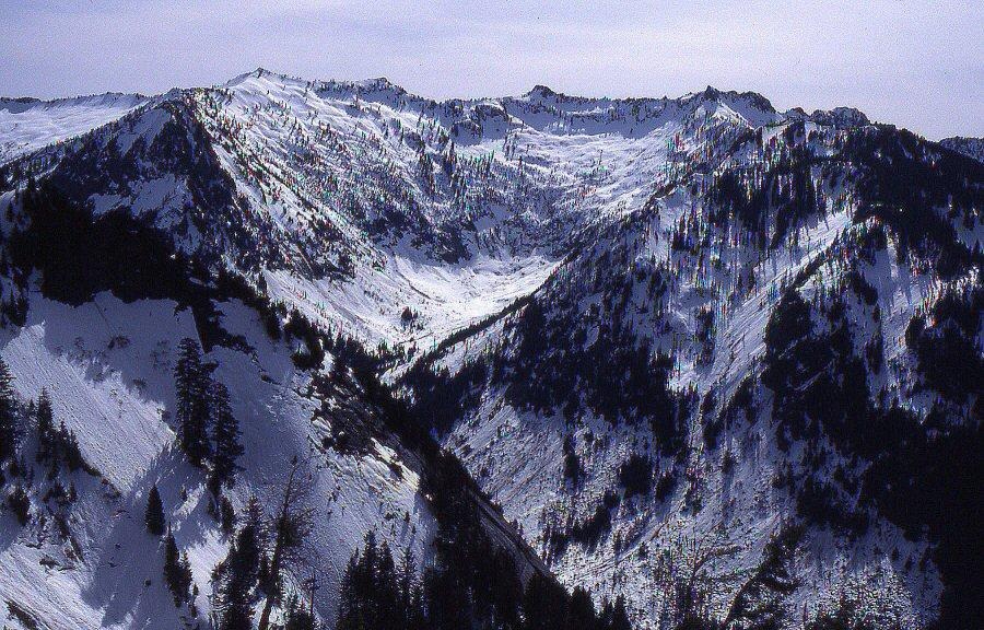
This ridge was previously thought of as: Little Four, The 4 Parathyroids, Prescient Peaks, Crenulated Ridge, Zip-Line Ridge, Clothesline Peaks, Tyrolean Peaks, Strung-Out Ridge.
Which peak is highest? Had it been climbed? What should we call it?
Short story: Turn N off HW 2 just E of Sultan and follow the Sultan Basin Road to Olney Pass. Shortly after the pass, a gated road right of the main drag can be biked for 5 miles to the Middle Fork of S Fk Sultan River to a (bridge out), just below Kromona Mine.
Either take the “trail” remnants to the significant mine relics and scramble over Prospect Peak turning right/south to a 4400- saddle just SE, or reach this saddle x-c directly from Middle Fork. From the pass descend 300′ then do a gradual ascending traverse over snow or boulder fields to the 5110’ pinnacled top. A 20-foot class 4-bouldering exercise via a wide crack up sticky rock completes the climb from the south.
Longer story: Strung out on the ridge running east from Mount Stickney, between Wallace River and the amusingly confusedly-named branches of the South Fork Sultan River are a number of nearly 5100-foot, unnamed craggy peaklets. The highest of the group is a good-looking 5145′ rock horn, anchoring the east end of the divide, now popularly known as “Bushwhack Peak.”
Between Stickney and Bushwhack, above basins of the south forks of the North Fork of the South Fork Sultan River (really), are four summits that show on the 7.5’ map as 5080+ or this contour plus a precise number. The highest of these was our goal. They are not listed in CAG, and none of us knew of anyone that had previously climbed any of these.
The North Fork of the S Fk Sultan River should really be simply the South Fork Sultan River. The 1957 15-minute USGS Mount Index introduced the confusing terms that were later copied onto the 1989 7.5-minute USGS Mount Stickney. As the map shows now, the North Fork is south (but mostly east) of the S Fk Sultan River. The 1921 30-minute USGS Sultan had the river correctly named.
The assembly of our group of prominence-driven Cascade obscurists was interesting. First of all, Ian and I were planning to do this very 5110-foot summit, thinking it could possibly be a first ascent on this day by ourselves. Luckily, Paul Klenke emailed me the day after Ian and I had decided on 5110, suggesting this very same unknown summit. And that evening Mitch Blanton called saying he wanted to do something on Sunday, possibly Prospect Peak, one of our shrinking number of “double negatives” (peaks neither of us had climbed), and when the 5110 bonus was mentioned, Mitch bit hard.
So it came to be that 9 of us got together at the Monroe smokestack at 6:15 AM on Sunday, March 6, 2005. Quite a group, the largest party I had ever climbed with. Paul asked if we needed permission from the Mountaineers to go out with a party this size.
We drove to Sultan and up the Sultan Basin Road, signing into the Everett watershed at Olney Pass, then took the first gated road right, immediately beyond the pass which leads up the south side of S Fk Sultan valley. This road was washed out 1.1 miles beyond the gate (in 2005), and is reasonably flat the whole way, and in very good shape for biking, the much-preferred travel method versus walking this 5-mile stretch.
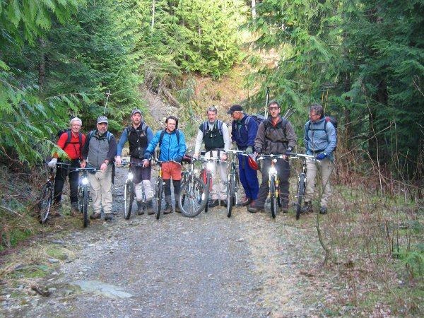
Blowdowns and snow stopped the bikes just short of the washed out bridge over the Middle Fork of the South Fork Sultan River. Howard Putter and I had driven here 12/6/1986 on an aborted attempt on Stickney.
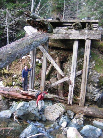
Mike C and Paul were our guides from here since they had just climbed Prospect a month before. I was looking forward to the trail and the 1000-foot gain to the Kromona Mine, then the scramble up Prospect Peak, followed by the basin run over to Peak 5110. However, since Mike and Paul had already done Prospect, they rejected the trail to the mine, leading us farther up an overgrown road to the first major drainage where we boulder-danced up a couple hundred vertical, angling right into forest, surprisingly running across a serious shelter with a nice solid shake roof and a turnbuckle support system to keep it from falling downhill.
From here, a series of right-drifting sections of brush with some interspersed pleasantness in open forest, meadows, and boulder fields led to “Prospect Pass,” a 4400-saddle between Prospect Peak and the pair of 5080+ peaks to the south. At this point we had to drop about 300 feet to get around a cliff band before doing a pleasant gradual ascending traverse over the open snow basin to Peak 5110. The soft snow held pretty well at boot-top depth, with an occasional leg sinking into the crotch. The powerhouses fresh off a winter ascent of Helen Buttes the week before (Don, Mike C, and Paul) thankfully built the path for the rest of us.
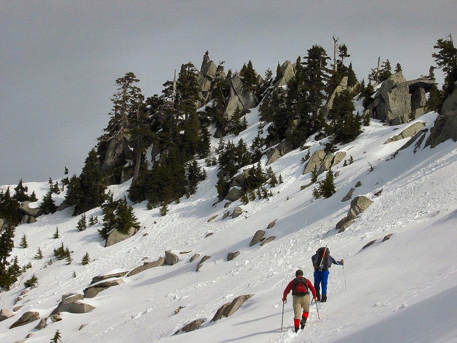
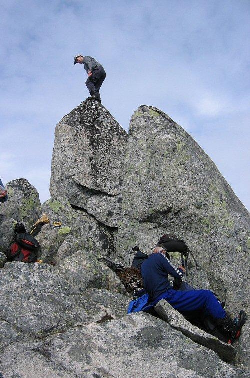
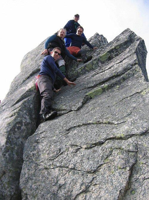
What should we call it? No one was quite happy with the possible nominations until Don came up with “Nine Lives” shortly after two cameras quit working from 8 dead batteries at the summit.
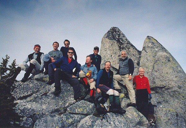
The final question: Had this been previously climbed? Unfortunately the early-arriving conquistadors this day destroyed the evidence before a full scientific investigation could be completed. Some described a group of rocks at the bottom of the summit crack that looked as though a larger rock had naturally fragmented and then tilted like a loaf of bread tipping sideways (pointing out that the juxtaposed slices had no lichen on either side). Others thought this represented a cairn that had fallen over. After Mitch tore into the rock, looking for a register, and finding none, it was impossible to tell whether this was man-made or not. So this goes down as a possible FA, and certainly a “first winter ascent.” 5.5 to 6 hours up.
Back home and combing through my slides from Snowslide Peak 5000+ and Bushwhack Peak 5145 (the peaks to the SE and NE), I came across this photo of the Bushwhack register I took on August 30, 1992. Note that an old-time Bulger Jon Zak “Zebra” and Barry K. Brown signed in here on July 29, 1978, the year after they did the FA of Frostbite. They came in from Kromona Mine. So if they did not tag Nine Lives, it was purely by design and disinterest, as they had to have walked right underneath it (see first photo above). We nine still had a good workout, and at least the first registered ascent.
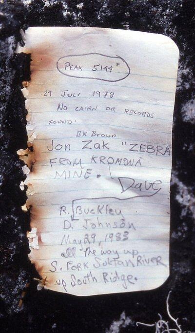
We reversed our route back to the 4400- ‘Prospect Pass’ while Paul and Don scrambled up the bonus 5080+ point west of 5110.
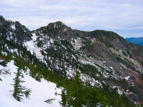
We exited up and over Prospect Peak 4640+ then dropped down to Kromona Mine, a once thriving hole yielding 11 minerals .
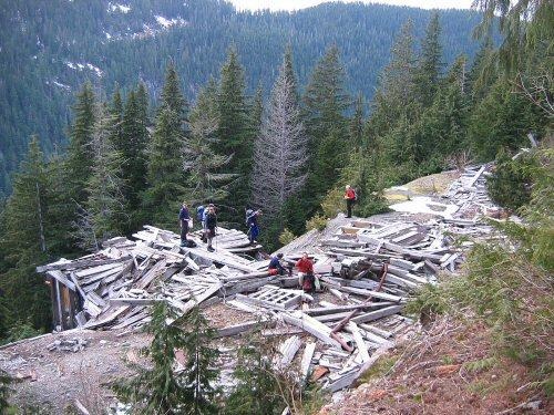
With the sun going down, we hustled down the so-called trail, past a cute 5-foot-deep adit, reaching the bikes at fading light. The others had more steam than I, leaving me in peace to pedal out alone in darkness inadequately illuminated with the soft light of my LED headlamp. En route I did an end-over header, breaking my ski pole on the impact, as my front wheel hit an unseen rock. The boys were glad to see me back, if only because my car was blocking their exit. 4.5 hours down.
Addendum on Nine Lives First Ascent history
On March 17, 2005, I received an email from Jon Zak “Zebra” mentioned above, who as an early Bulger, I’d certainly heard of, but had never met. Jon wrote, “I stumbled across your site, when a guy on the bus emailed me your story of ‘Nine Lives Peak.’ He saw my name [Zak] and asked if that was me. Previously, I had told him that I’d done some climbing in the past.” Jon works for Seattle Metro as a mechanical engineer.
Initially Jon wasn’t sure if he and Barry K. Brown had climbed “Nine Lives” or not on July 29, 1978. “All I remember about this trip was that my watch stopped working (Barry didn’t have one) and as we were crashing through the brush on the return to the Kromona Mine I fell into some kind of a hole.” Jon contacted Barry “who is an accountant, and keeps good records,” and Barry confirmed that after they climbed Bushwhack, they also did Peak 5110 (“Nine Lives”) on the return. Barry sent this information to Beckey, so this should already be in the latest green CAG.
So that FA possibility for the nine of us lasted 11 days. But the First Winter Ascent still stands.
How did they chance on picking out such obscure summits as Frostbite and Bushwhack, more than a generation ago? “In the spring of 1975 or 76 I [Jon Zak] climbed South Crested Butte with Buff & Aardvark [Mike Bialos and Jan Anthony]. I looked across the valley and saw Frostbite [Peak 5335]. I said to Mike, “What is that peak?” He did not know. A couple of years later I was doing more climbing with Barry K. Brown. When I mentioned Peak 5335 and maybe a FA, he was interested. He nicknamed it “Zak’s Stack.” We never documented our ascent. Russ [Kroeker] and Buff climbed it later from Boulder Lake and saw our names. Several years later, Russ called up and said Fred was at his place and wanted info on our ascent. Regarding Bushwhack, I’m sure we noticed it from Frostbite.”
In addition to the above, Jon told the very interesting history of the “Origin of the Animal Names” for what were to become the Bulgers.
Even more alas: Lidar now says this 5100’ peak is the highest of the four peaklets on this ridge with a P458 Lidar, stealing the prominence from Nine Lives Peak which Lidars in at 5094, so 6 feet shorter.
Addendum to Kromona Mine history
Two days later, on March 19, 2005 this landed in my In Box.
“Here is Ed Boulton to tell you about the Kromona Mine. It was originally prospected by Joe Kromona, who staked mineral claims, formed a stock company, and raised money to open the mine. It’s most valuable mineral was molybdenum, used for alloying steel and other metals, also for a super lubricant (molysulphide, I think). My father and I were taken there by John Meduna (another story) who seemed to want my dad to dump some money in.
The mine was high above the road and we rode the buckets on a big steel rope up to the portal. The mine was mechanized with modern equipment and there was a 100-ton concentrating mill below in full operation. Two huge diesel generators powered all the equipment and the concentrates were contained in an enormous tank-like silo and were shipped periodically to the Tacoma smelter. As you said, there were a lot of minerals there (gold, silver, copper, zinc, molybdenum of course, and I don’t know what else). Joe [Kromona] could never get enough investors to pay to have the mine fully blocked out (extensive core drilling to determine the total amount of available ore), so the mine was finally closed for good and scrapped out. Our visit was around 1960. At the time I was 33 years old, married with three children and hadn’t discovered the joys of mountaineering (did that in 1962). I would guess Joe’s age then at 65-70 years. I wonder what Jon Zak observed when he went there. I think I’ll ask him.
Thanks for including us in your report on “nine-lives-peak.”
Ed and Hille Boulton
‘FALLACY PEAK’
4888′ Lidar / P351 Lidar
New route/2A? First Recorded Ascent March 13, 2005, but previously cairned.
Party: Paul Klenke, Fay Pullen, John Roper
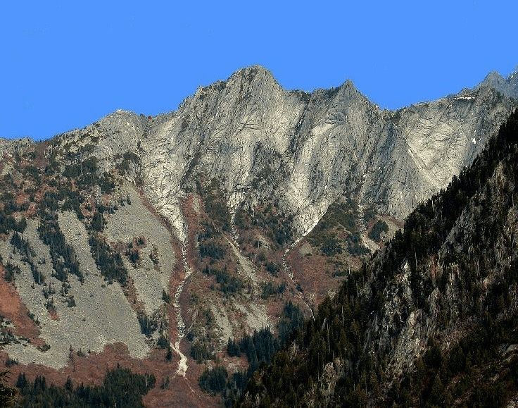
On all of the USGS Mount Stickney quad, only three officially-named peaks appear on the map: Red Mountain, Mount Stickney, and Prospect Peak. Jeff Howbert identified 11 additional peaks with greater than 400 feet of prominence on this quad, including the well-known but unofficially-named Frostbite, Static, and Bushwhack Peaks. There’s at least one more.
From across the valley on “Nine Lives Peak” the week before, it was clear that the “looks” of one particular peak revealed a fallacy in this prominence-only method of peak selection. ‘Fallacy Peak’ 4800+ (on map) standing just SW of Boulder Lake deserved a look, even though it had only 280 feet of prominence on the 7.5-minute Stickney map, or. The south side of this summit a series of nice granite ribs and faces, will someday become a rock-climber’s mecca, and will probably have a trail leading to its base extending up from the path now into the adjacent Static Point wall. Darin Berdinka and Gene Pires put up a couple of new lines on eastern pinnacles here in 2004, calling one “Tang Tower.”
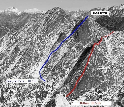
Paul Klenke had previously identified another possible goal in the same neighborhood and saw from Nine Lives that this summit was worthy, so he was anxious to investigate it with me, and Fay Pullen answered an email invite with, “You bet I’m interested.”
On a perfect day, we drove the Sultan Basin Road up over Olney Pass (again), contouring around the very thirsty-looking upper reaches of Spada Lake to the Boulder Lake trailhead 1640 feet. It was a 3.8-mile, 2050-foot gain hike to Boulder Lake 3706′ which was starting to thaw out along the edges. The conditions were more like early July than the end of winter. The DNR has put in a little campground here complete with sheltered privy.
I’d taken a shot of the NE face of Fallacy on 4/21/91 (below) in a year with considerably more snow than 2005. It revealed a slanting snow route just about to the top from this direction, but on 3/13/05 the gully was totally bare, and cool enough to make the duff hard in places.
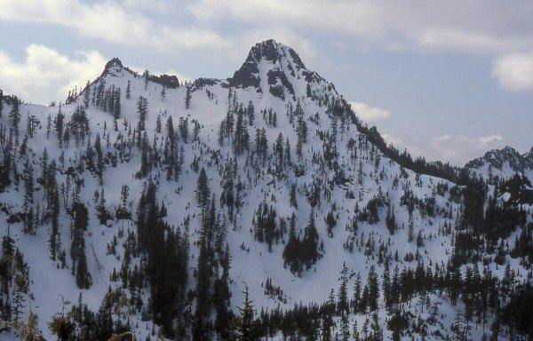
We decided to clamber up the quite open North face of Fallacy, then opted to traverse right at 4200 feet to access the West ridge, hoping that if we came out E of a little tower on this ridge we’d be OK.
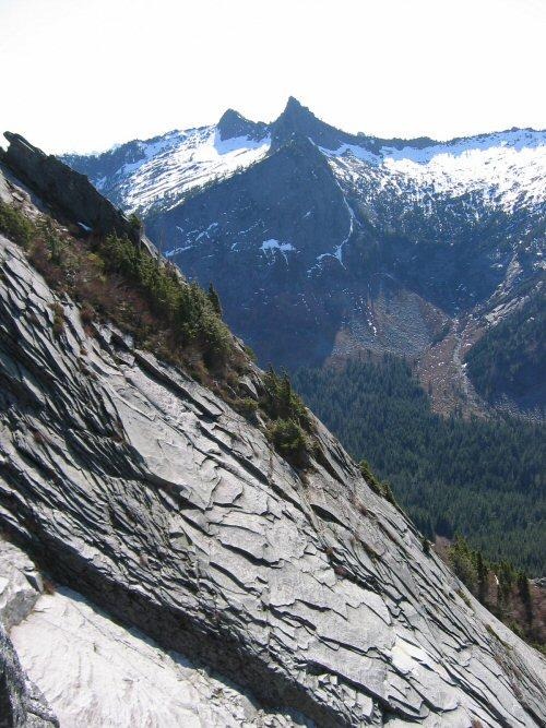
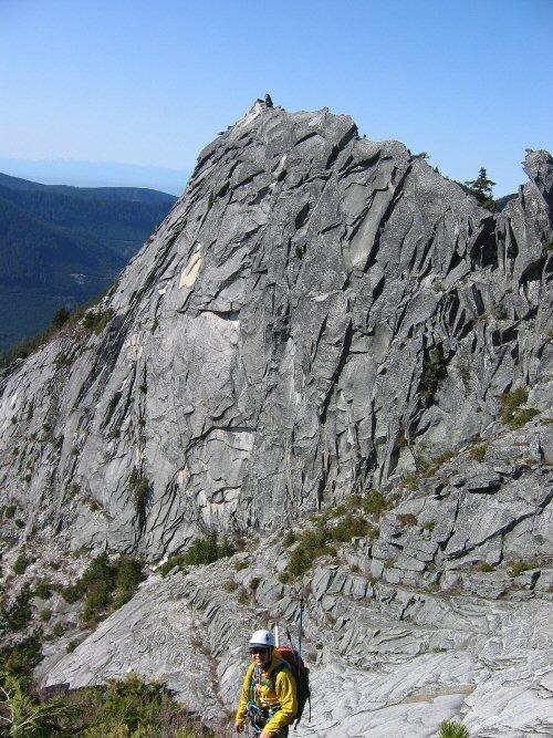
We’d come out E of a problematic W tower, but the skinny upper W ridge above us offered some interesting challenges, though never more than brief class 4 moves. We stayed on the narrow crest for one pitch, then dropped right to contour over the onion skin to avoid a vertical pinnacle on the crest. Once past this, we ascended stabby sticks and sticky slabs back to the ridge, and on to the top.
Just in case this was to be a first ascent, we encouraged Fay to lead us up the last few steps, since she’d never had a FA to her credit. Alas, the summit had a small cairn, but annoyingly, no register, no history. The cairn had been there long enough to have killed the lichen under the rock pile. 5.8 hours up.
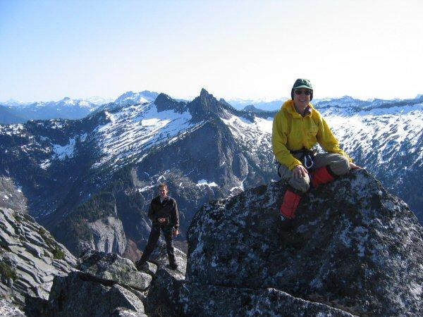
We basked in the sun, ate lunch, and shot shots of this largely ignored piece of rough Washington wilderness.
On the descent we took what was now obvious to us as the easiest way up this peak, the NE gully next to the N ridge (the one full of snow in April 1991). Evergreen bushes made for good handholds up high, but then we opted to rap one rocky section to avoid some minor down-climb worries. Rejoining our up-route on the N ridge, we dropped quickly back to Boulder Lake, and down the trail to the car. 2.6 hours return.
‘ERRANT PEAK’
4640+? or 4680+? / P>400 on map. Then Lidar spoiled the fun 4580’/P382.
FA October 30, 2005
Party: Paul Klenke, Fay Pullen, Martin Shetter, John Roper, Sofy Roper-dog
LoJ. PB circling NE peak as highest, but interpreting Lidar as P382. CAG-
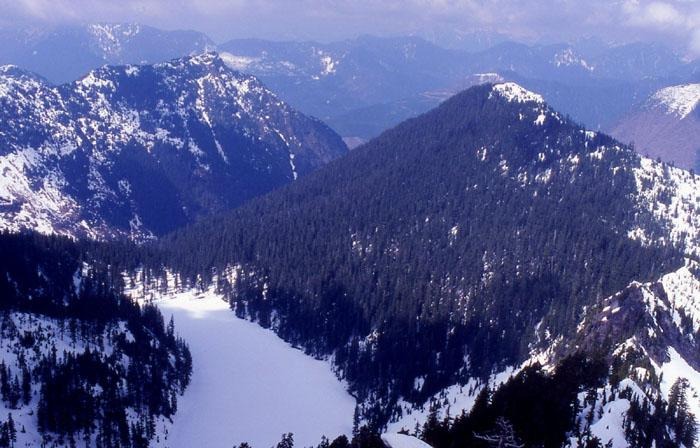
This unheralded summit lies about 5 miles SE of the upper end of Spada Lake in the largely-ignored Sultan River drainage. Paul Klenke raised this landform to the level of consciousness on January 11, 2005 when he sent me (and Jeff Howbert) an email noting that he had discovered a map anomaly as he was reviewing the peaks and contours on the USGS Mount Stickney quad. Take a look at this map link, and then take a closer look at the contours on the peak marked with the crosshair just north of Boulder Lake. On first glance there appear to be two 4640+ summits on this ridge, the closed contour marked, and one just NW.
Paul’s sharp eyes (and mind) noted something fishy on the map here though. He picked up on the peculiarity that there are 7 contours above the bolded 4400-foot contour encircling the SE point. That would make this summit the 4400+ contour plus 280′ (7 contours x 40 feet per contour) = 4680+ feet high. If that is the case, then the bolded contour above the 4400′-bolded contour is actually the 4640-foot contour (not the expected 4600-foot contour). Labelling elevation contours may help here:
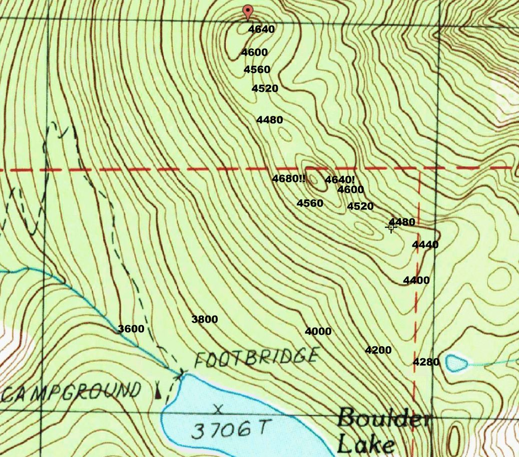
If you are still with me (and Paul) here, we’ll move on to why he was so interested in this anomaly. Take a look at the saddle just SE of this 4640+(?) or 4680+(?) summit, between Boulder Lake and a tiny unnamed lake (‘Anomaly Lake’). If water were to rise to this 4280- saddle, it would isolate this “Errant Peak” as either a 360-foot, or 400-foot island, depending on what its height really is.
I looked over my slides of this landform then and wrote back to Paul that the extra-erroneous-contour theory was probably the right answer here, since it looked by eyeball on the photo below like the NW 4640+ foot summit was higher than the SE 4640+/4680+(?) summit. But also noted was that, “If Jeff sticks to his usual protocol, the map wins, and will be the final answer, and you will have just ‘died and gone to heaven’* by finding a WA peak with 400 feet of prominence that Jeff missed.” Paul had already been thinking of it as “Errant Peak.”
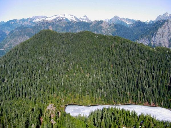
Climbing this summit will take less time than understanding the above. Paul, Fay, and I talked about hiking up this the day we did Fallacy Peak last March 13, 2005. The three of us met up again October 30, 2005, and were joined by Martin and Sofy for a gray and drizzly drive to Sultan and on up to Spada Lake to the Boulder Creek trailhead (1650′).
The trail conversation was so entertaining that the two-hour hike (4 miles/2050-foot gain) to 3706′ Boulder Lake seemed much shorter. At the lake, Paul announced that he wanted to go to the prominence-defining Noah’s Saddle for our peak to take altimeter and GPS readings that might confirm, or at least lend support to this being a true 400-foot prominence summit. I told the group that while I was a peak bagger, I was not a “saddle bagger,” so while they headed for the saddle, Sofy and I made a beeline NE for the Errant summit.
The initial couple hundred yards above the lake were brushy with snow-draped huckleberry soaking arms and legs. Then as the forest opened up, a bit of sun did come out, which was not to our advantage as it warmed the snow-laden boughs overhead making the rest of the trip to the top seem like we were in a cluster-bomb raid, as snow clumps plummeted from the sky crashing to the ground all around us. Luckily Sofy and I took only one glancing hit.
Taking the hypotenuse route to the 4680+? top put Sofy and me here ahead of the saddle-baggers. The snow was maybe 6-8-inches deep. 3.25 hours up from car. Even though the views in most directions were blocked by trees, it was clear that this SE point was lower than the summit a quarter-mile to the NW. About 10 minutes later the others joined us, and Fay pulled out her clinometer to confirm that the NW peak was one-degree above our point on the SE contour. Geometrists, please do the math. After a quick bite (Sofy thanking Paul for sharing his jerky) and a few group photos, we slid our way over to the highest point.
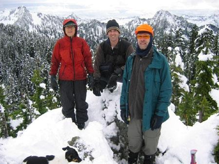
The higher NW top was a rocky knob that offered 360-degree views to a wintry scene. Fortunately the cloud deck was high enough to get some good shots. “Frostbite Peak,” was looking particularly nippy. We were also impressed with a 5550’ unclimbed peak (at crosshairs) right across Elk Creek from us which is mislabeled on the map as “Red Mountain,”
All of our instruments corroborated our eyeball estimation that the NW summit is the highest point of this landform as the saddle-baggers put their figures together to conclude that this summit of “Errant Peak” was about 450 feet above its prominence-defining saddle.
We are also staking a strawman claim to a first ascent of this peak as the 8+ inches of snow made for some uncertainty. Returning a slippery way down to the trail, we arrived back at the car in less than 2 hours, 6 hours after we left.
2006
‘Black Widow’
7240+ / P280mn. Lidar: 7458′ / P347.
FA July 9. 2006
Thanks to John Scurlock and Jim Nelson (Gary Mellom in support)
Good name idea by John S for this sub-summit east of Spider Mountain.
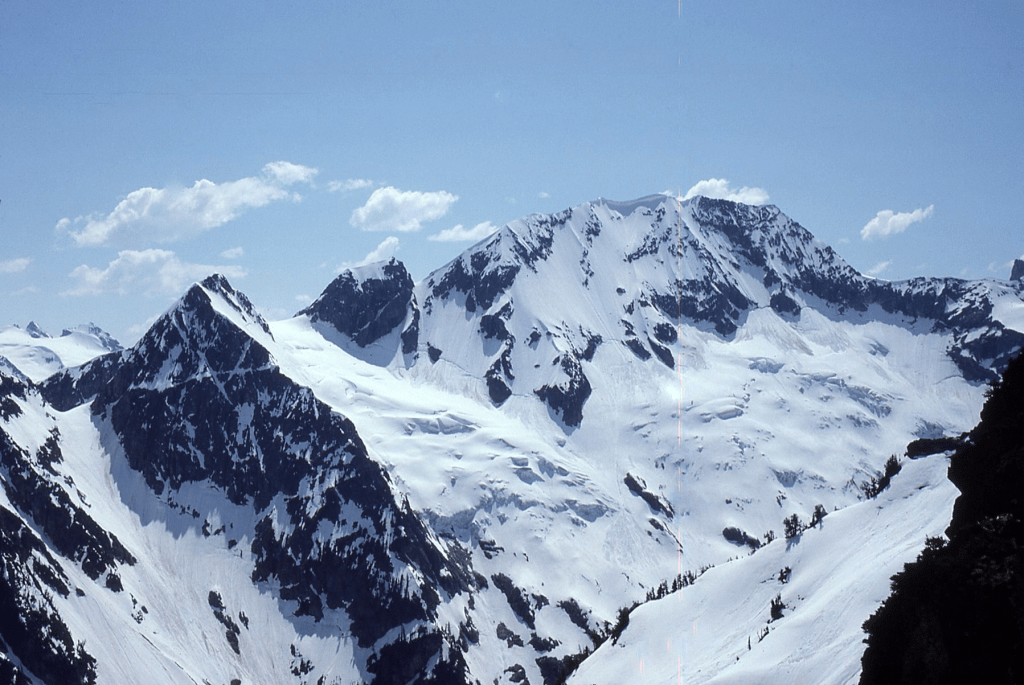
‘Charge Nurse’
5200+ / P160mean
FA July 23, 2006
Thanks to Aaron Roper
Map at crosshair
We were hoping to get to ‘Camp Nurse Mountain’ 4680+ named for Aaron’s grandmother and Newhalem’s RN, but ran out of time and into technicalities on a descent from Trappers Peak. Its shape is somewhat like an old-fashioned nurse’s cap.

2007
‘The Cork’
2002’ on map. P722clean.
First Winter Ascent December 31, 2007
Party: Paul Klenke, his dog Brie, Fay Pullen, Stefan Feller, Martin Shetter, Jeff Rodgers, Jerry Huddle, John Roper, Aaron Roper and their dog Sofy.
Named mostly for its position above Corkindale Creek, but it also looks a little like a cork. This was Paul Klenke’s 301th peak of the year in 2007.
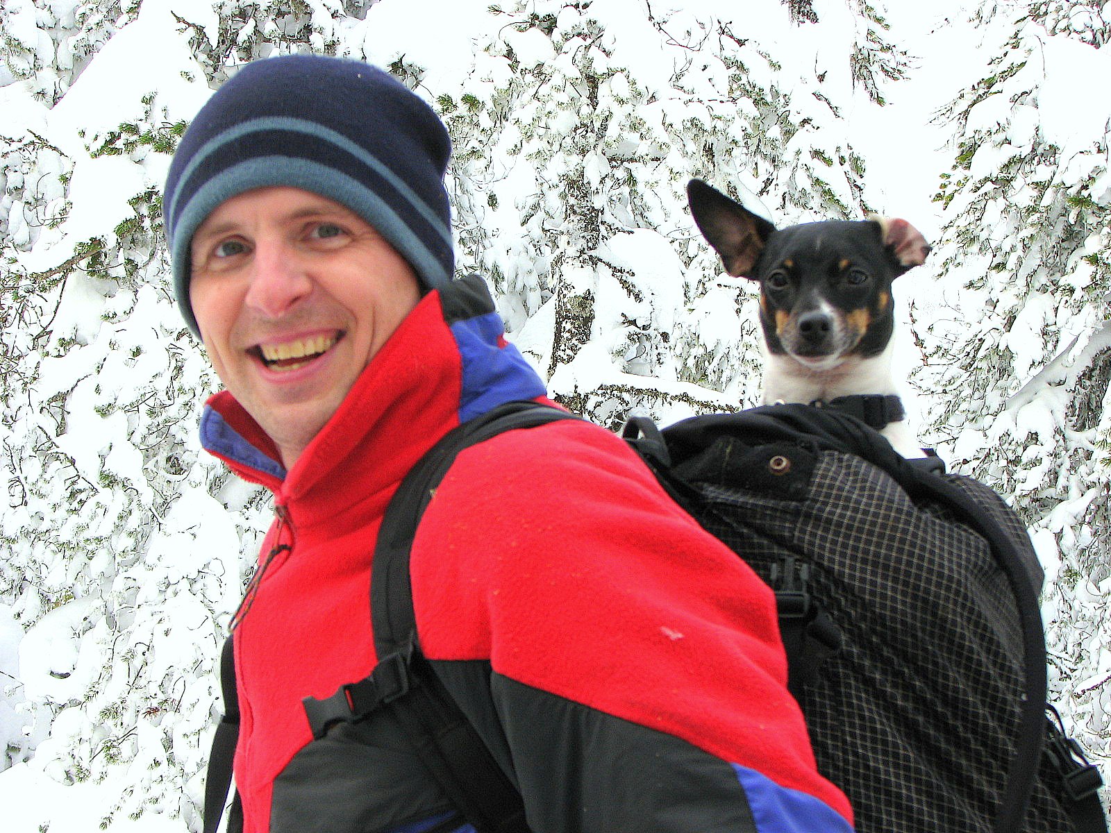
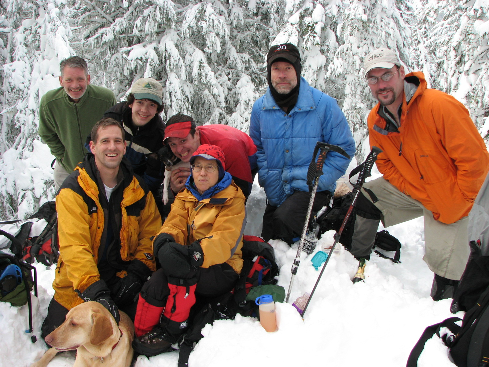
2008
‘Declaration Peak’
Peak 5560+ map / P400 clean. Lidar: 5555′ / P409
Greg Slayden and John Kirk put the Lidar HP on W peak.
Clearwater Wilderness, South Cascades
FA July 28, 2008
Thanks to Aaron Roper, Fay Pullen, Sofy Roper-dog
My Last First Ascent
‘Declaration Peak’ lies about a mile north of the Mount Rainier National Park boundary on Independence Ridge half way between Bearhead Mountain and Clear West Peak on the divide separating the Carbon and White Rivers, at the headwaters of Viola Creek and upper Chenuis Creek.
I’d spotted this 400-foot prominence summit on the map several years ago when I was going through Jeff Howbert’s list of peaks he had identified on the Bearhead Mountain quad. It is almost impossible to find a P400 summit that Jeff had not already documented, but this was one of those rare exceptions. The peak is 5560+ and the saddle is 5160-, for a clean P400.
In Fay’s Jeep, we approached up the Carbon River road crossing the bridge over the river just before entering Mount Rainier National Park, then driving 6.7 bumpy miles to the end of the Cayada Creek road at 4400 feet. A washout about a third of a mile before the Bearhead/Summit Lake trailhead gave some pause. We were the only car in the lot, coming and going.
The trail up to the single Twin Lake 4800′ and on to the 5400′ turnoff to Bearhead Mtn was in pretty good shape with only a few log hops. From this junction the trail over to Hurricane Gap was unmaintained with more downed trees, but serviceable. The off-and-on view of Rainier from this section of trail under the Bearheads was pretty jaw-dropping.

If you look closely and use your imagination, you can see Paul Klenke’s footprints on both Rainier summits (Liberty Cap and Columbia Crest) from July 27, 2008, the day before our trip. It was here he finished five important WA lists on Mount Rainier as a Grand Finale with a single step: The Bulger List, WA Top 100 by P400, WA County High Points, WA County GPPs (Greatest Prominence Peaks), and the 144 WA P2000 Peaks. My hat is off to Paul, especially for the concept!
In 2:45 hours from the car we reached Hurricane Gap 4900′, which is nothing to write home about (so much so, it wasn’t even worth taking a digital photo of). From here we followed the ridge SE toward our objective. In a couple of areas the ridge crest was rocky enough to require drops on the easier south side to bypass. Our first good view of Declaration Peak didn’t exactly knock our socks off.
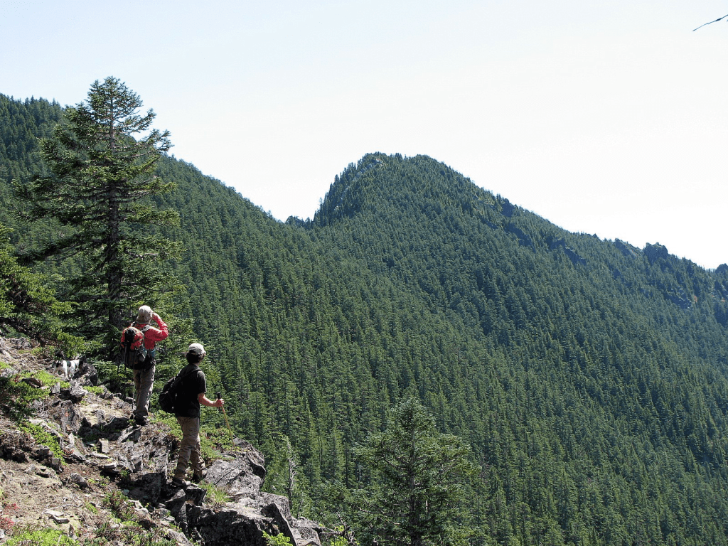
There are two major fault lines that run north-south through this summit. The first was easily bypassed on the south.
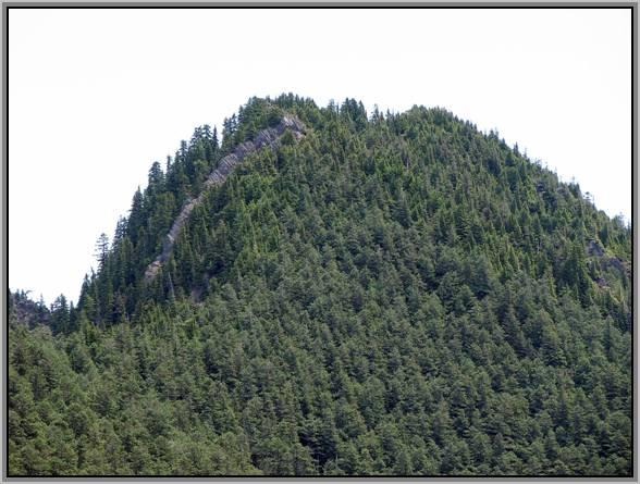
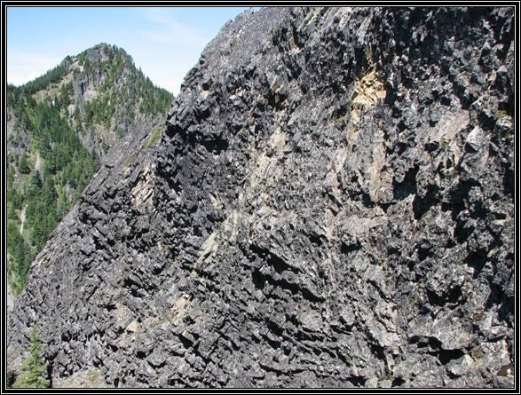
We reached the summit that shows as the 5520+ contour on the 1986 USGS Bearhead Mtn quad where we felt we were standing on the highest point around.

There was NEPA (no evidence of previous ascent) on this summit. We could look down a bit at the left summit here (East Declaration) shown as the 5560+ contour on the map, so we are declaring that ‘Declaration Peak’ has at least this same elevation. Scarface is the mountain with the rock-slide scar in center of this photo.
We went over to check the route on the east summit and found it will require a rappel into a gap before a class 3+ climb to reach that top.
From the Declaration/East Declaration gap, another maybe 76-foot rock tower we called “Pewter Pillar” (honoring Paul Revere) looked to be an interesting future project (yet undone in 2025).
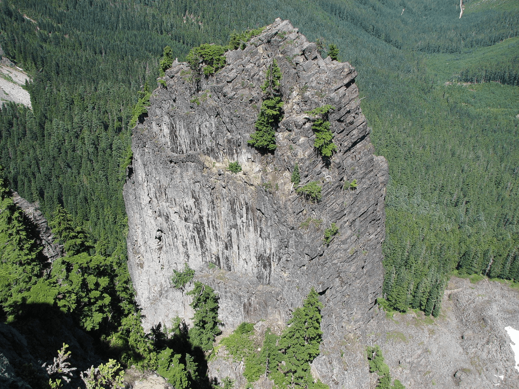
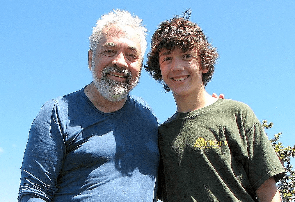

About 5 hours up, 4:15 hours back, at a slow 64-year old’s pace.
On the way home we stopped in Buckley at Wally’s Drive-In for a “Wally Burger” and a “Wallyberry Shake” (raspberry, blueberry, and blackberry) to celebrate the day.
This was my Last First Ascent spanning 42 years (from 1966 to 2008). Most of these peaks were not at all hardcore, but they made me happy.
Addendum:
North Cascades National Park peaks climbed by Fred Beckey
* and in italics: Fred Beckey made the First Ascent of this peak.
nr: Fred Beckey climbed a new route on this peak.
Number before is first time Fred Beckey climbed this peak, to his NCNP total of 36.
Number after indicates repeat of this peak by Fred Beckey.
Order per Fred’s Challenge of the North Cascades through 1967.
| 1939 | 1951 |
| 1. Triumph | Inspiration 2, film |
| 2. Despair* | 1952 |
| 3. Shuksan | 29. Sahale |
| 1940 | Forbidden 3, N Ridge nr |
| 4. Ruth | 1953 |
| 5. Forbidden* | 30. Cirque Tower,* Jagged Ridge |
| 6. Fisher* | 31. Goode, W Tower* |
| 7. Arriva, E false summit* | 32. Goode, NW Face nr* |
| 8. West McMillan Spire* | 1954 |
| 9. Inspiration* (same day as 8!) | Goode, NE Face nr |
| 10. Challenger | 1958 |
| 11. Crooked Thumb* | Forbidden 4, E Ridge nr |
| 12. Fury, East | Inspiration 3, E Ridge nr |
| 13. Luna | 1959 |
| 14. Phantom* | Forbidden 5, NW Face nr |
| 15. Whatcom | 1960 |
| 1941 | Shuksan 4, Nookack Ridge nr |
| Shuksan 2 | 1962 |
| 16. Mox NW (Twin Spires)* | Challenger 2 |
| 17. Mox SE* [correct order] | 33. Challeger, W Peak |
| 18. Spickard (then Glacier Peak) | Fury E Peak 2, N Face nr |
| 19. Bear, S Face nr | 1965 (1966 in CAG) |
| 20. Cloudcap (Seahpo)* | W McMillan Spire 2, N Face nr |
| 21. Icy (twice) 2 | 1966 |
| 1945 | Goode 3 NE Buttress nr |
| 22. Blum | 1967 |
| 23. Hagan* | Bear 2, N Face, Buttress nr |
| Shuksan 3, Price Glacier nr | 1971 |
| 24. The Triplets* | 34. Redoubt, NE Face nr |
| 1946 | 35. Praying Mantis * |
| 25. Nooksack Tower* | 1992 |
| 1950 | Sahale 2 |
| 26. Cascade* | 2006 |
| Forbidden 2 | 36. Mix-up |
| 27. Middle Peak | |
| 28. “Thiusolock” | |

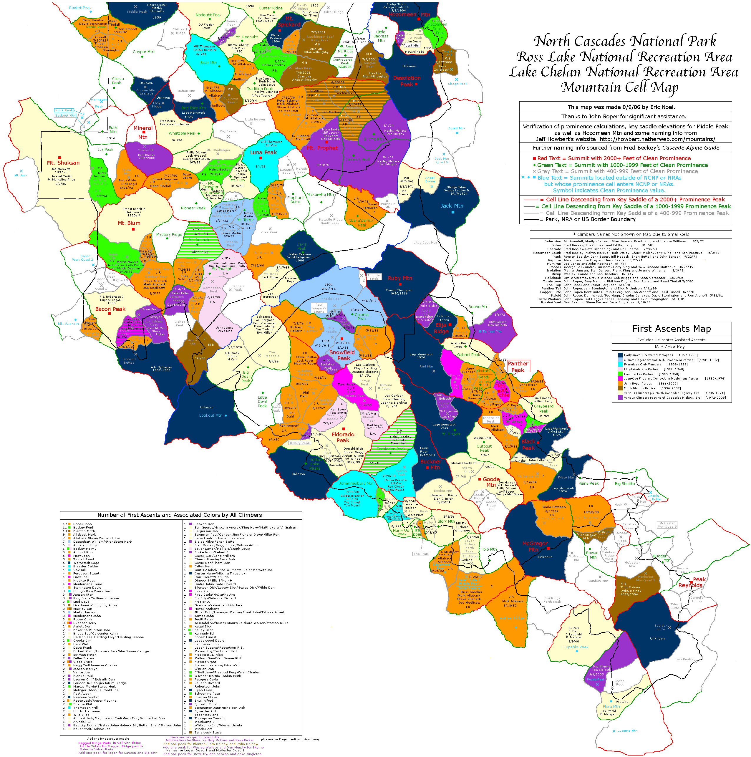
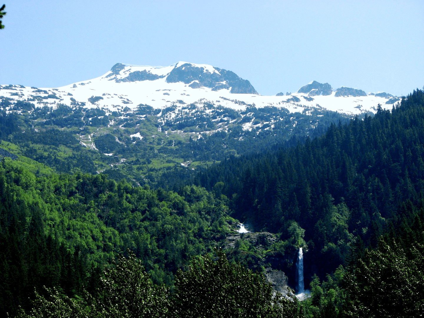
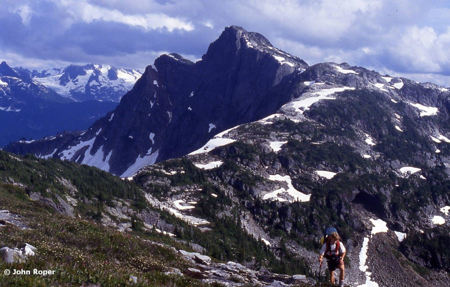
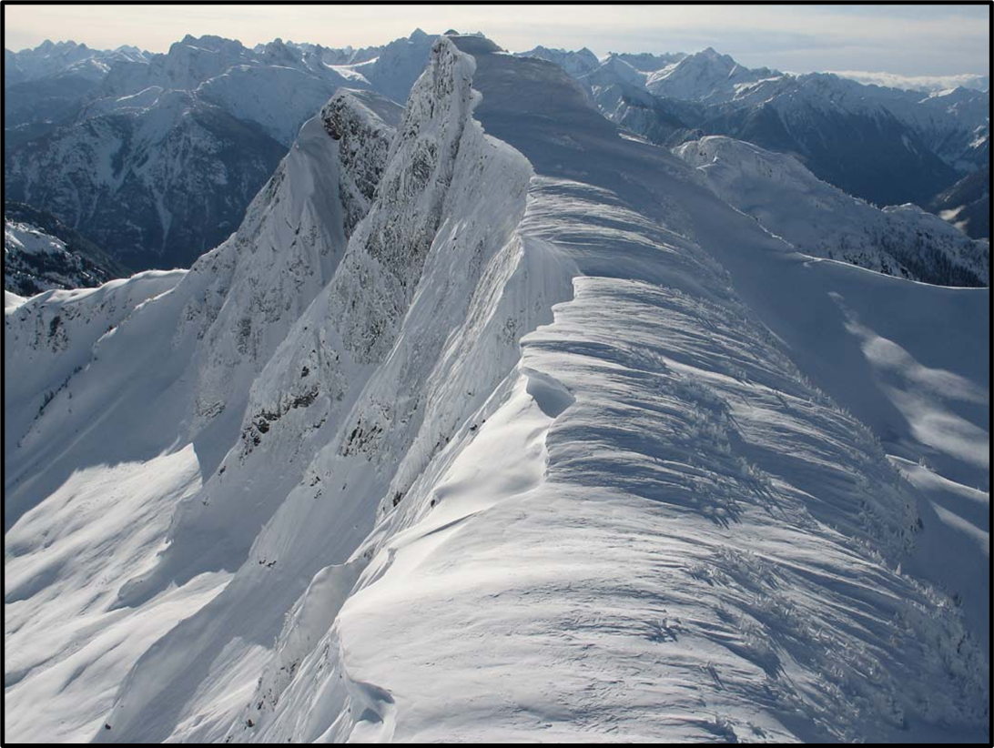
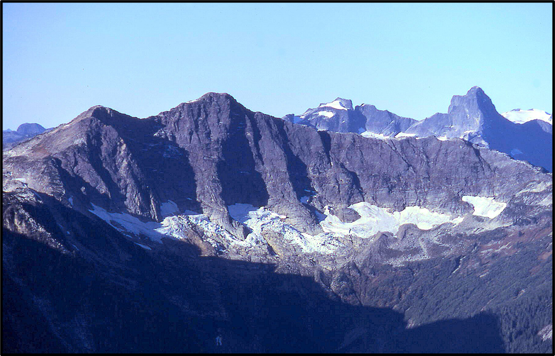
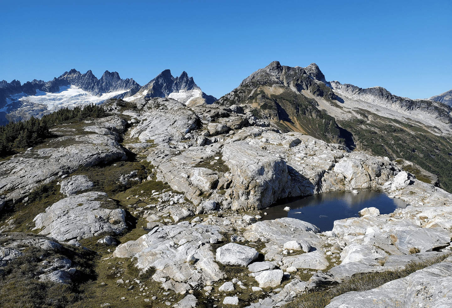
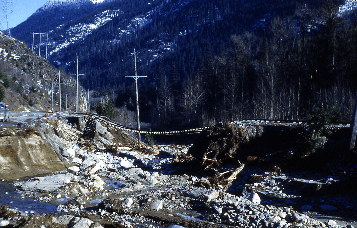
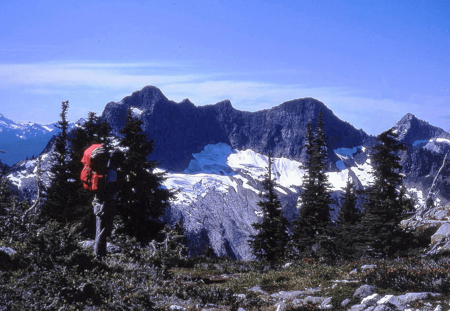
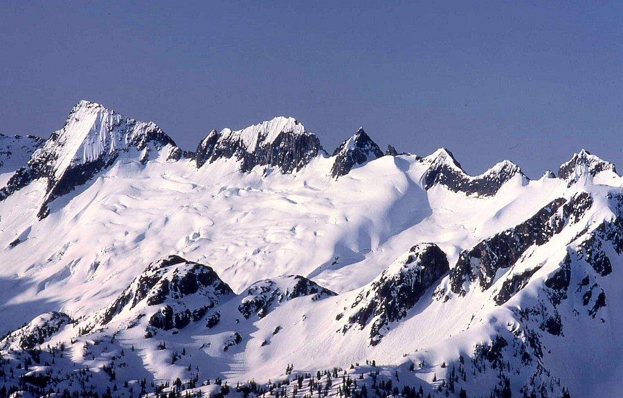
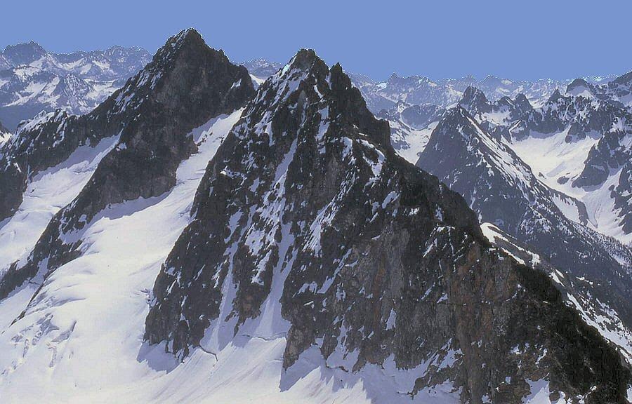
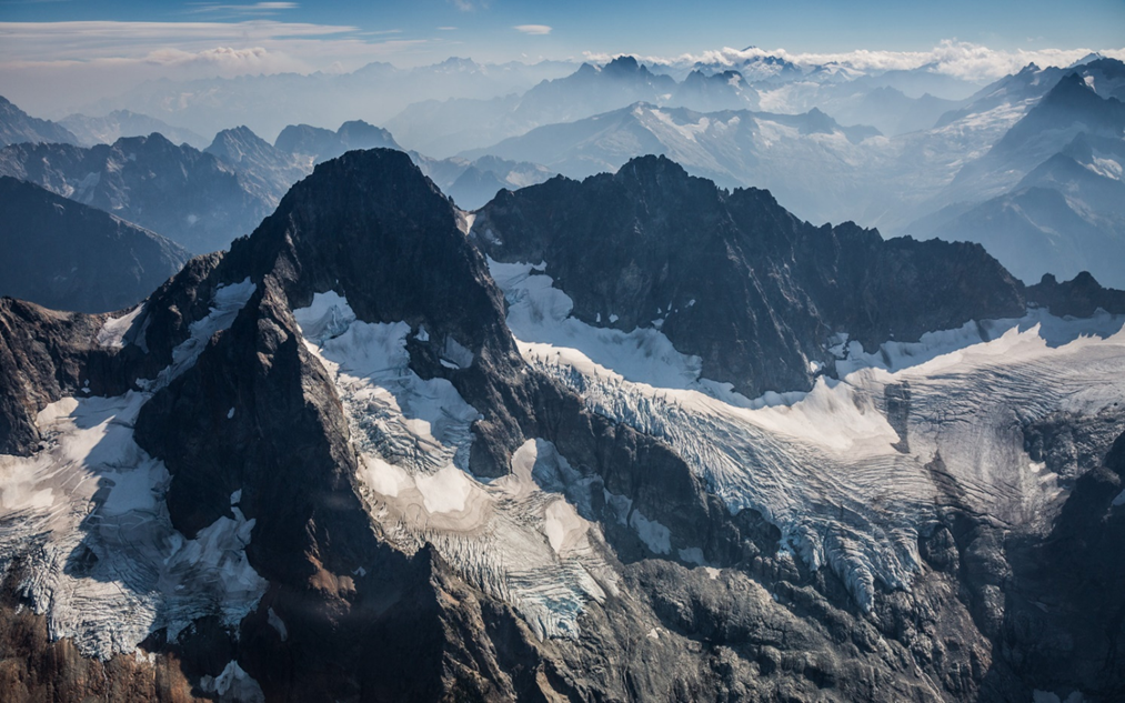
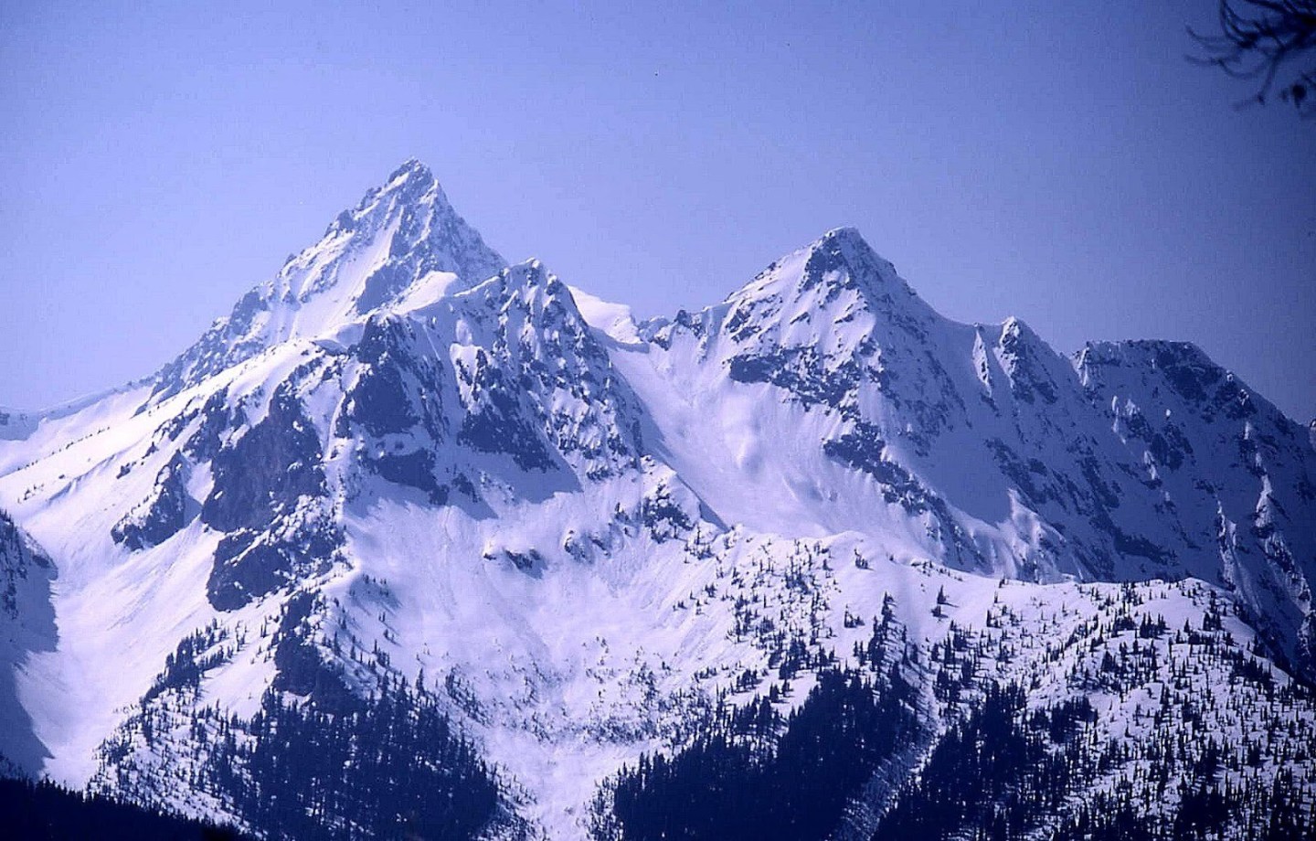
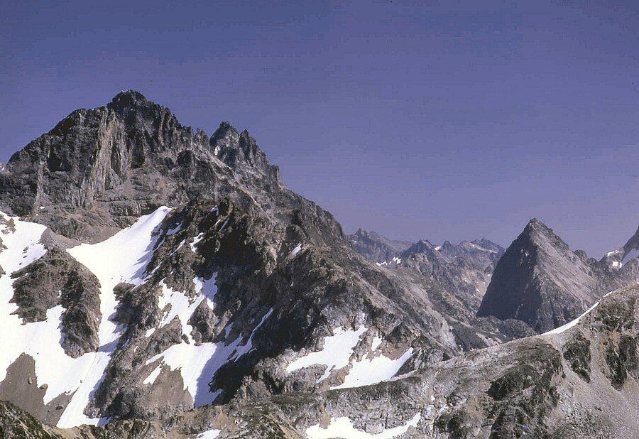
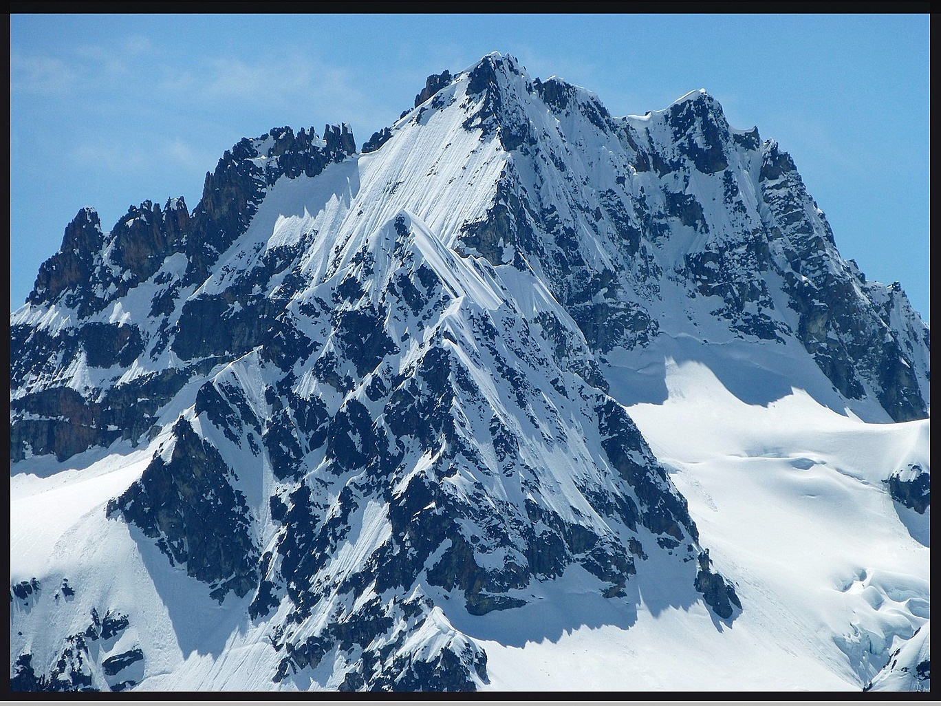
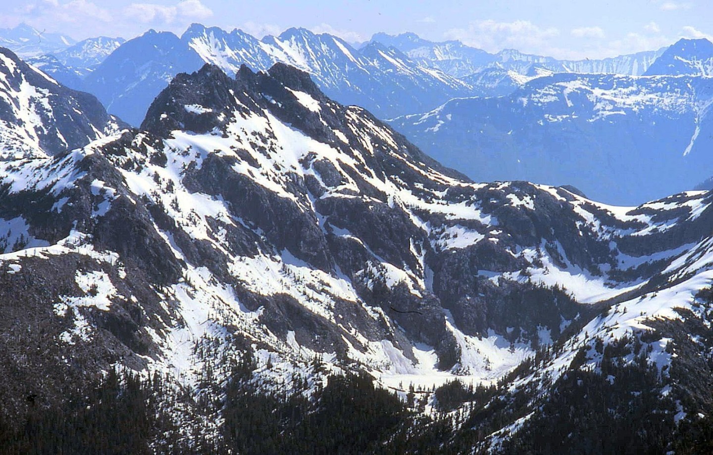
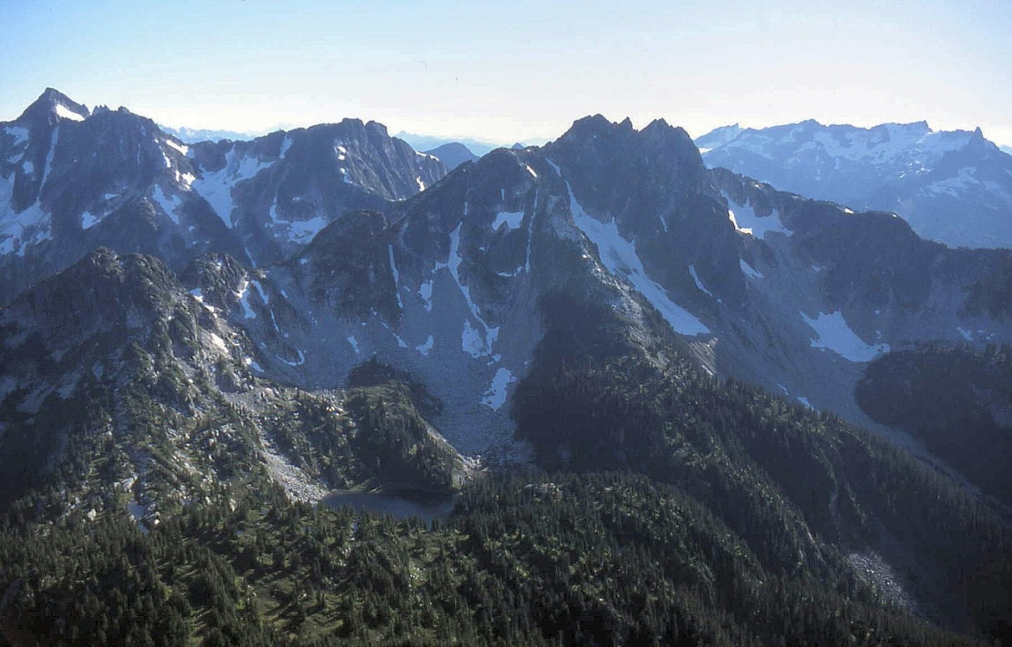
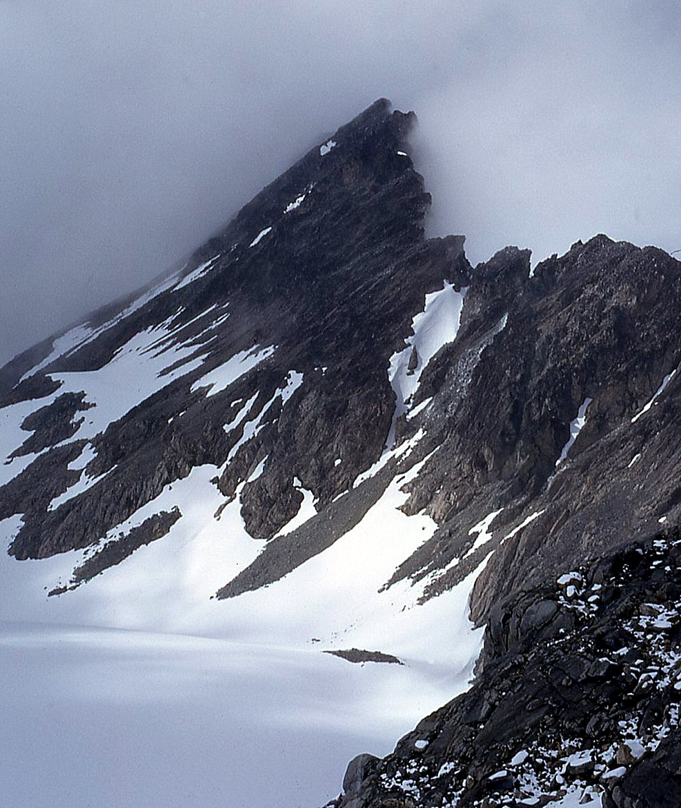
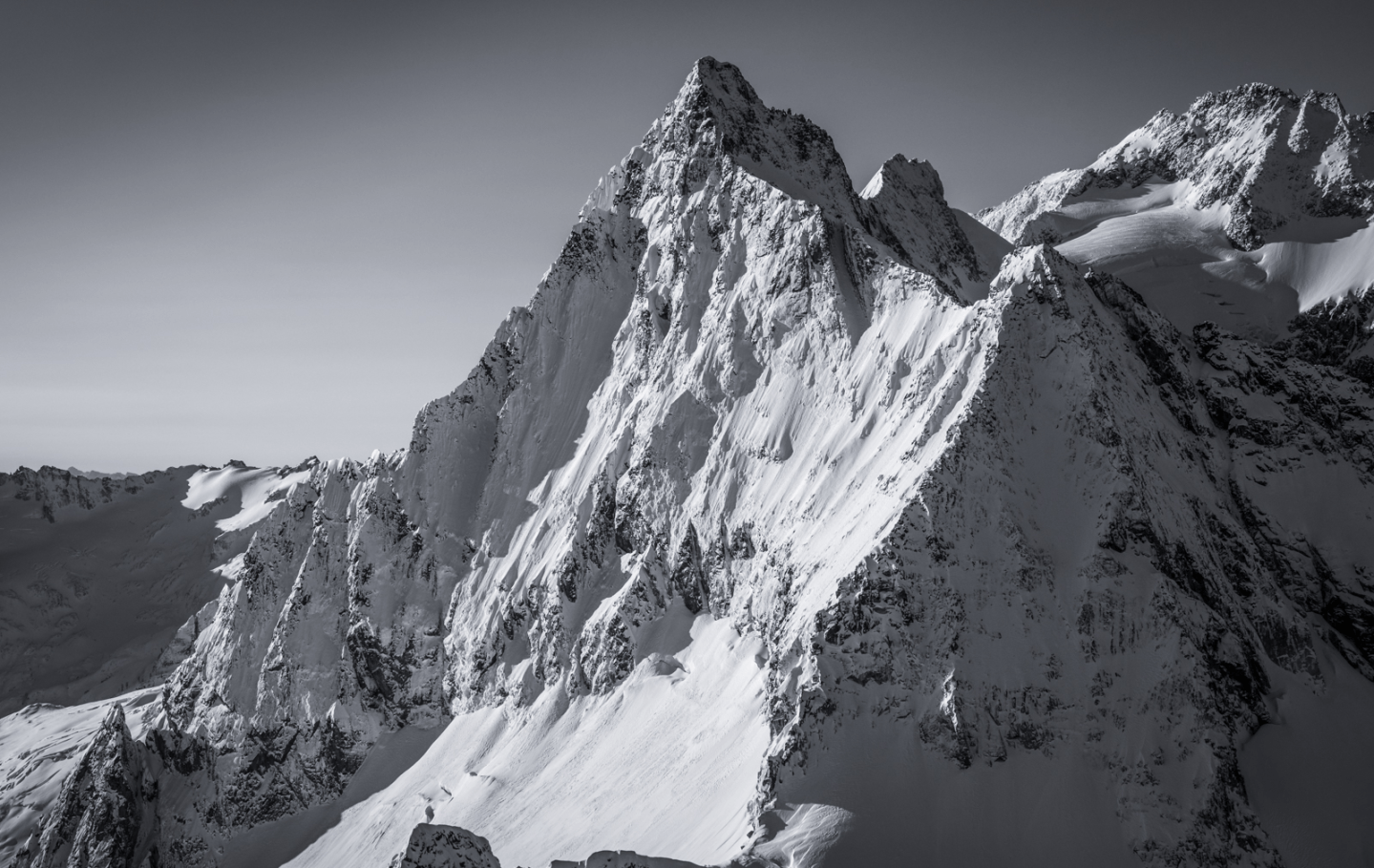
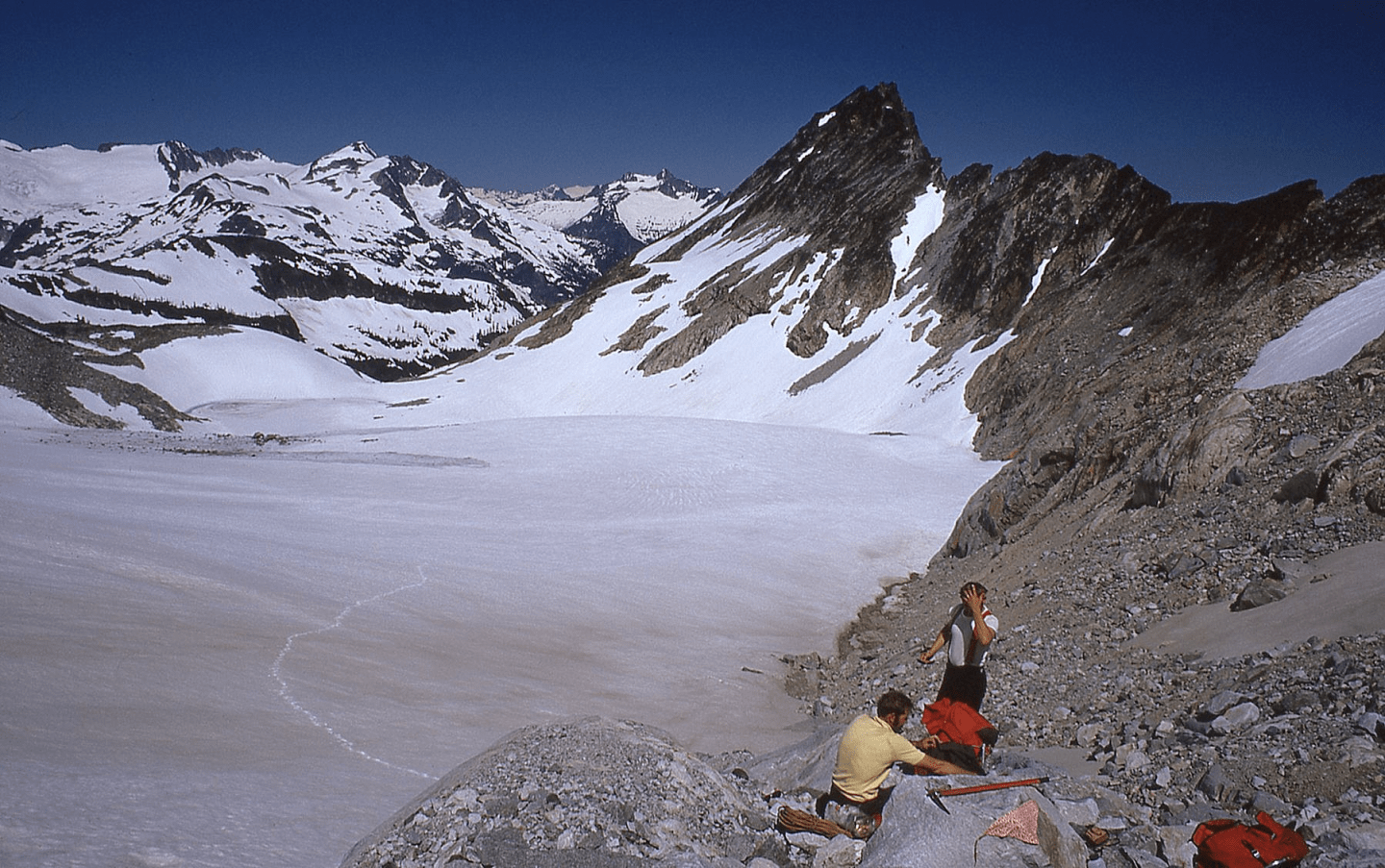
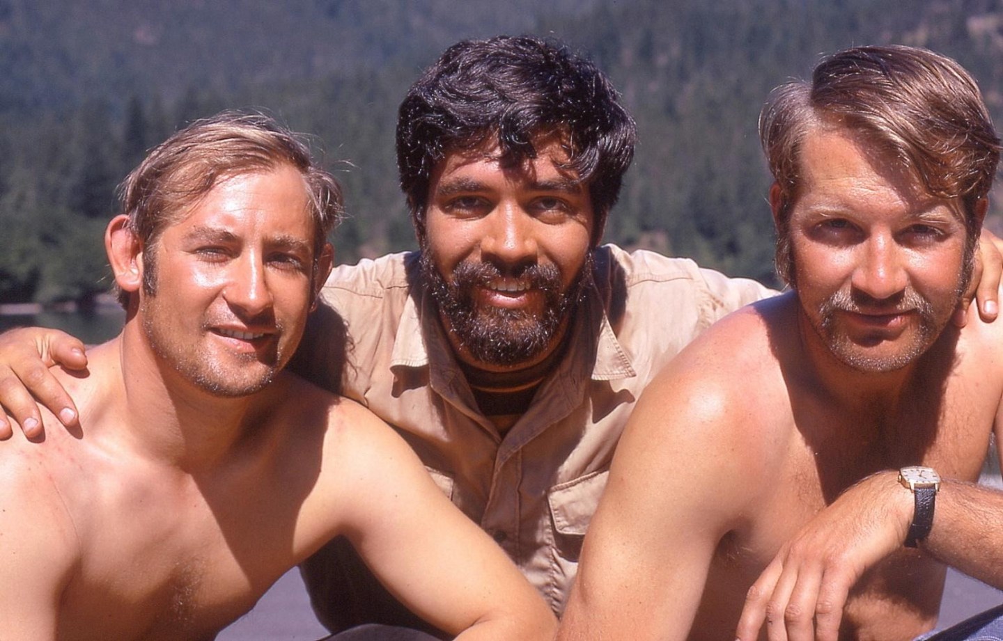
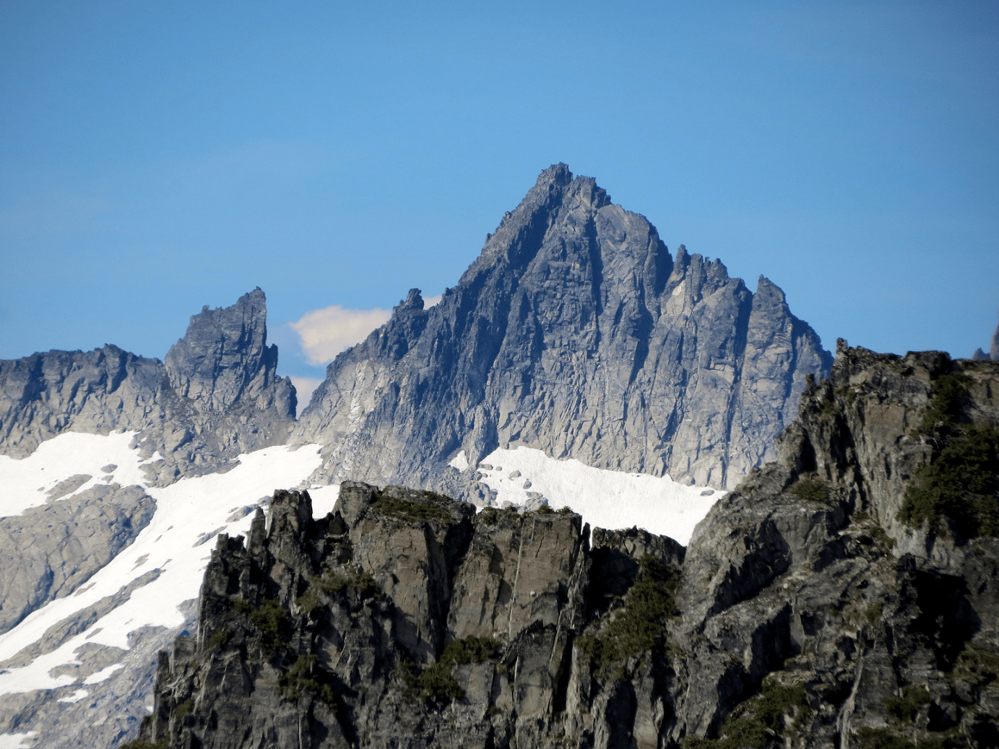
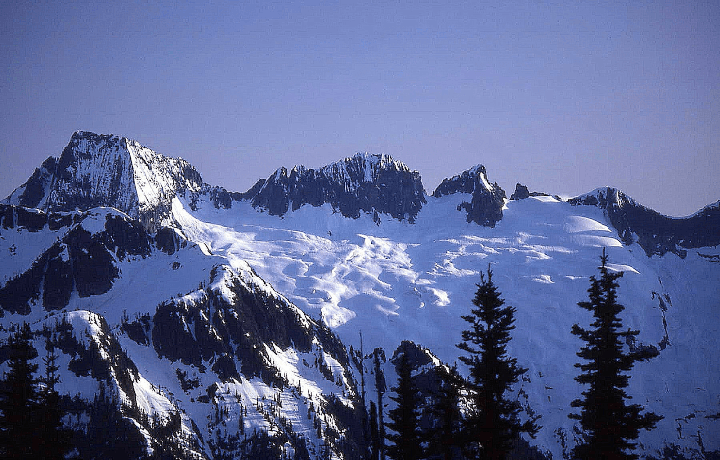
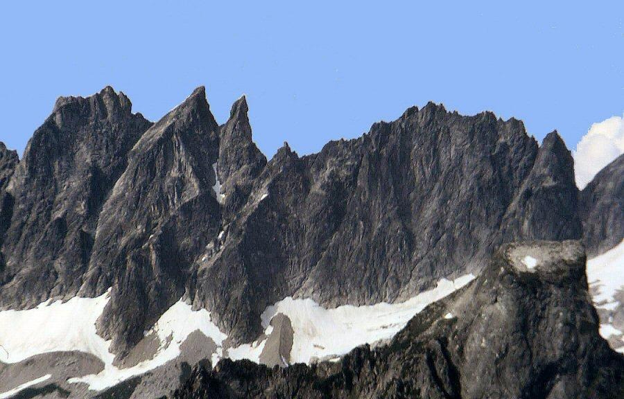
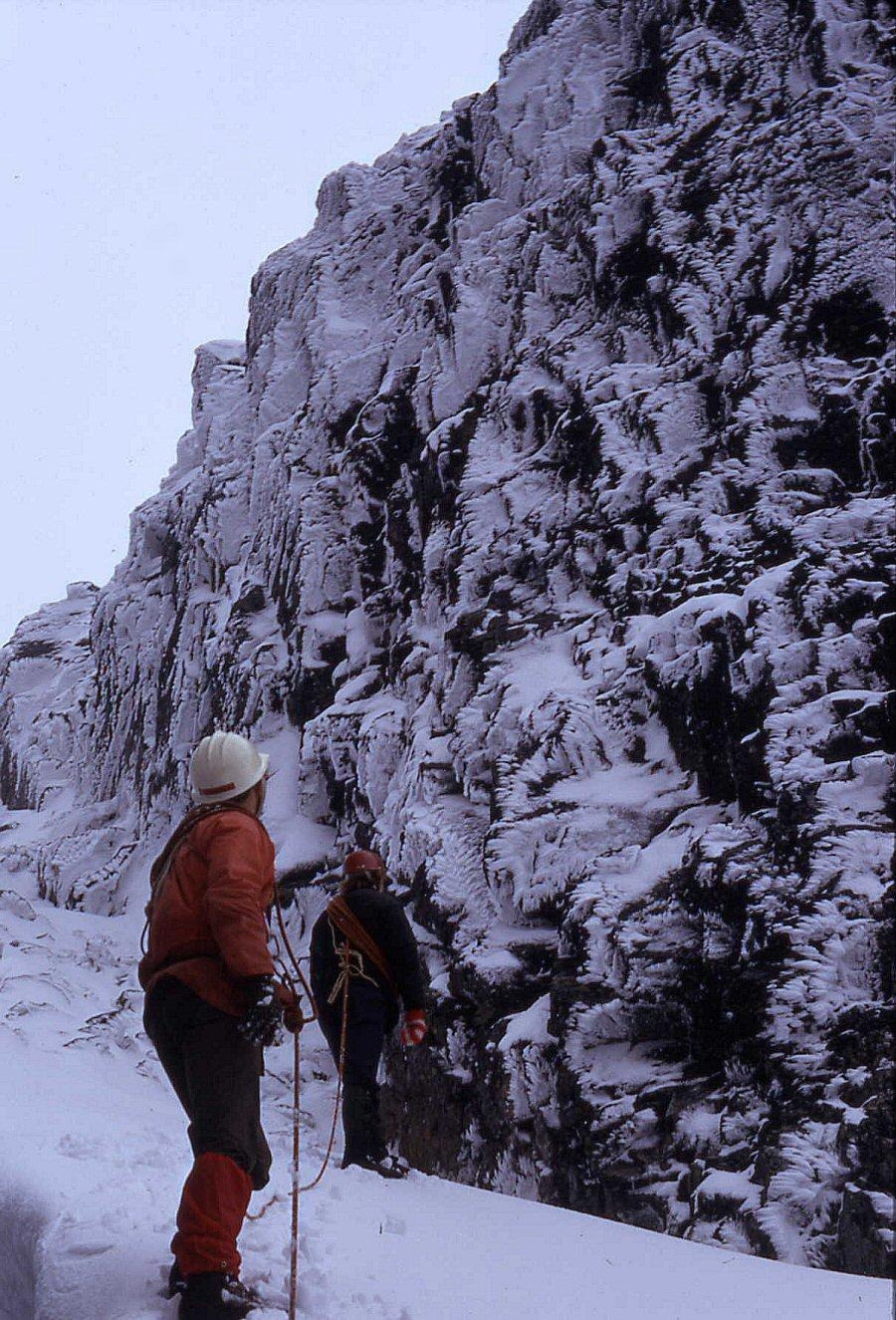
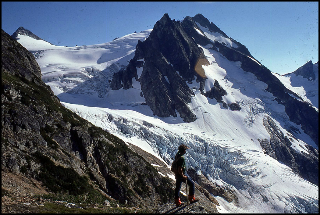
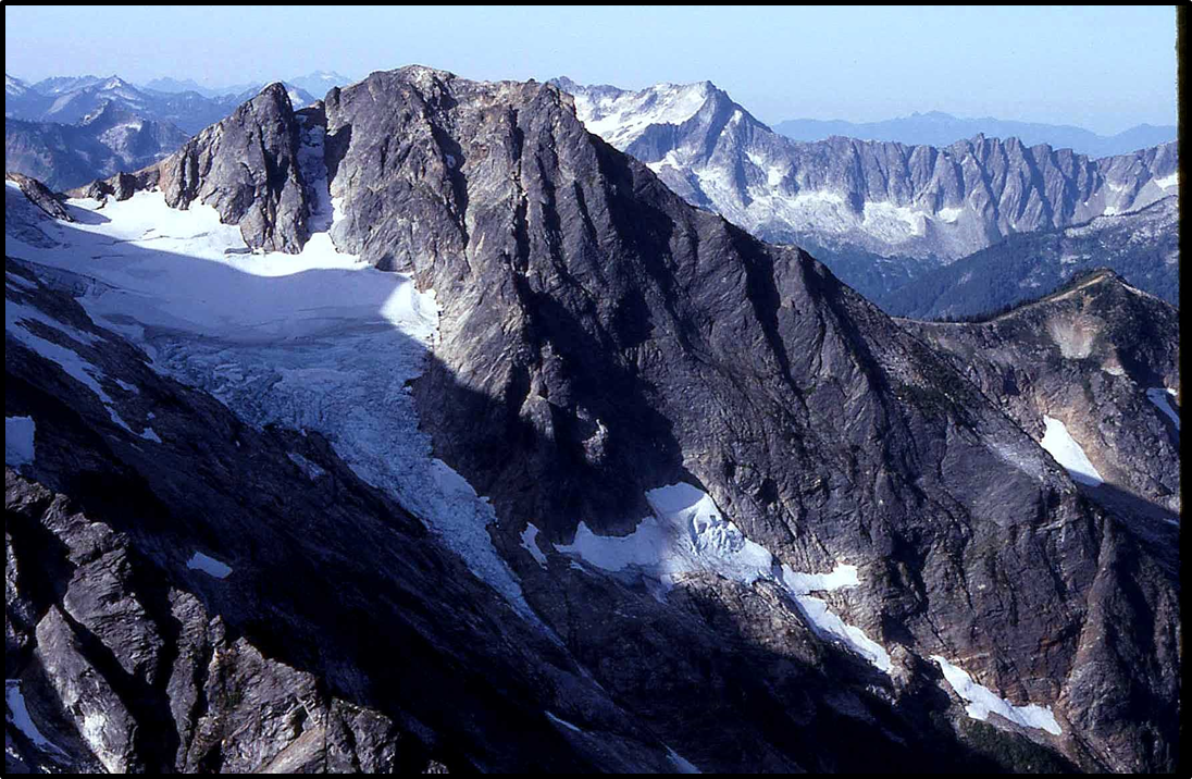
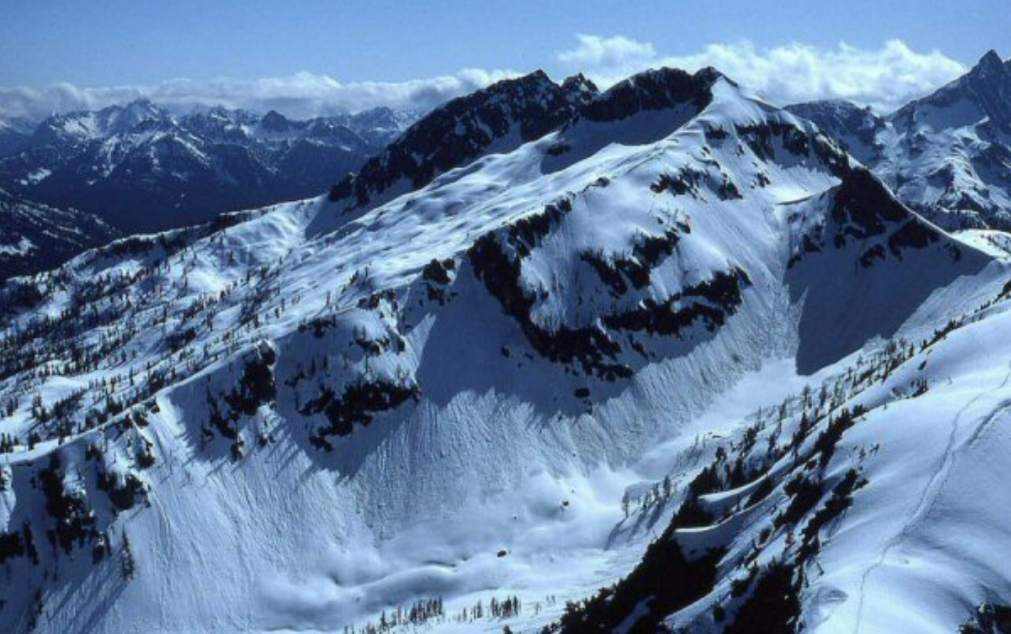
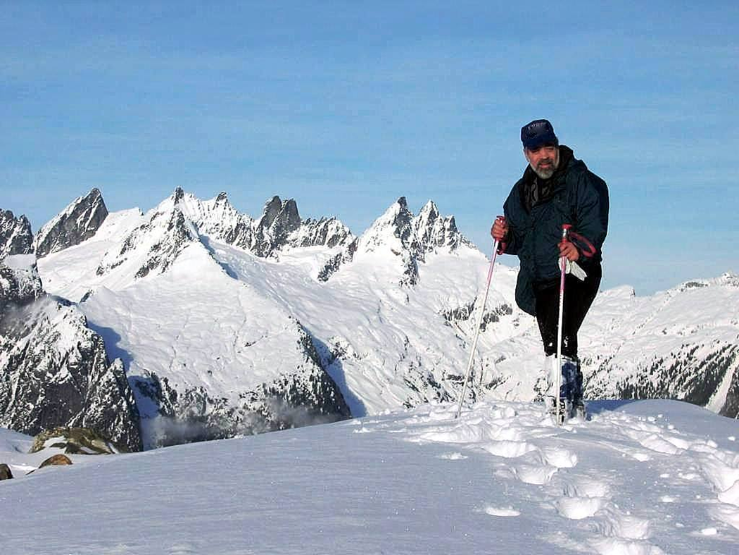
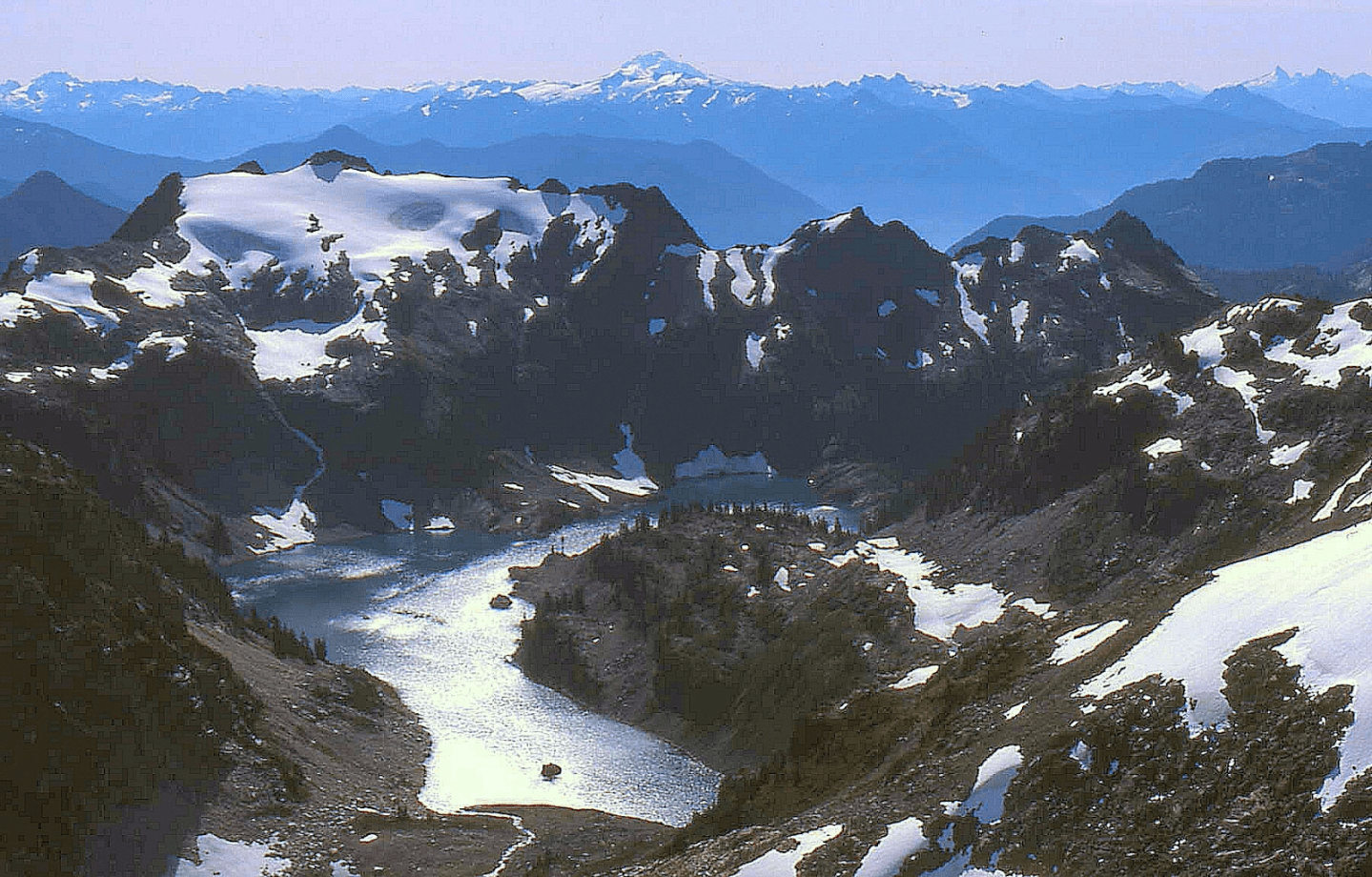
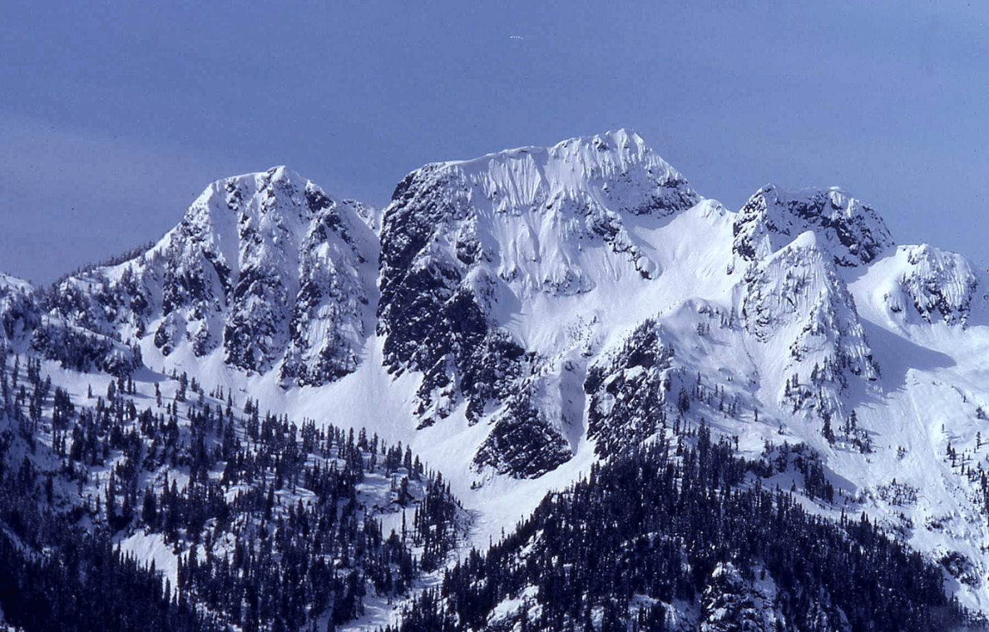
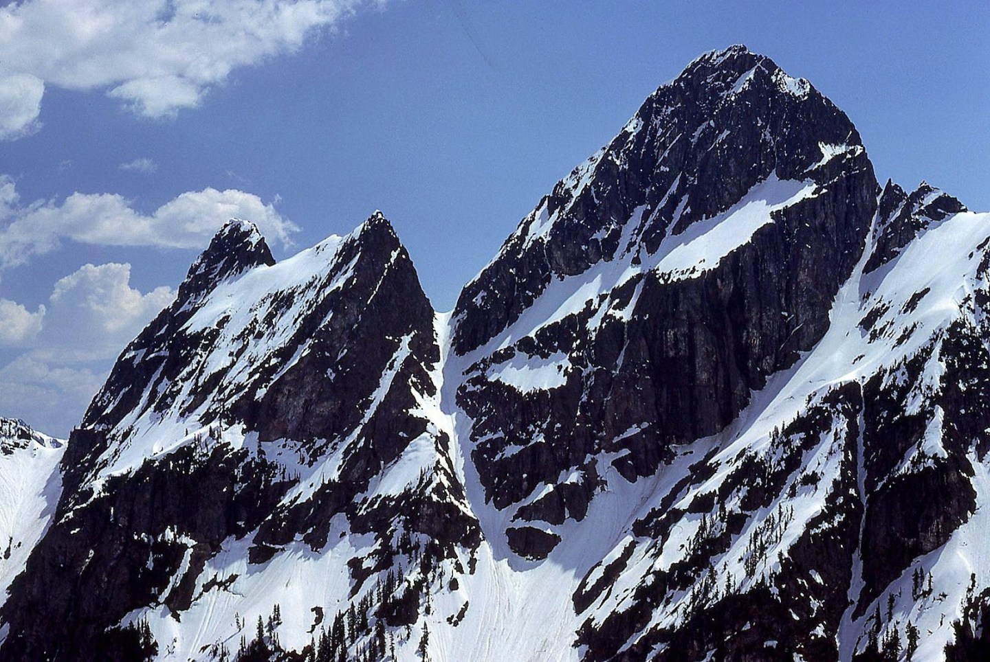
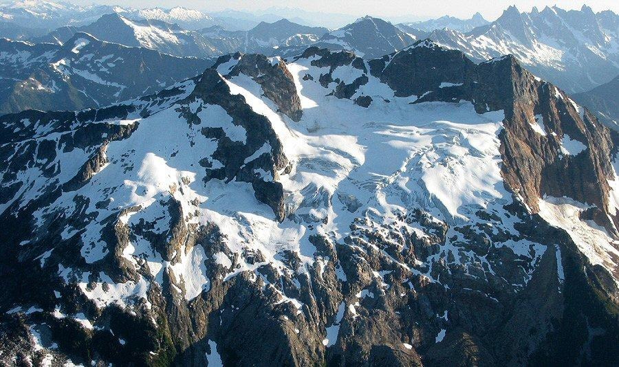
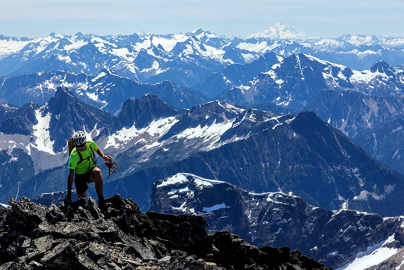
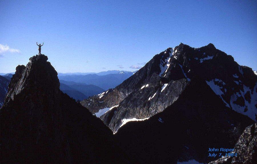
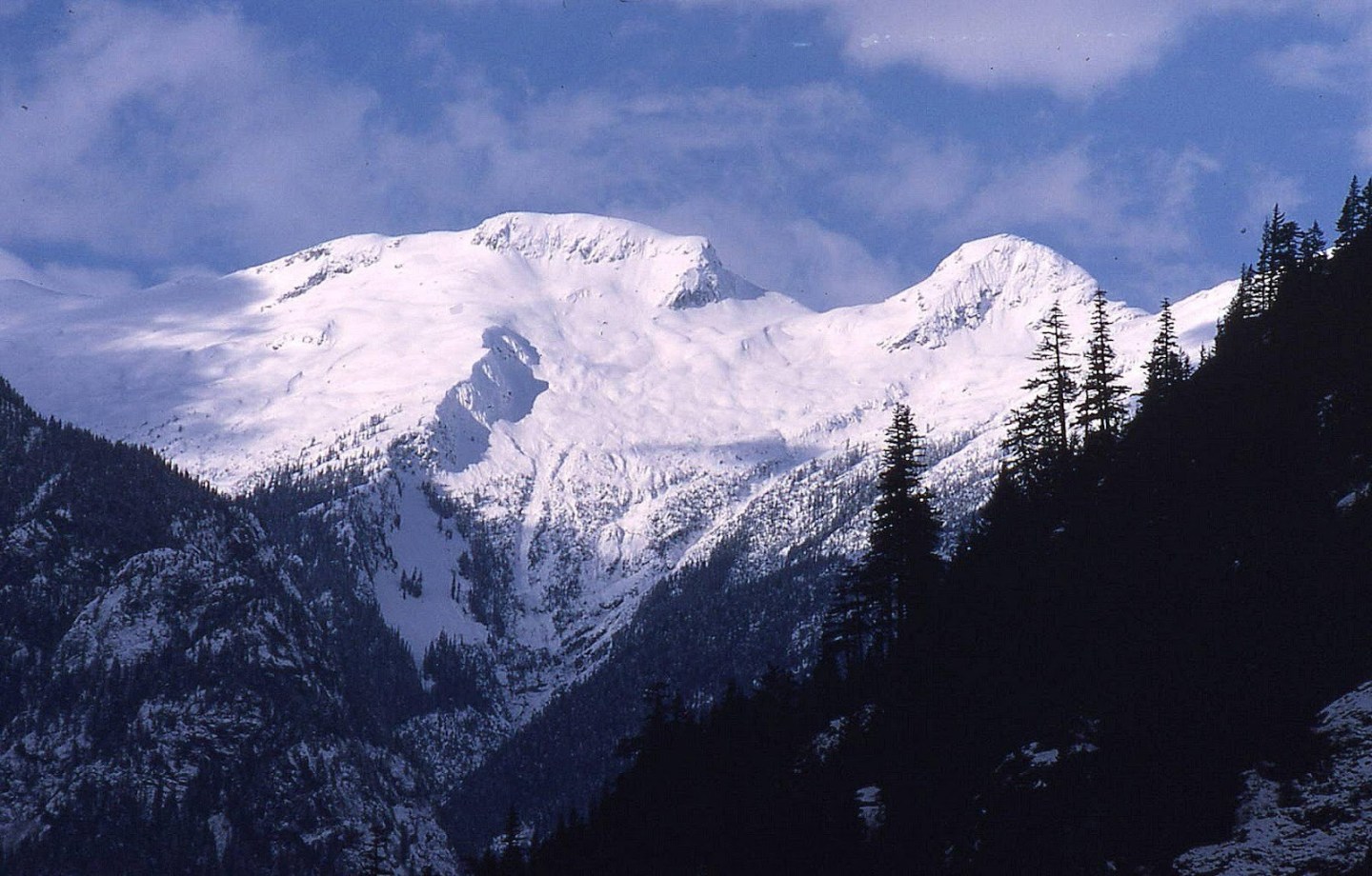
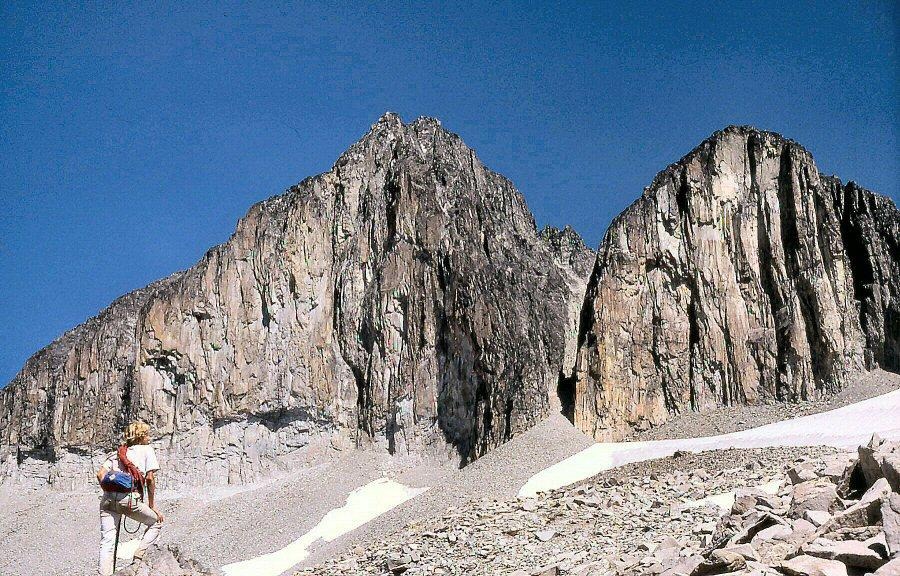
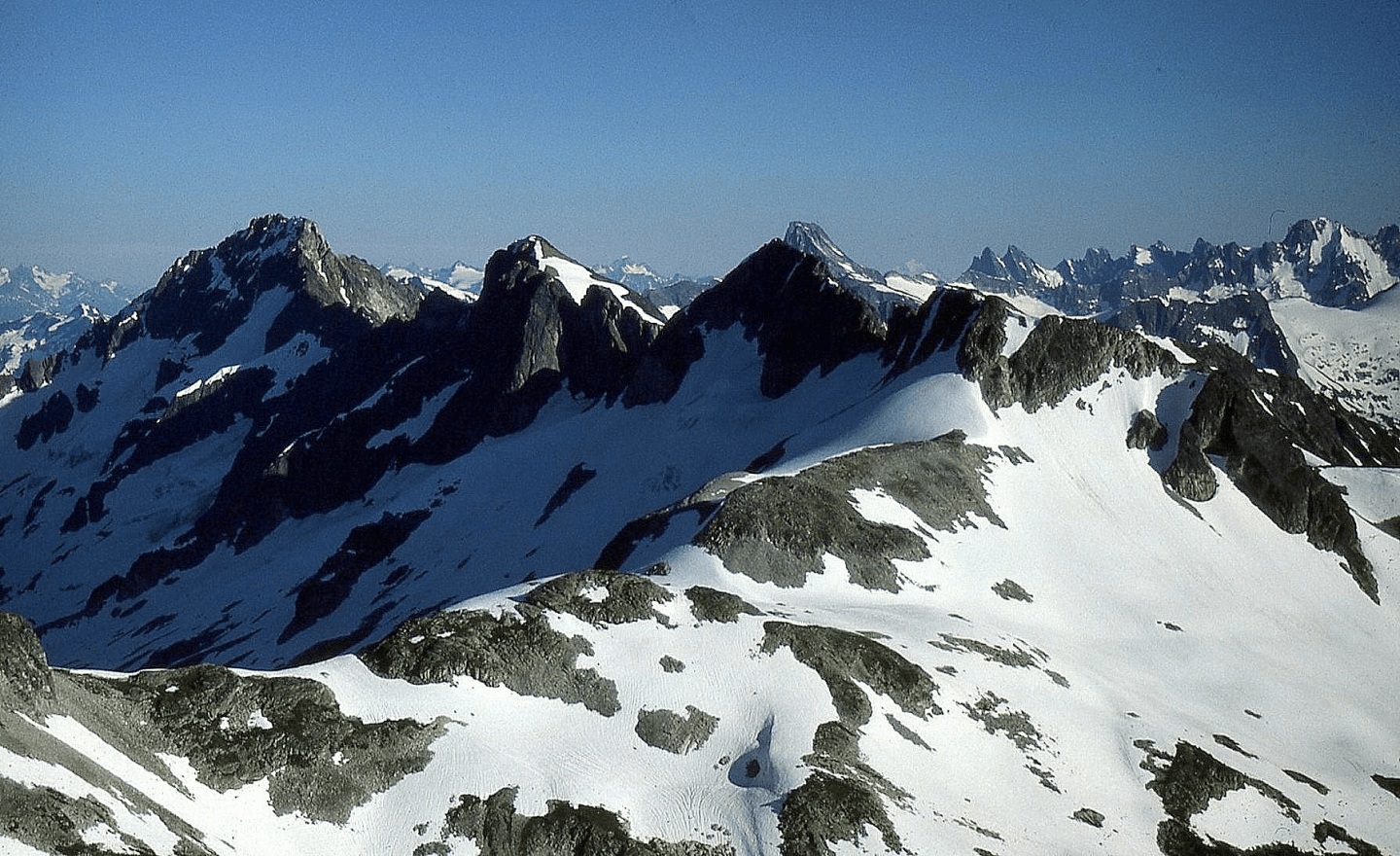
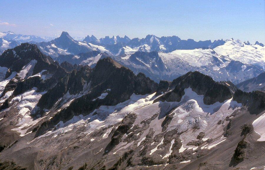
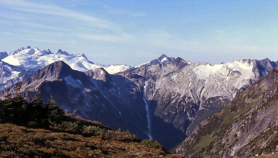
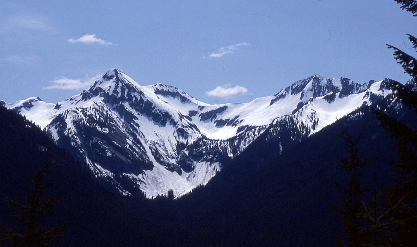
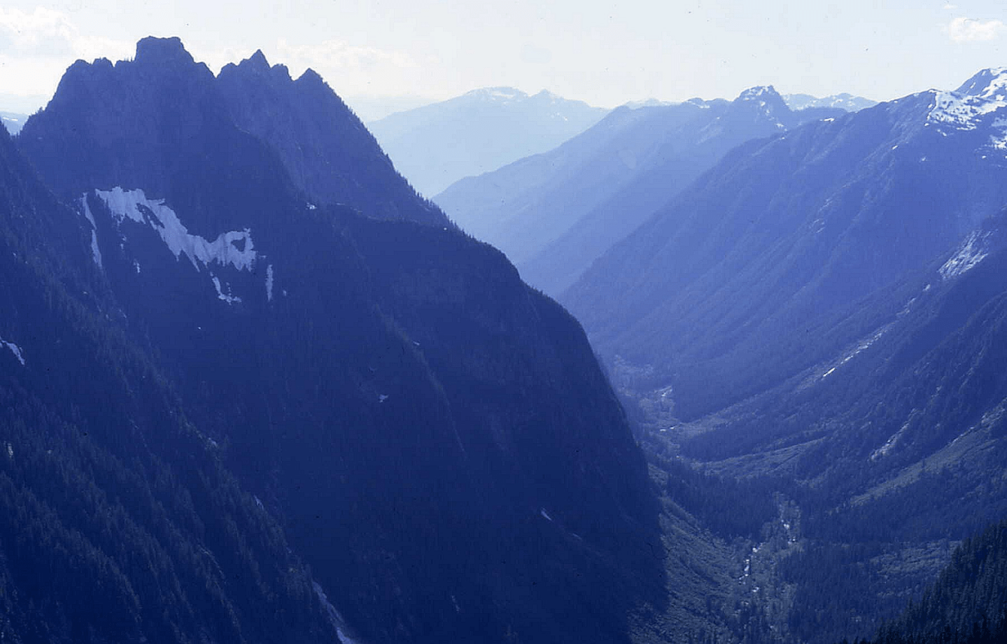
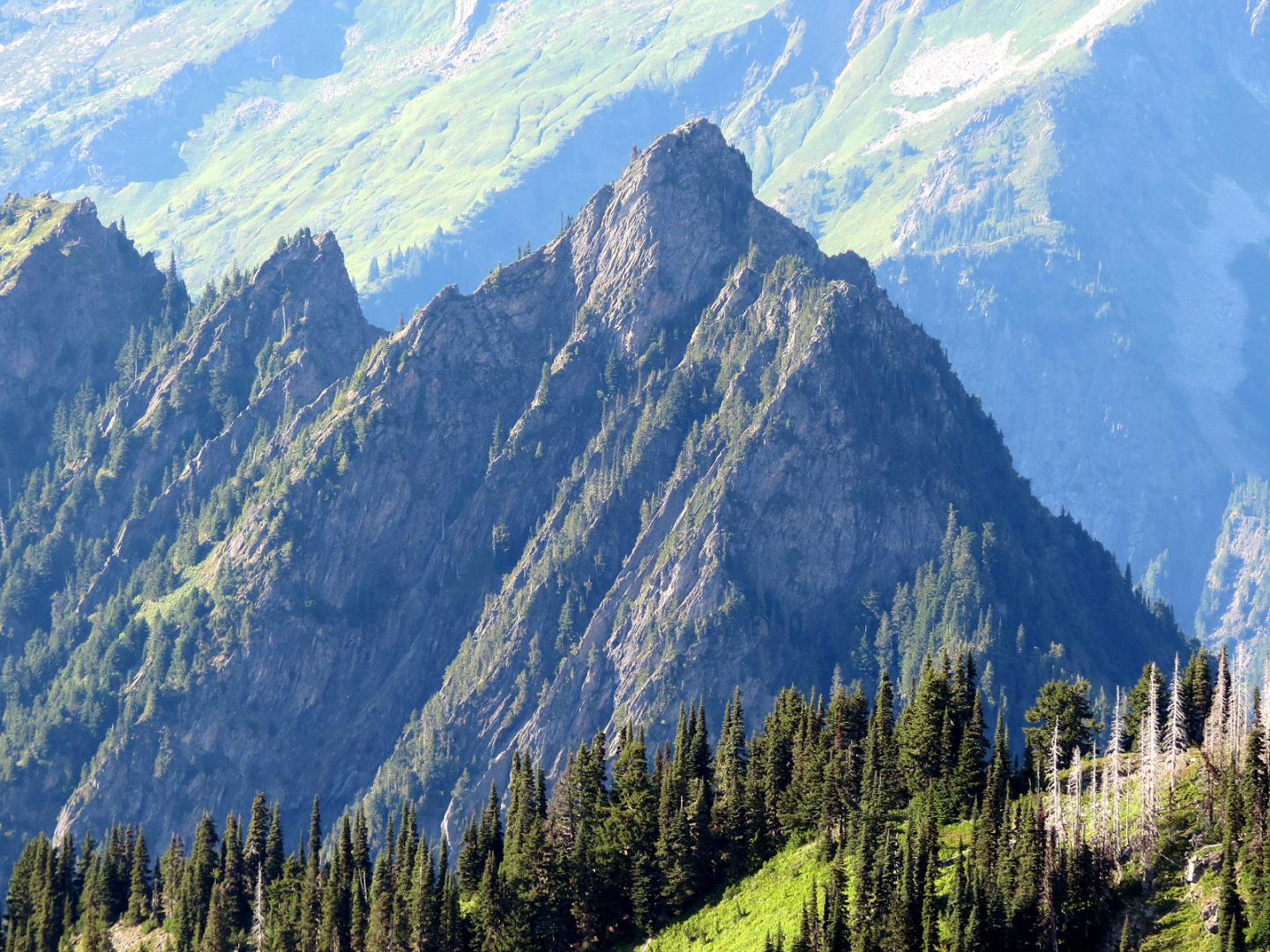
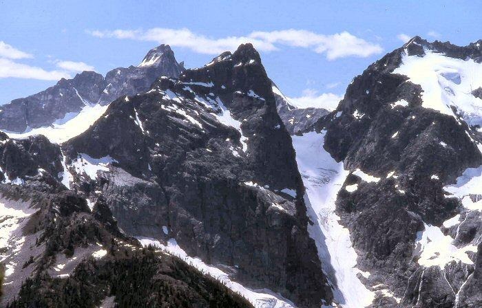
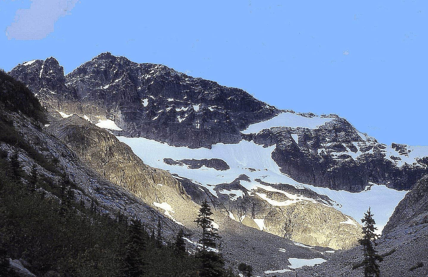
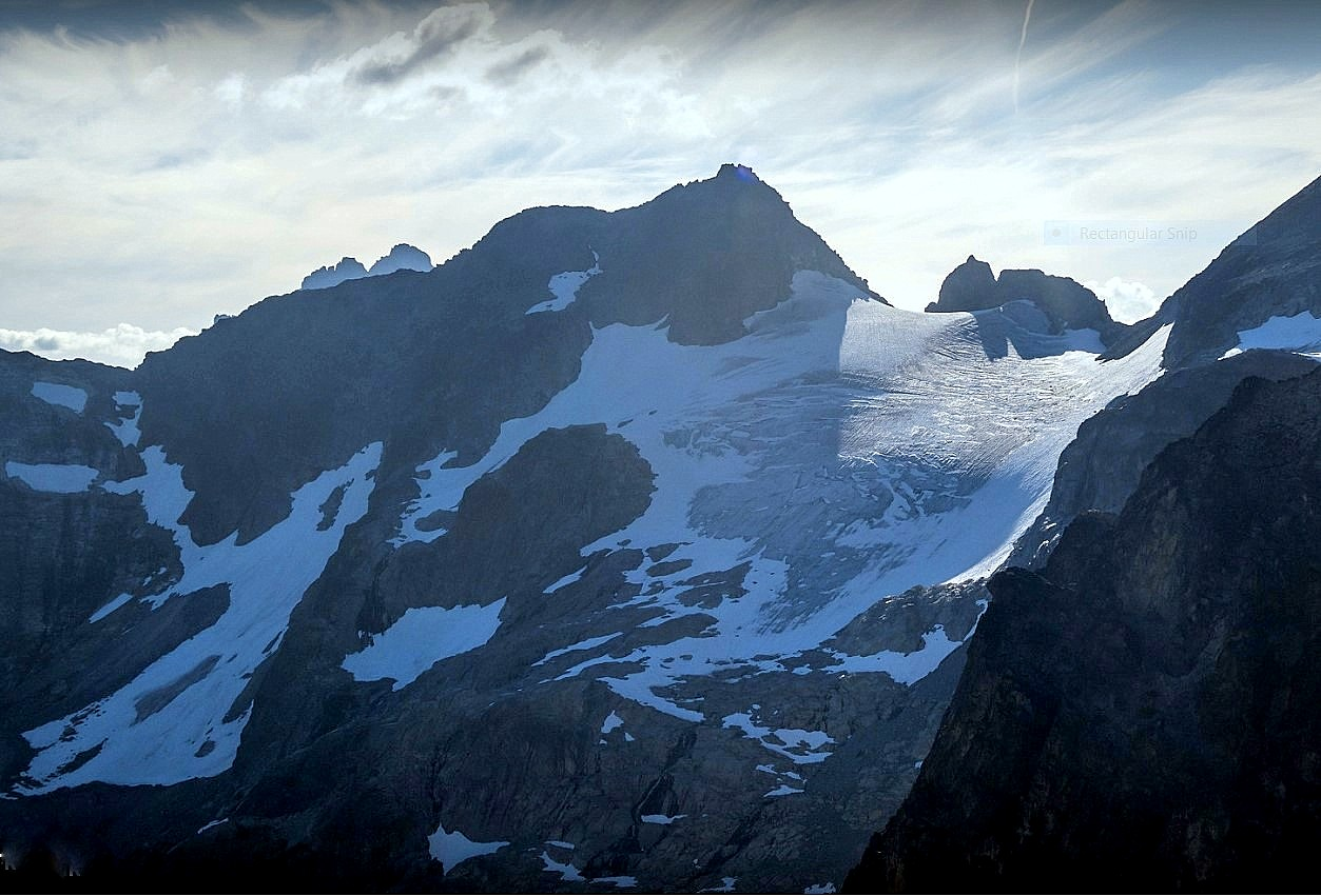
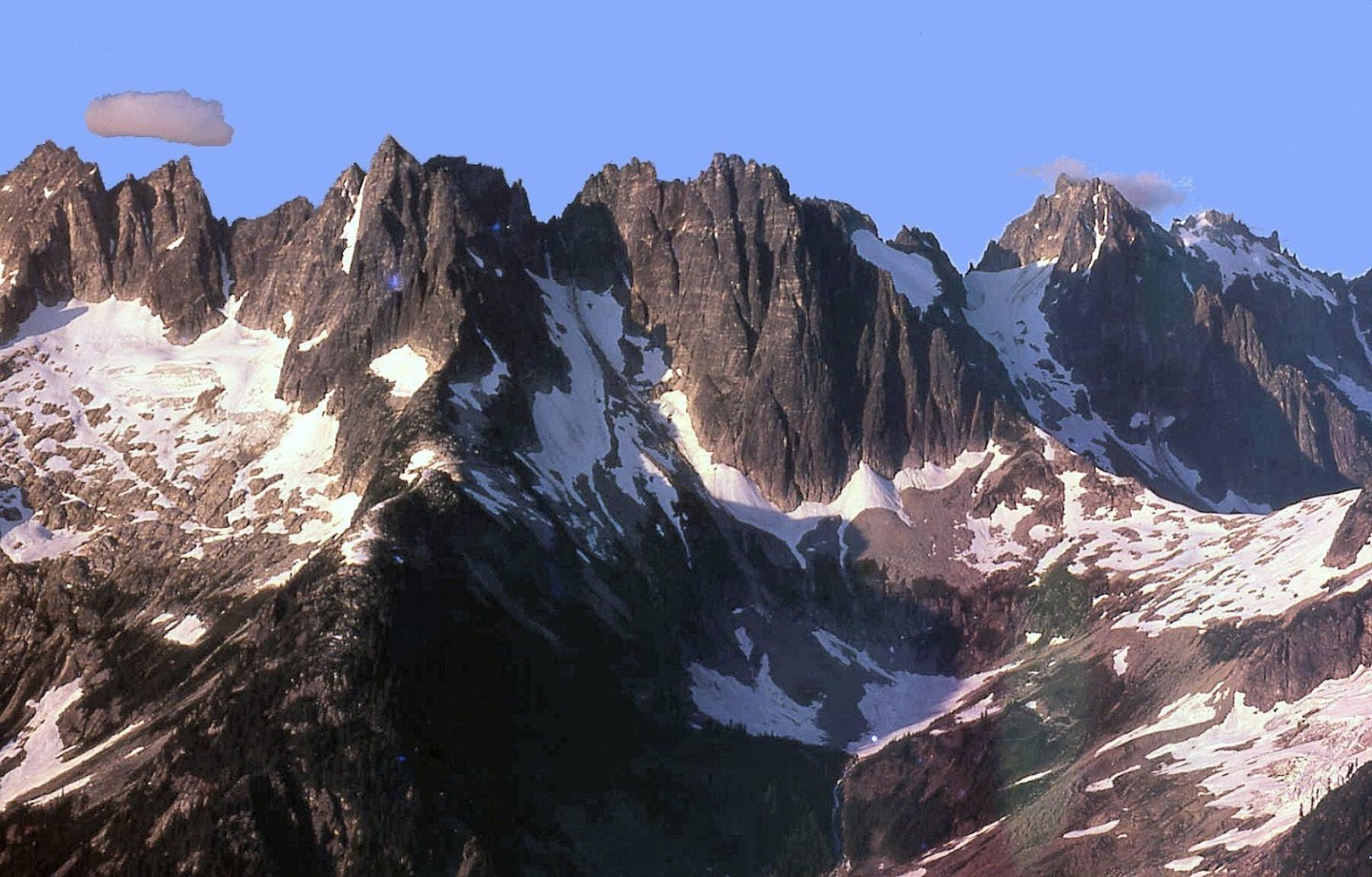
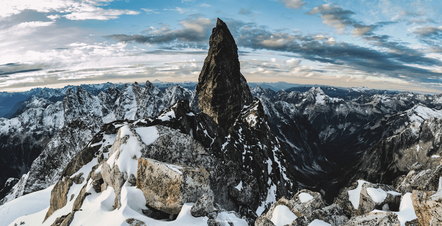
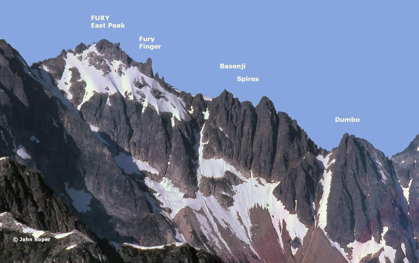
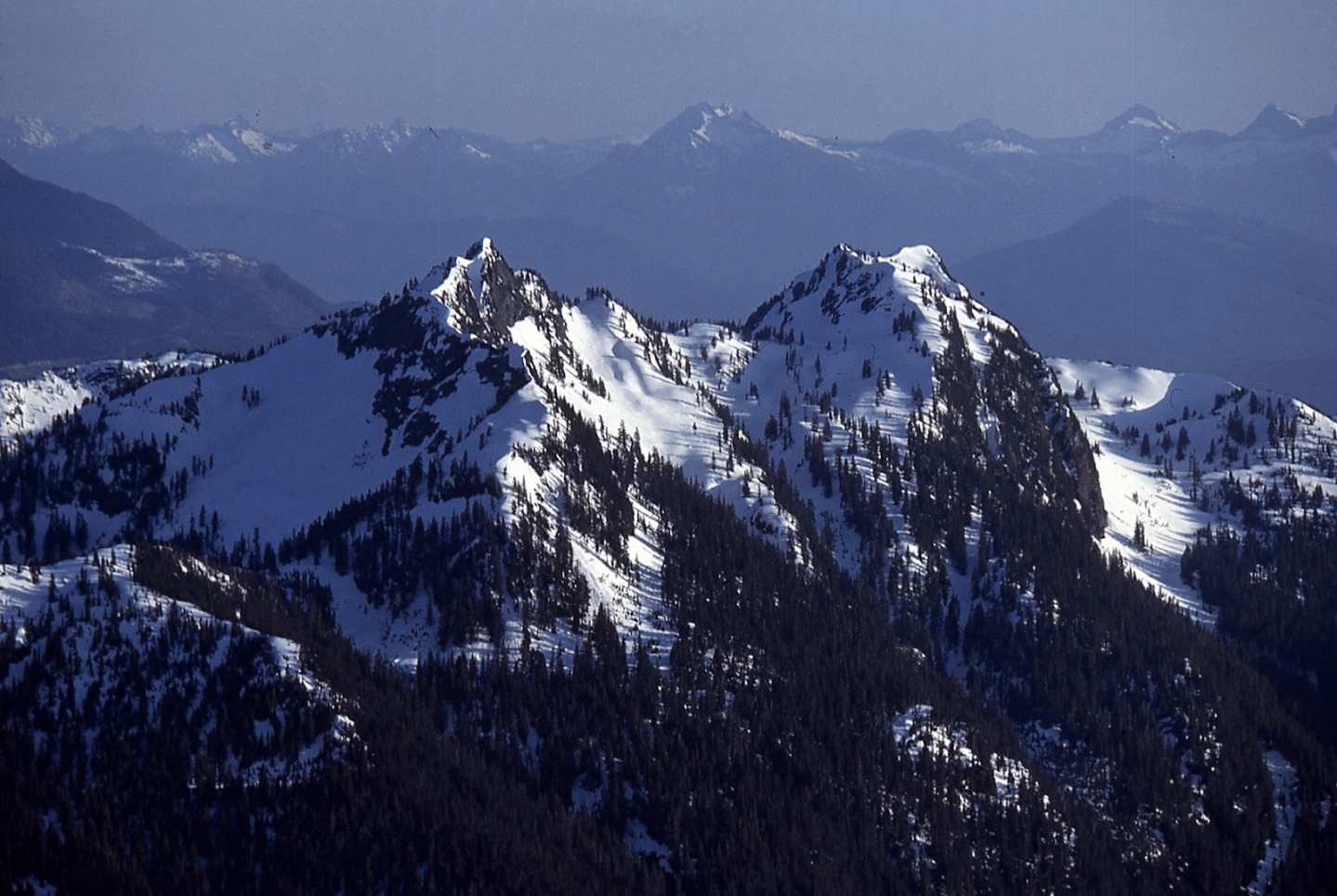
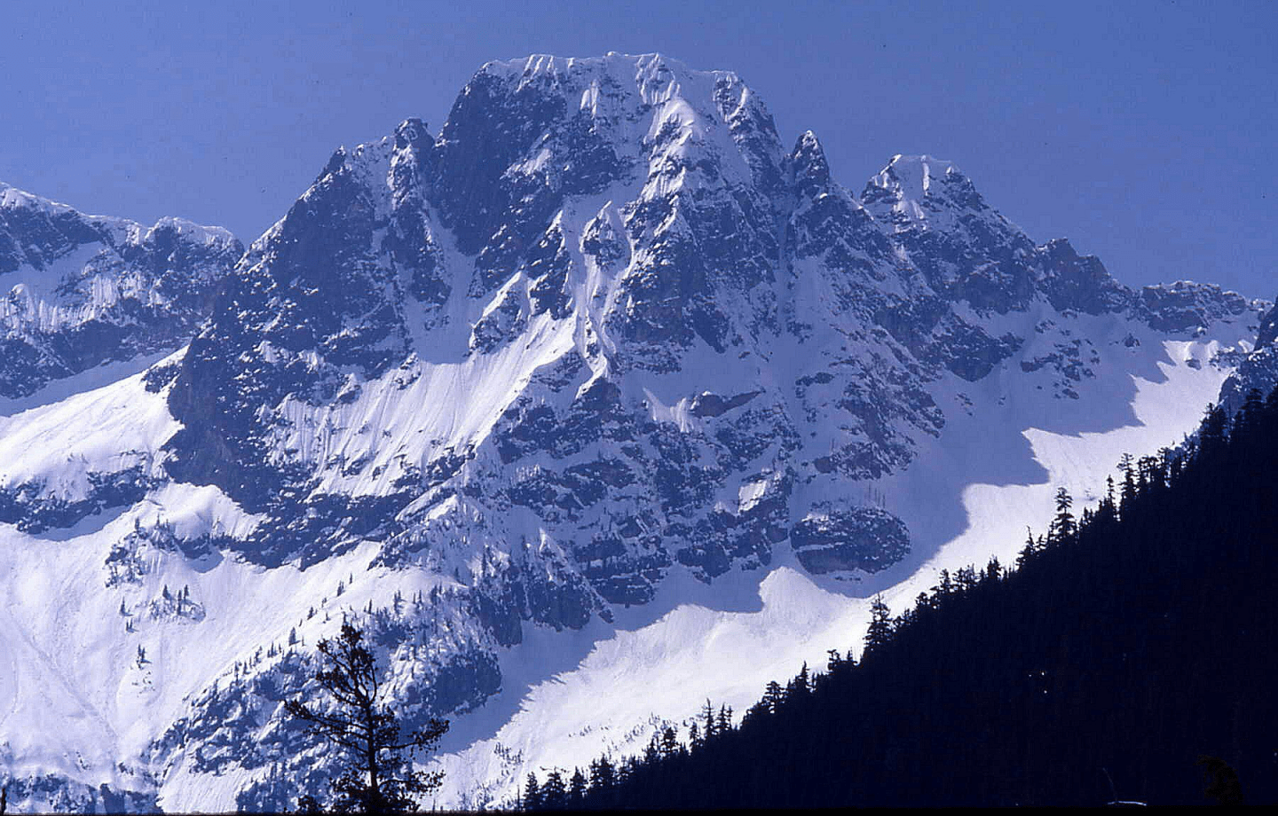
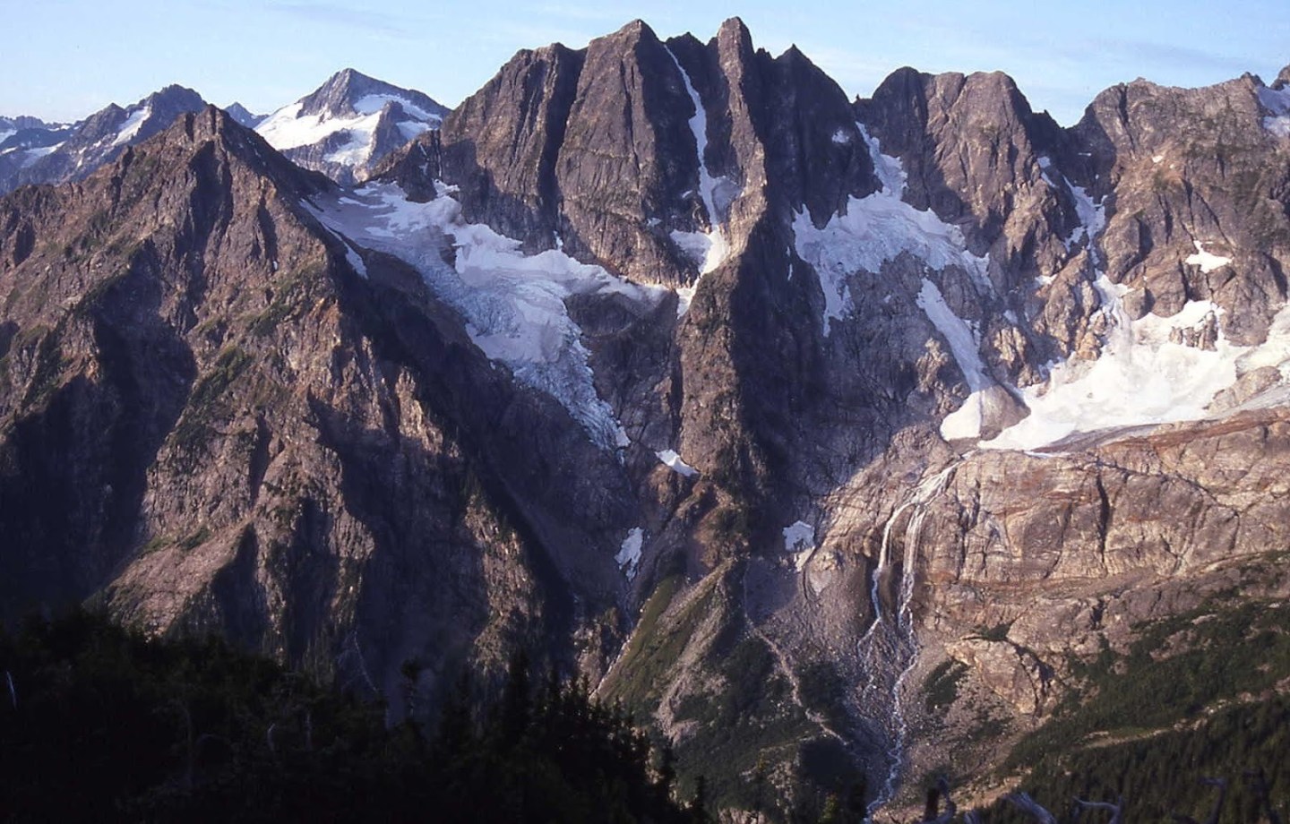
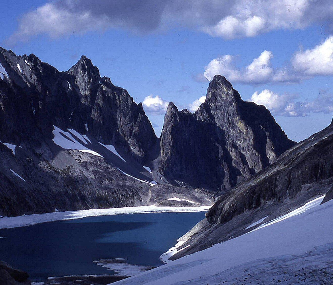
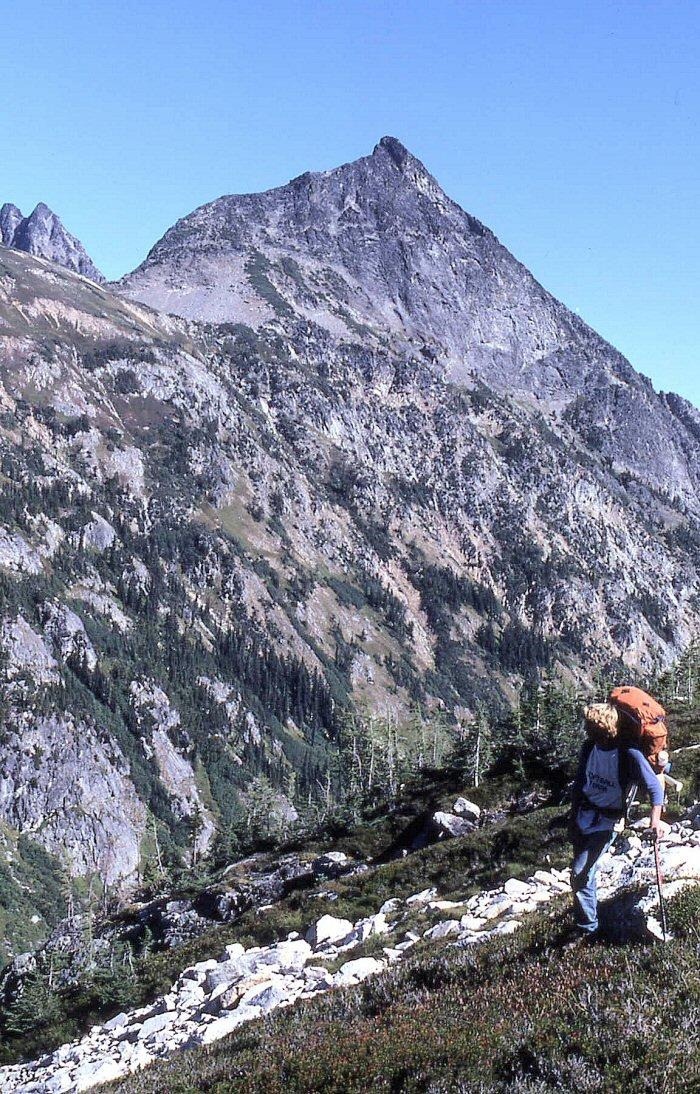
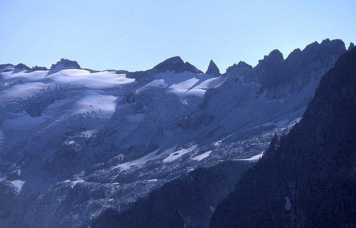
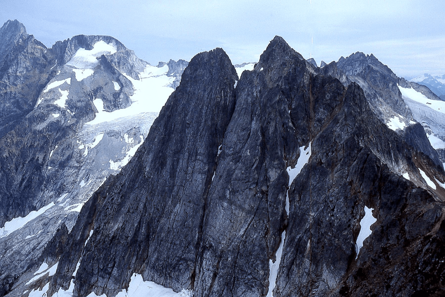
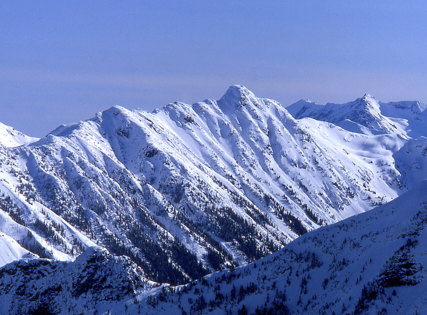
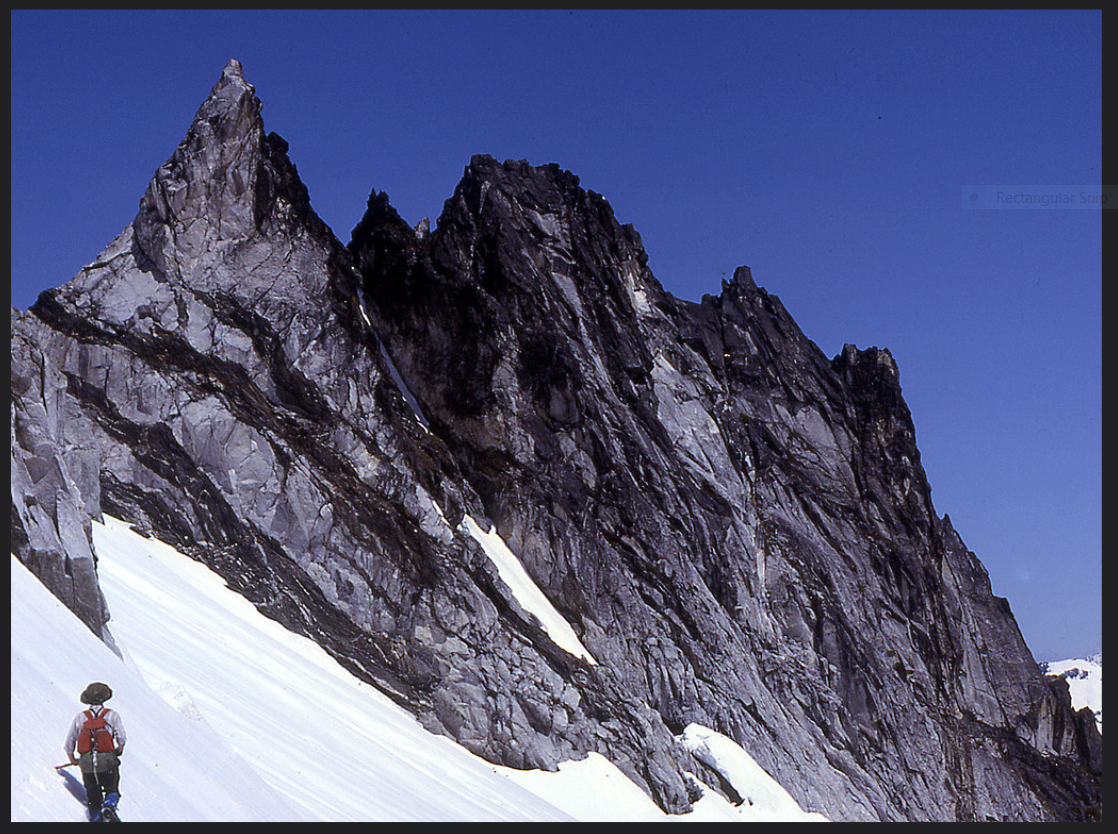
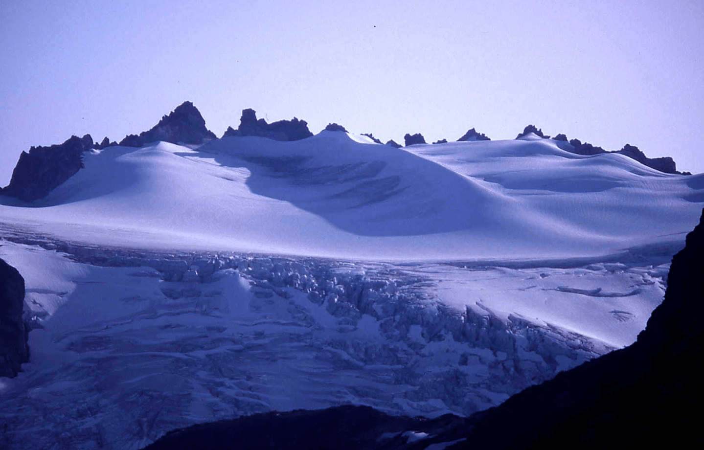
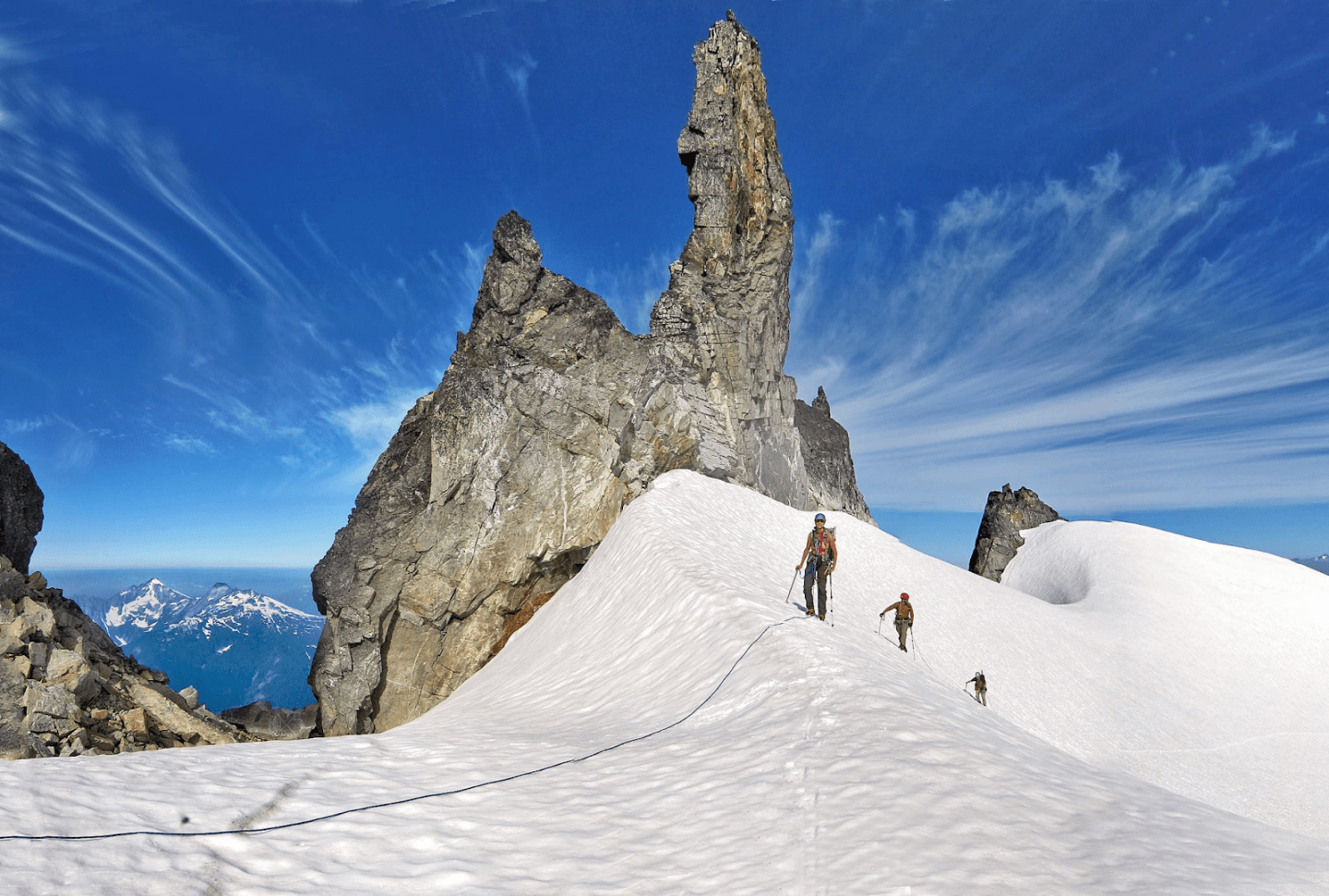
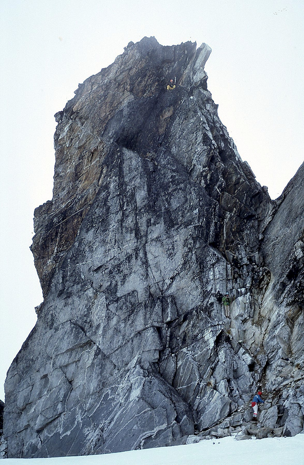
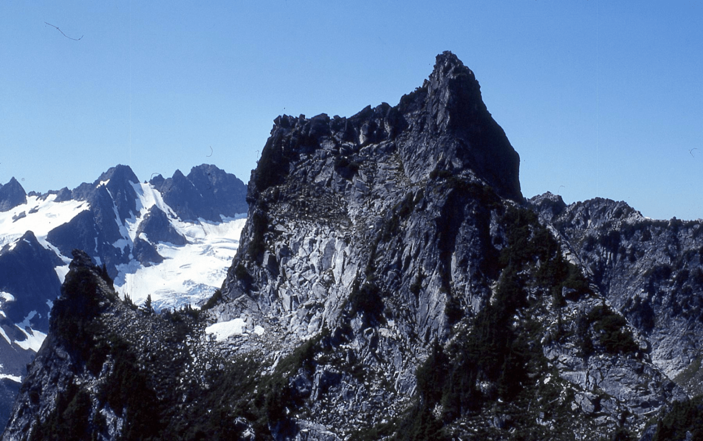
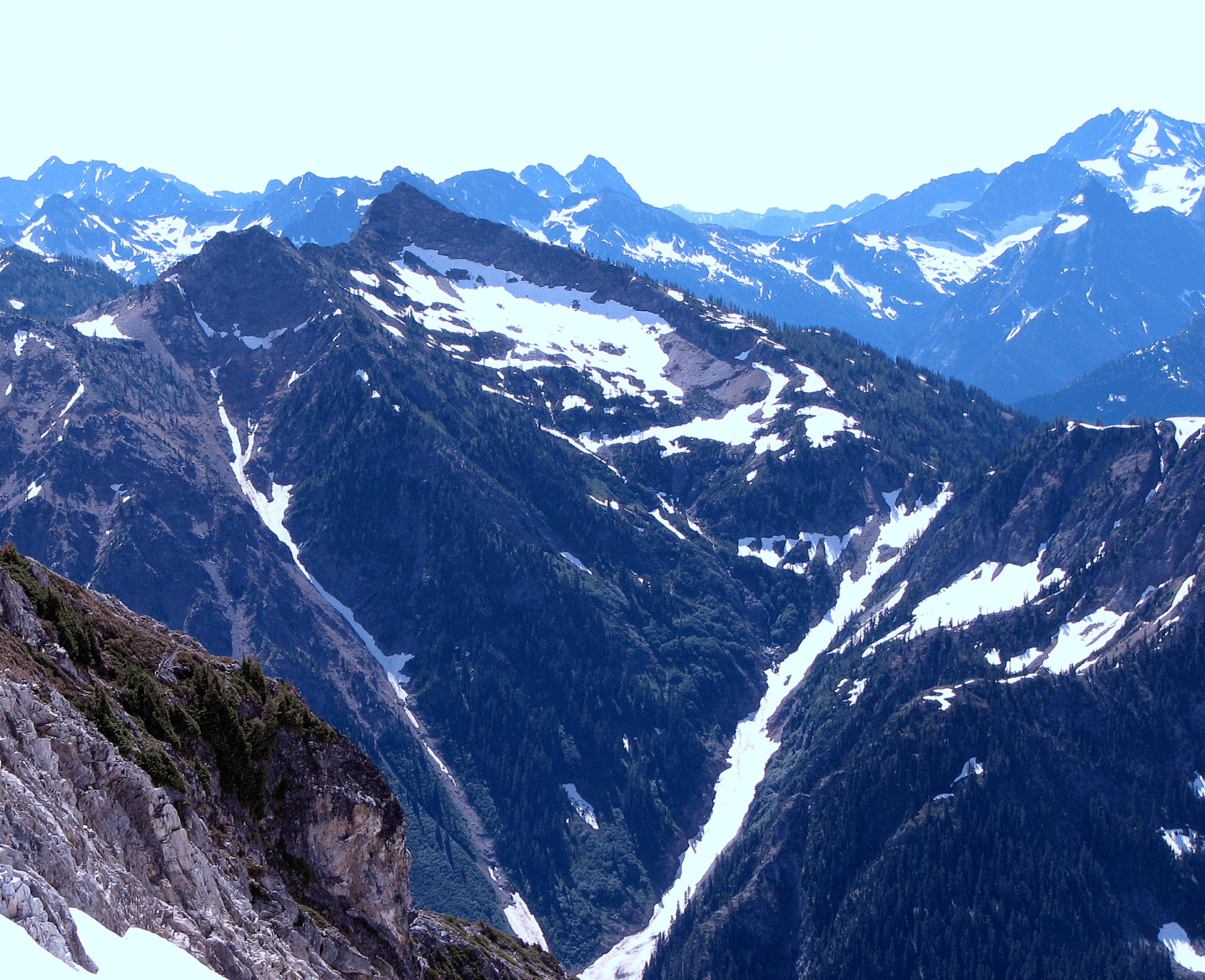
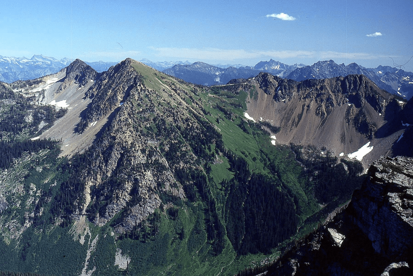
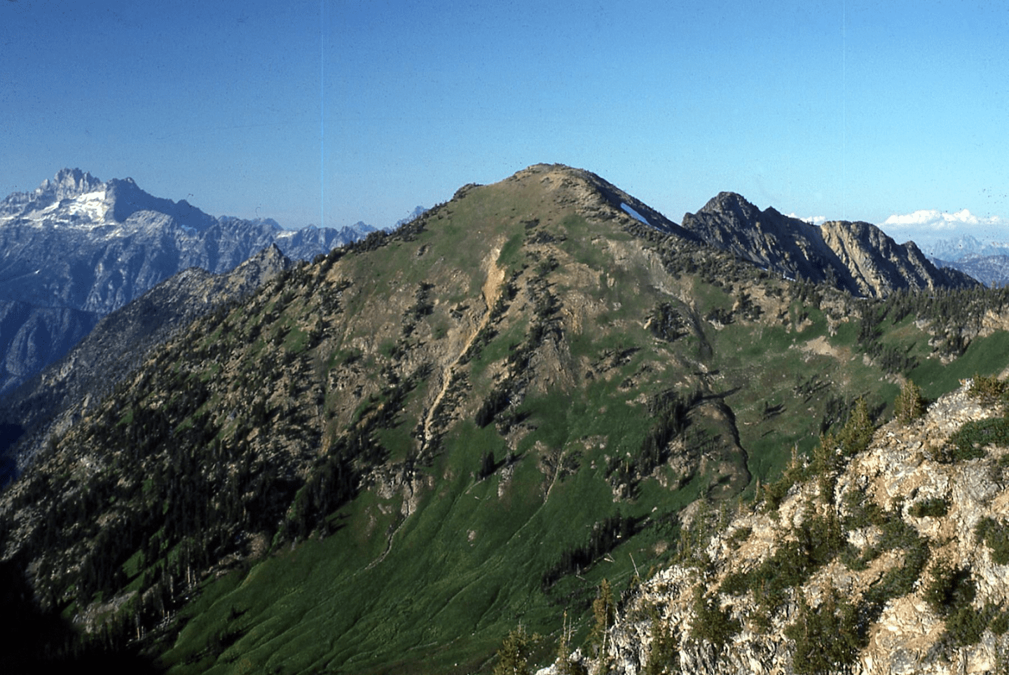
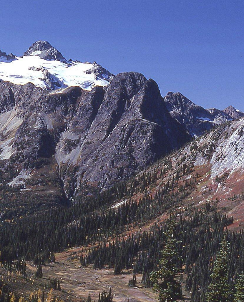
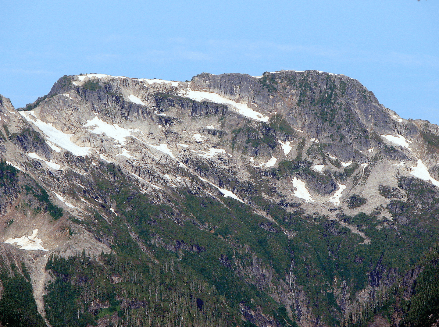
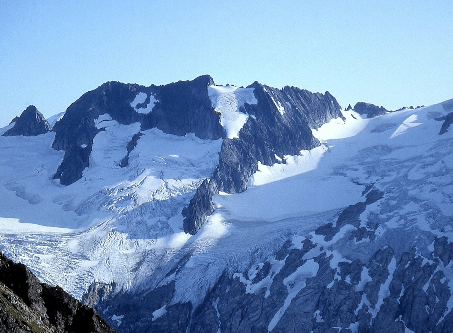
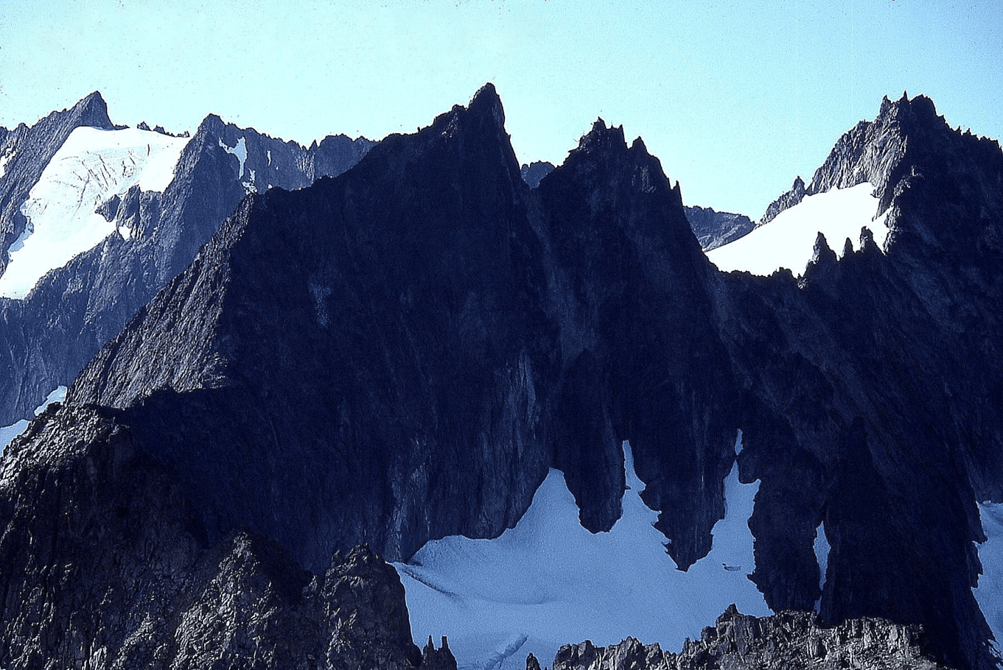
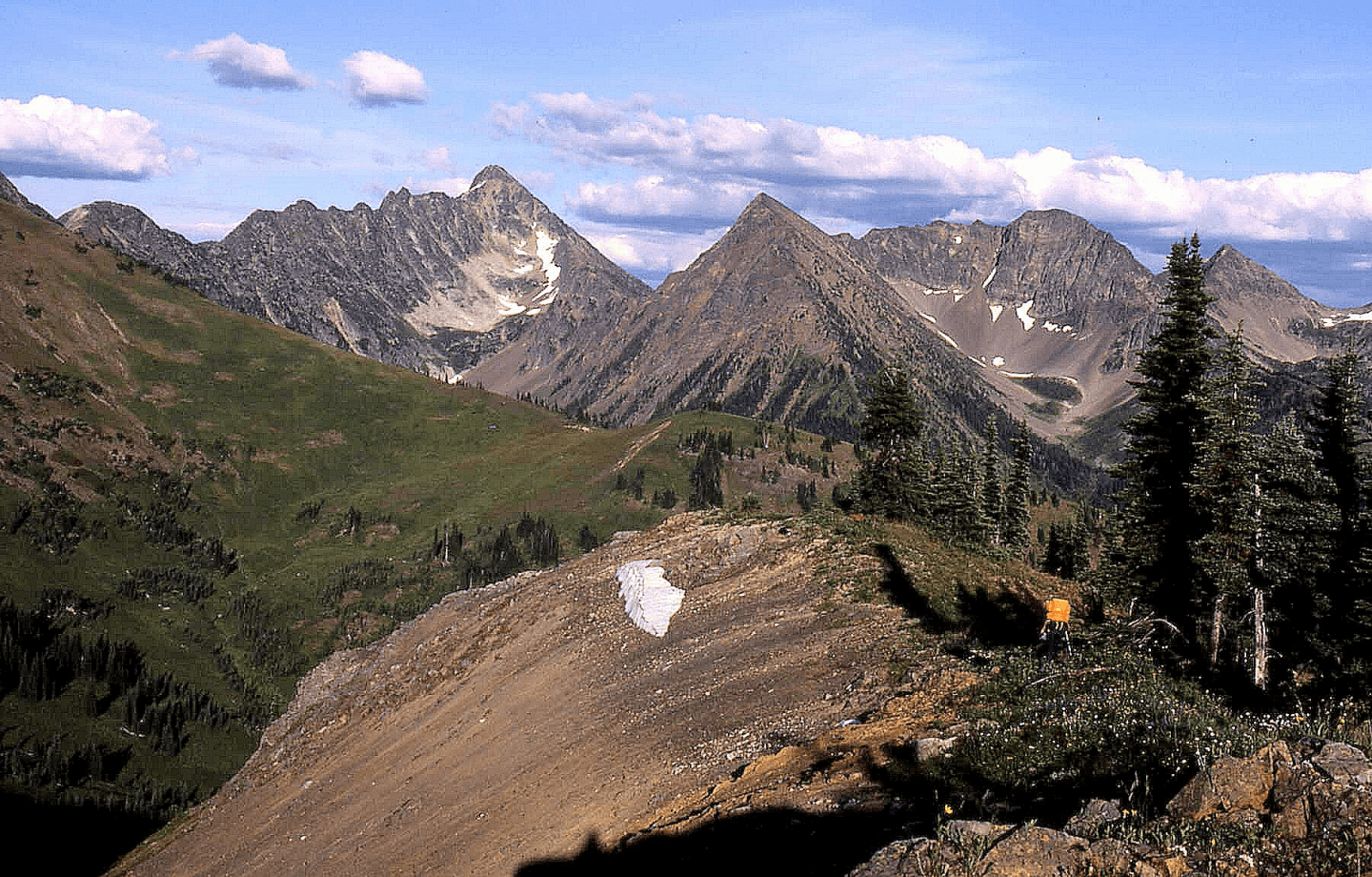
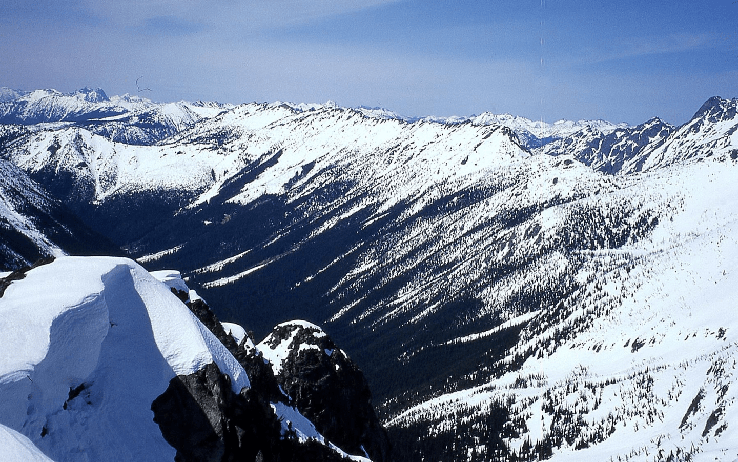
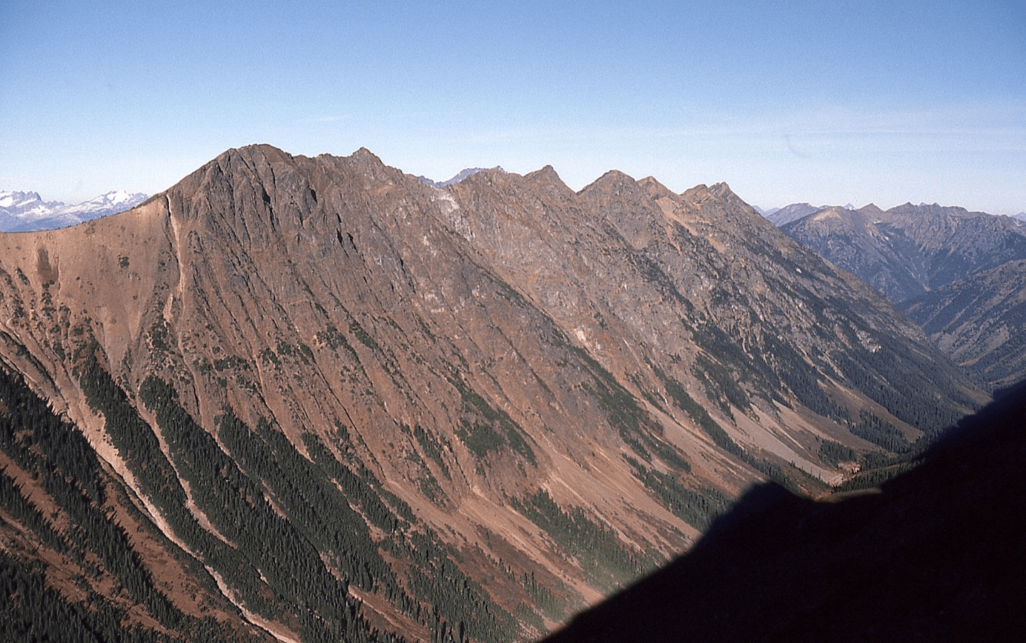
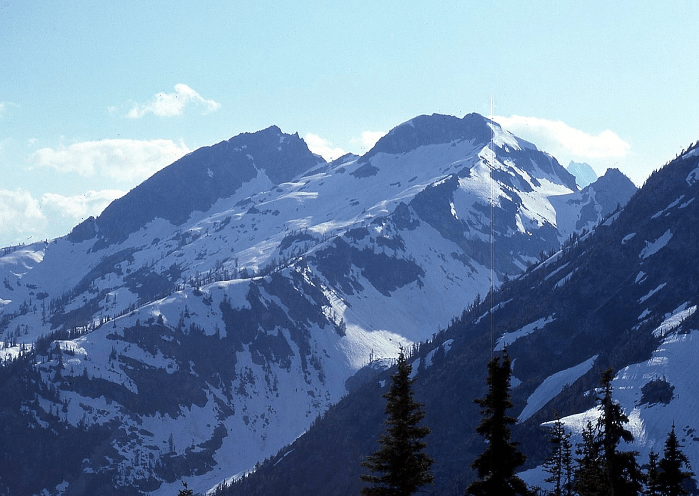
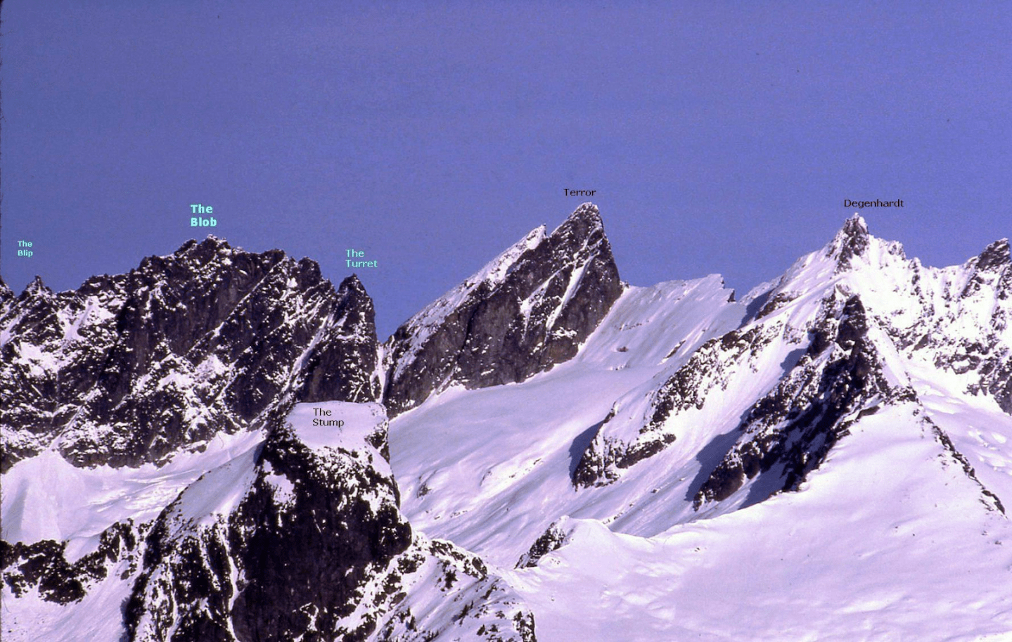
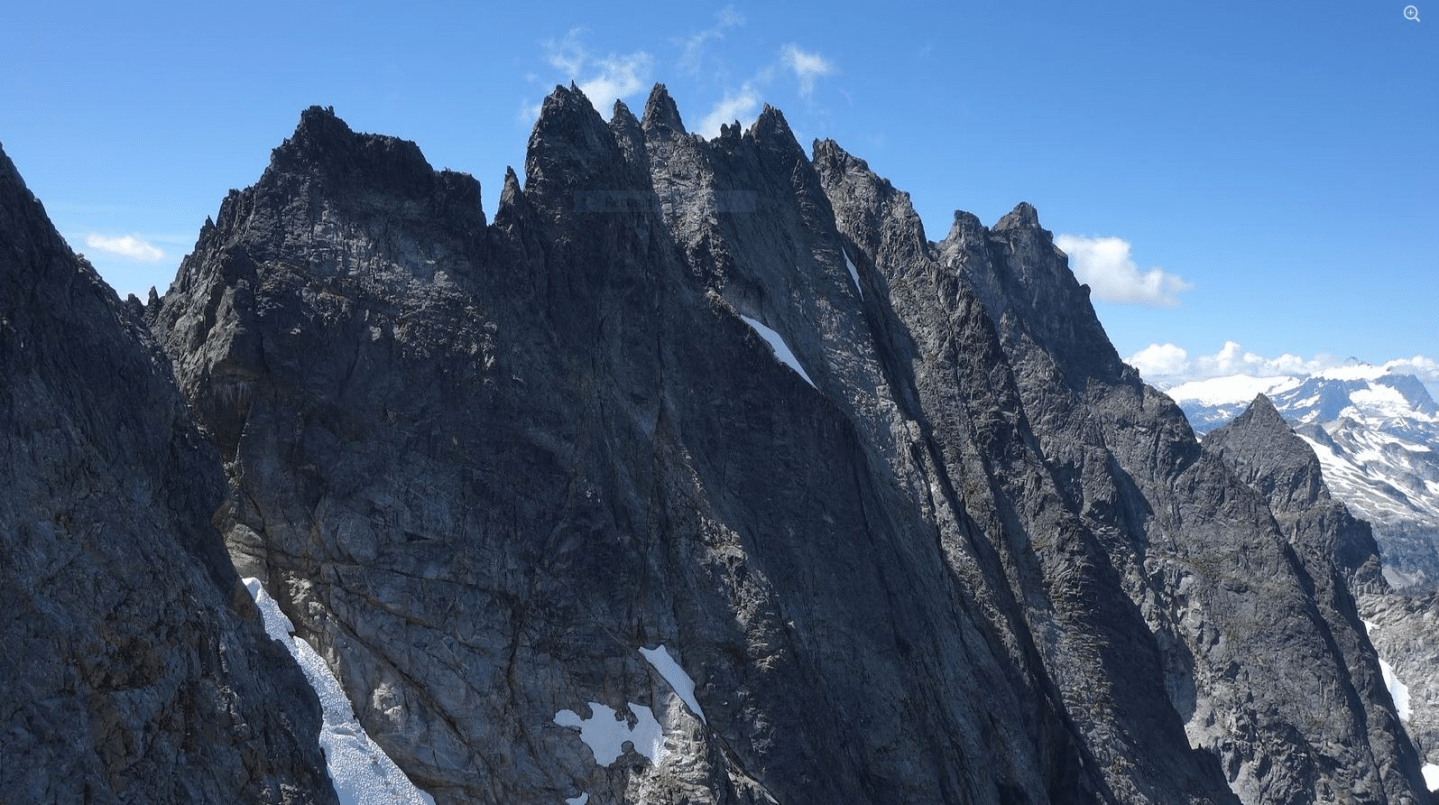
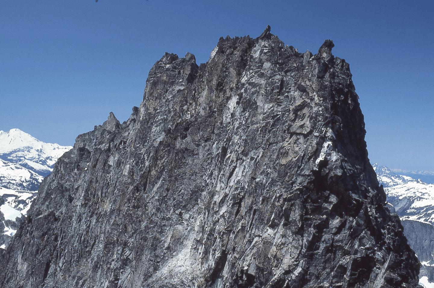
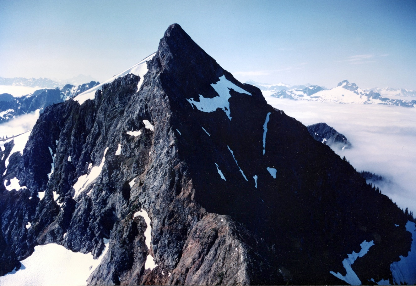
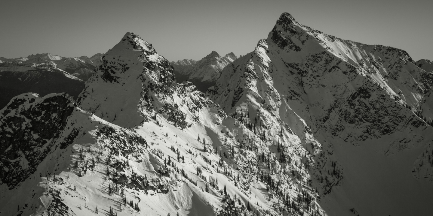
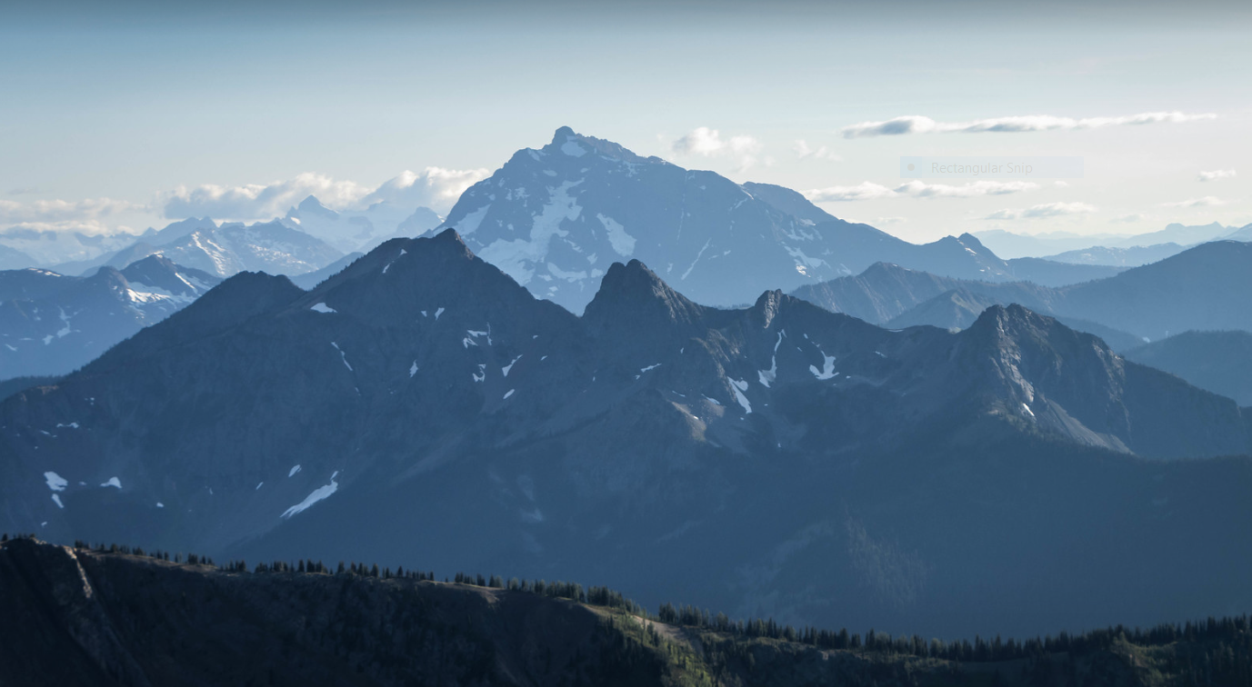
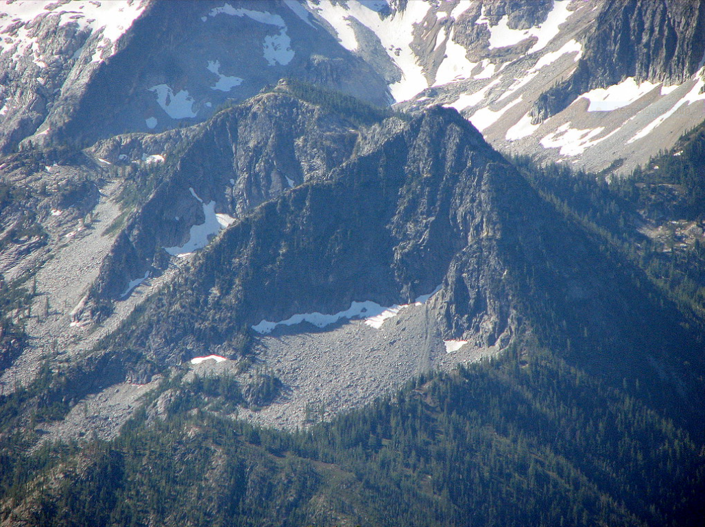
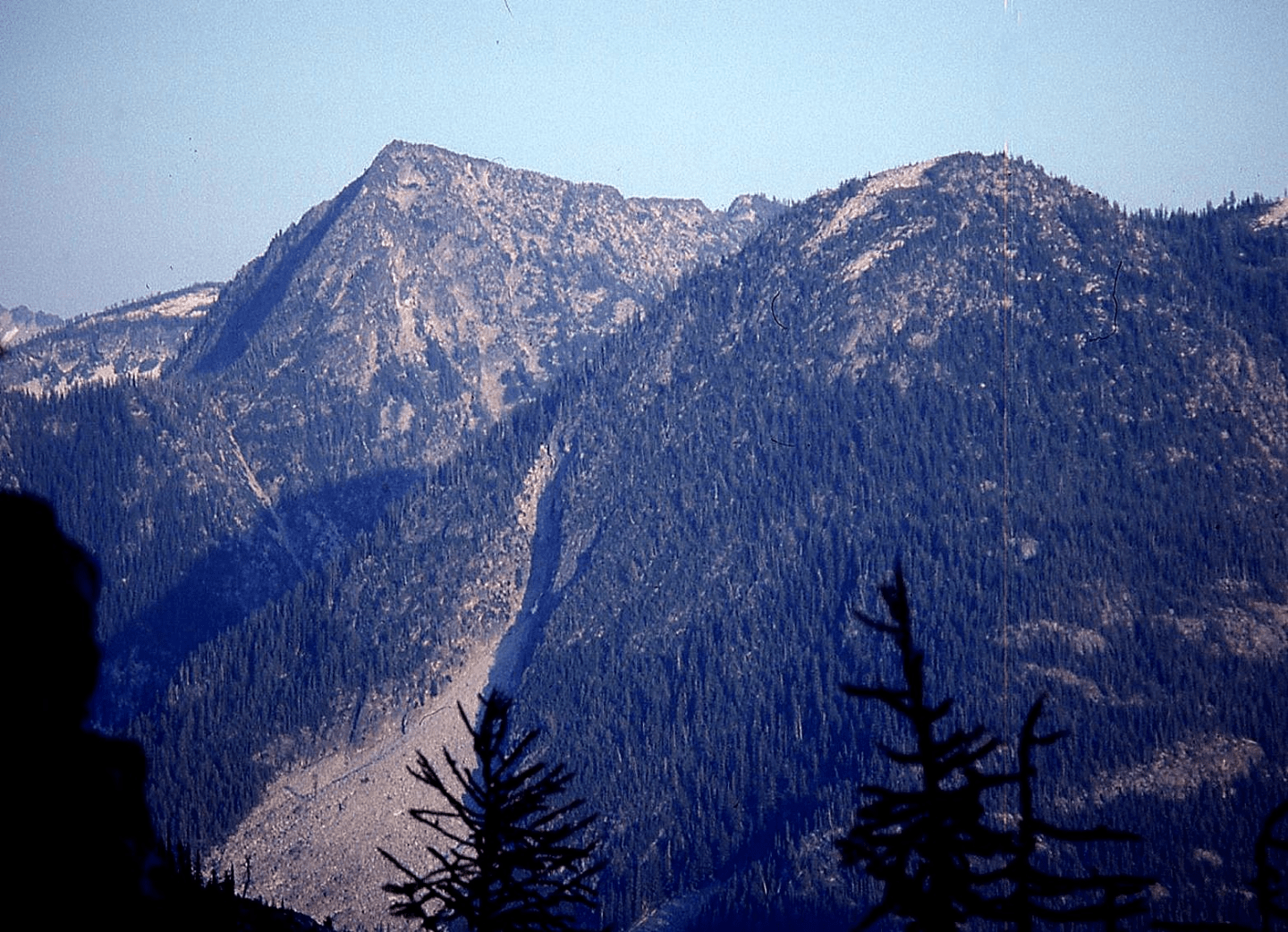
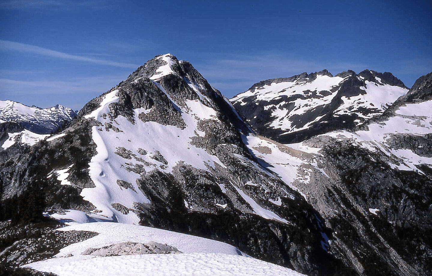
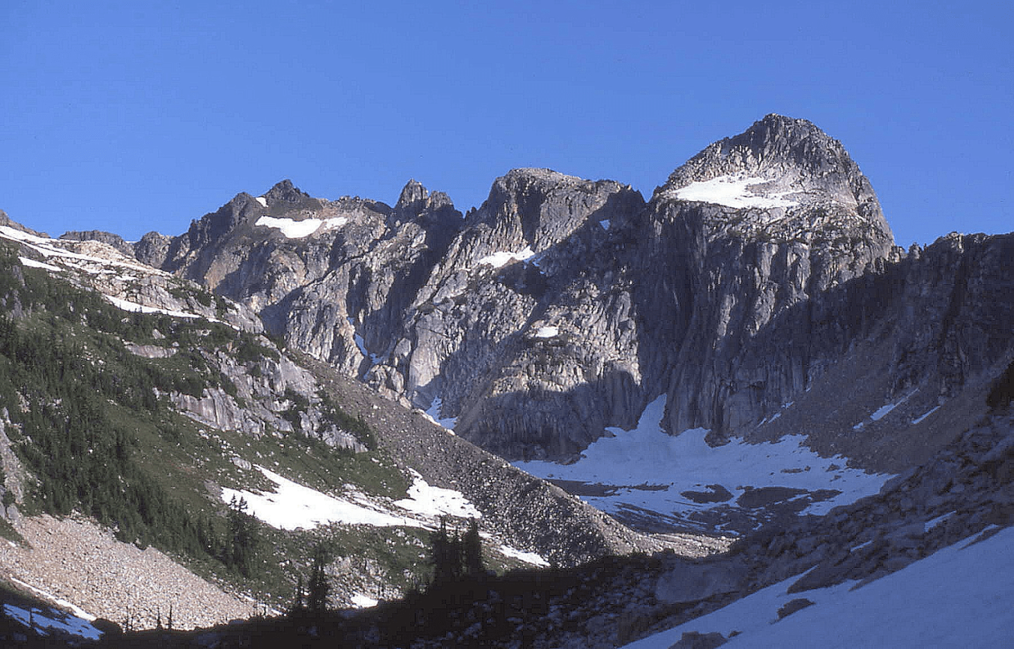
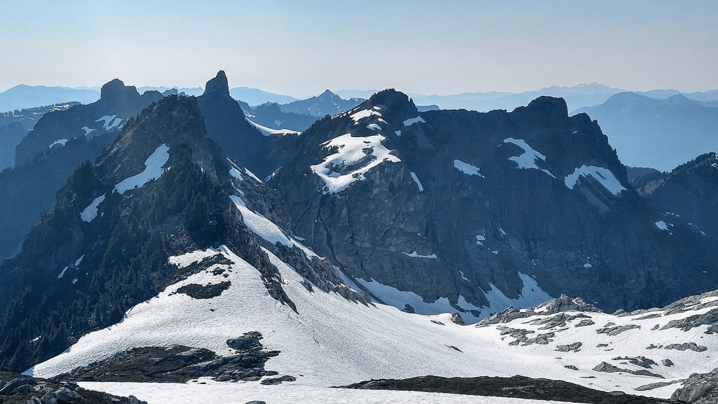
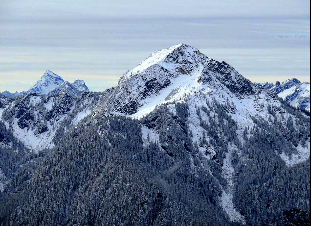
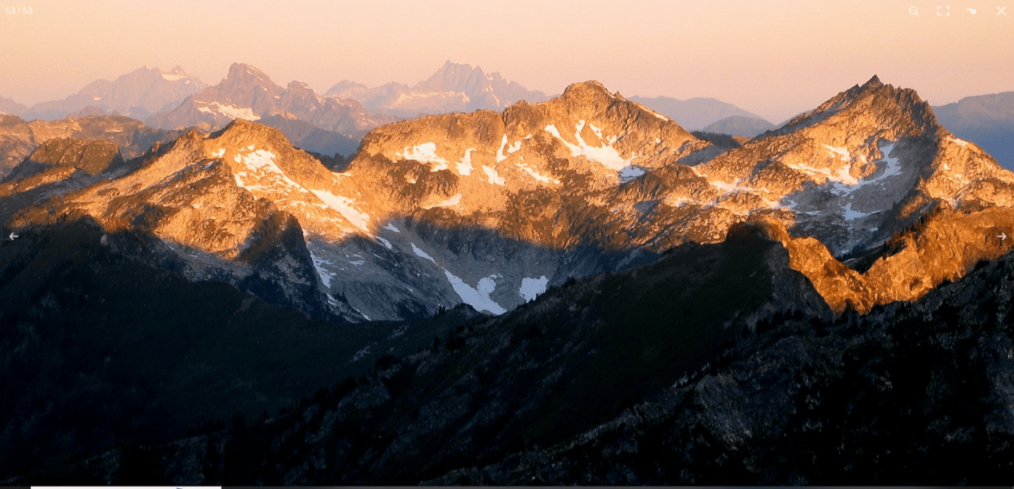
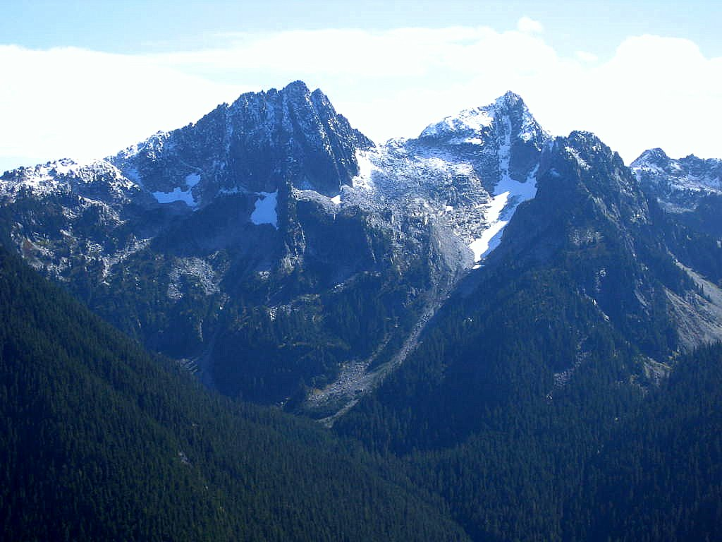
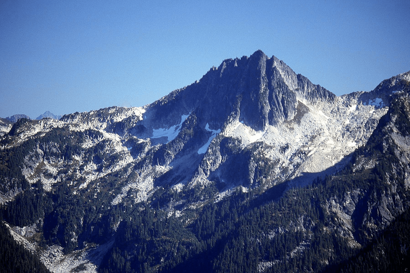
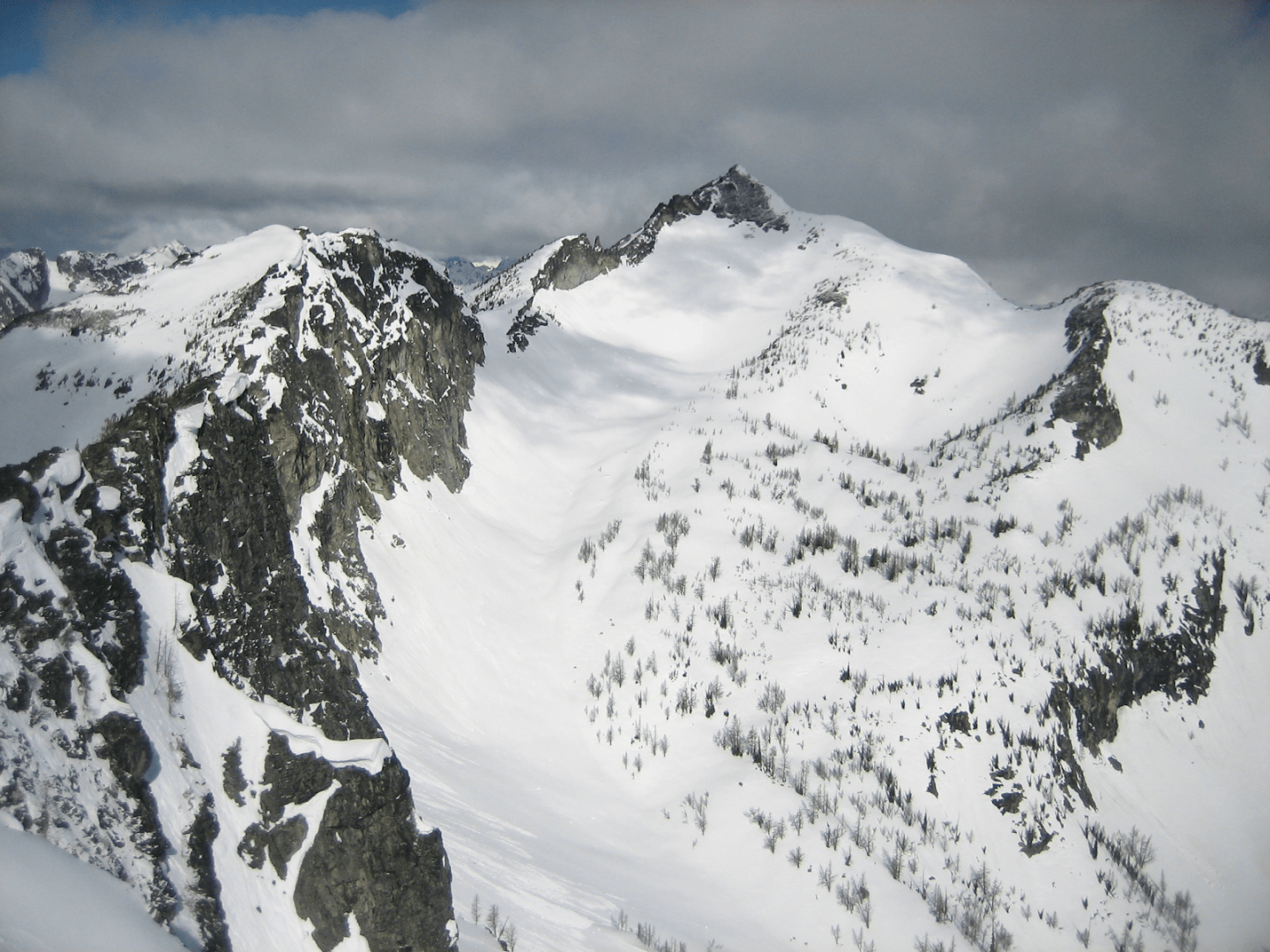
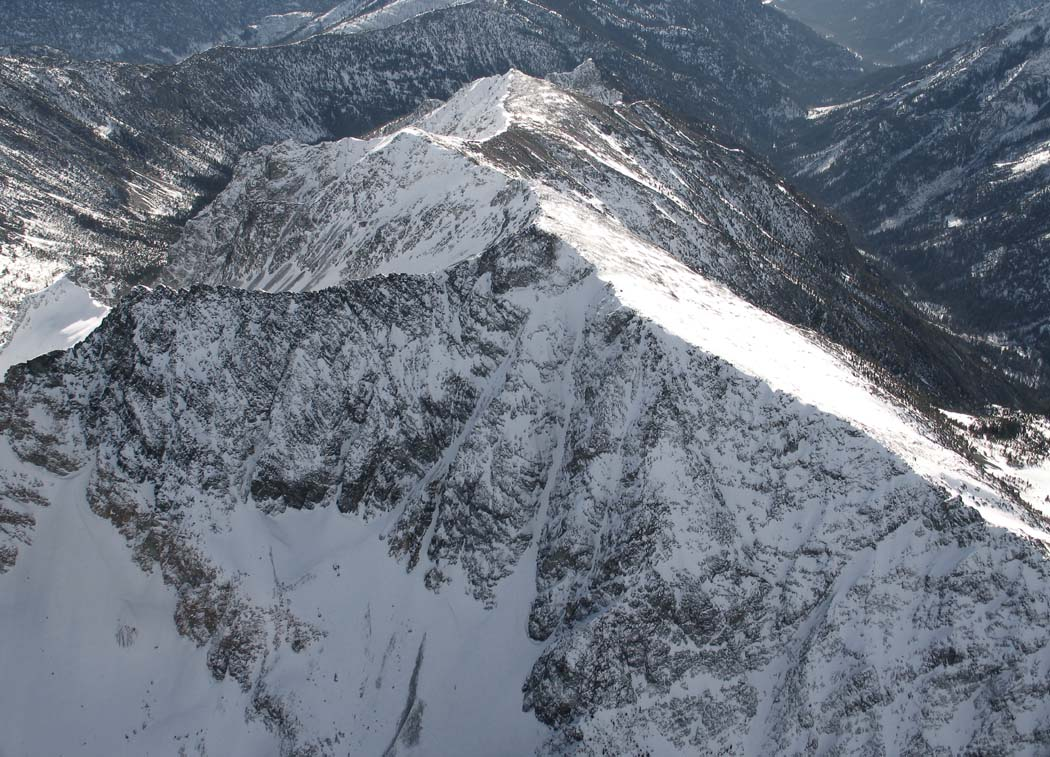
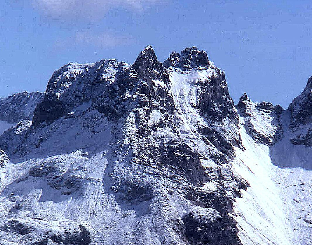
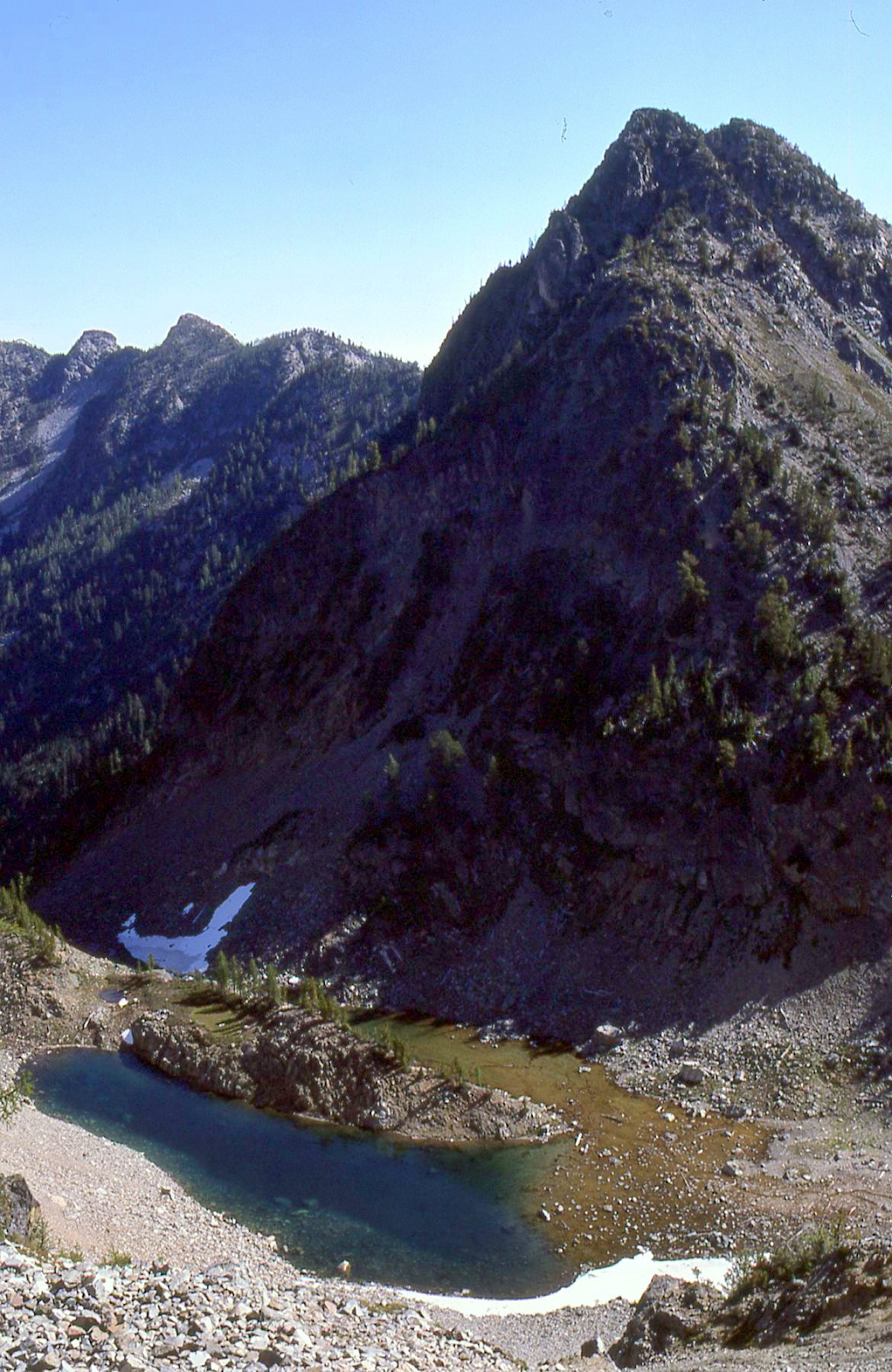
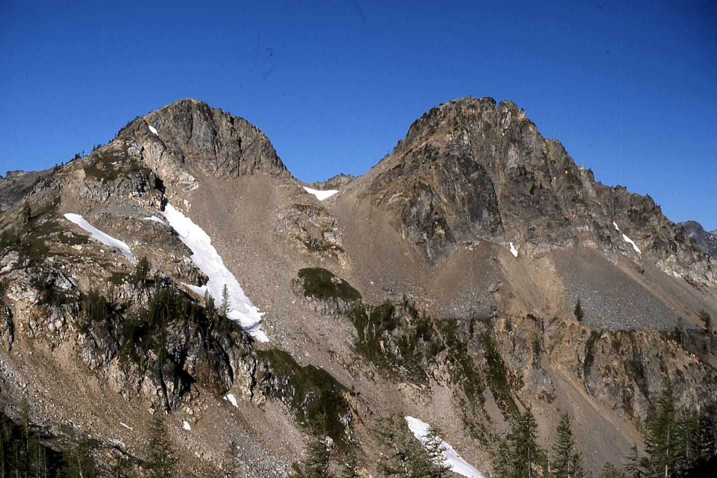
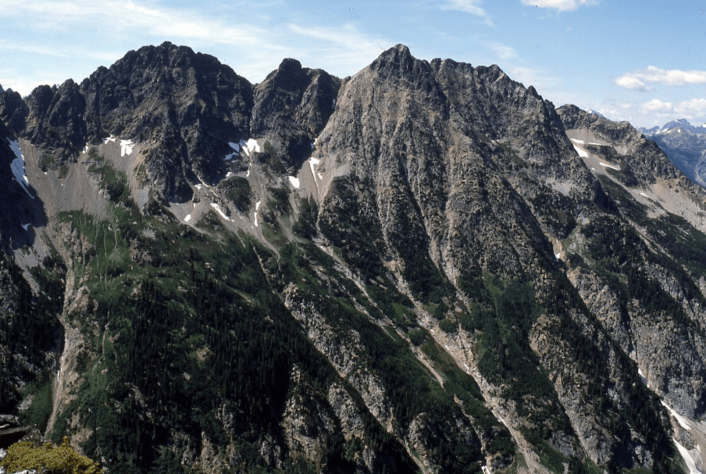
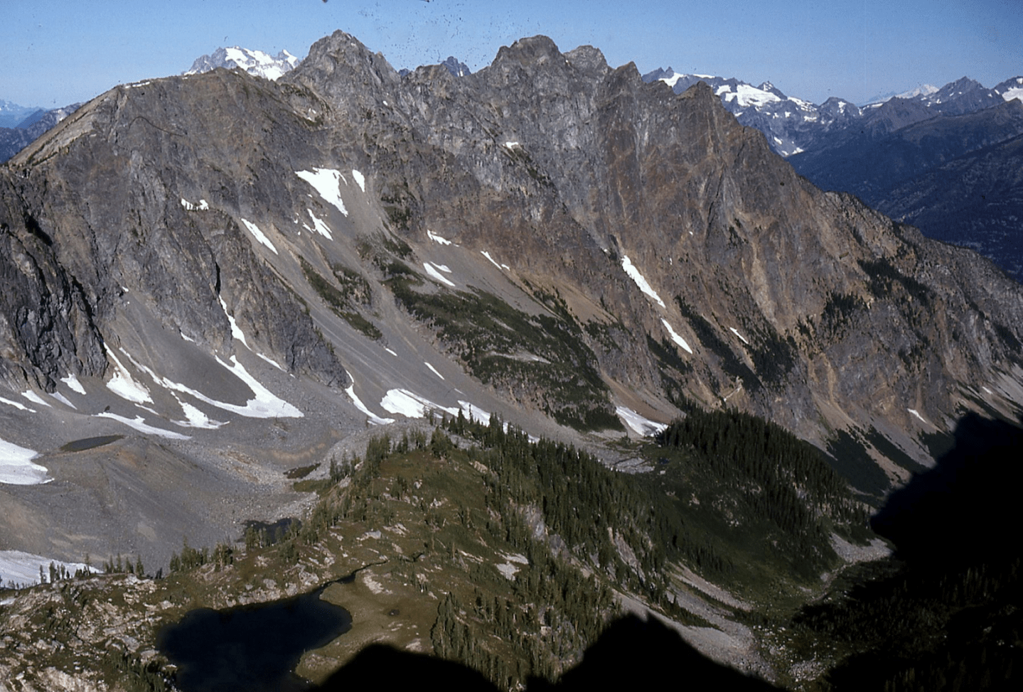
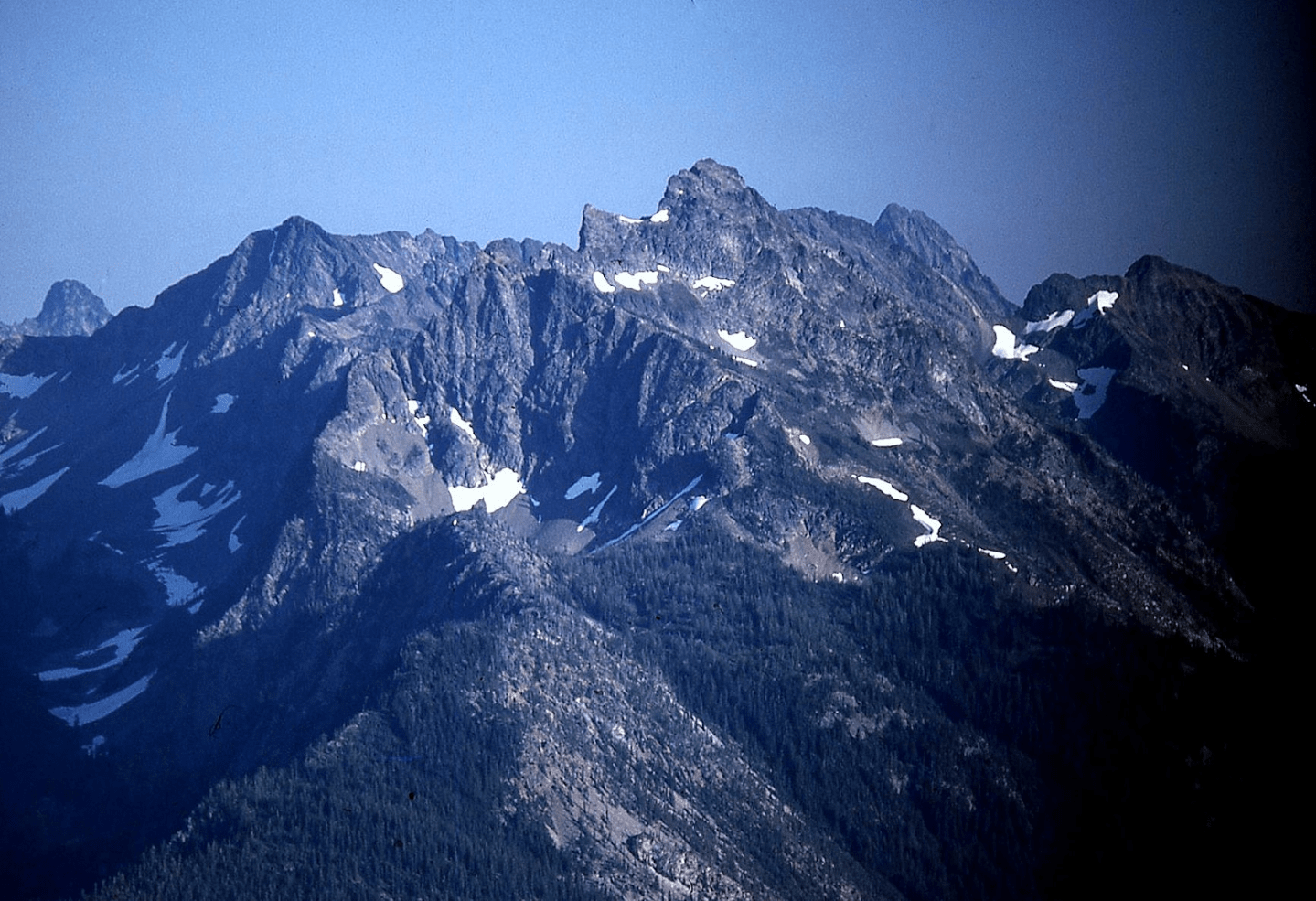
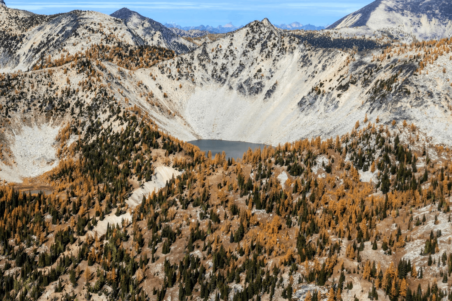
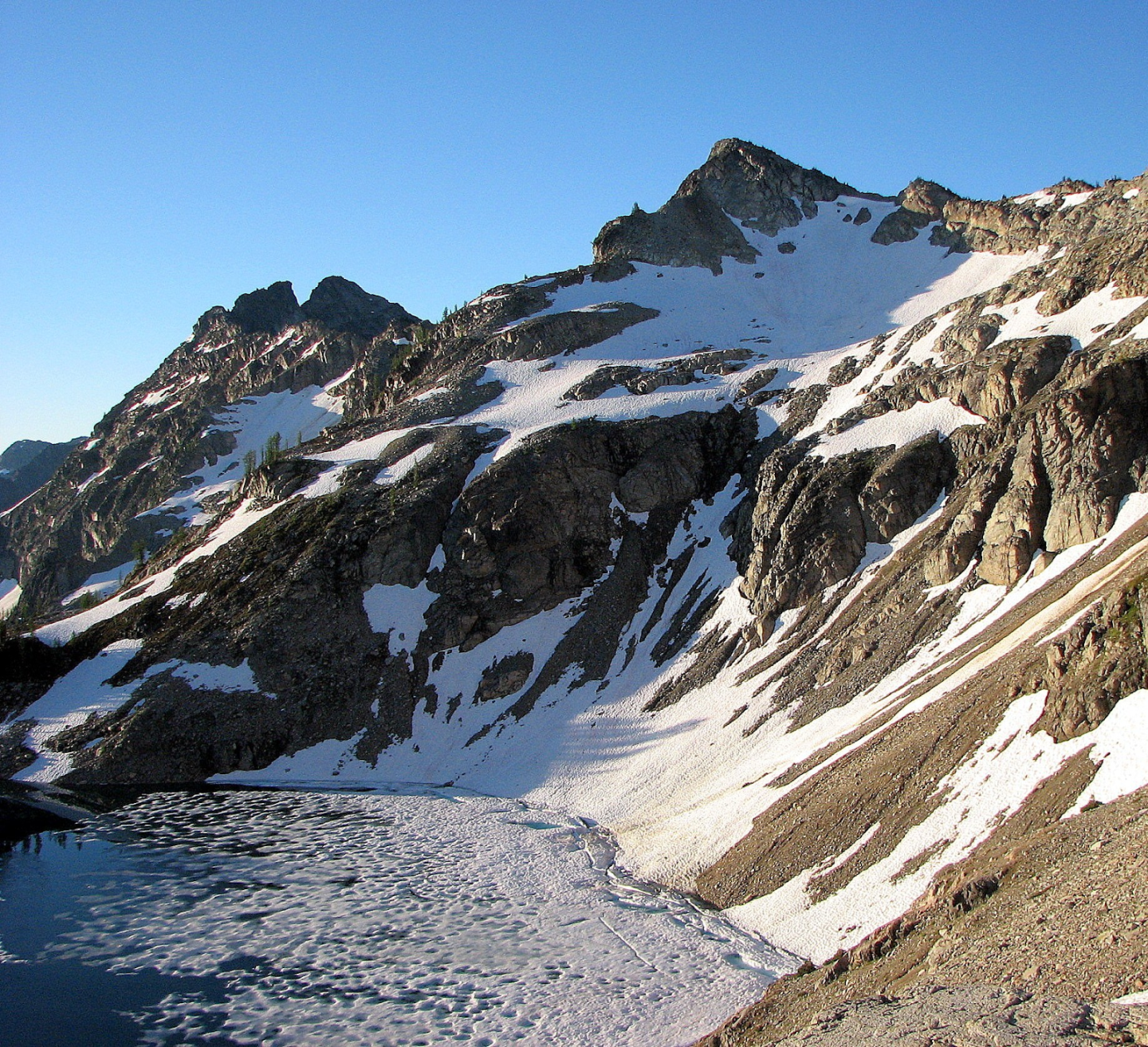
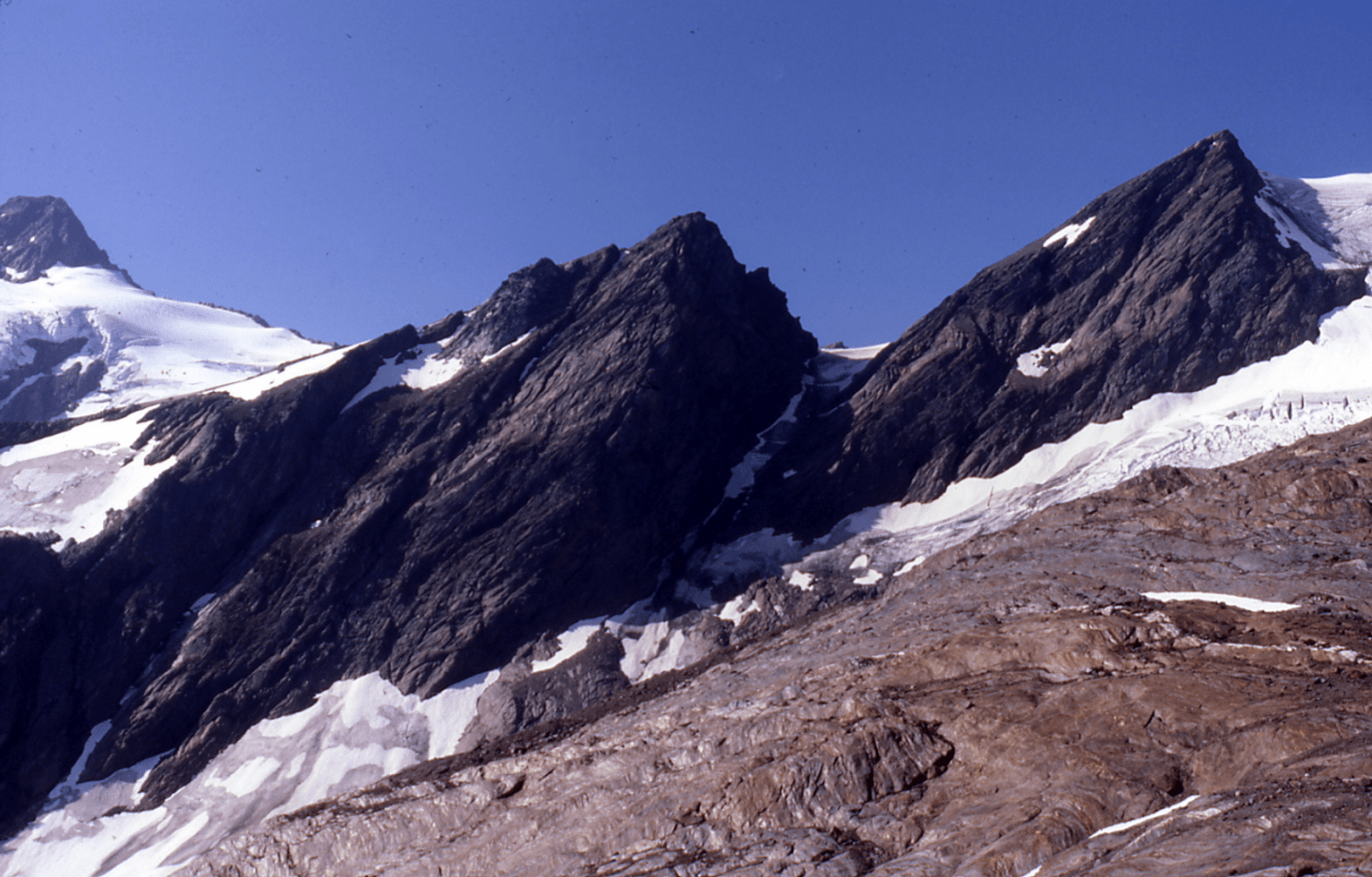
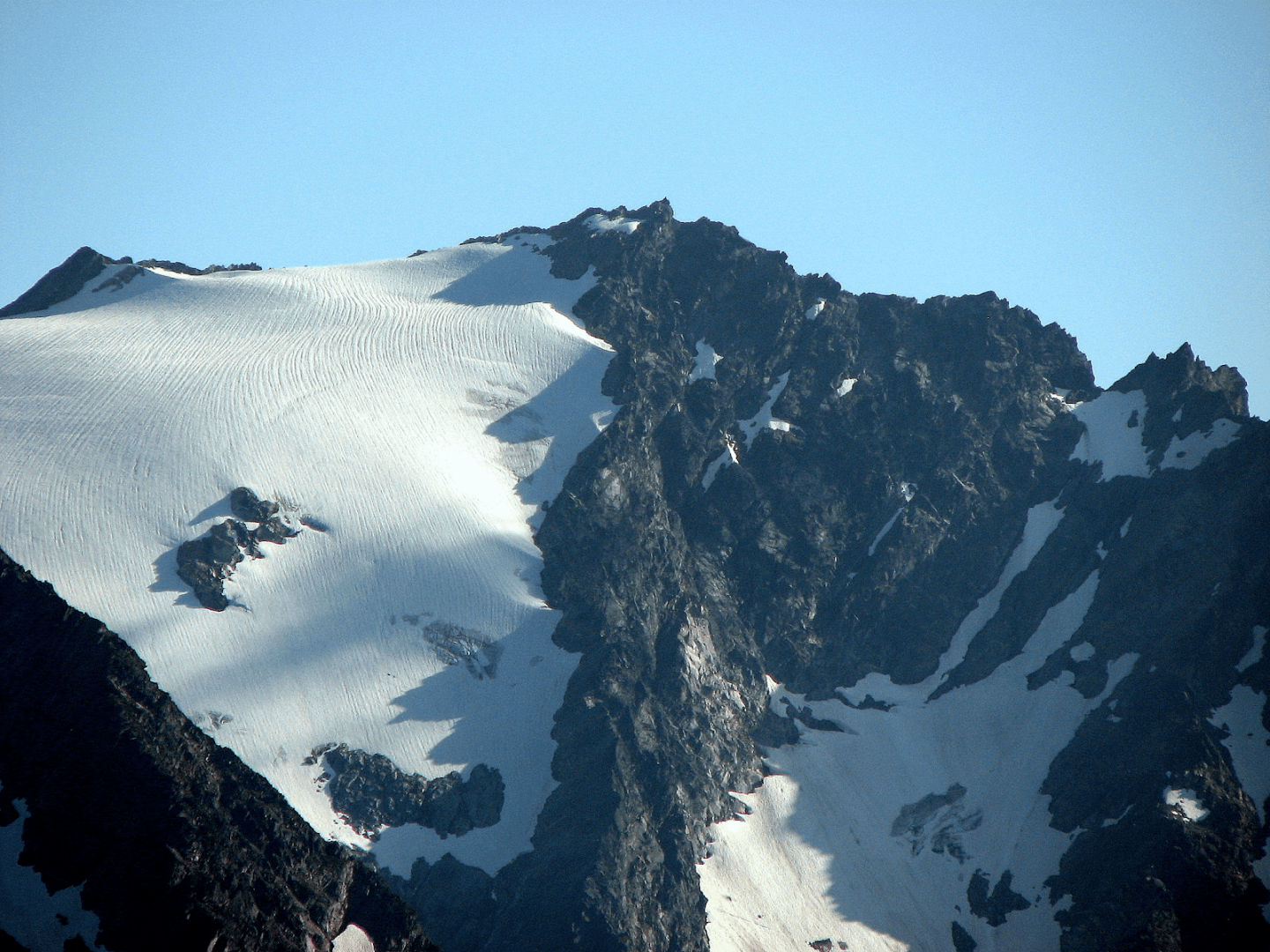
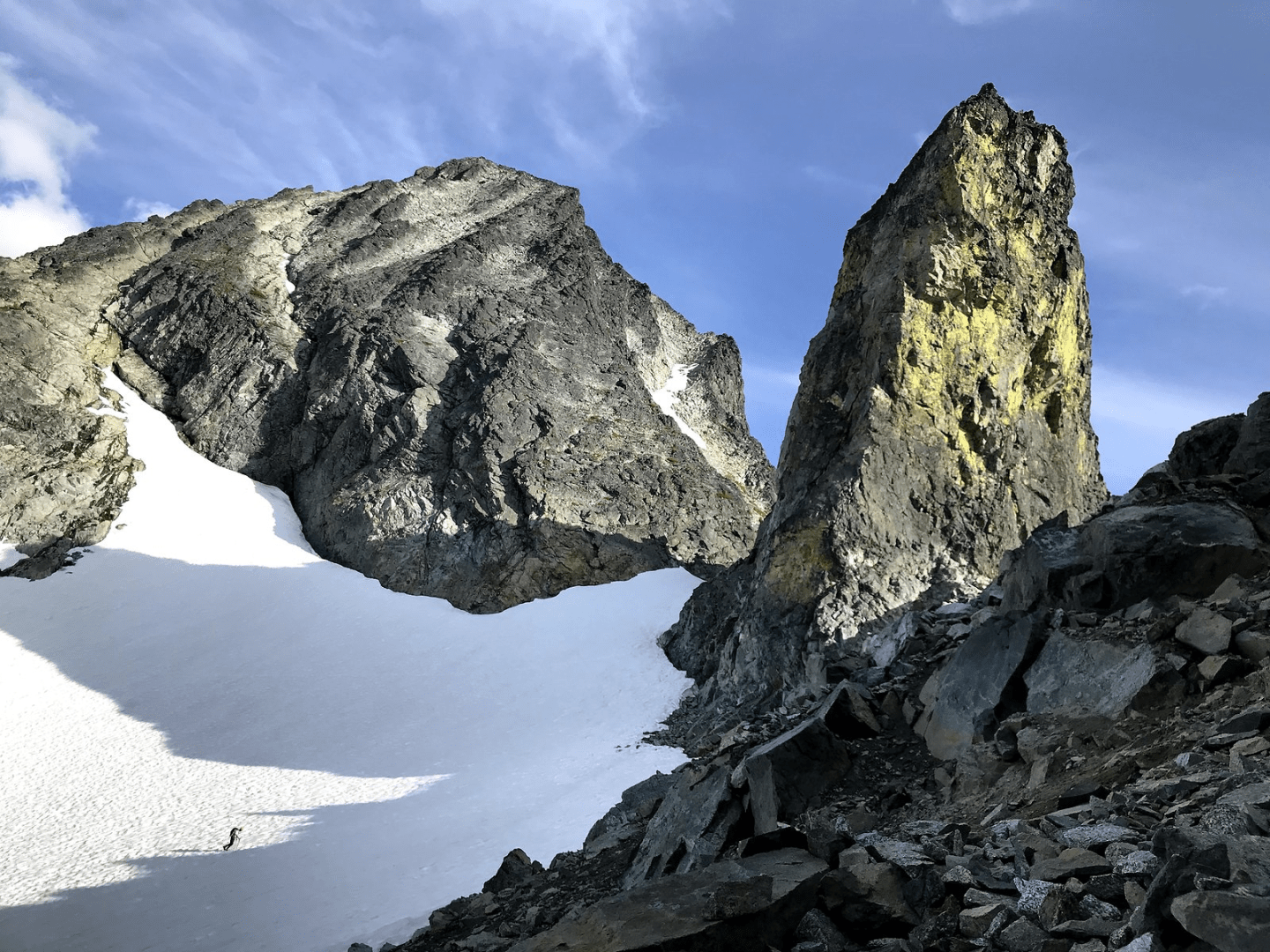
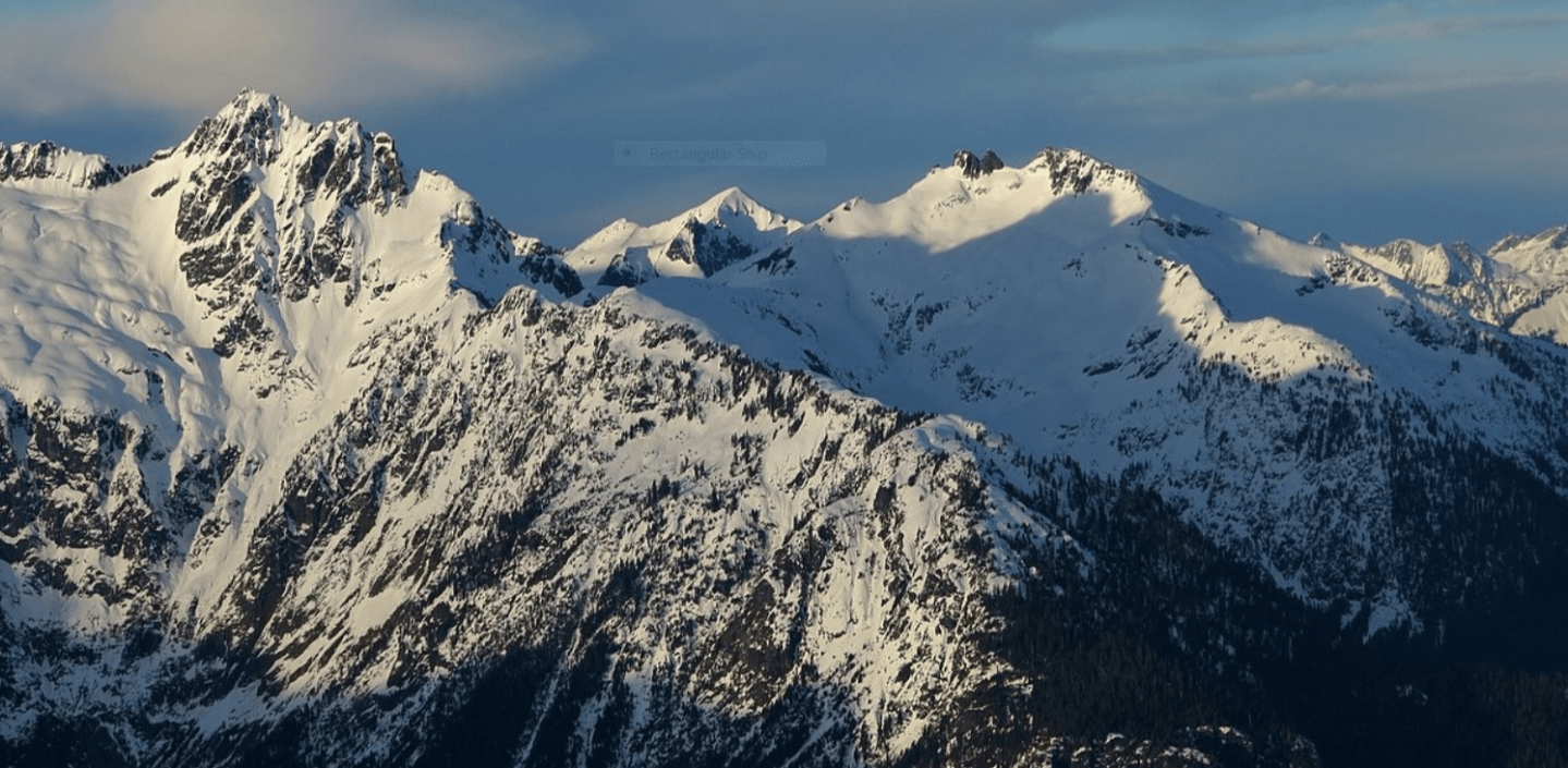
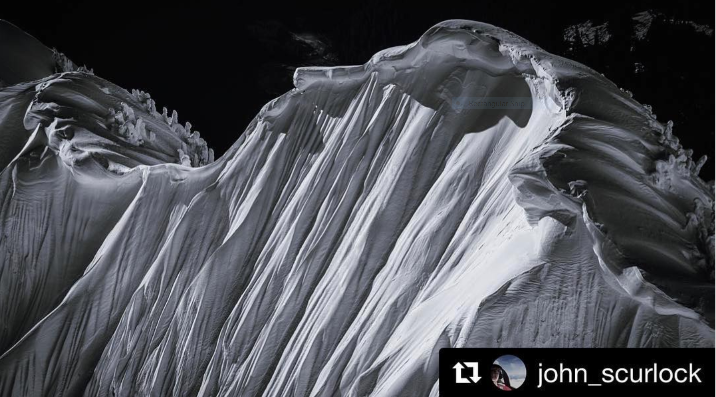
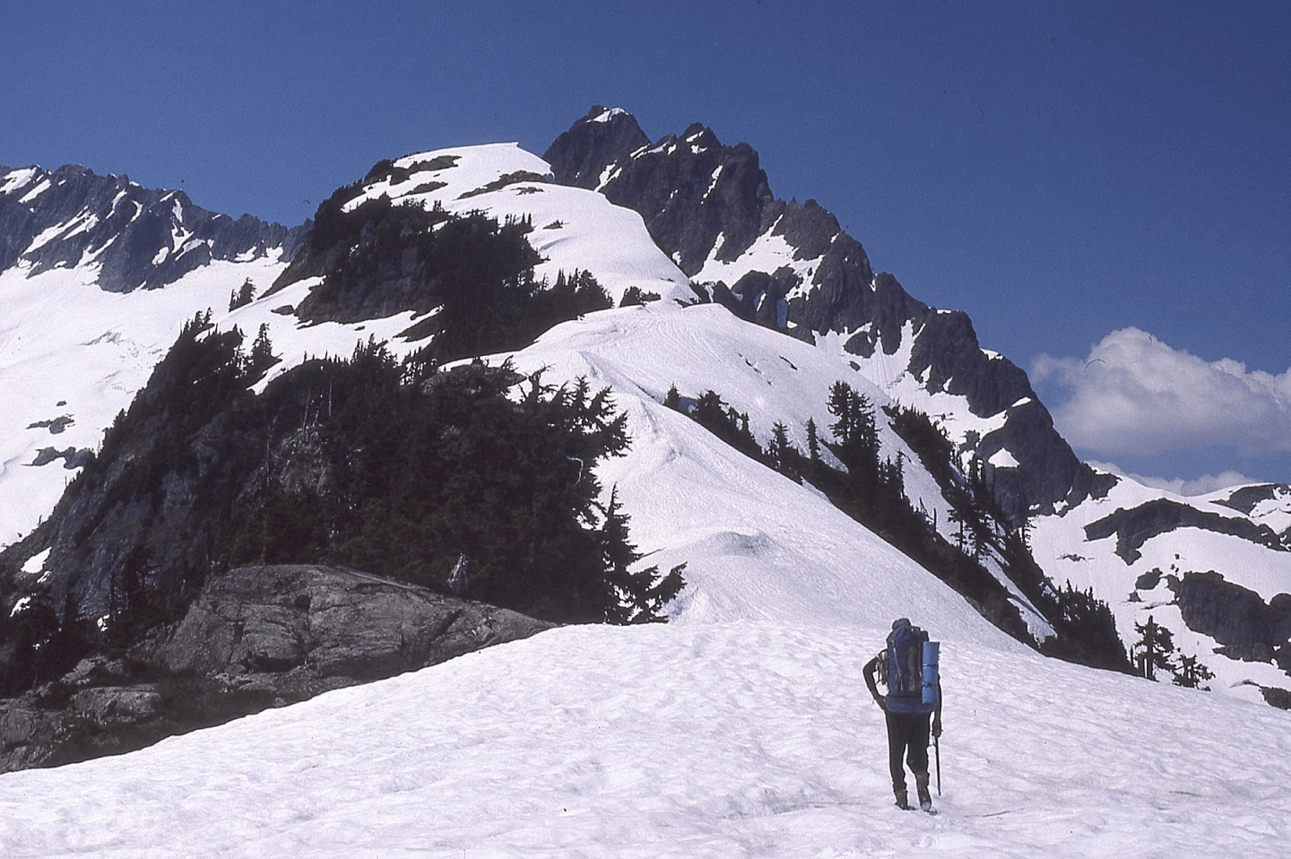
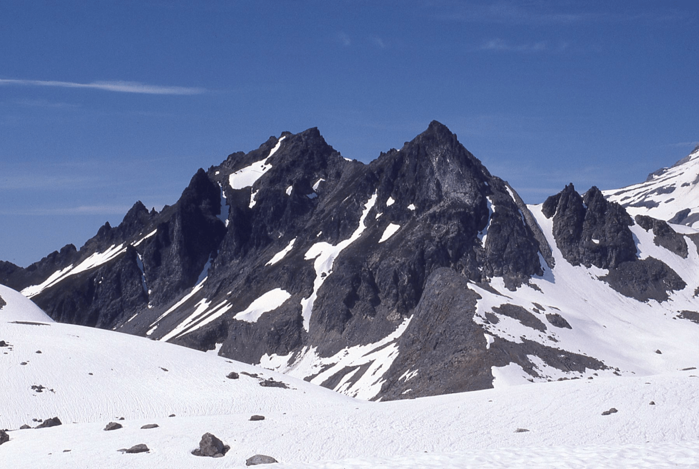
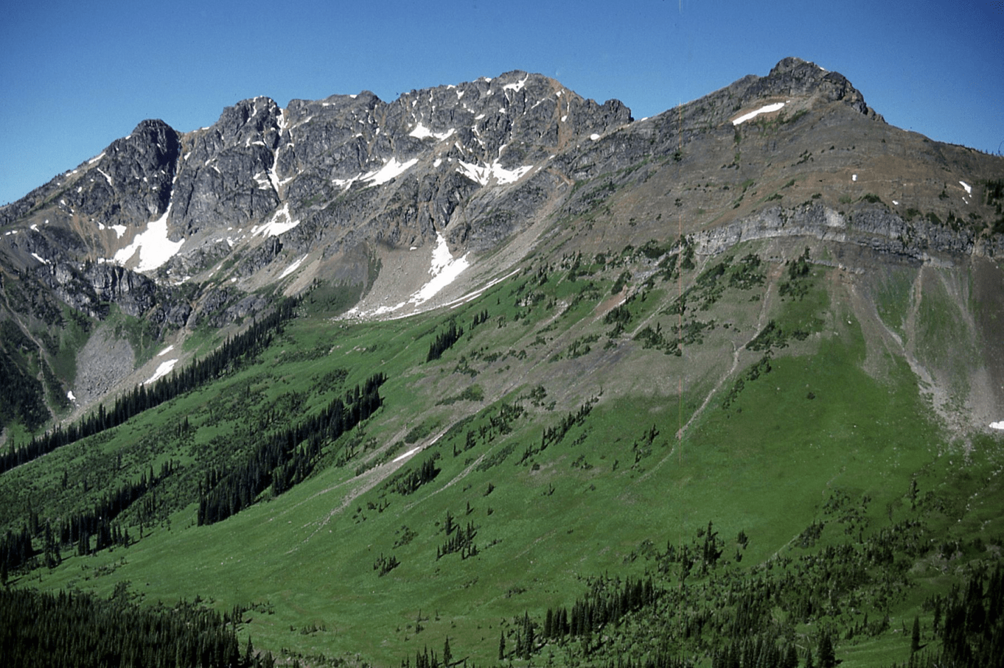
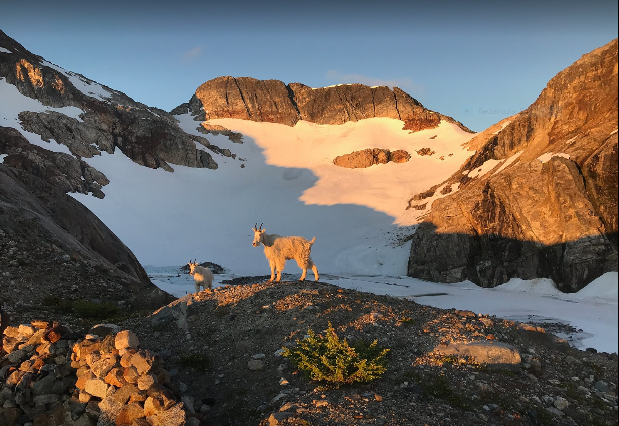
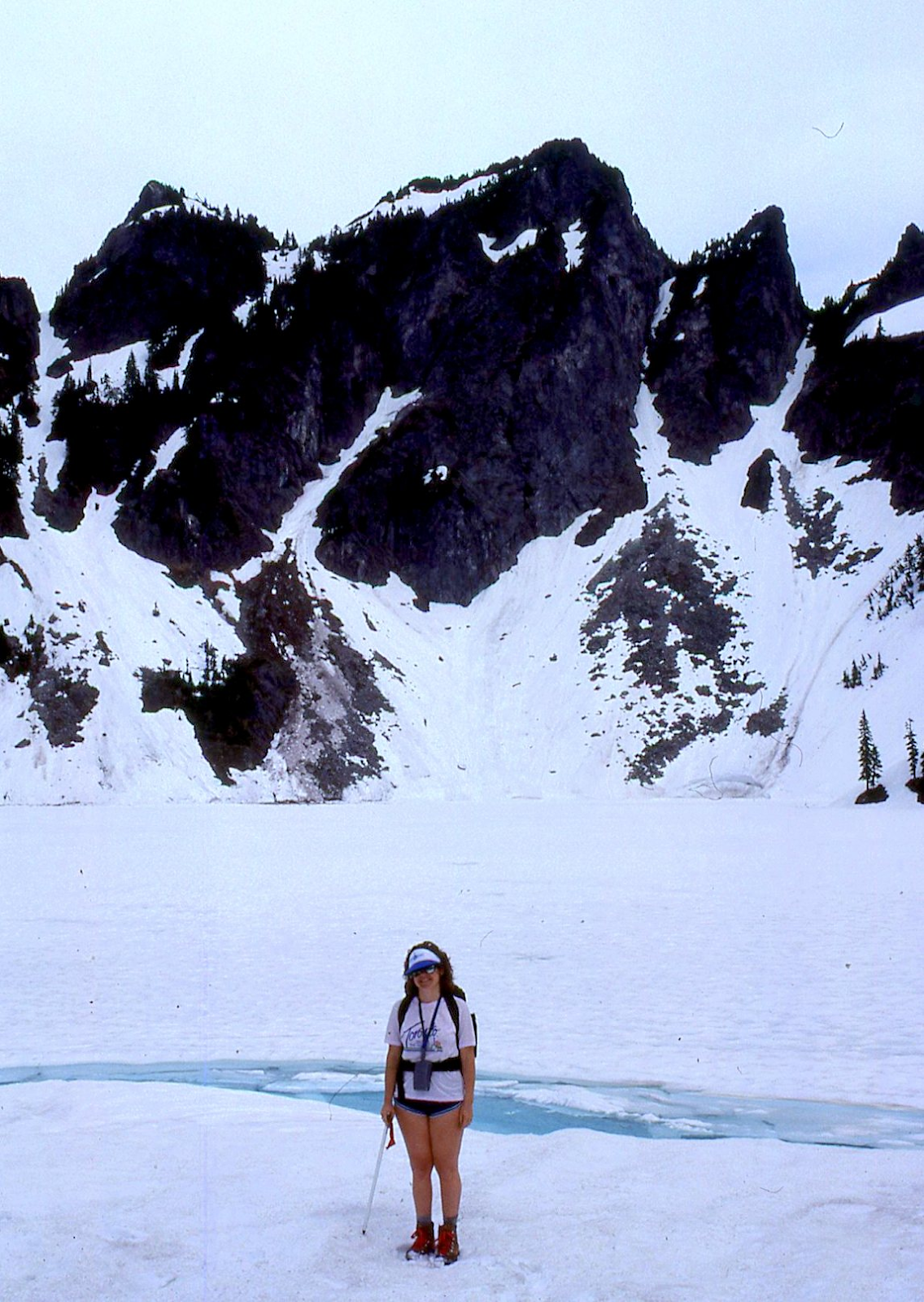
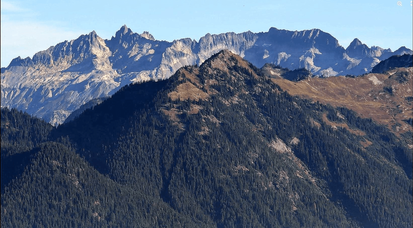
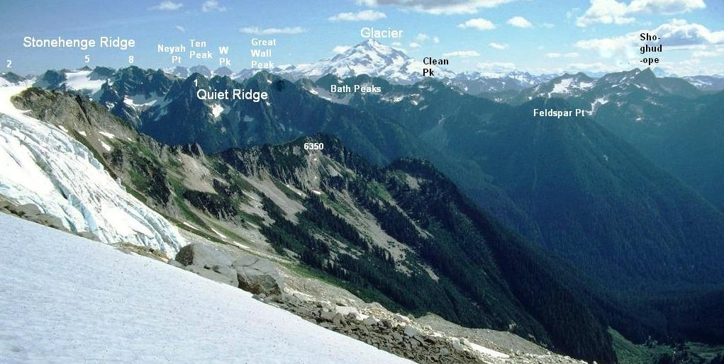
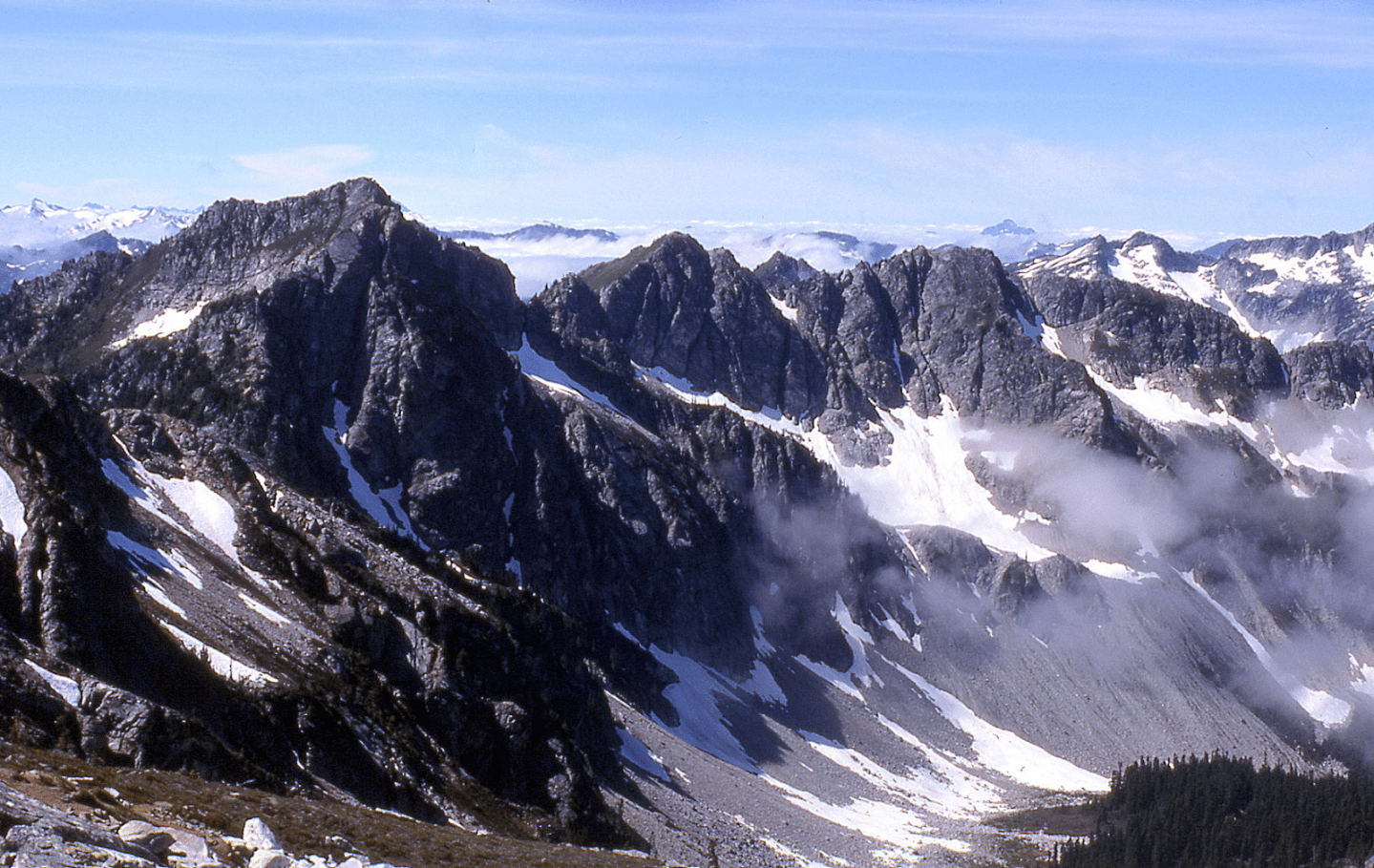
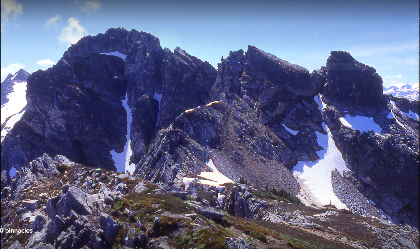
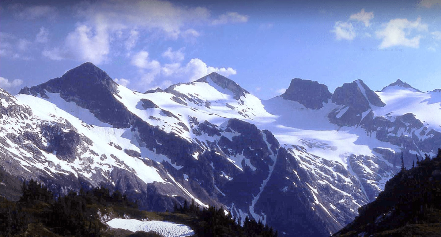
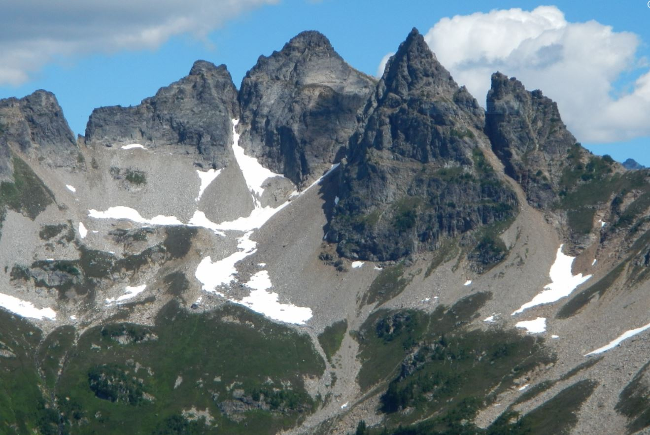
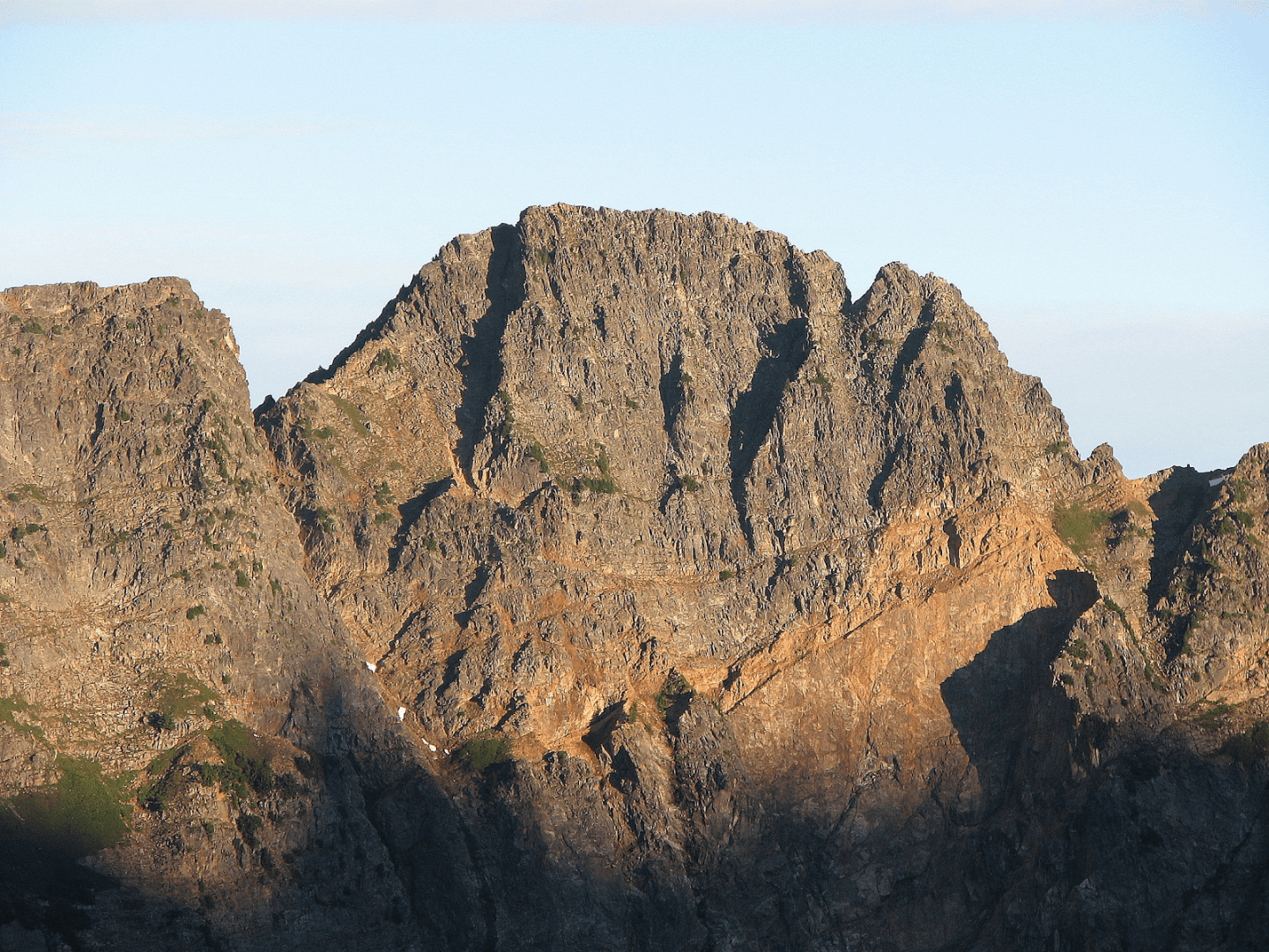
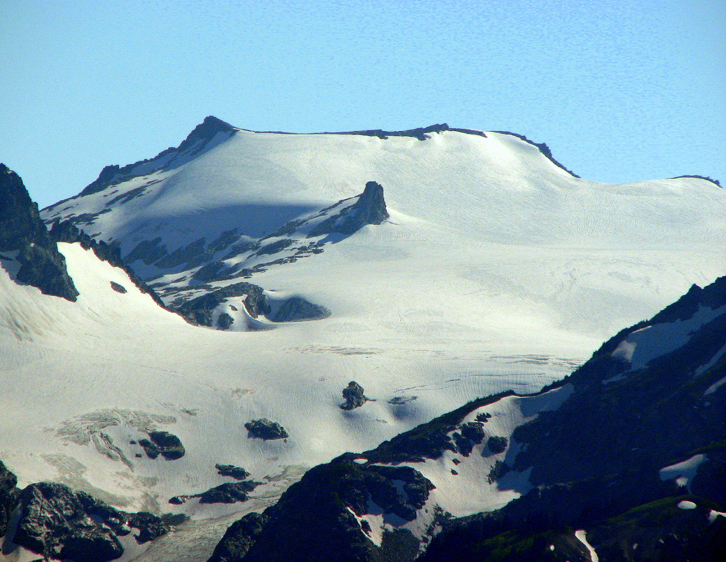
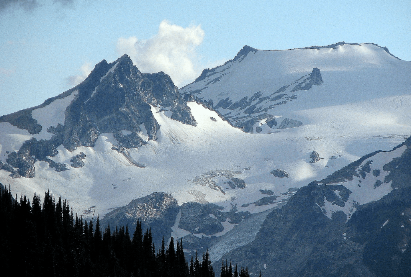
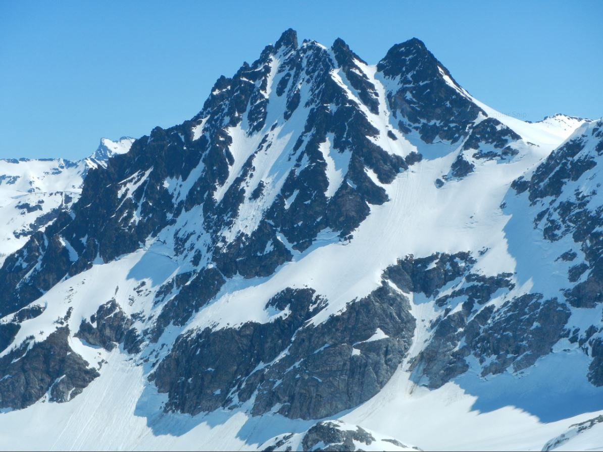
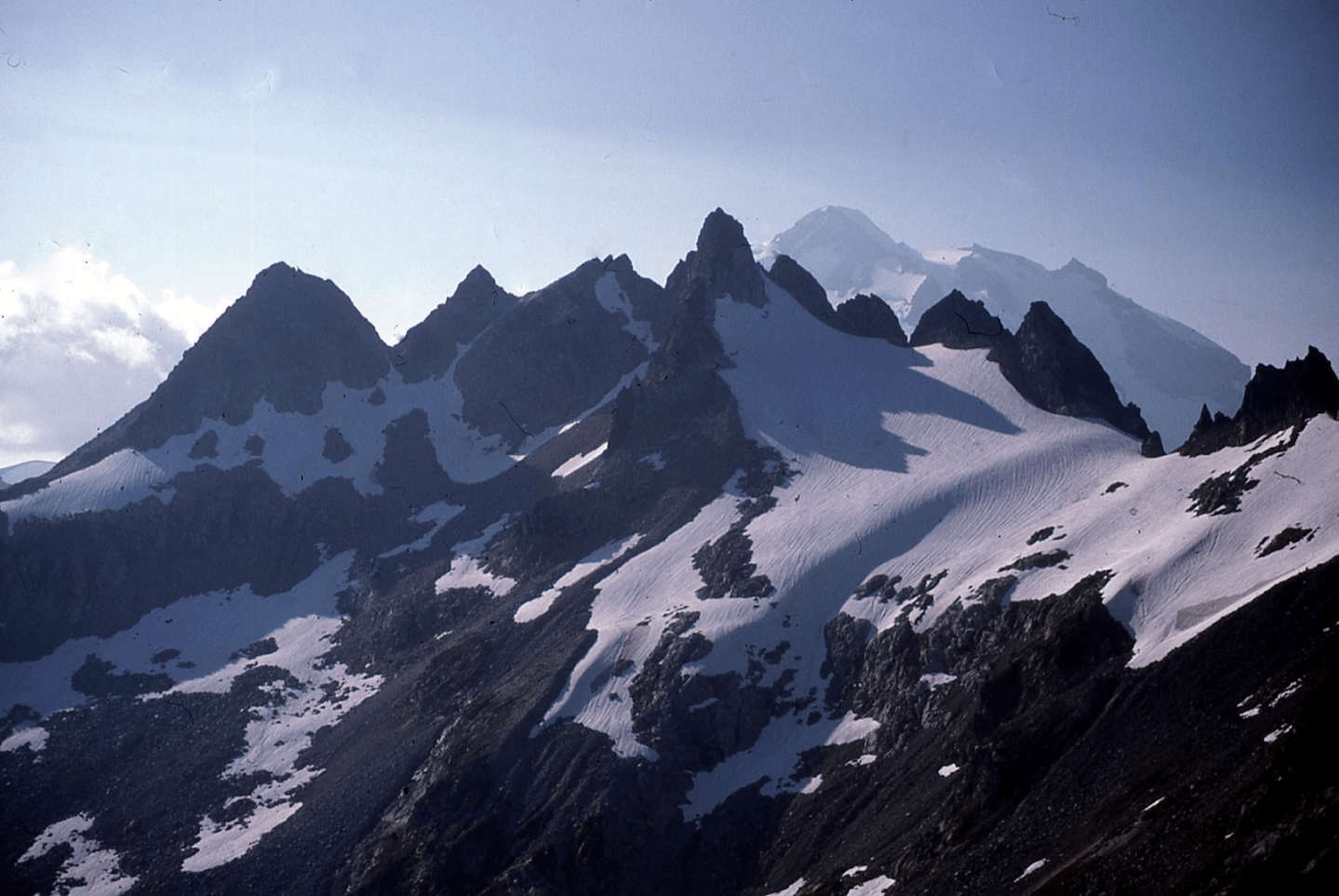
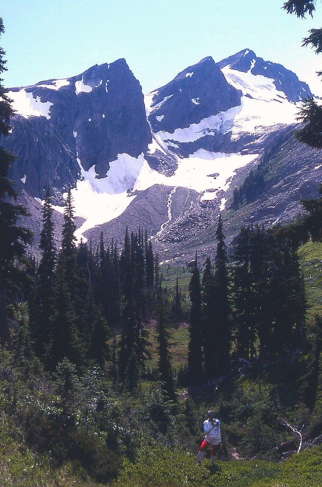
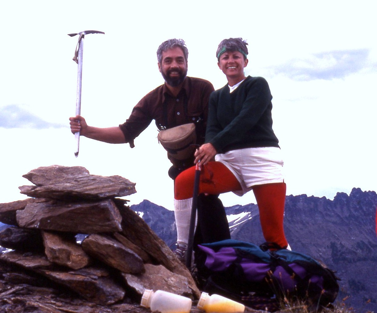
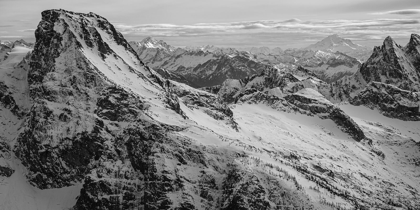
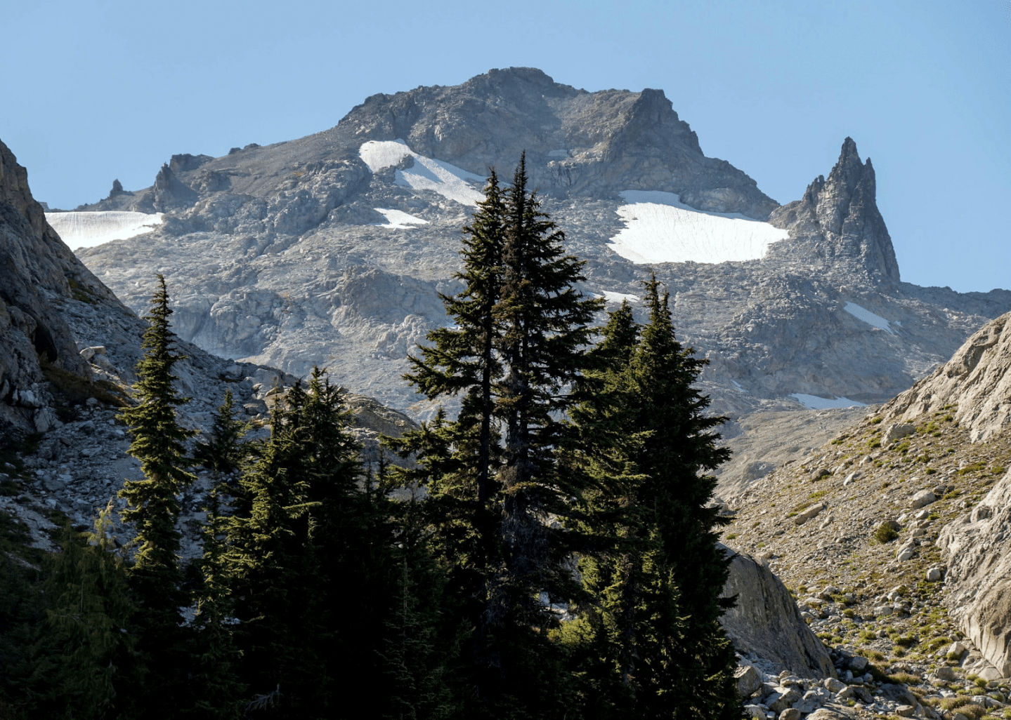
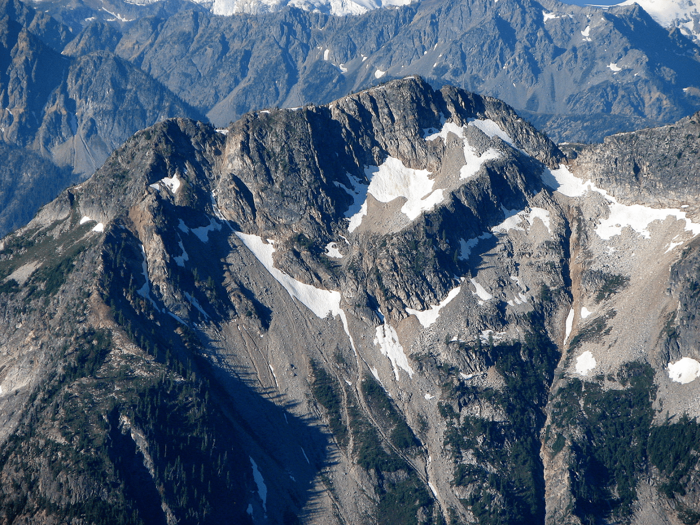
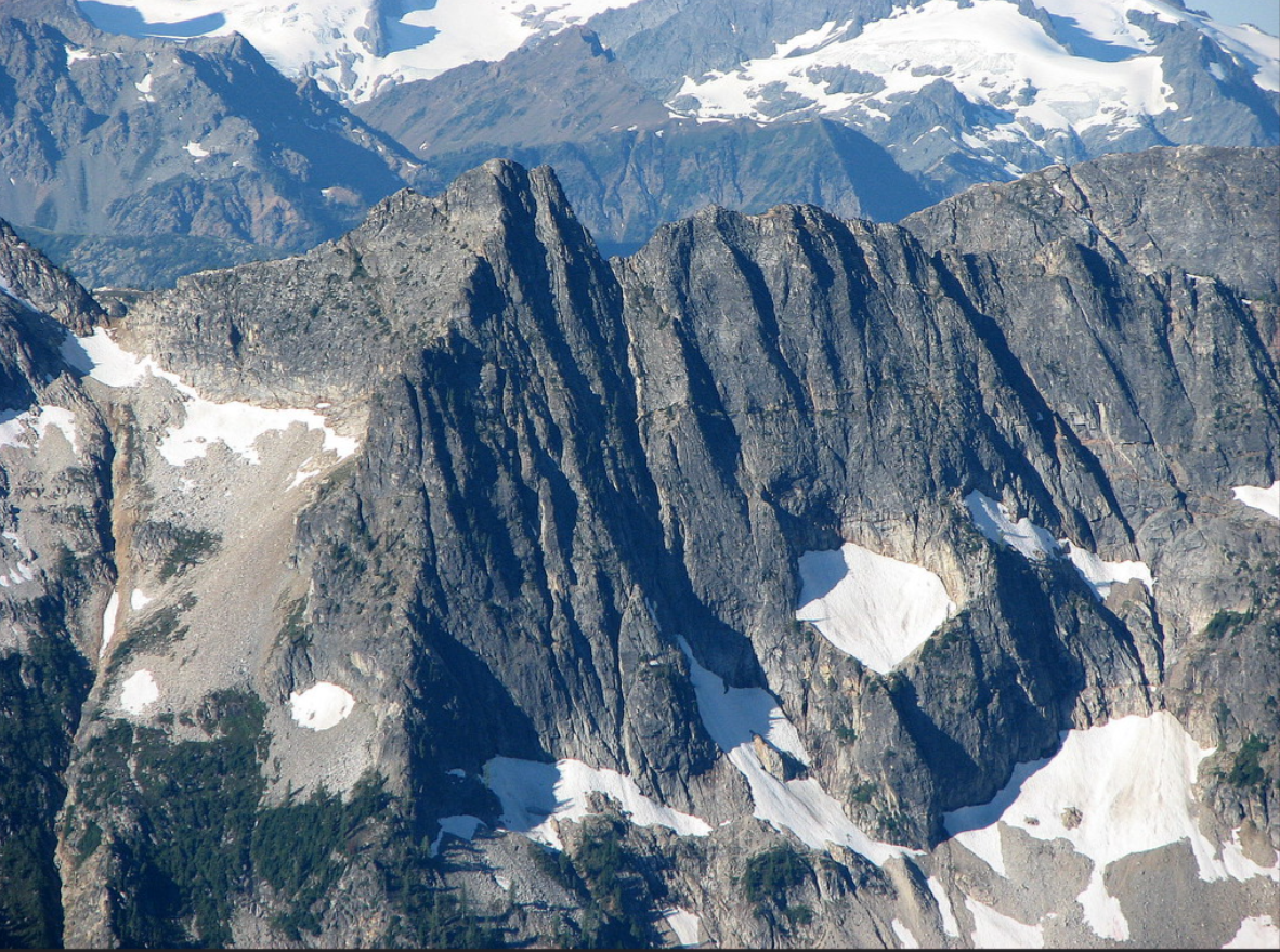
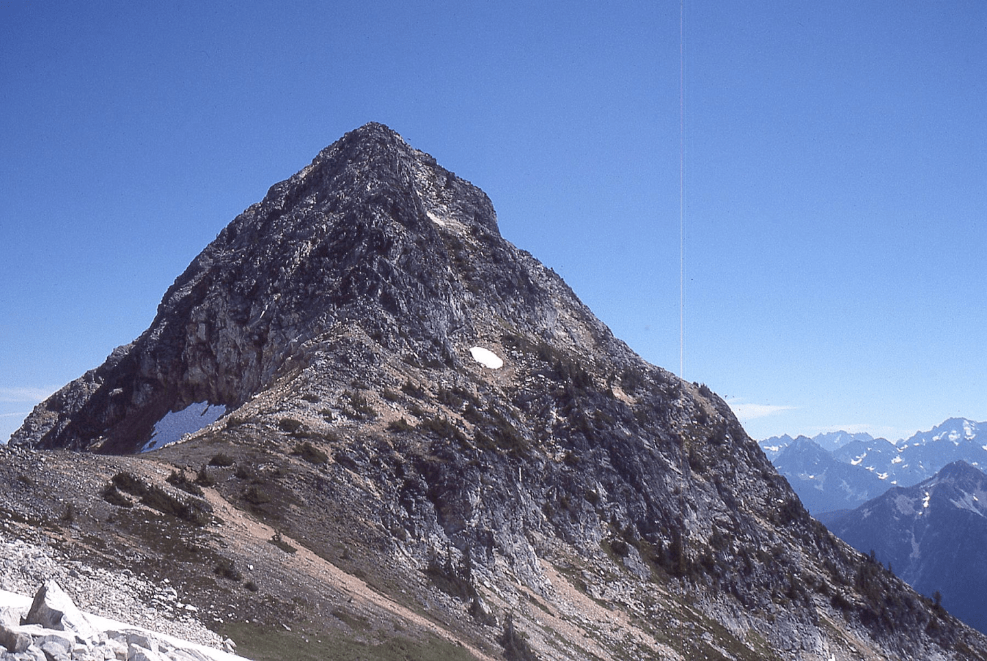
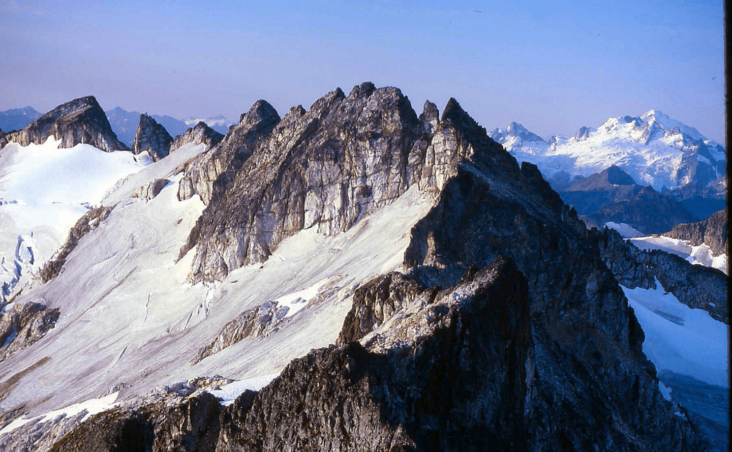
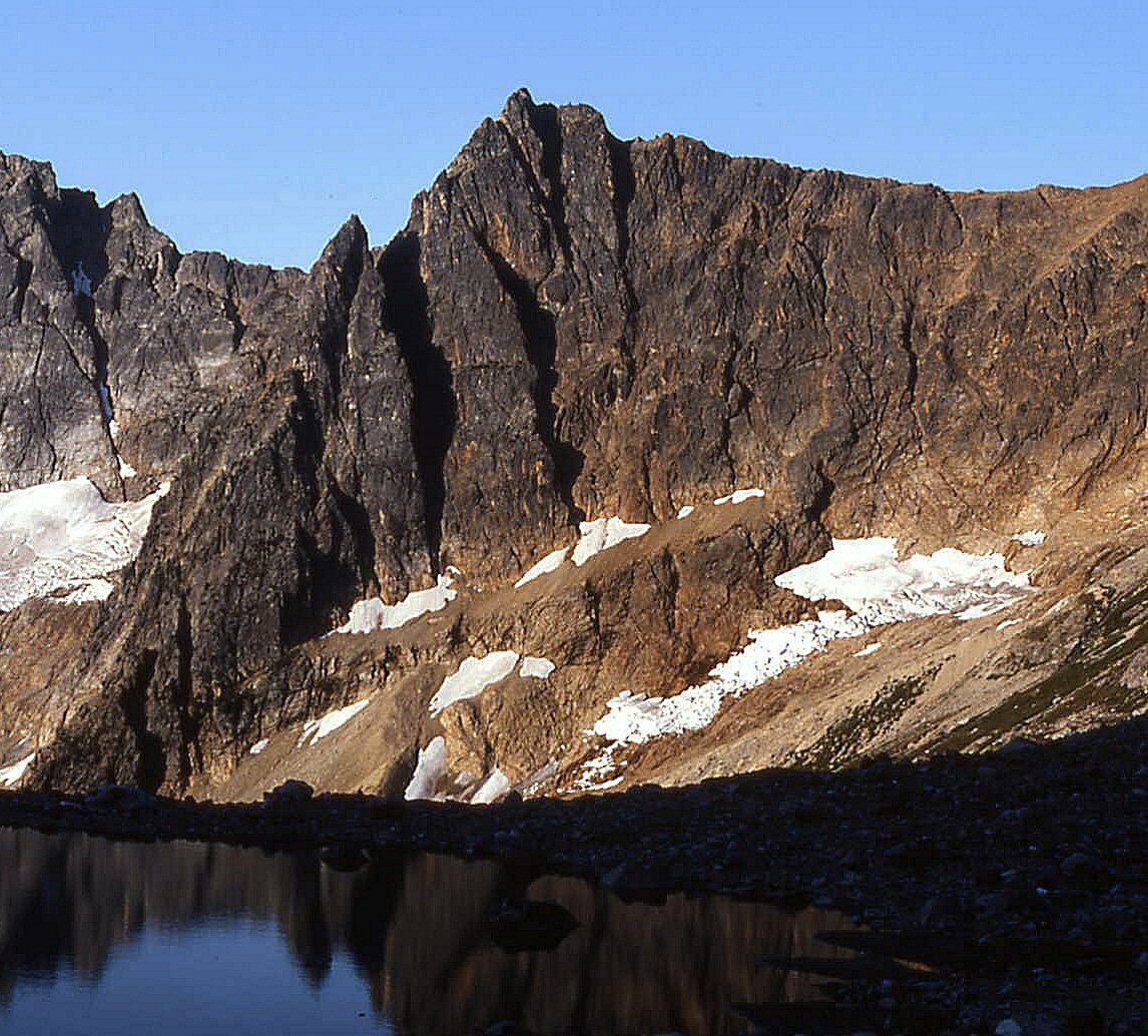
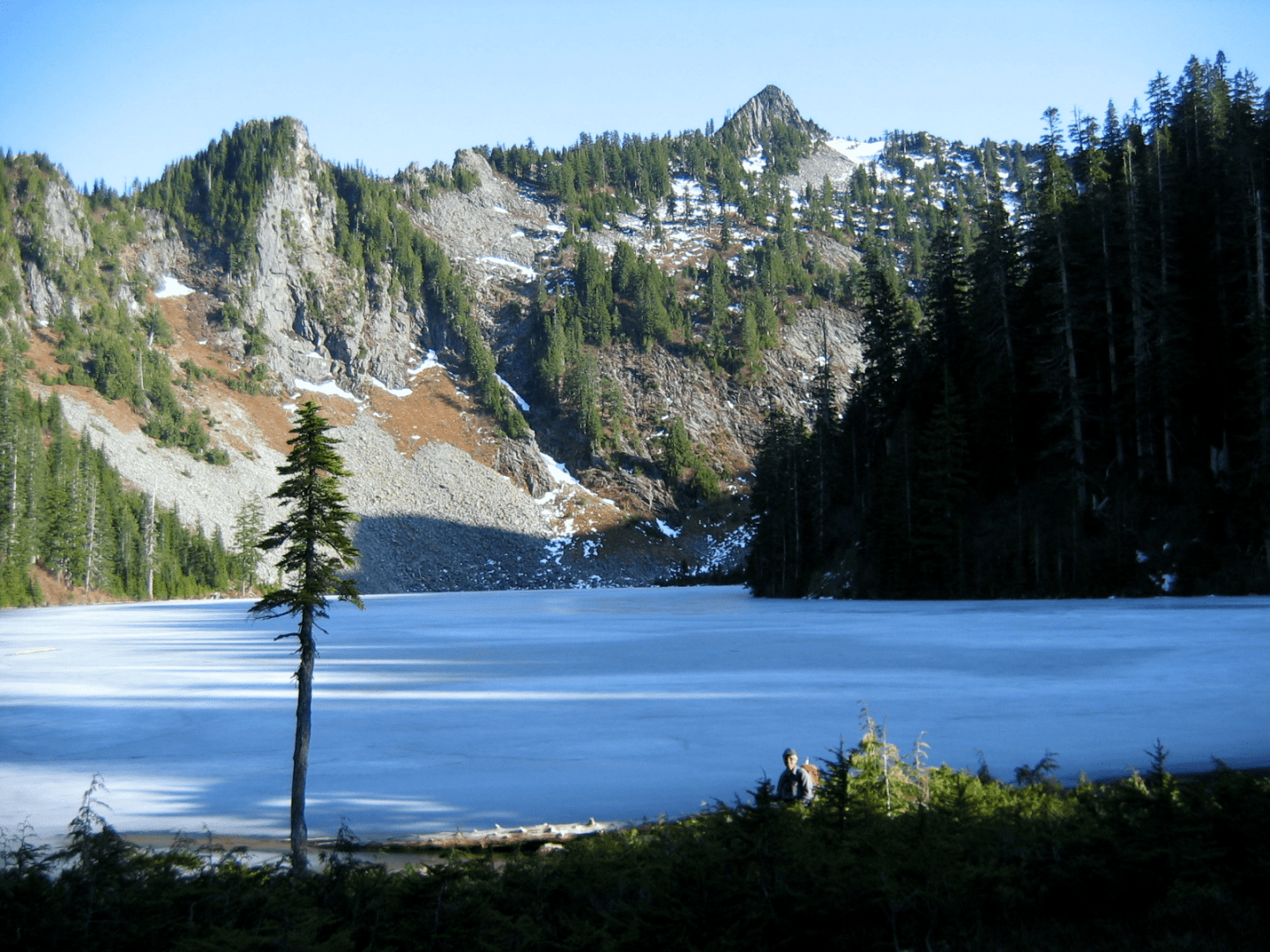
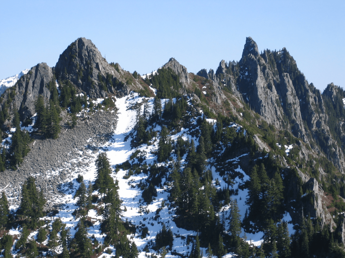
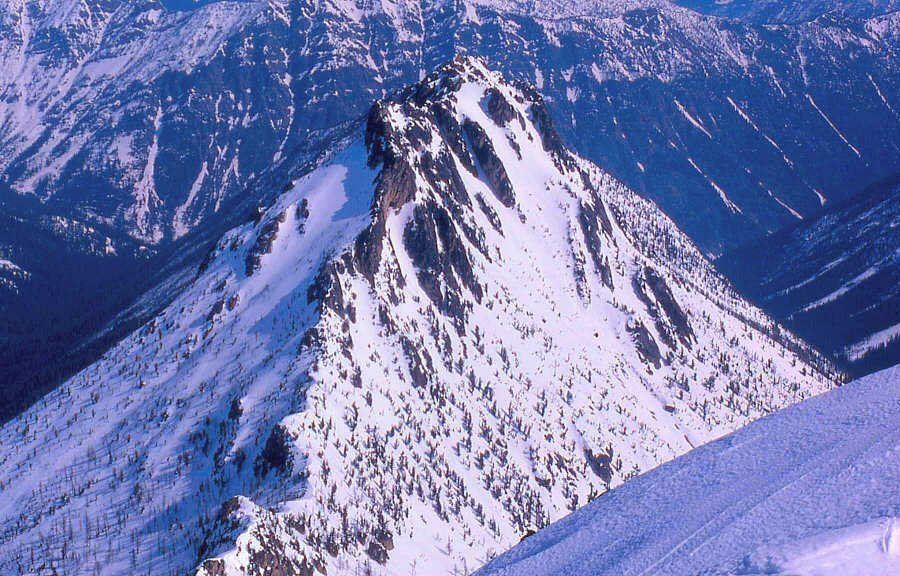
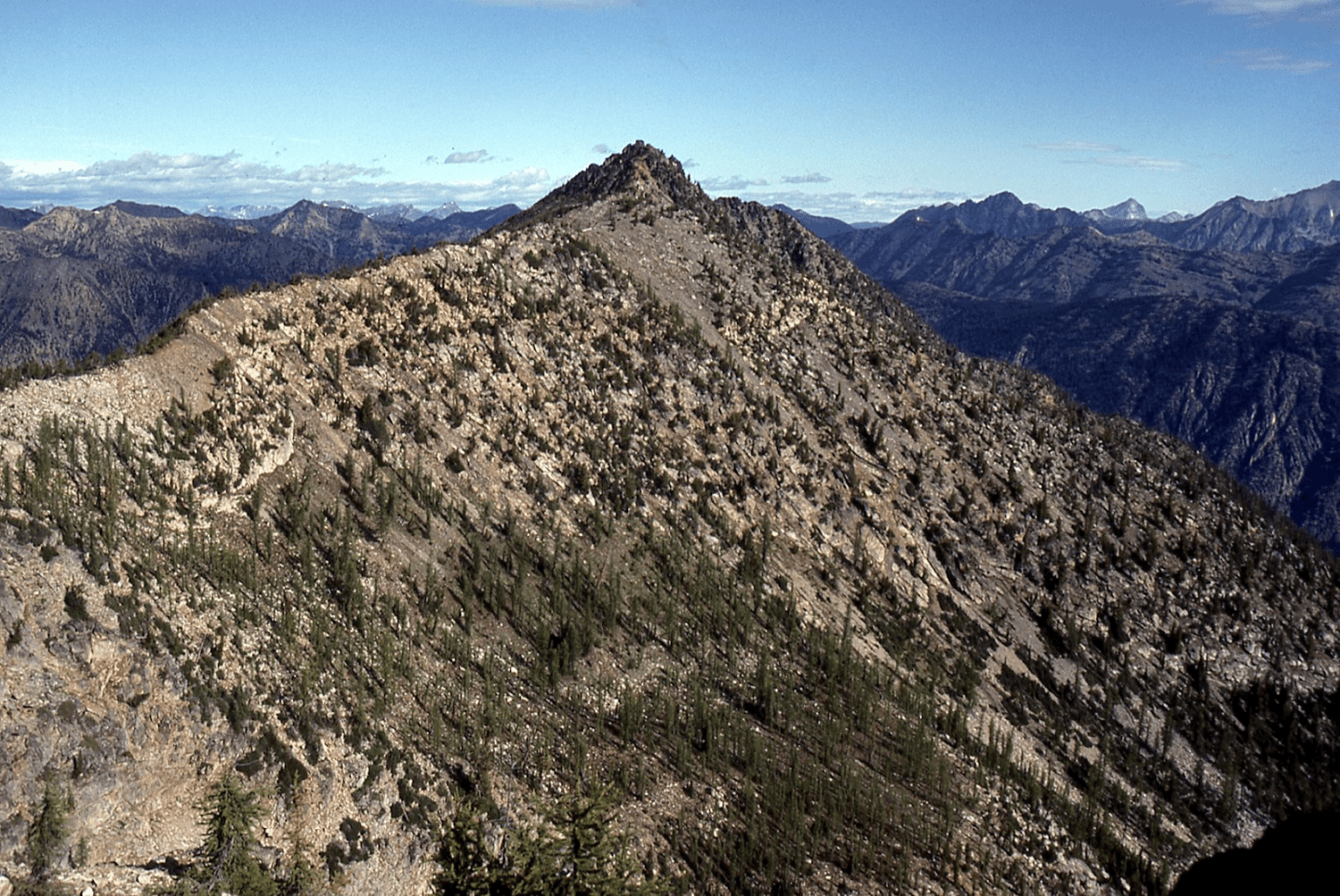
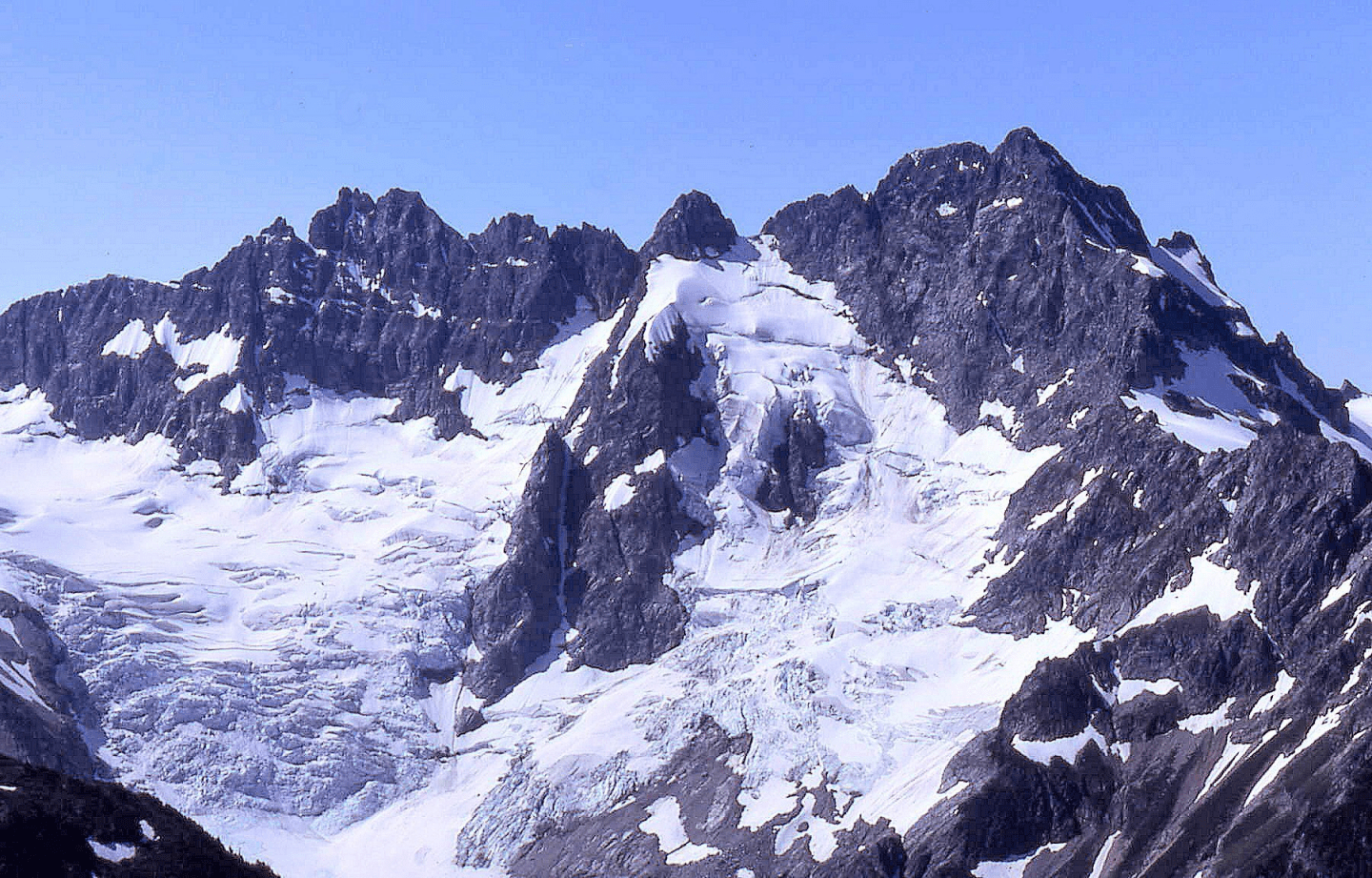
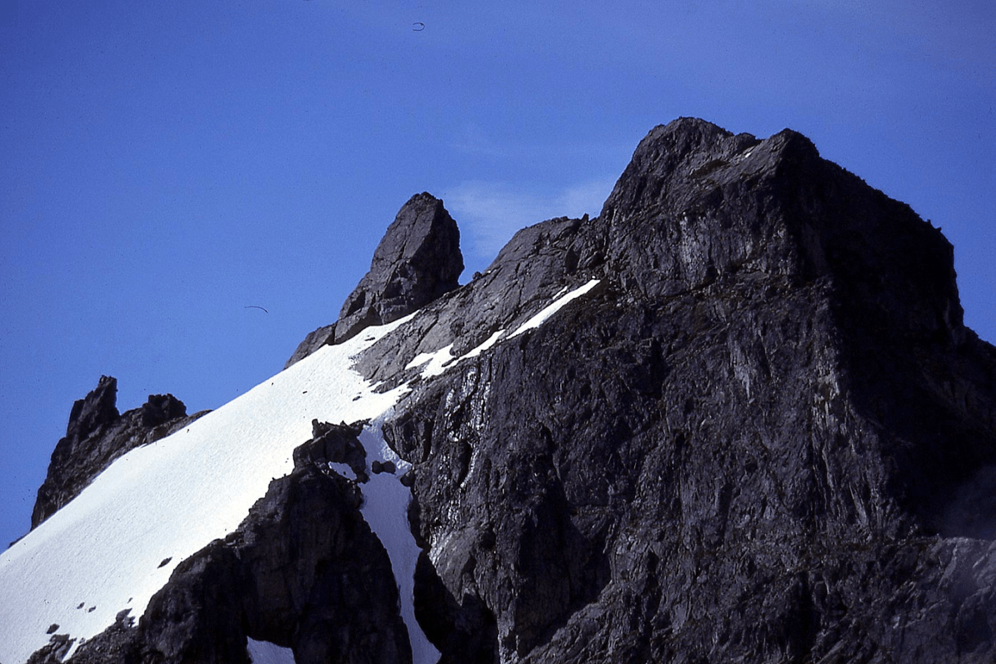
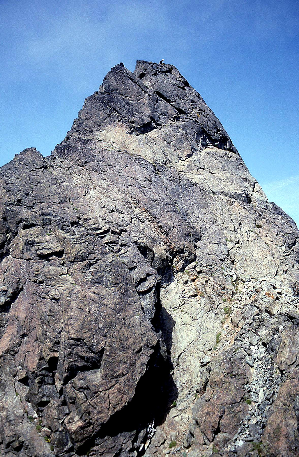
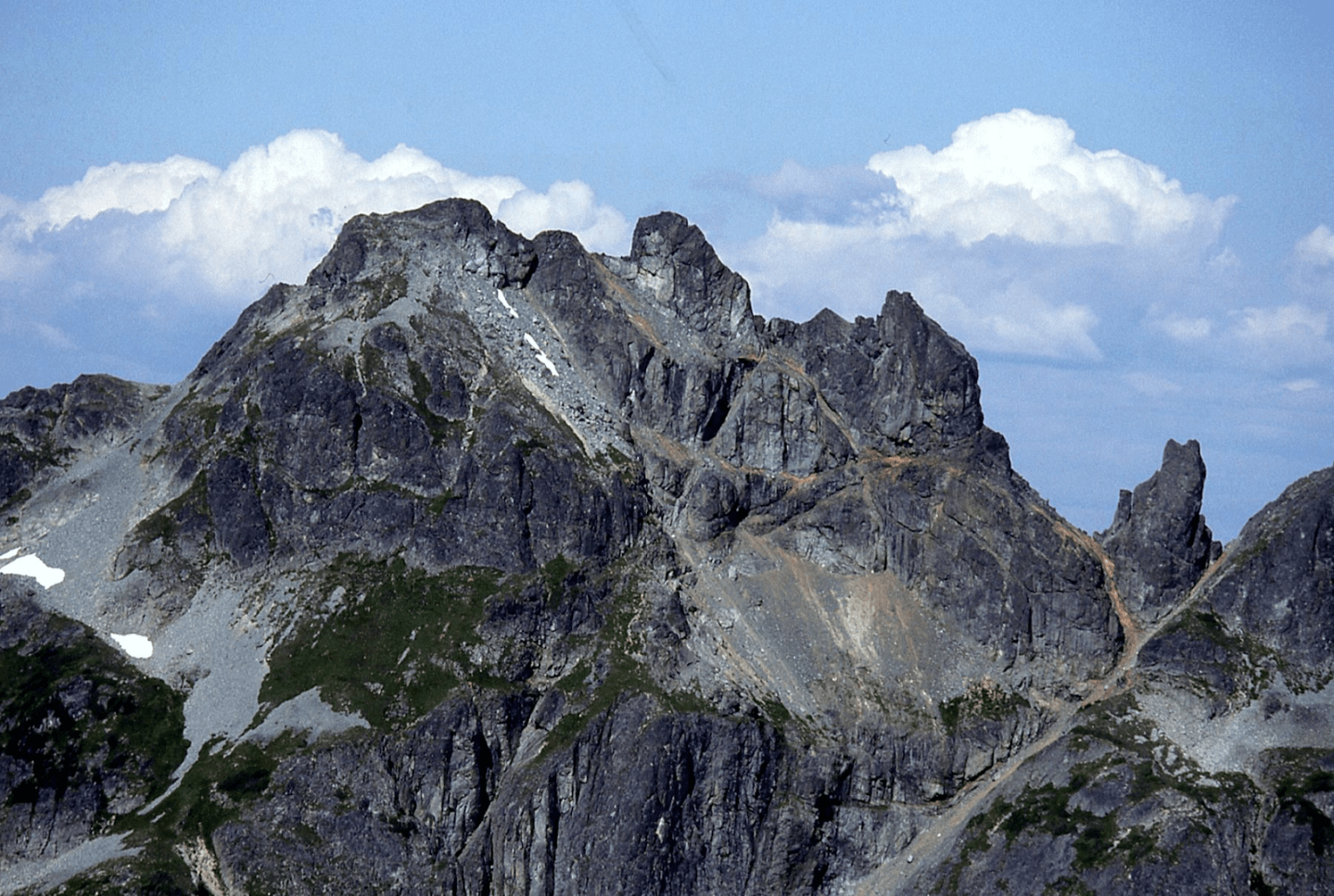
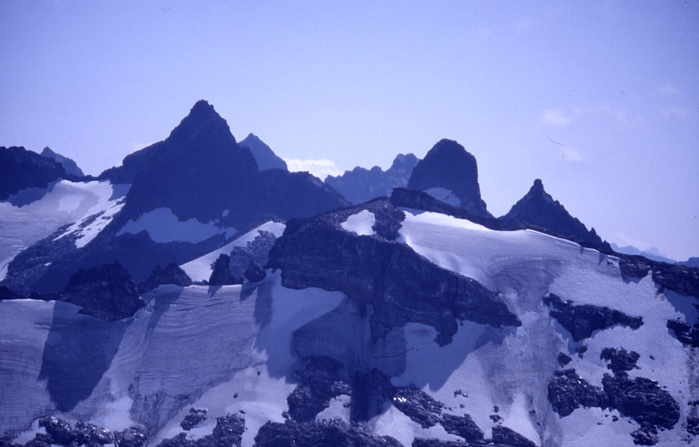
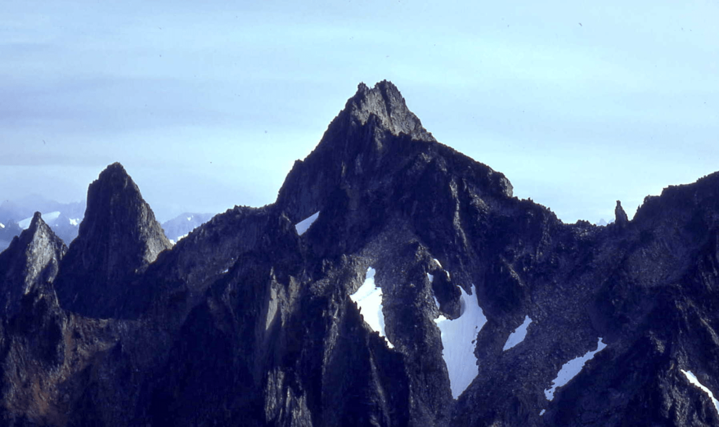
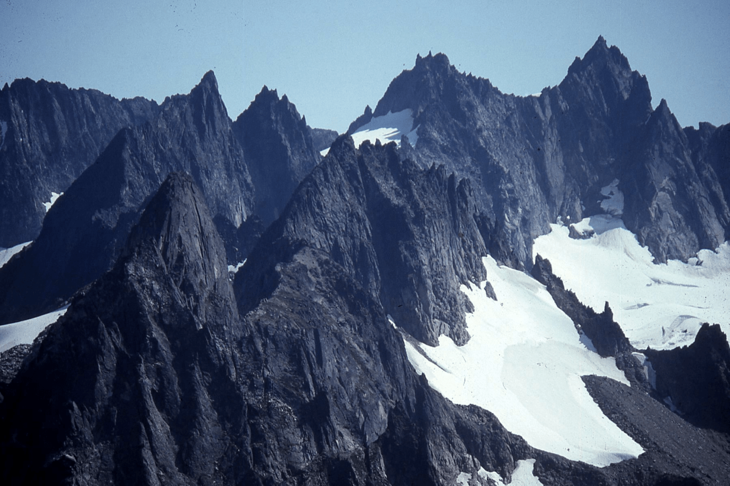
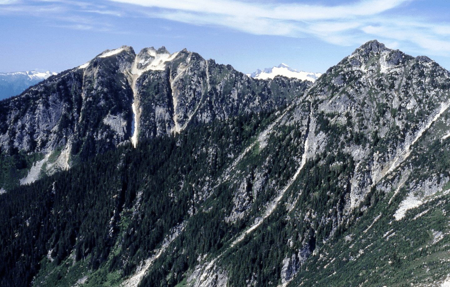
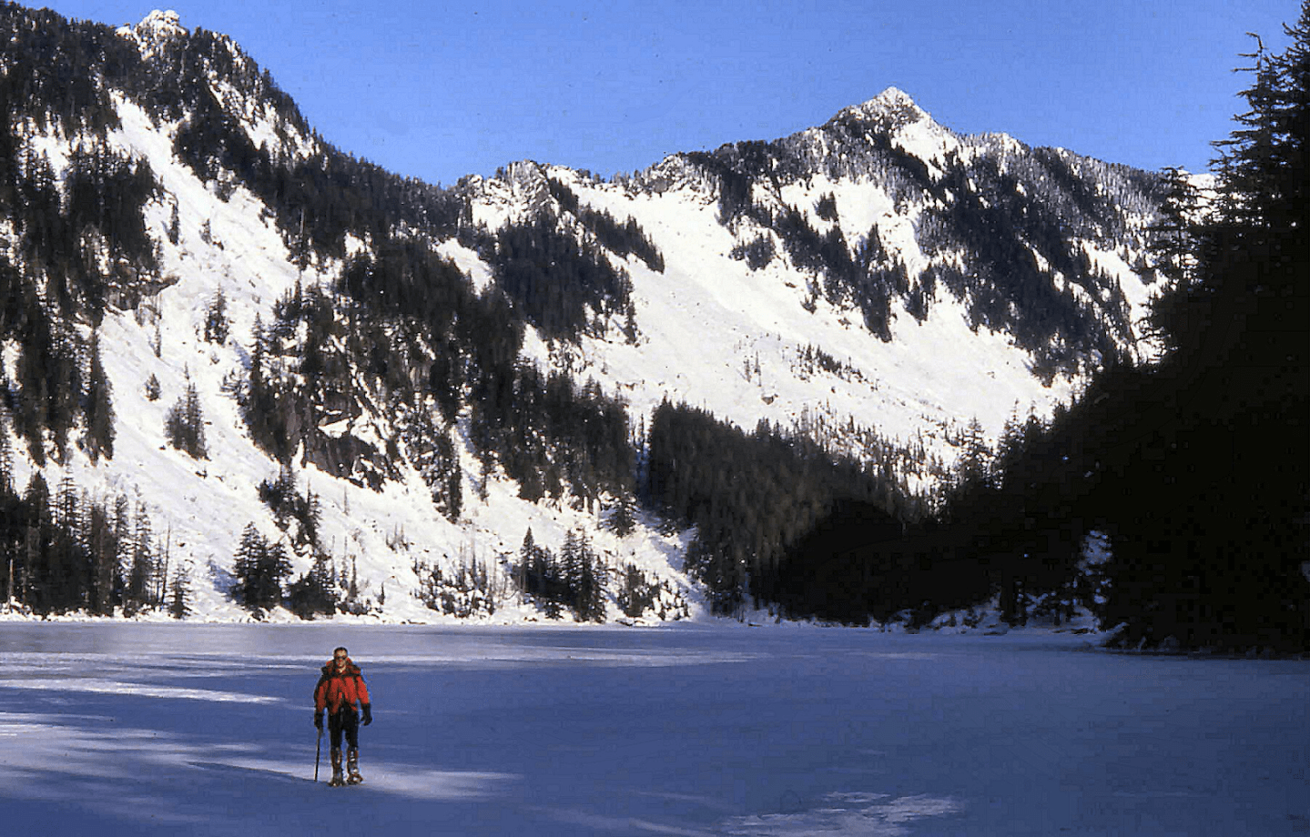
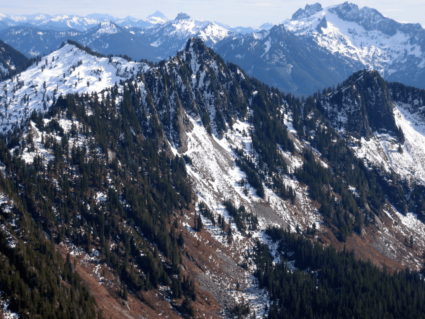
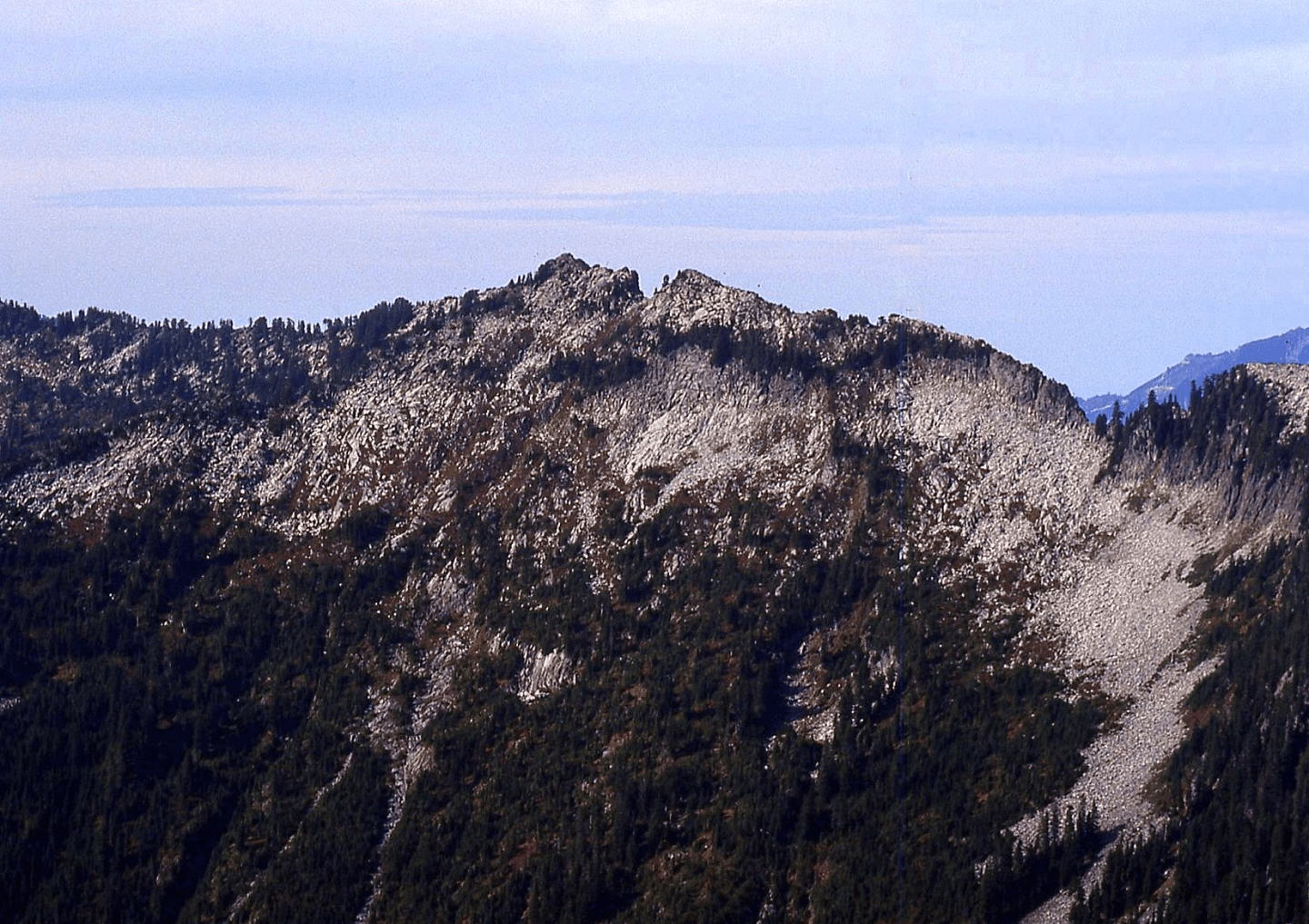
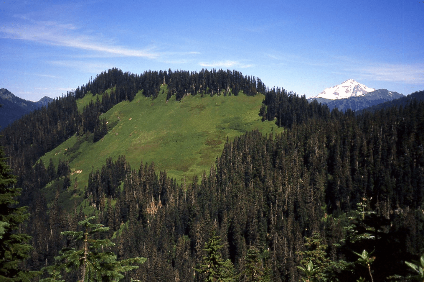
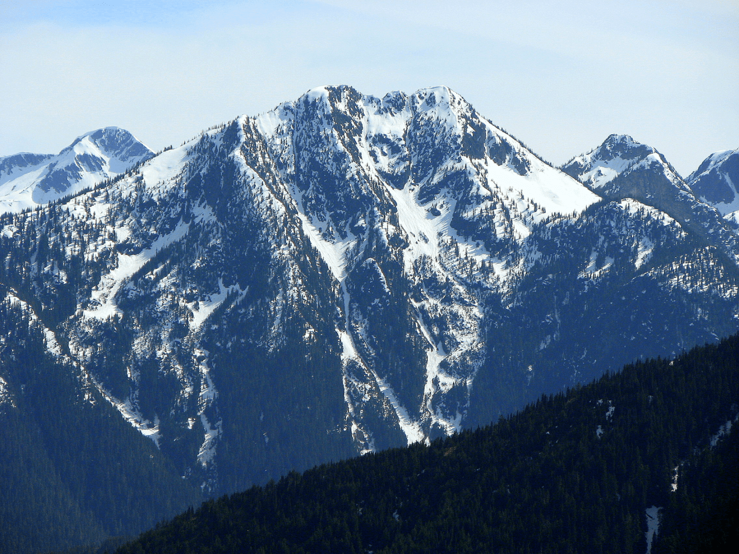
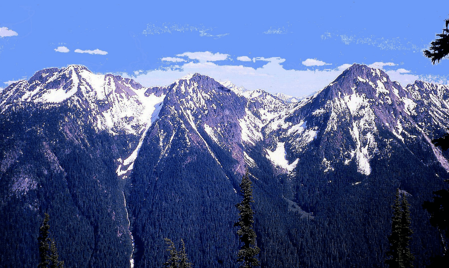
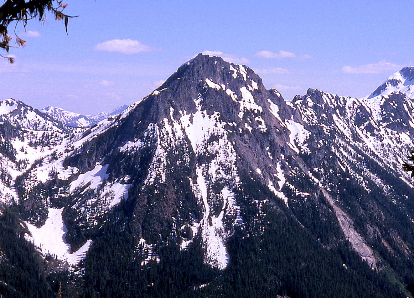
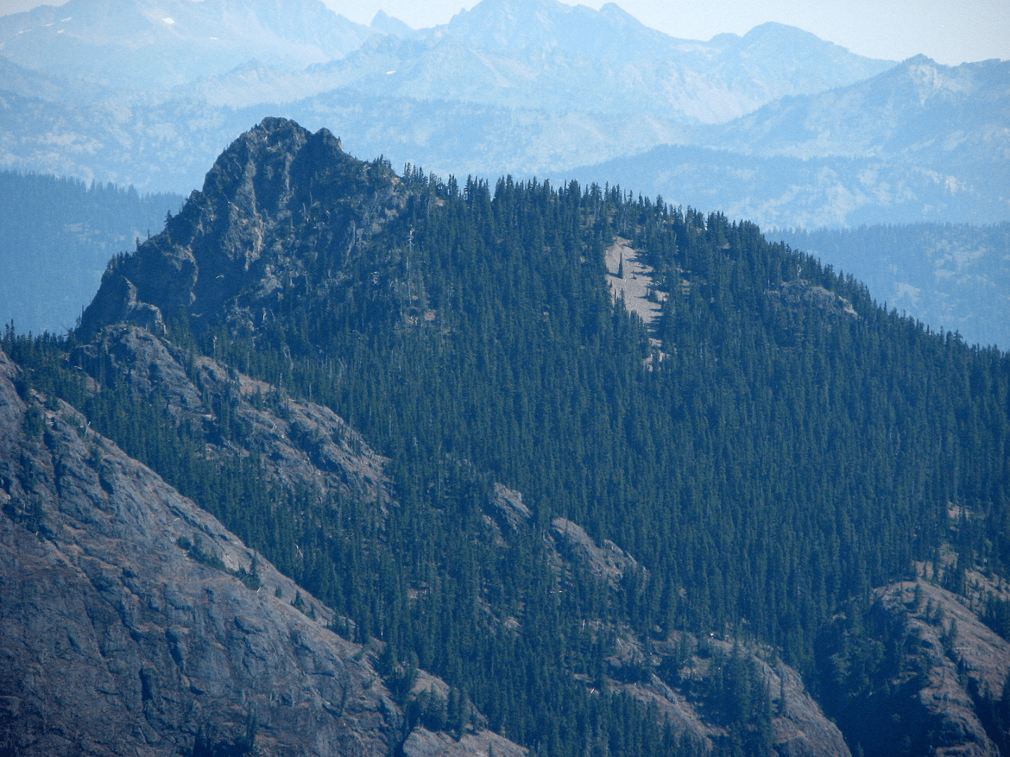
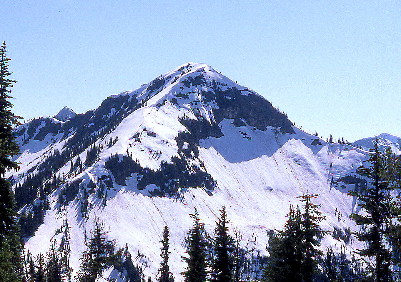
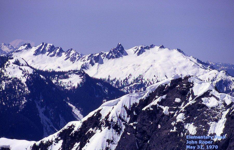
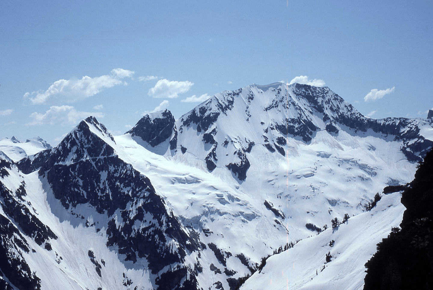
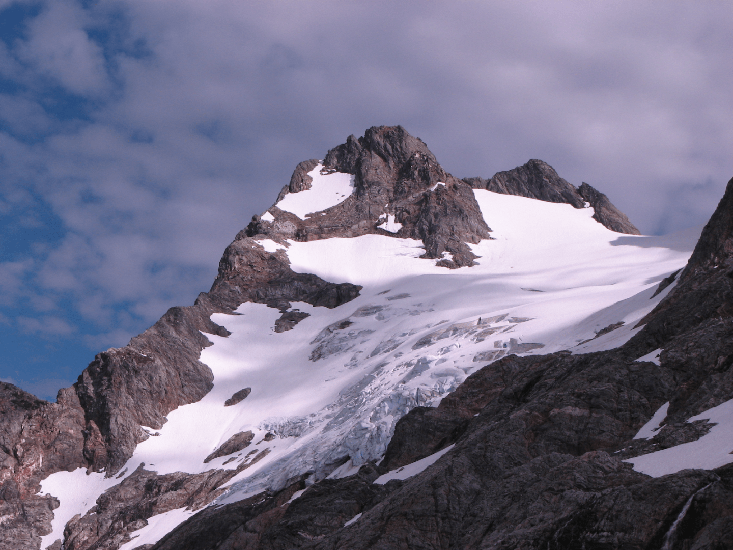
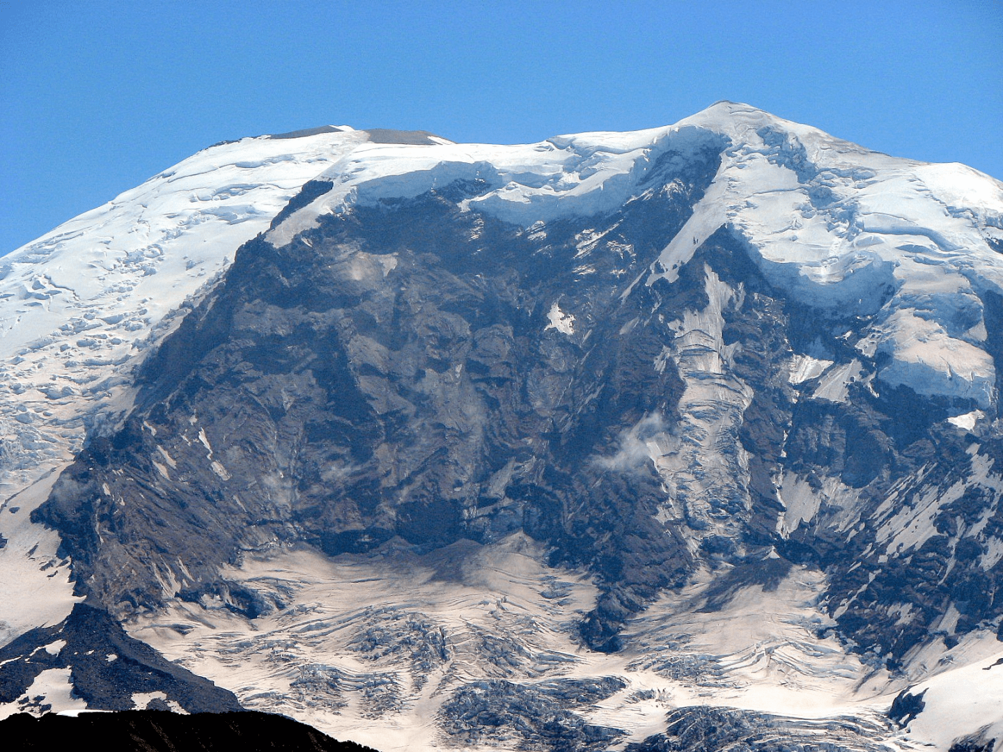
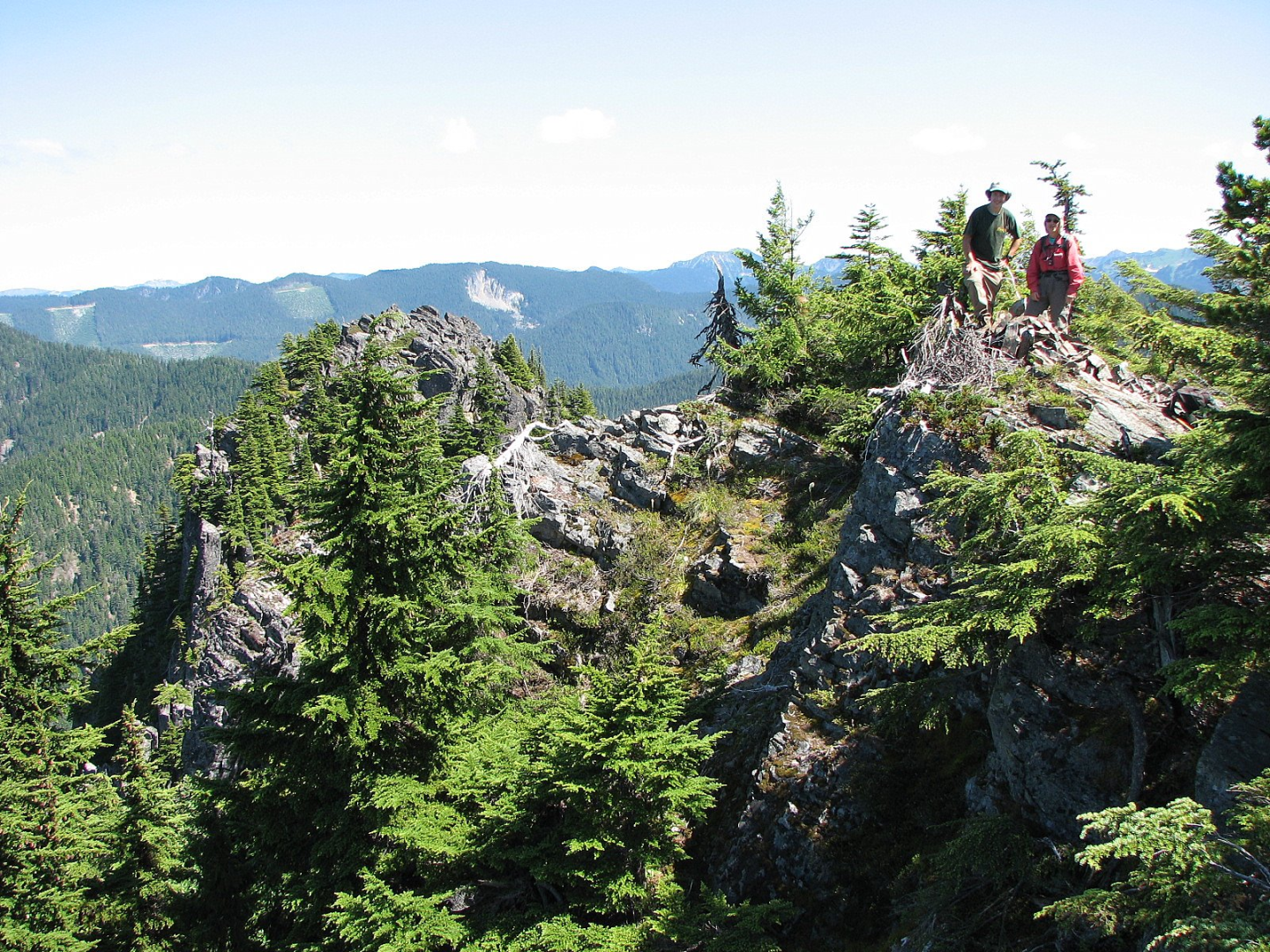